ParkaDownload
Great Basin National Park

Trails in Great Basin National Park

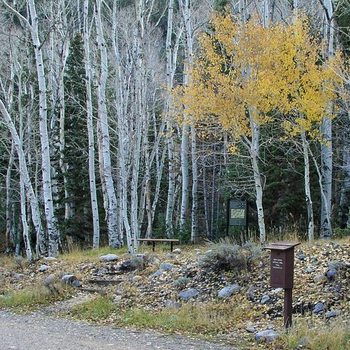
Great Basin National Park packs an impressive range of hiking into a compact, high-desert mountain landscape. With 23 trails spread across easy, moderate, difficult, and extreme categories, it works just as well for a short scenic stroll as it does for a full-value alpine effort. Beginners can ease into the park on gentle walks like the ADA Sky Island Forest Trail, where interpretive signs and a mellow grade introduce the park’s distinct sky-island ecology, while easy options such as Baker Creek offer a longer but still approachable outing. Moderate hikers have some of the park’s best variety, including the Upper Strawberry Trail, where meadows, flowing water, and seasonal color make the climb feel especially rewarding, and the trail to the Wheeler Bristlecone Grove, one of the park’s signature hikes. What makes hiking here special is the sheer contrast. In a single park, you can move from sagebrush country to creek-lined canyons, climb into dense conifer forest, and continue toward stark alpine slopes beneath some of the oldest living trees on Earth. Standout trails reflect that diversity. The hike to the Wheeler Bristlecone Grove delivers the park’s most iconic natural atmosphere, with ancient bristlecones and big mountain views, while the trek to Lexington Arch leads to one of the largest limestone arches in the world in a quieter, more remote corner of the park. For stronger hikers, the difficult and extreme routes add a more rugged side to Great Basin, with steeper grades, higher elevations, and a real sense of isolation. That isolation is part of the park’s appeal. Great Basin remains one of the West’s most underrated hiking destinations, and its trails often feel calm, uncrowded, and deeply immersive. You come here for clean air, dark skies, old-growth bristlecones, and the satisfying feeling of climbing through multiple ecosystems in a single day. Whether you want an accessible forest walk or a demanding mountain ascent, hiking in Great Basin feels wild, spacious, and refreshingly unhurried.

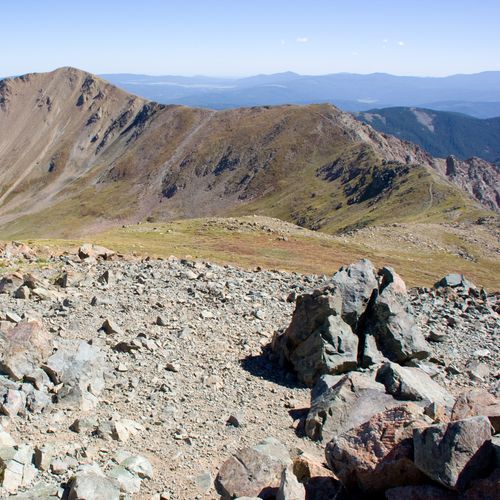
Lexington Arch Trail

Moderate5.4 mi

Hike through a rugged, high-elevation landscape to reach a unique limestone arch, possibly formed from an ancient cave system. The trail offers stunning views and solitude, with the arch standing as a testament to geological forces. Be prepared for challenging terrain and variable weather conditions.

Wheeler Peak Summit Trail

Wheeler Peak Summit Trail

Difficult8.5 mi

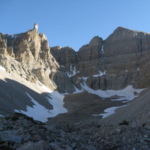
This challenging hike begins at the Summit Trailhead and ascends through a scenic landscape, eventually surpassing the treeline. The trail features steep inclines and exposed terrain, with potential for thunderstorms and high winds. The summit offers panoramic views, making it a rewarding destination for experienced hikers.

Baker Creek Loop Trail

Baker Creek Loop Trail

Easy0.5 mi

Meander through a forest of conifers and low-lying sagebrush and grass meadows. The trail offers a scenic green meadow in summer and late spring, or a pristine snow-covered surface in winter. Wildflowers often fill the fields around the trailhead in the springtime.

Baker Creek Trail

Baker Creek Trail

Extreme9.8 mi

This trail features a rugged landscape with notable elevation changes, offering a challenging experience for hikers. The terrain demands careful navigation and preparation, making it suitable for experienced adventurers.

Glacier Trail

Glacier Trail

Easy1.7 mi

This trail offers a serene hike through alpine landscapes, providing views of surrounding mountains and valleys. The terrain is generally gentle, making it accessible for casual hikers. The trail's scenic beauty includes diverse flora and fauna typical of the region.

Johnson Lake Trail

Difficult4.2 mi

This trail offers a scenic loop around Johnson Lake, providing stunning mountain vistas and serene lake views. The area is rich in natural beauty, with opportunities to observe local wildlife and enjoy the peaceful surroundings of the Gallatin County landscape.

Lehman Creek Trail

Lehman Creek Trail

Moderate3.3 mi

This trail offers a mix of open meadows, creekside walking, and forest, with great views of Wheeler Peak. It passes through several microclimates, gaining elevation quickly. The trail is popular for birding and hiking, though it can be challenging due to snow and mud in certain seasons.

Osceola Ditch Trail

Osceola Ditch Trail

Moderate6.3 mi

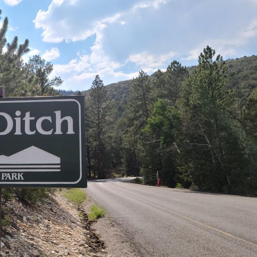
Follow a relatively flat trail through montane life zones, featuring piñon and juniper trees. The trail offers views of the Snake Valley and remnants of a historic ditch used for gold mining. It leads to Mill Creek and Strawberry Creek areas, providing opportunities for shorter or longer hikes.

Pole Canyon Trail

Moderate3.5 mi

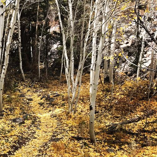
This trail offers stunning views of mountainous landscapes and aspen groves. It traverses through meadows and over low mountain passes, providing a picturesque experience throughout the year, even in winter with snowshoes.

Serviceberry Trail

Serviceberry Trail

Moderate3.1 mi

This loop trail winds through aspen and serviceberry groves, offering a scenic hike with a notable elevation gain. The trail provides expansive views, making it a rewarding experience for hikers. The surrounding landscape is characterized by its natural beauty and diverse flora.

Snake Divide Trail

Extreme6.9 mi

This trail offers breathtaking views of distant peaks and traverses through a forest of ancient Bristlecone Pines, some dating back to the Bronze Age. The path requires careful navigation, especially in rocky areas, but rewards hikers with stunning natural scenery and solitude.

Upper Strawberry Trail

Upper Strawberry Trail

Moderate1.5 mi

This trail ascends through meadows and forests, offering scenic views of the surrounding landscape. It is a prime area for wildlife, including elk, and features a creek that supports trout restoration efforts. The trail passes through areas recovering from past fires, showcasing nature's resilience.

Baker Meadows Trail

Moderate2.7 mi

No description available

Highland Ridge Route

Extreme10.2 mi

This route traverses through high desert landscapes, offering dramatic views of mountain ridges and unique geological formations. It connects with Great Basin National Park, featuring diverse flora and fauna, including ancient bristlecone pines and a variety of wildlife.

Island Forest Trail

Moderate2.8 mi

Meander through a tranquil forest setting, enjoying the natural beauty and peaceful atmosphere. The trail features a smooth surface, ideal for a leisurely stroll.

North Fork Big Wash Trail

Extreme6.7 mi

This trail offers a journey through desert landscapes, featuring a variety of flora and fauna unique to arid environments. The terrain is characterized by its natural beauty and diverse wildlife, making it a unique hiking experience.

Sage Steppe loop trail

Easy1.2 mi

Snake Overlook Loop Trail

Easy0.7 mi

This loop trail offers a scenic view of the valley below, passing through a forest of pine, fir, and aspen trees. It is an excellent choice for a short, relaxing hike or as a precursor to longer adventures in the area.

Bonita Cabin Trail

Easy0.1 mi

This trail offers a serene walk through a forested area, providing opportunities to observe local wildlife. The trail's short length and minimal elevation change make it accessible for casual hikers.

Camground Connector Trail

Easy0.6 mi

This trail offers a straightforward, low-elevation route ideal for families or those looking for a leisurely stroll between campgrounds. It provides a chance to enjoy the natural surroundings without the need for extensive hiking experience.

Dead Lake Trail

Difficult2.6 mi

This trail leads to a picturesque alpine lake surrounded by a lush meadow and dense forest. The hike offers stunning views of the surrounding landscape and is a great spot for nature lovers. The trail follows an old mining road, which can be steep in some areas, but rewards with scenic vistas and diverse flora.

Lower Lehman Trail

Lower Lehman Trail

Easy0.5 mi

This trail follows the picturesque Lehman Creek, known for its small rapids and cascades. The area is rich in natural beauty, with opportunities for bird-watching and enjoying the serene mountain environment. It's a great spot for those looking to connect with nature and explore the unique ecosystem of the region.

Weaver Creek Trail

Difficult6.5 mi

Get offline trail maps and detailed hiking info in the Parka app

Download Parka — It's Free

Get offline trail maps for Great Basin National Park

Free on the App Store

Get Parka

Why Park Lovers Choose Parka

Trip Planner

All the tools for epic adventures

Works Offline

Fully functional without cell service

Updated Weekly

Trail conditions, alerts, and closures

Try Risk-Free

7-day free trial, cancel anytime

Start Your 7-Day Free Trial

Unlock everything you need for your next national park trip. Your first week is on us!

National Park vista

Start your adventure today

Download Parka and plan your perfect national park trip in minutes.