ParkaDownload
Mesa Verde National Park

Trails in Mesa Verde National Park

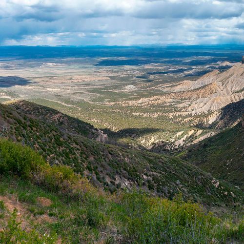
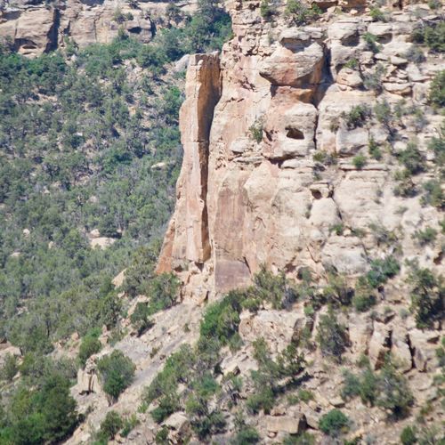
Mesa Verde’s hiking scene is smaller and more curated than in many western parks, but that is exactly its appeal. With 20 designated trails, the emphasis is on purposeful walks through a landscape where archaeology, canyon country, and big mesa-top views share the spotlight. Most routes fall on the easier end of the spectrum, making the park approachable for casual hikers and families, while a handful of difficult trails and one truly extreme outing deliver the steep grades and sustained effort that stronger hikers may want. This is not a park for wandering off-trail or chasing remote backcountry mileage; it is a place to hike with intention, on protected paths that reveal the terrain and the human story written into it. The standout trails reflect that range. Knife Edge Trail is a short, easier walk with sweeping views and a feel for the park’s early road history, while Soda Canyon Overlook rewards minimal effort with a classic look at cliff dwelling country. Hikers wanting more challenge can step up to trails such as Point Lookout, Petroglyph, Spruce Canyon, and Prater Ridge, where steeper climbs, canyon descents, and longer loops bring a more vigorous side of Mesa Verde into focus. What makes hiking here special is the setting itself: narrow mesas, rugged canyons, pinyon-juniper slopes, and sudden glimpses into alcoves where ancient communities once thrived. Every trail feels connected to the larger cultural landscape, so even a modest hike carries the sense that you are moving through one of the most remarkable human-and-natural environments in the National Park System.

Cliff Palace Trail

Cliff Palace Trail

Easy0.3 mi

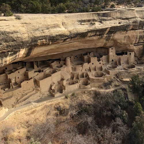
Experience the largest cliff dwelling in North America, featuring intricate architecture and historical significance. The site requires a ranger-guided tour, which includes climbing ladders and navigating through the ancient structures. This dwelling was once home to about 100 people and served as a social and ceremonial hub.
Far View Trail

Far View Trail

Easy0.7 mi

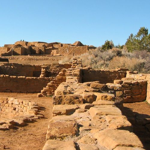
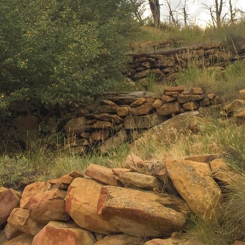
Walk through a historic mesa-top community featuring ancient pithouses and ruins. Highlights include Far View House, Coyote Village, and Far View Tower. The trail offers a glimpse into the lives of Ancestral Pueblo people who lived here centuries ago.

Farming Terrace Trail

Farming Terrace Trail

Easy0.4 mi

This short loop trail offers insights into the agricultural practices of the Ancestral Puebloans, featuring well-preserved check dams and terraces. The trail also provides access to the nearby Cedar Tree Tower ruins, a unique tower-kiva complex from the Classic period.

Knife Edge Trail

Knife Edge Trail

Easy1.6 mi

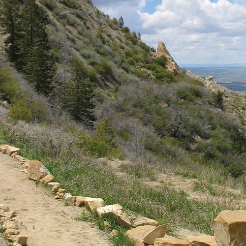
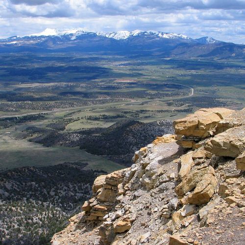
This trail offers expansive views of Montezuma Valley and the town of Cortez, with the La Plata Mountains and Point Lookout visible on clear days. The path features diverse vegetation, including piñon pines and black sagebrush, and passes large sandstone boulders. A trail guide is available to highlight specific plant species along the way.

Knife Edge-Prater Ridge Connection

Knife Edge-Prater Ridge Connection

Easy0.6 mi

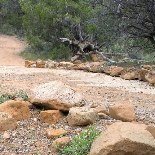
This trail offers stunning views of Montezuma Valley and the La Plata Mountains. It connects the Knife Edge and Prater Ridge trails, providing a scenic route with diverse vegetation, including piñon pines and black sagebrush. The trail follows a historic roadbed, now repurposed for hiking, and offers insights into the area's geological and botanical features.

Long House Loop Trail

Long House Loop Trail

Difficult5.3 mi

This loop trail offers a relaxed experience, allowing visitors to access various sites on Wetherill Mesa, including overlooks and trailheads for Badger House Community, Kodak House, and the Nordenskiold Site. Designed for walking and bicycling, it provides a unique perspective on the area's natural and cultural features.

Park Point Overview Trail

Park Point Overview Trail

Easy0.2 mi

Enjoy panoramic views of surrounding mesas, mountains, and valleys from the highest point in the park. The trail features a historic fire lookout and offers a cool, breezy spot for picnics. The views include the San Juan Mountains to the north and the high deserts of New Mexico to the south.

Petroglyph Point Trail

Petroglyph Point Trail

Easy1.3 mi

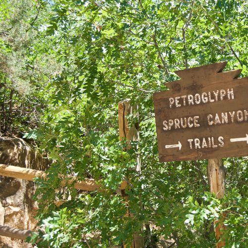
Winds through a juniper and pinon forest, leading to a cliff dwelling known as the Petroglyph Panel. The trail offers a unique opportunity to view ancient Puebloan rock carvings, providing a glimpse into the region's rich cultural history. The journey is further enhanced by panoramic views of the surrounding canyons and the distant La Plata mountain range. A variety of wildlife, including deer and birds, can be spotted along the route. The trail ends at a spectacular viewpoint overlooking the Spruce and Navajo Canyons, offering a breathtaking vista that encapsulates the rugged beauty of the region.

Point Lookout Trail

Point Lookout Trail

Easy1 mi

This trail winds through Pisgah National Forest, offering serene mountain views and a glimpse into the region's history. The highlight is Point Lookout, with its stunning vistas and benches for rest. The trail follows an old highway route, now converted into a paved greenway, perfect for hiking and biking.

Prater Ridge Cutoff

Prater Ridge Cutoff

Difficult6.4 mi

This short trail segment provides a glimpse into the natural beauty of the area, with views into nearby canyons. It serves as a shortcut for those looking to shorten their hike on the larger Prater Ridge Trail system.

Soda Canyon Overlook Trail

Soda Canyon Overlook Trail

Easy0.7 mi

Meander through a pinyon-juniper forest to three scenic overlooks offering views of Balcony House and other cliff dwellings. The trail features mature trees and diverse wildlife, including mule deer and wild turkey. It's a unique spot to observe Balcony House without a guided tour.

Spruce Canyon Trail

Spruce Canyon Trail

Easy1.5 mi

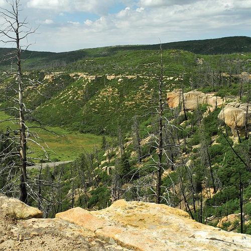
This trail takes you down into a picturesque canyon, offering views from switchbacks and traversing through a grove of Gambel oaks. The path crosses small wooden bridges and navigates around large boulders, showcasing active erosion. The hike concludes by ascending out of the canyon and passing historic park structures.

Square Tower House Overlook Trail

Easy0.1 mi

Experience an intimate look at a cliff dwelling with a four-story tower, original kiva roof, and unique rock art. The site offers a glimpse into the architectural achievements of the Ancestral Pueblo people, showcasing their ability to build upwards in a shallow alcove. The tour includes navigating ladders and carved stone steps, providing a thrilling adventure.

Badger House Community Trail

Easy0.8 mi

Journey through time at this archaeological site, featuring a mix of pithouses and pueblo structures. The area includes the Modified Basketmaker Pithouse, Developmental Pueblo village, Badger House, and Two Raven House, offering insights into the lives of the Anasazi people. The trail passes through a dense pinyon-juniper forest, home to wildlife familiar to the ancient inhabitants.

Sun Temple Trail

Easy0.1 mi

Walk around the Sun Temple, a unique D-shaped structure that stands out among Puebloan ruins. Its thick walls and lack of household goods suggest it was used for communal or ceremonial purposes. The site offers views of Cliff Palace and is easily accessible via a short paved path.

Tower Overlook Trail

Easy0.1 mi

This short trail leads to a scenic overlook, offering a quick and accessible way to enjoy the surrounding landscape. The trail is well-suited for families and those looking for a brief outdoor excursion.

APW Trail

Moderate1.5 mi

No description available

Geologic Overview Trail

Easy0.1 mi

This trail offers a concise journey through geological formations, providing insights into the region's natural history. The concrete surface makes it accessible for a variety of visitors, while the short distance ensures a quick and educational experience.

Old Tourist Trail (Pack Trail)

Extreme8.2 mi

This trail offers a rugged experience with significant elevation changes, requiring hikers to be well-prepared for the challenges ahead. The scenery varies greatly, offering diverse landscapes that test endurance and reward with unique views.

Pack Trail

Difficult7.8 mi

This trail offers a demanding hike through varied terrains, providing scenic views and challenging conditions for experienced hikers.

Get offline trail maps and detailed hiking info in the Parka app

Download Parka — It's Free

Get offline trail maps for Mesa Verde National Park

Free on the App Store

Get Parka

Why Park Lovers Choose Parka

Trip Planner

All the tools for epic adventures

Works Offline

Fully functional without cell service

Updated Weekly

Trail conditions, alerts, and closures

Try Risk-Free

7-day free trial, cancel anytime

Start Your 7-Day Free Trial

Unlock everything you need for your next national park trip. Your first week is on us!

National Park vista

Start your adventure today

Download Parka and plan your perfect national park trip in minutes.