ParkaDownload
Cuyahoga Valley National Park

Trails in Cuyahoga Valley National Park

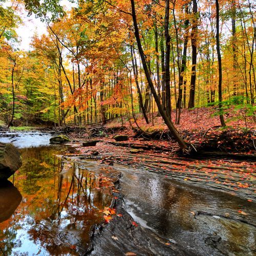
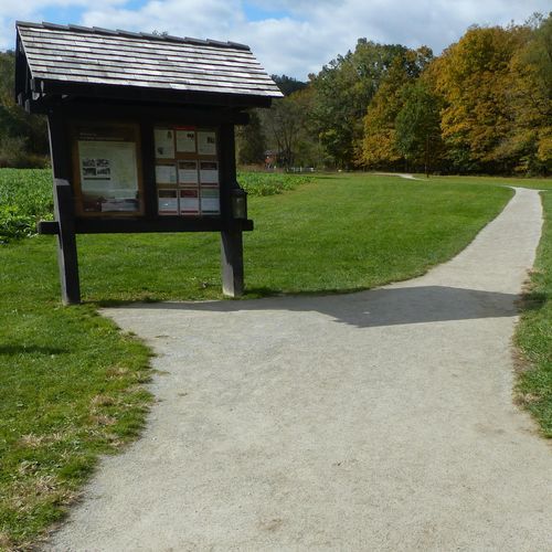
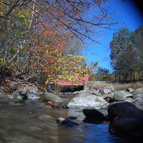
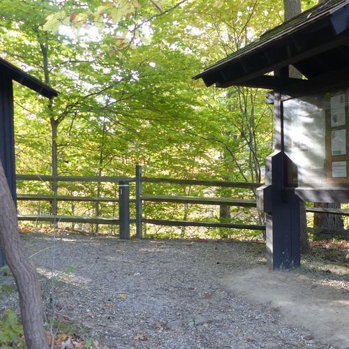
Hiking in Cuyahoga Valley National Park is wonderfully approachable, with a trail system that leans heavily toward easy walking while still offering enough rugged terrain to satisfy hikers looking for a harder day out. Most routes are gentle to moderate, making this one of the most inviting national parks for casual walkers, families, and anyone who wants to spend more time noticing the landscape than grinding through elevation. The Ohio & Erie Canal Towpath Trail is the signature route: broad, nearly level, and ideal for soaking up the park’s history as it follows the old canal corridor through the heart of the valley. It is the park’s easiest great walk and the best introduction to Cuyahoga’s character. What makes hiking here special is the variety packed into a relatively compact landscape. Trails move through deep woods, wetlands, old fields, and rolling hills, with the Cuyahoga River tying the scenery together. One stretch may feel pastoral and open, while the next drops into a shaded ravine with stream crossings on stepping stones or log bridges. The park’s more difficult and extreme trails climb away from the flat valley floor into steeper uplands and ravines, where the terrain becomes more uneven, more physical, and more rewarding for experienced hikers. This is not a park defined by one epic summit trail, but by range, texture, and atmosphere. You can choose an easy ramble, a moderate woodland loop, or a more demanding route that explores the valley walls, all within a landscape that feels surprisingly wild for its location between Cleveland and Akron. That contrast is part of Cuyahoga Valley’s magic: it offers quiet forests, water, history, and real trail variety in a national park that feels both accessible and unexpectedly immersive.

Brandywine Gorge Loop

Brandywine Gorge Loop

Easy0.9 mi

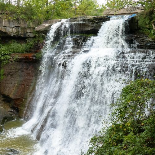
This trail offers stunning views of a picturesque waterfall, set within a gorge filled with diverse flora and fauna. The hike includes scenic overlooks and a chance to explore the geological formations of the area, making it a popular choice for nature enthusiasts.
Cuyahoga Valley Trails - NPS

Cuyahoga Valley Trails - NPS

Extreme15 mi

Winding paths lead through dense forests of oaks, hickories, and maples, past historic farms, and alongside the Cuyahoga River. The landscape shifts between open fields and wooded areas, offering views of wildflowers like violets and daffodils. Historic sites, such as tree nurseries from the Great Depression era, add depth to the natural beauty. The trails also feature scenic overlooks and opportunities to explore covered bridges, making them a rich experience for nature lovers and history enthusiasts.

Ledges Trail

Ledges Trail

Easy1.6 mi

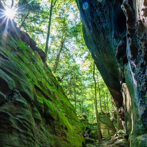
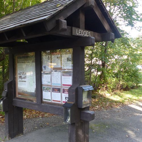
This trail circles a plateau of striking rock formations, offering stunning views and unique geological features. The path winds through narrow passageways, under beautiful hemlock canopies, and past stone staircases. Highlights include the Ledges Overlook and the Ice Box Cave, a cool retreat home to brown bats. The trail is known for its scenic beauty and historical significance, built by the Civilian Conservation Corps.

detour for OET Towpath

detour for OET Towpath

Easy1.4 mi

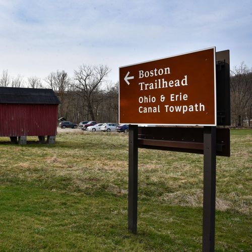
Follow the path of the historic Ohio & Erie Canal, where mules once pulled canal boats. The route winds through a diverse landscape, offering scenic views of the Cuyahoga River and opportunities to see nocturnal wildlife. Highlights include restored locks, historic homes, and bridges. The trail provides a unique blend of natural beauty and cultural heritage, with access to visitor centers like the Canal Exploration Center at Lock 38.

Bedford Reservation

Bedford Reservation

Extreme14.8 mi

Tinker's Creek Gorge, a National Natural Landmark, offers breathtaking views of waterfalls and deep forests. The area is home to over 70 cascades and waterfalls, including Bridal Veil Falls. Mature trees and abundant wildflowers thrive in its rugged terrain, creating a picturesque landscape. The gorge is part of a larger forested area that provides habitat for diverse wildlife and offers opportunities for hiking, biking, and horseback riding.

Bike and Hike Trail

Extreme33 mi

Following the course of two abandoned railroads, the trail offers a diverse landscape of rural and suburban settings, featuring bridge crossings and neighborhood roads. It parallels scenic sections of the Cuyahoga River, where wildlife such as great blue herons and Canada geese can be spotted. The trail also passes by Brandywine Falls, one of Ohio's highest waterfalls, and offers connections to other regional trails, providing a rich experience of both natural beauty and historical significance.

Boston Run Trail

Boston Run Trail

Moderate3.2 mi

This trail traverses through a forested area featuring beech, dogwood, and low-lying meadows. It offers a scenic hike with creekbeds and diverse wildlife, including squirrels and various bird species. The nearby Happy Days Lodge provides access to additional trails and events.

Buckeye Trail (Akron)

Extreme56.7 mi

Wander through a diverse landscape of woodlands, waterfalls, and wetlands, featuring over 100 waterfalls, including the iconic Brandywine Falls. The trail often follows wooded dirt paths and crushed limestone towpaths, offering opportunities to connect with nature and history. Hikers can also take advantage of a scenic railroad tour, enhancing the experience with a unique perspective on the valley's beauty.

Buckeye Trail (Medina)

Buckeye Trail (Medina)

Extreme55.8 mi

The trail begins at Findley State Park, winding through rural landscapes and crossing Spencer Lake on a causeway within the Spencer Lake Wildlife Area. It passes by Letha House Park and follows the Lester Rail-Trail, entering the city of Medina before circling Medina Public Square. The path continues through Champion Creek Trail and Lake Medina Park, then transitions into rolling countryside. It crosses into Hinckley Reservation, featuring the rugged Whipp’s Ledges, and concludes in Brecksville Reservation.

East Rim Phase 2

Moderate5.2 mi

Mountain bikers navigate through dense woodlands and open meadows, encountering jumps and berms that demand skill and speed. The trail's design follows the natural topography, ensuring a sustainable and engaging experience. Collaborative efforts from local organizations have enhanced the trail's features, including expert sections for seasoned riders. The trail system connects to a broader network of bike trails, offering a unique blend of natural beauty and thrilling mountain biking opportunities.

East Rim Trail

Easy2.5 mi

The trail winds through dense woodlands and open meadows, offering breathtaking views of the valley below. It features varied terrain, including jumps and berms, making it a thrilling path for mountain bikers and hikers alike. The trail's design follows the natural contours of the land, providing a challenging yet scenic route that highlights the area's natural beauty.

Everett Road

Everett Road

Easy0.1 mi

This short trail offers a straightforward dirt path suitable for casual strolls. It features a minimal elevation change, making it accessible to a wide range of visitors. The trail's simplicity and short length provide a quick and easy outdoor experience.

Forest Point Trail

Easy0.6 mi

This trail winds through a picturesque forest, providing a serene environment perfect for families and beginners. The surrounding area offers picnic facilities and opportunities for further exploration, making it an ideal spot for a day-long outing.

Furnace Run Trail

Furnace Run Trail

Moderate1.8 mi

This trail offers a scenic hike through woodlands, along Furnace Run creek, and features a variety of spring wildflowers. It is a popular spot for viewing natural beauty and historical sites within the park.

Haskell Run Trail

Haskell Run Trail

Easy0.6 mi

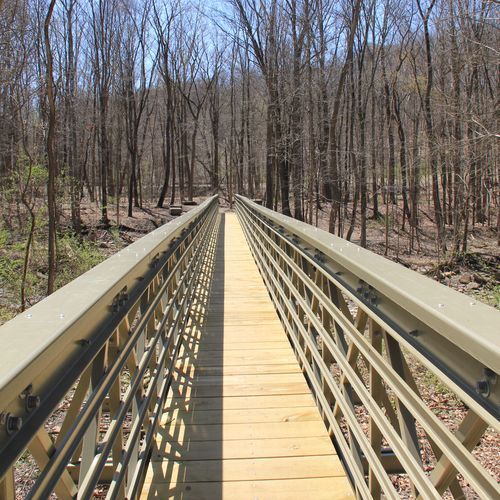
This trail winds through a forested creek valley, featuring two wooden bridges and offering views of diverse wildlife, including squirrels and songbirds. The trail begins near the historic Mater Dolorosa cemetery and ends in a field, providing a serene and natural experience.

Hemlock Creek Trail

Easy1.7 mi

This trail offers a scenic pathway through wooded areas, following Hemlock Creek and crossing over the Cuyahoga River. It features several bridges and passes through remnants of historic estates. The trail connects communities with the broader regional trail network, providing a beautiful and accessible route for both locals and visitors.

Lake Trail

Easy0.5 mi

This trail offers a peaceful loop around a picturesque lake, providing opportunities to observe local wildlife and enjoy the serene natural beauty of the area. The trail's flat terrain makes it accessible for a wide range of visitors.

Oak Hill Road

Oak Hill Road

Easy0.1 mi

Winds through a mature forest, showcasing a variety of tree species, including oak, hickory, and maple. The trail also passes through wetland areas, offering opportunities to spot local wildlife such as beavers, frogs, and numerous bird species. In spring, the forest floor is carpeted with a variety of wildflowers, adding a splash of color to the landscape. The trail's gentle terrain and diverse ecosystems make it a favorite among nature enthusiasts and photographers.

Oak Hill Trail

Oak Hill Trail

Moderate3 mi

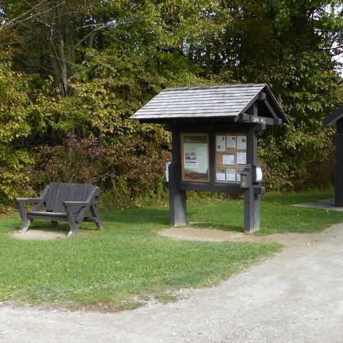
This trail winds through a forest rich in hemlocks, oaks, cherries, hawthorns, and maples. It offers scenic views, especially during autumn, and is a popular choice for hikers seeking a tranquil experience. The trail's proximity to picturesque ponds adds to its appeal, making it an ideal spot for nature lovers and photographers.

Pine Grove Trail

Easy2.1 mi

This trail winds through a forested area, offering views of sandstone outcroppings and scenic overlooks. It is part of a larger network of trails, providing a serene and natural experience with opportunities to observe local flora and fauna.

Plateau Trail

Moderate2.7 mi

This trail offers a scenic route through a diverse landscape, featuring natural beauty and varied terrain. The path is suitable for hikers looking for a leisurely stroll or a short, easy hike. The surrounding area provides opportunities for wildlife viewing and enjoying the local flora.

Rim Trail

Easy0.5 mi

Follow the rim of a natural amphitheater, offering breathtaking views of iconic formations like Thor’s Hammer and the Silent City. The trail connects several popular viewpoints, providing a scenic route with options to shorten the hike using the park's shuttle service.

Sagamore Creek Loop Trail

Easy0.5 mi

This trail winds through steep forested slopes, offering views of several small waterfalls and deep ravines. It intersects with other trails, providing a diverse hiking experience amidst nature's beauty.

Salt Run Trail

Moderate3.3 mi

This trail winds through wooded ravines, offering scenic views of mossy trees, evergreen groves, ferns, and wildflowers. Highlights include White Oak Spring and a variety of wildlife. The trail features rugged hills and several water crossings, making it a popular choice for hikers seeking a challenging yet rewarding experience.

Stanford Trail

Stanford Trail

Easy1 mi

This trail begins in a meadow and traverses a series of ridges before ending at the stunning Brandywine Falls. It offers a well-maintained path that is suitable for a variety of hikers, providing scenic views of the surrounding landscape.

Tree Farm Trail

Easy2.8 mi

Wander through a beautiful evergreen forest, formerly an evergreen tree farm, offering views of Horseshoe Pond and opportunities to spot wildlife like deer and rabbits. The trail is well-suited for families and nature enthusiasts, providing a serene and accessible hiking experience.

Adam Run / Spring Hollow Trail

Moderate3.6 mi

Follow the glacially formed terrain through oak, elm, and black walnut forests, offering views of spring wildflowers and diverse wildlife. The trail passes by open fields and meadows, home to various bird species and butterflies. A grove of white pine provides a shaded respite.

All Purpose Trail

Moderate3.5 mi

This trail offers a smooth, asphalt surface suitable for various activities. It winds through a forested area, providing a peaceful environment for walkers and bikers alike. The trail's easy grade makes it accessible to a wide range of visitors.

Bedford Reservation "All-Purpose Trail"

Difficult13.9 mi

Bridle Trail BR1

Easy0.6 mi

This trail offers a short, easy walk through a forested area with minimal elevation change, making it accessible for casual hikers. The trail's short length allows for a quick exploration of the surrounding flora.

Bridle Trail BR3

Easy0.4 mi

No description available

Daffodil Trail

Easy0.6 mi

This trail offers a serene walk through a landscape dotted with daffodils and other spring wildflowers. The unpaved path winds gently, providing an easy and enjoyable experience for hikers of all ages.

Deer Run Trail

Easy1.2 mi

No description available

Egbert Loop Trail

Easy0.1 mi

This trail offers a peaceful walk through a woodland area, providing opportunities to observe local wildlife and enjoy the natural beauty of the surroundings. The trail is part of the larger Bedford Reservation, which includes historic sites and scenic overlooks.

Hale Farm Connector

Easy0.8 mi

This trail offers a gentle journey through the picturesque surroundings of Hale Farm, connecting visitors with the rich history and natural beauty of the area. The trail's easy terrain makes it accessible for a variety of visitors, providing a serene experience amidst the rolling fields and woods.

Rock Creek Trail

Easy2.1 mi

No description available

Back Path

Easy0.3 mi

This short trail offers a peaceful walk through a natural setting, providing an opportunity to enjoy the surroundings without extensive hiking.

Bridle Trail BR2

Easy2 mi

na

Bridle Trail BR4

Easy1.6 mi

No description available

Clayton-Stanford Trail

Easy0.3 mi

No description available

Cross Country Trail

Easy2.3 mi

This trail offers a peaceful journey through a forested landscape, providing a serene and accessible experience for hikers. The terrain is generally flat, making it suitable for a variety of visitors. The trail's natural beauty and tranquility create a perfect setting for those seeking a relaxing outdoor adventure.

Deer Lick Cave Trail

Moderate3.2 mi

This trail offers a scenic hike through rolling hills, featuring Deer Lick Cave, a rock overhang where deer gather for salt, and a low-flow waterfall. The trail is set amidst beautiful wooded terrain, providing a tranquil escape into nature.

Distance Akron - Orange Route

Difficult11.6 mi

Eddie's Wildlife Pass

Moderate2.9 mi

This trail offers a chance to observe wildlife in their natural habitats. The varied landscape supports a range of flora and fauna, making it an ideal spot for nature enthusiasts. The trail's easy grade ensures accessibility for a broad range of visitors.

Friendship Trail

Easy0.3 mi

This trail winds through a mature pine and hardwood forest, featuring a fishing pond and interpretive signs. Visitors can enjoy the scenic views, picnic pavilions, and restrooms nearby. The trail is fully accessible and suitable for a short day hike.

Furnace Run Extension

Easy0.1 mi

No description available

Hemlock Loop Trail

Easy0.3 mi

This loop trail winds through a peaceful forest dominated by hemlock trees, offering a tranquil hiking experience. The trail's unpaved surface and gentle elevation changes make it suitable for casual hikers seeking a relaxing walk in nature.

Hemlock Ravine

Easy0.3 mi

This trail offers a peaceful walk through a forested area, featuring tall trees and a serene atmosphere. The trail is well-suited for those seeking a short, easy hike with opportunities to observe local wildlife.

Karl's Corner

Easy1.1 mi

No description available

Lower Boardwalk

Easy0.1 mi

This short boardwalk trail offers a leisurely stroll through a scenic area, providing an easy and accessible experience for visitors. The wooden surface makes it suitable for families and those looking for a gentle walk.

Moore Trails!

Easy0.3 mi

This trail offers a serene hike through natural landscapes, featuring an unpaved surface that allows hikers to connect with the environment. The trail's short length makes it accessible for a quick visit, offering a glimpse into the local flora and fauna.

No name

Difficult8.6 mi

Parallel Universe

Easy0.6 mi

This trail offers a gentle, unpaved path suitable for easy walking. It winds through a variety of landscapes, providing a peaceful and serene hiking experience.

Parkway Bridle Trail

Difficult8.7 mi

Quarry Trail

Easy0.9 mi

No description available

Salamander Loop Trail

Easy0.6 mi

This trail offers a peaceful journey through varied terrains, providing an engaging experience for hikers. The unpaved surface adds a natural touch, making it suitable for those seeking a relaxed outdoor adventure.

Touch Stone Loop

Easy1.5 mi

Tramway

Easy0.2 mi

This trail offers a brief but scenic hike, descending into a natural area with diverse landscapes. It provides a glimpse into the local flora and fauna, though specific features may vary based on the exact location.

Upper Boardwalk

Easy0.3 mi

This trail offers a short, easy stroll along a wooden boardwalk, allowing visitors to immerse themselves in a vibrant forest environment. The boardwalk's elevated path provides a unique perspective on the surrounding flora and fauna, making it an ideal choice for families or those seeking a leisurely walk.

Valley Bridle Trail

Extreme18 mi

This trail offers scenic views of forests and fields, passing by historic farm sites. It is part of a larger network that allows visitors to experience a variety of landscapes, including the Cuyahoga River and privately-owned farms.

Volunteer Spirit

Easy0.8 mi

This trail offers an easy, unpaved route suitable for casual hikers. However, specific details about its location and features are unavailable.

Wild Oaks Loop

Easy1.5 mi

This loop features substantial climbs and descents, offering scenic views across the George Washington National Forest. The trail includes portions constructed by the Civilian Conservation Corps and passes through the Ramsey’s Draft Wilderness, providing a mix of historical and natural attractions.

Wildlife Woods Trail

Easy0.4 mi

Wander through a tranquil forest, teeming with wildlife. The trail offers a peaceful escape, allowing hikers to connect with nature's beauty. The unpaved surface invites exploration of the natural surroundings.

Get offline trail maps and detailed hiking info in the Parka app

Download Parka — It's Free

Get offline trail maps for Cuyahoga Valley National Park

Free on the App Store

Get Parka

Why Park Lovers Choose Parka

Trip Planner

All the tools for epic adventures

Works Offline

Fully functional without cell service

Updated Weekly

Trail conditions, alerts, and closures

Try Risk-Free

7-day free trial, cancel anytime

Start Your 7-Day Free Trial

Unlock everything you need for your next national park trip. Your first week is on us!

National Park vista

Start your adventure today

Download Parka and plan your perfect national park trip in minutes.