
Cuyahoga Valley National Park, nestled between the urban areas of Cleveland and Akron, Ohio, offers a serene retreat into nature's embrace with the winding Cuyahoga River at its heart. The park stands out for its lush landscapes, rolling hills, and rich history, attracting millions of visitors each year seeking respite and adventure.
The park's most prominent feature is the Ohio and Erie Canal Towpath Trail, a historic route where mules once towed canal boats, now transformed into a scenic pathway for hiking and biking. This trail offers an immersive experience of the park's diverse ecosystems and historical sites. Diverse wildlife, including white-tailed deer, coyotes, and over 250 species of birds, make Cuyahoga Valley a haven for nature enthusiasts and bird watchers.
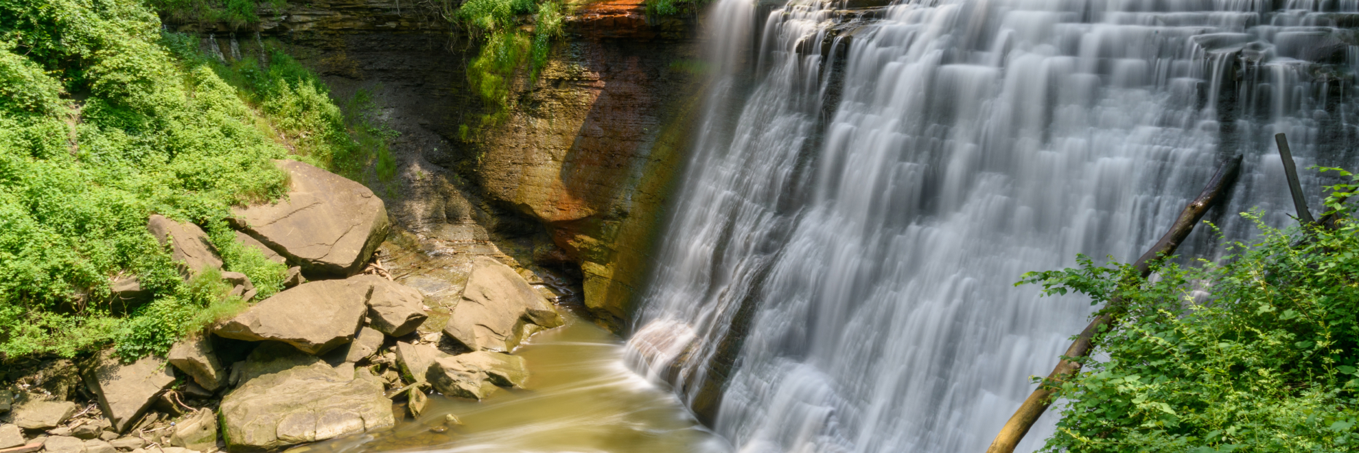
The park is also home to stunning waterfalls, the most famous being Brandywine Falls, which cascades dramatically over layers of sandstone and shale, creating a picturesque scene accessible through a series of viewing platforms and trails. Cuyahoga Valley is not just about natural beauty; it encapsulates significant cultural history, evidenced by the restored Ohio and Erie Canal Locks and the historic villages dotted throughout the park.
The Cuyahoga Valley Scenic Railroad offers a unique way to explore the park's expanse, providing a historical narrative along its route. Music and art lovers can enjoy concerts at the Blossom Music Center, an outdoor amphitheater that hosts a range of performances throughout the summer. Whether you're looking for a peaceful walk, a vigorous hike, or a dose of American history, Cuyahoga Valley National Park offers a delightful and unexpected natural sanctuary amid the urban surroundings of northeastern Ohio.
Cuyahoga Valley National Park
Ohio
Ohio
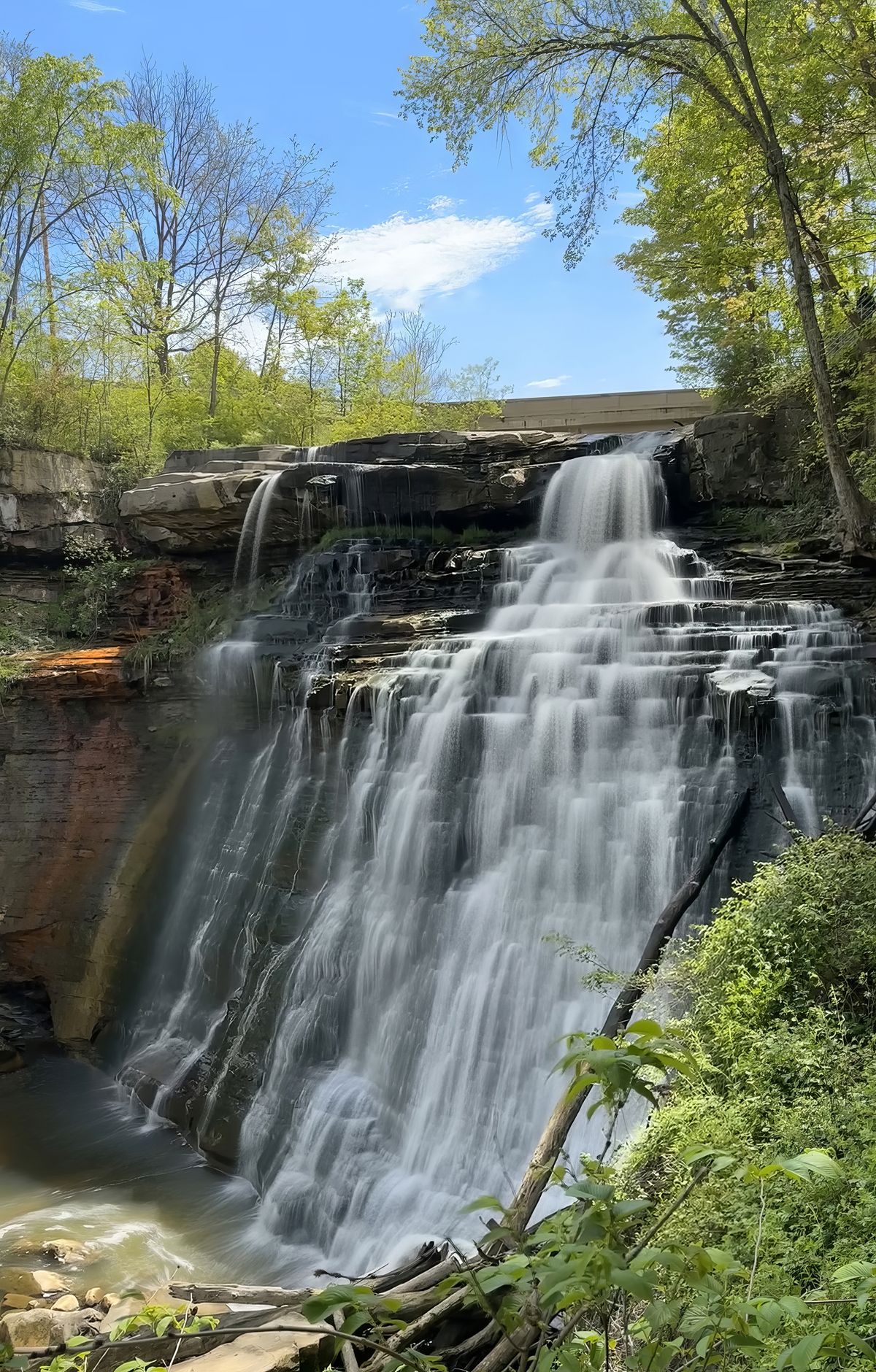
Cuyahoga Valley is a narrow urban green space of forests, wetlands and farmland between Cleveland and Akron, Ohio, where small towns and houses share the valley with the park. The Cuyahoga River runs through the heart of it, and its name means crooked river. Visitors can paddle the river, hike or bike a network of trails, or ride the Cuyahoga Valley Scenic Railroad through the valley. The Towpath Trail follows the historic route of the Ohio and Erie Canal. Waterfalls can be found throughout the park. The river was once so polluted that it caught fire, and that history helped inspire laws including the Clean Water Act. Today the river is much cleaner.
Popular Hiking Trails
All trails →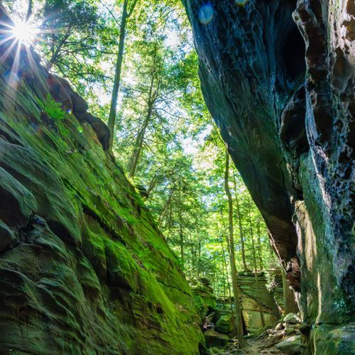
detour for OET Towpath
Easy1.4 mi
Cuyahoga Valley Trails - NPS
Extreme15.0 mi
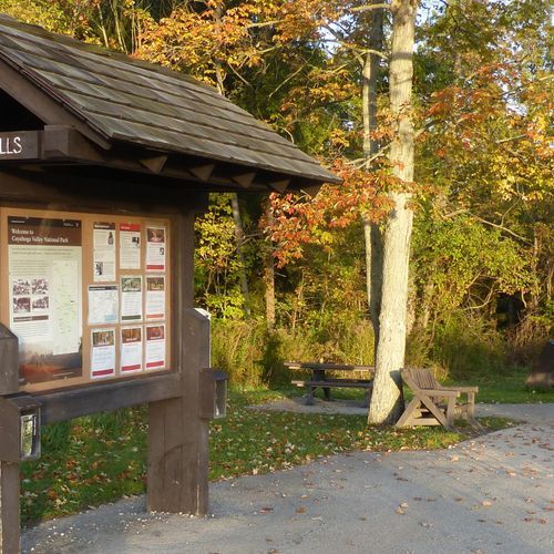
Brandywine Gorge Loop
Easy0.9 mi
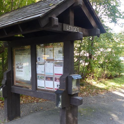
Ledges Trail
Easy1.6 mi
Bike and Hike Trail
Extreme33.0 mi
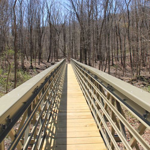
Buckeye Trail (Medina)
Extreme55.8 mi
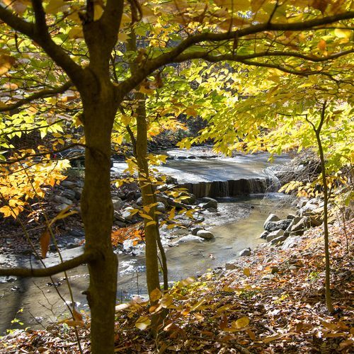
Buckeye Trail (Akron)
Extreme57.0 mi
Salt Run Trail
Moderate3.3 mi
Bedford Reservation
Extreme14.8 mi
Hemlock Creek Trail
Easy1.7 mi
Visitor Centers
Boston Mill Visitor Center
9:30AM - 5:00PM
Canal Exploration Center
Closed
Hunt House
Closed
About the Park
Park Areas
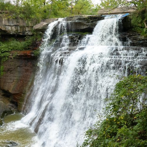
Brandywine Falls is a premier attraction, featuring a stunning 60-foot cascade accessible via a boardwalk with multiple viewing points. The falls are renowned for their unique rock formations shaped by erosion and are particularly popular among photographers, especially in autumn when the foliage is vibrant. Nearby trails offer additional exploration opportunities, making it a must-visit for those seeking varied landscapes.
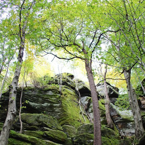
The Ledges Area is notable for its unique geological formations, including conglomerate cliffs and rock formations. Visitors can explore the Ice Box Cave and enjoy panoramic views from the overlook. The area features a network of trails, such as the Ledges Trail, which winds through dense forests. It is a favored spot for birdwatching and photography, with historical rock carvings and diverse plant life adding to its appeal.
The Towpath Trail follows the historic Ohio & Erie Canal, offering a scenic 20-mile route within the park. Ideal for hiking and biking, the trail's flat terrain is accessible for all skill levels. It features historical markers and scenic views, providing a unique perspective compared to other park areas.
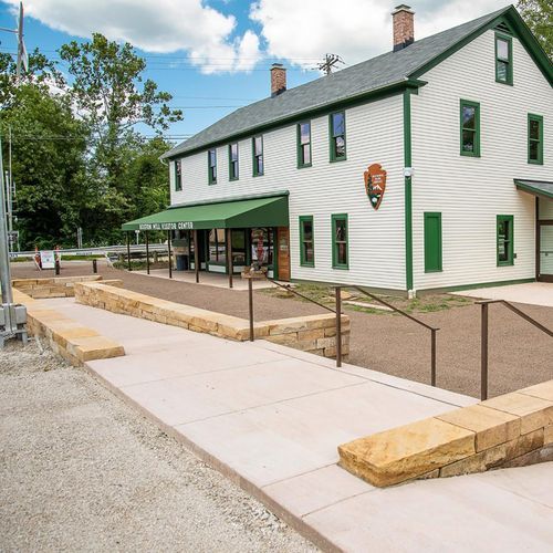
The Boston Mill Visitor Center is an essential gateway, offering comprehensive park information and interactive exhibits detailing the area's history and ecology. Strategically located near key trails and scenic routes, it serves as an ideal starting point for exploration, blending historical architecture with modern amenities.
The Virginia Kendall Area is renowned for its rock formations, including the Ritchie Ledges, and extensive hiking trails. The area is rich in history, with ties to Native American use and Civilian Conservation Corps projects, offering diverse landscapes and cultural insights.
Park Guides
All 12 guides →Fall Color and Frozen Falls: When to Visit
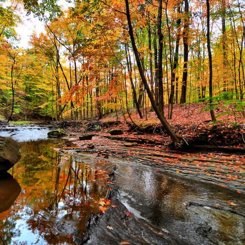
Fall color usually peaks from mid to late October, and the timing stays fairly consistent from year to year because it follows the shorter days of approaching winter.
Brandywine Falls and the Valley's Waterfall Gorges
Brandywine Falls drops 65 feet into a deep gorge and draws some of the largest crowds in the park.
Walking or Biking the Ohio & Erie Canal Towpath
The Towpath traces the old course of the Ohio & Erie Canal, cutting through the middle of the valley and keeping company with the Cuyahoga River over long stretches.
Riding the Cuyahoga Valley Scenic Railroad
The Cuyahoga Valley Scenic Railroad lets you see the park from a train car. Trains run between Rockside Station in the north and Akron in the south, with Rockside and Akron Northside serving as the main stations.
How Activists Created Ohio's Only National Park
By the 1960s, residents of the valley between Cleveland and Akron feared that urban sprawl would overwhelm its natural beauty.
