ParkaDownload
Bryce Canyon National Park

Trails in Bryce Canyon National Park

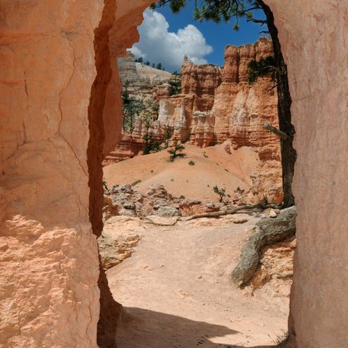
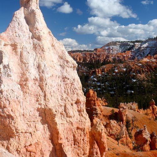
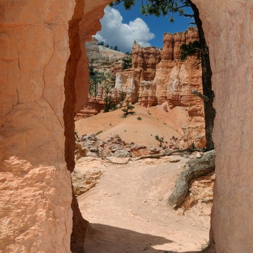
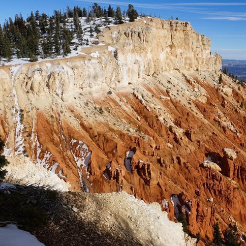
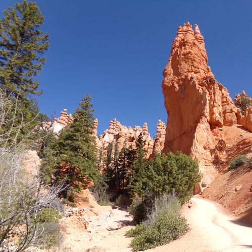
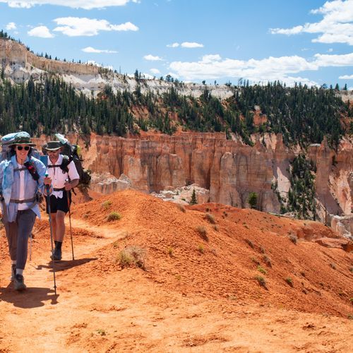
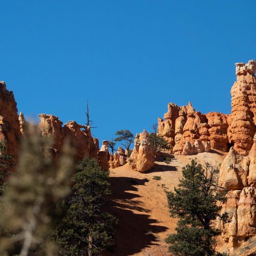
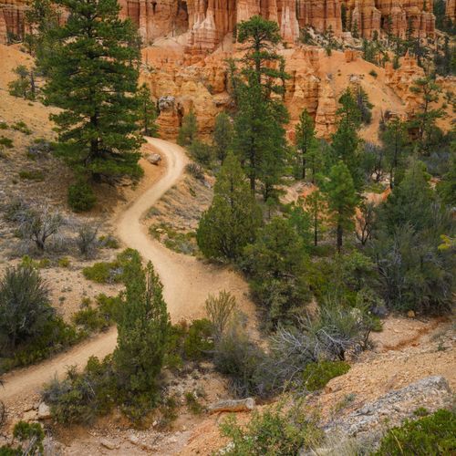
Bryce Canyon packs an impressive range of hiking into a relatively compact park, with trails that span from easy rim strolls to difficult all-day loops and one true extreme outing. The beauty of hiking here is that even short walks deliver a spectacular payoff. Easy options let you trace the amphitheater rim and gaze straight into a maze of orange, pink, and cream hoodoos, while moderate and strenuous routes descend into the formations for a far more immersive experience. This is a park where beginners can be thrilled in under an hour and stronger hikers can spend half a day winding through pinnacles, fins, forests, and high-desert viewpoints. For many visitors, the standout hikes are in the Bryce Amphitheater, where the park’s signature scenery is most concentrated. Queen’s Garden is a classic introduction, gentle by Bryce standards and rich with close-up hoodoo views. Navajo Loop is another essential, famous for its dramatic switchbacks and tight passageways, and the combination of Queen’s Garden and Navajo Loop is one of the best day hikes in the park. The Rim Trail remains the easiest way to sample Bryce’s grandeur from above, while Mossy Cave offers a shorter, lower-elevation detour with a different character. Hikers looking for more mileage and a bigger challenge should set their sights on Fairyland Loop or Peekaboo Loop, both of which deliver longer, less hurried encounters with the landscape. What makes hiking in Bryce Canyon special is the intimacy of the terrain. From the overlooks, the hoodoos are extraordinary; on the trails, they feel otherworldly. You are not just looking at the formations, you are moving through them, beneath towering walls and among spires shaped by erosion into fantastical forms. Add the park’s high elevation, crisp air, and constant shifts between open rim panoramas and sheltered canyon corridors, and Bryce becomes one of the most distinctive hiking destinations in the national park system.

Fairyland Loop Trail

Fairyland Loop Trail

Moderate7.5 mi

Descend into a valley surrounded by towering hoodoos and spires, then circle around the base of Boat Mesa. The trail offers stunning views of unique rock formations, including Tower Bridge and the China Wall. It provides a less crowded alternative to more popular trails in the area.
Mossy Cave Trail

Mossy Cave Trail

Easy0.9 mi

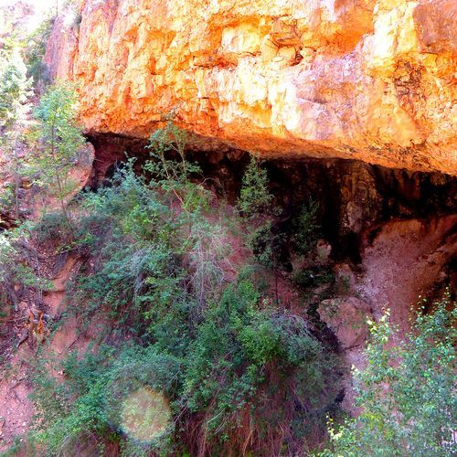
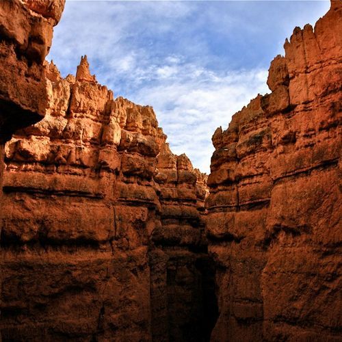
Follow a stream through a canyon carved by diverted water from the Sevier River. The path leads to a sheltered grotto, where moss thrives in warmer months and icicles form in winter. Nearby, a small waterfall, created by early settlers, adds to the scenic charm. The trail offers views of colorful rock formations and is a popular, family-friendly outing amidst the park's distinctive hoodoos.

Navajo Loop Trail

Navajo Loop Trail

Moderate1.3 mi

This iconic trail descends from the rim into a stunning amphitheater, passing through the narrow Wall Street and offering breathtaking views of towering hoodoos, including Thor's Hammer. The trail's unique landscape features a mix of colorful limestone formations and Douglas-fir trees.

Peekaboo Loop Connector

Peekaboo Loop Connector

Easy5.1 mi

This short trail offers a scenic route through the landscape, though it does not match the well-known trails in the area. It provides a glimpse into the natural beauty of the surroundings.

Queen's Garden and Navajo Loop

Queen's Garden and Navajo Loop

Easy1.3 mi

Descend into a stunning amphitheater filled with uniquely shaped hoodoos, including the famous Queen Victoria and Thor's Hammer formations. The trail offers breathtaking views of the surrounding landscape and is a highlight of the park's geological wonders.

Rim Trail

Rim Trail

Moderate5.4 mi

Follow the rim of a natural amphitheater, offering breathtaking views of multicolored hoodoos, massive fins, and eroded ridges. Iconic formations like Thor’s Hammer, the Silent City, and the Wall of Windows are visible along the way. The trail passes through ponderosa and aspen groves, providing a scenic backdrop to the dramatic vistas below. It connects several viewpoints, including Inspiration, Sunset, and Sunrise Points, allowing hikers to experience the park's unique landscape from multiple perspectives.

Bristlecone Loop Trail

Bristlecone Loop Trail

Easy0.8 mi

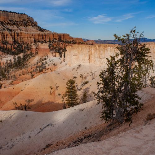
This trail meanders through a forest atop the highest portion of the park, offering views into the surrounding canyons and featuring ancient bristlecone pines, some over 1,800 years old. The trail is surrounded by Blue Spruce, Douglas Fir, and White Fir, providing habitat for various wildlife.

Bryce Canyon Multi-Use Path

Bryce Canyon Multi-Use Path

Moderate5.1 mi

The path weaves through a forest of ponderosa pine trees, providing a scenic route with numerous curves and turns. It offers stunning views of the park's iconic hoodoos and other geological formations, particularly at viewpoints like Sunset Point and Inspiration Point. The trail is accessible to various users, including cyclists, walkers, and wheelchair users, and features bike racks at each viewpoint. The return journey is a fun downhill ride, making it a popular choice for outdoor enthusiasts.

Horse Trail Route

Difficult7.2 mi

Pass by iconic formations like the ET Hoodoo, surrounded by the natural beauty of Utah's wilderness. The trail offers a peaceful loop experience, starting from a scenic viewpoint and meandering through less crowded paths. It provides an opportunity to enjoy the solitude and unique landscapes of the area, suitable for both hikers and horseback riders.

Riggs Spring Loop

Difficult8.4 mi

Starting from the highest point in the area, this loop descends through a forest of rugged fir, spruce, and bristlecone pine, offering occasional glimpses of distant canyons. The trail passes through Corral Hollow and Riggs Spring, providing secluded campsites amidst ponderosa pines. The return ascent offers views of the Pink Cliffs before reaching the forested plateau once more. Wildlife encounters are common due to its remote nature.

Riggs Spring Loop Trail

Riggs Spring Loop Trail

Moderate2.5 mi

This trail descends through a forest of spruce, fir, and bristlecone pine, offering stunning views of hoodoos. It passes through Corral Hollow and Riggs Spring before ascending back to the plateau via Yovimpa Pass. The trail is less crowded, making it ideal for those seeking solitude and wildlife encounters.

Swamp Canyon Loop

Swamp Canyon Loop

Difficult4.4 mi

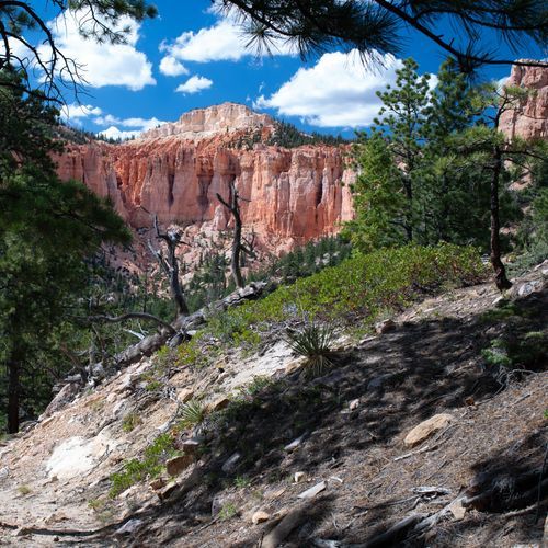
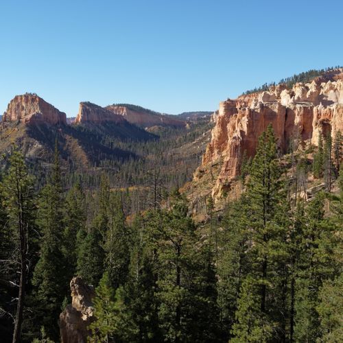
Descend into a canyon surrounded by vibrant red and pink cliffs, offering sporadic views of the expansive landscape below. The trail winds through a partially burnt forest section, featuring stunning hoodoos and diverse wildlife habitats. It connects to the Under-the-Rim Trail, providing a glimpse into the park's remote wilderness. The loop ascends back up through sparse forests, offering panoramic views of the colorful hills in the distance.

Tower Bridge Trail

Tower Bridge Trail

Easy0.1 mi

Descend into a canyon filled with iconic hoodoos, passing through a mix of forested areas and open spaces. The journey culminates at a striking rock formation that bears a resemblance to a medieval bridge tower. This natural wonder is set against a backdrop of vibrant reds, oranges, and whites, contrasting with the green of surrounding pines and firs. The scenic route offers breathtaking views of unique rock formations, including the Chinese Wall and Crescent Castles.

Under-the-Rim Trail

Under-the-Rim Trail

Extreme22.2 mi

This challenging trail traverses through diverse landscapes, including rock spires, forests, and meadows. It offers solitude amidst iconic scenery, with several campsites for overnight stays. The trail features stunning views of the canyon and surrounding natural beauty, making it a must for backcountry enthusiasts.

Whiteman Connecting Trail

Whiteman Connecting Trail

Easy1 mi

Nestled in a picturesque landscape, the trail offers breathtaking vistas of unique rock formations and towering hoodoos. It provides access to diverse hiking routes, allowing visitors to immerse themselves in the beauty of Utah's wilderness. The area is rich in wildlife, with frequent sightings of deer and various bird species. The trail connects to the Under-the-Rim Trail, offering panoramic views of the Paria Valley and Swamp Canyon. With its serene atmosphere and stunning photo opportunities, it's an ideal destination for nature enthusiasts and photographers.

Yovimpa Point Overlook

Yovimpa Point Overlook

Easy0.2 mi

Enjoy panoramic views of the Grand Staircase, including the Pink Cliffs, Grey Cliffs, and White Cliffs. This overlook offers stunning vistas extending over 100 miles, with Navajo Mountain visible on clear days. The area is well-equipped with amenities, making it accessible for all visitors.

Tropic Trail

Tropic Trail

Easy1.2 mi

This trail offers a serene hike through natural landscapes, providing scenic views of the surrounding terrain. It is suitable for families and beginners due to its gentle slope and easy terrain.

Hotel Access Trail

Easy0.3 mi

Lodge Access Trail

Easy0.1 mi

This short trail provides easy access to a lodge, offering a gentle walk through a natural setting. The trail's short length and minimal elevation change make it accessible for most visitors, providing a peaceful introduction to the surrounding landscape.

Get offline trail maps and detailed hiking info in the Parka app

Download Parka — It's Free

Get offline trail maps for Bryce Canyon National Park

Free on the App Store

Get Parka

Why Park Lovers Choose Parka

Trip Planner

All the tools for epic adventures

Works Offline

Fully functional without cell service

Updated Weekly

Trail conditions, alerts, and closures

Try Risk-Free

7-day free trial, cancel anytime

Start Your 7-Day Free Trial

Unlock everything you need for your next national park trip. Your first week is on us!

National Park vista

Start your adventure today

Download Parka and plan your perfect national park trip in minutes.