
Bryce Canyon National Park, located in southern Utah, is famed for its unique geological structures known as hoodoos. Hoodoos are formed through a combination of frost weathering and stream erosion. Over millions of years, the freeze-thaw cycles cause cracks in the sedimentary rock, which are then widened by water erosion, gradually sculpting the spire-like structures.
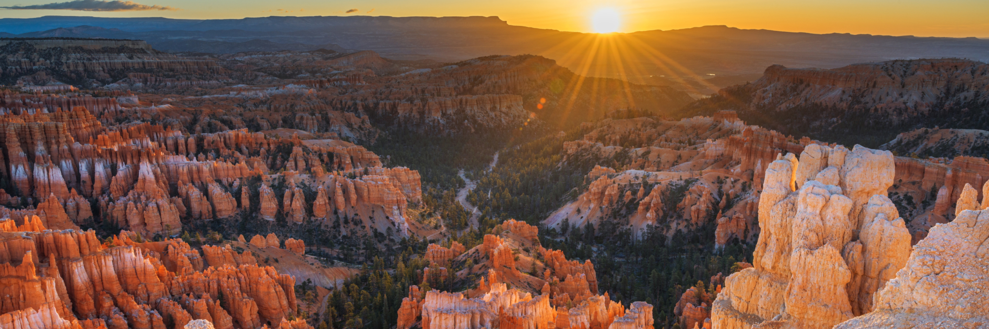
Unlike other canyons carved from a central river, Bryce Canyon is a series of natural amphitheaters sunk into the edge of a plateau. The largest of these is the Bryce Amphitheater, which is filled with the park's most iconic structures. The vibrant colors of the rocks, ranging from reds and oranges to pinks, are most striking at sunrise and sunset when the light casts intricate shadows and illuminates the formations.
Bryce Canyon is not only a spectacle of geological wonder but also a sanctuary for diverse wildlife. The park is home to over 100 species of birds, dozens of mammals, and more than a thousand plant species, including the high-elevation Bristlecone Pine, one of the oldest living organisms in the world. Historically, the area was inhabited by Native American groups including the Paiute, who have cultural ties to the land that are expressed through their legends and historical uses of the park's resources.
Visitors can enjoy a scenic drive through the park along the 18-mile main road, which has over a dozen overlooks to view the amphitheaters from different perspectives. And the park's clean air and high elevation combine to provide an unforgettable night sky experience.
In Bryce Canyon, every visit is an immersion into a landscape that blurs the line between reality and fantasy, inviting all who come to wander and wonder.
Bryce Canyon National Park
Utah
Utah
Bryce Canyon holds the largest concentration of hoodoos on the planet, tall columns of rock shaped by frost and running water. The park's natural amphitheaters were hollowed from the rim of an elevated plateau, and the most celebrated is Bryce Amphitheater, crowded with eroded spires. Bryce Point, Inspiration Point, Sunset Point and Sunrise Point are the four principal viewpoints, and they sit close to the entrance. The Rim Trail strings together lookouts along the edge, while hiking trails descend below the rim into the hoodoos. A scenic drive on the Main Park Road follows the plateau edge, with additional overlooks along the way. The high setting gives the park dark skies that suit stargazing.
Park Areas
All areas →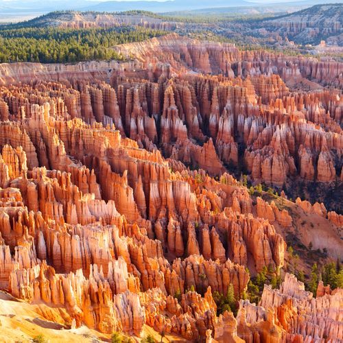
Bryce Amphitheater
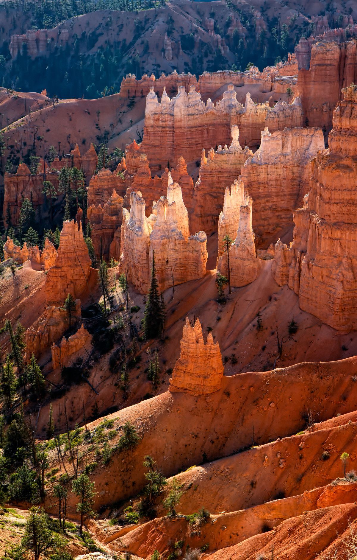
This area holds the greatest concentration of hoodoos found anywhere on Earth, irregular rock spires that give the landscape its distinctive character. Most of the park's day hikes begin here, letting walkers move among the formations rather than only look down on them. Sunrise Point, the northernmost viewpoint, is equally striking at dawn and at day's end. Sunset Point overlooks some of the best-known hoodoos, and Inspiration Point offers a bird's-eye view of the collection. Bryce Point, perhaps the most iconic of the four main viewpoints, looks out over the park's most popular area. The Rim Trail links the overlooks along the cliff edge. The Queens Garden trail offers the easiest route down into the canyon, while the Navajo Loop passes formations such as Thor's Hammer and Wall Street.
Rainbow Point
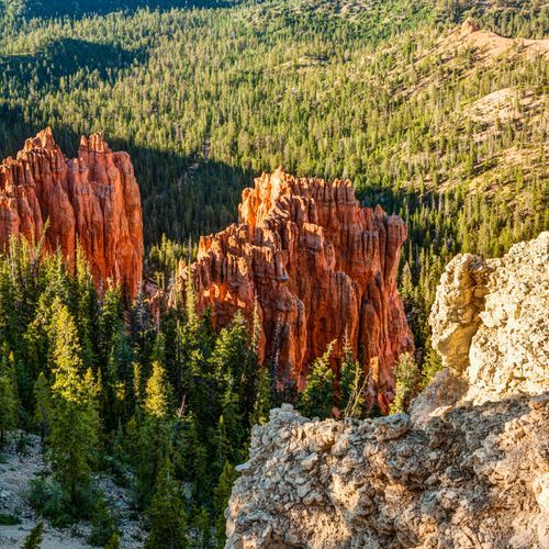
At 9,115 feet, this is the highest viewpoint in the park, and the main park road ends here. Tectonic uplift raised this landscape from sea level over the last 20 million years, and tributaries of the Colorado River later cut it into rock spires and forested views. Yovimpa Point, also among the highest viewpoints, lies nearby. The Southern Scenic Drive covers the final stretch of the main road to reach here. A parking lot serves the viewpoint, and the one-mile Bristlecone Loop is also here, with a hard surface, though some grades fall short of accessibility standards. Most of the park sits at 8,000 feet or higher, so take hikes at an easy pace. UV radiation is stronger at this elevation, and storms can build quickly, so seek shelter if thunder sounds.
Fairyland Point
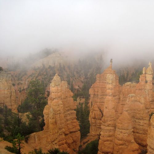
The northernmost overlook along the rim of the Paunsagunt Plateau is usually quiet, so it suits anyone who wants wide views without the crowds. Below, the Sinking Ship rests among hoodoos that fill Fairyland Canyon. These spires are younger than those farther south and still forming, so they look less dramatic but carry a peaceful character of their own. Deer, ponderosa pines and wildflowers show up nearby, and sunrise light draws photographers. Two trails start here. The Rim Trail follows the plateau edge, while the Fairyland Loop, an eight-mile hike, mixes rim walking near Boat Mesa with a descent into the canyon. Along the loop you pass the China Wall, Tower Bridge and tall hoodoos, making it a strenuous day hike with long views.
Mossy Cave
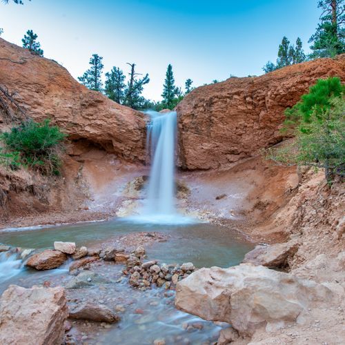
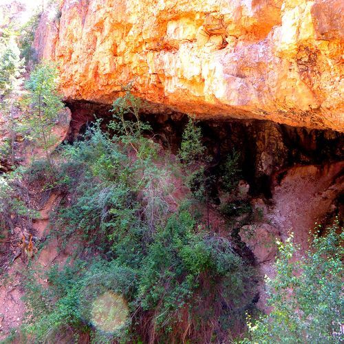
At the end of this easy hike, water seeps from the rock and drips beneath a mossy overhang known as Mossy Cave. The Mossy Cave Trail covers 0.8 miles and sits at one of the lower elevations in the park. It starts with an uphill stretch before finishing with a descent, a pattern few other trails here follow. From the trailhead, the route forks: one branch enters Water Canyon, where visitors can wade and play in the water, entering and leaving at bridge crossings to reduce impact, while the other continues to the overhang. A short detour leads to viewpoints of Tropic Ditch Falls. That flowing water comes through an irrigation ditch pioneers built in 1892, which still supplies nearby communities. Mosses cover the alcove in summer, and icicles hang there in winter.
Paria View
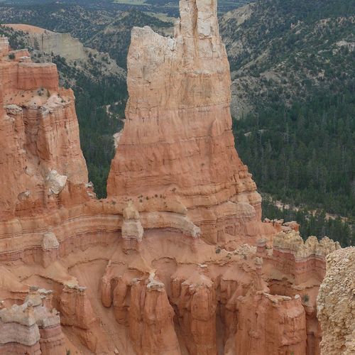
Paria View is a quieter perch than the busier rim stops, and it looks down into an amphitheater more than 500 feet deep where Yellow Creek begins its run toward the Paria River. Red rock cliffs tower over a stretch of forest and the wide river valley below. The overlook suits scenic viewing and photography, and its calm atmosphere gives visitors time for a slower look at the rock formations and the trees. Reaching the rim takes only a short, paved walk from the parking lot. The turnoff sits at mile marker 2.75 along the road, and Bryce Point is located very close by for anyone who wants to continue along the rim.
Popular Hiking Trails
All trails →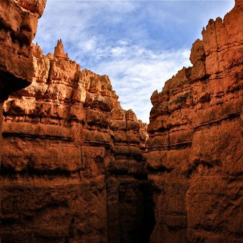
Navajo Loop Trail
Moderate1.3 mi
Mossy Cave Trail
Easy0.9 mi
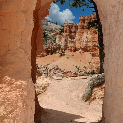
Peekaboo Loop Connector
Easy5.1 mi
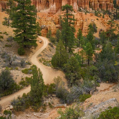
Fairyland Loop Trail
Moderate7.5 mi
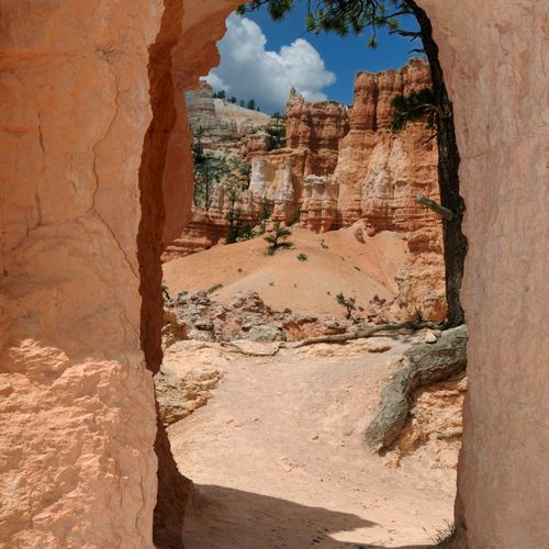
Rim Trail
Moderate5.4 mi
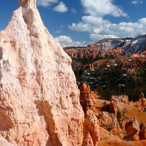
Queen's Garden and Navajo Loop
Easy2.8 mi
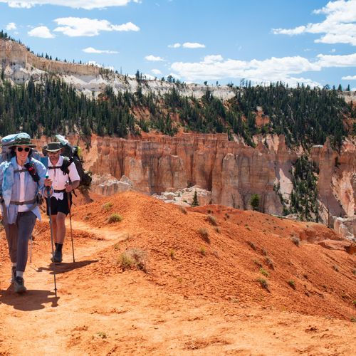
Under-the-Rim Trail
Extreme22.2 mi
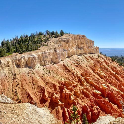
Riggs Spring Loop
Difficult8.5 mi
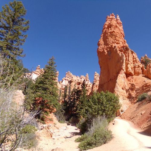
Bryce Canyon Multi-Use Path
Moderate5.1 mi
Horse Trail Route
Difficult7.2 mi
Visitor Centers
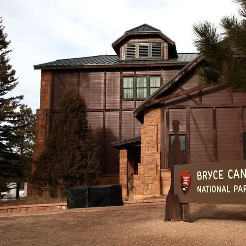
Bryce Canyon Visitor Center
8:00AM - 8:00PM
Campgrounds
Camping guide →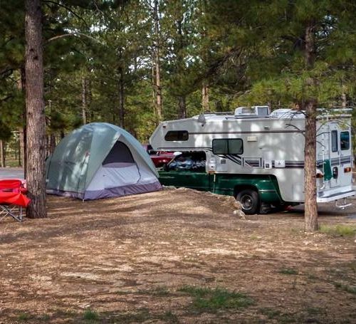
North Campground
Fairyland Point
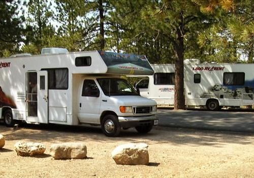
Sunset Campground
Bryce Amphitheater
About the Park
Park Areas
Bryce Amphitheater is the park's most iconic area, renowned for its dense concentration of hoodoos, spires, and rock formations. It offers some of the park's most breathtaking views, accessible from key points like Sunrise and Sunset Points, Inspiration Point, and Bryce Point. These locations are ideal for capturing the changing light throughout the day. The amphitheater supports a variety of hiking trails suitable for both casual walkers and avid hikers.
The Southern Scenic Drive provides a unique perspective with its lesser-crowded viewpoints along an 18-mile route that ends at Rainbow Point. This drive offers sweeping views of the park's southern expanse, with stops like Black Birch Canyon and Yovimpa Point showcasing diverse geological formations. The higher elevation often results in cooler temperatures, offering a contrasting experience to the vibrant hoodoos of the main amphitheater.
Fairyland Point offers panoramic views of hoodoo formations and serves as a quieter alternative to more popular viewpoints. It marks the start of the Fairyland Loop Trail, which takes hikers through varied landscapes. The area is accessible by car and is particularly noted for its early morning light, making it ideal for photography.
Mossy Cave provides a unique glimpse of water features in the park's arid landscape. The short trail leads to a small waterfall and a mossy grotto, offering an intimate exploration of natural erosion processes and geology.
Paria View offers unobstructed views of the canyon's formations, particularly at sunrise. It is a quieter spot compared to the Bryce Amphitheater, favored by photographers for its clear views at dawn and the interplay of shadow and light on the hoodoos.
Park Guides
All 11 guides →One Road, One Entrance: Shuttle and Parking
Bryce Canyon has a single 18-mile main road running north to south. Its one entrance and exit means every car and shuttle bus passes the same gate.
Freezing Nights from October to May at Bryce
From October to May, temperatures at Bryce Canyon drop below freezing nearly every night. The park's high elevation, around 8,000 feet, shapes these conditions through the cooler months.
Earth's Largest Concentration of Hoodoos
Hoodoos are odd, upright pillars of rock, and this park holds more of them than any other place on Earth.
Bryce Amphitheater's Four Rim Viewpoints
Bryce Amphitheater holds the greatest concentration of hoodoos, the irregular rock spires that erosion sculpted out of the Paunsaugunt Plateau.
Queen's Garden, Navajo Loop and Peekaboo
Queen's Garden Trail is the gentlest of the routes that drop from the rim into the Bryce Amphitheater.
