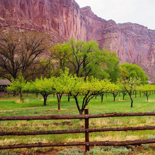
Capitol Reef is easiest to understand in three broad regions, each offering a different way into the park’s long, wrinkled landscape of the Waterpocket Fold. Most visitors begin in the Fruita area, the park’s accessible heart along Highway 24. This is where Capitol Reef feels most welcoming and most varied at once: historic orchards and pioneer-era sites sit beneath sheer red cliffs, short scenic walks lead to bridges, canyons, and overlooks, and the main scenic drive branches into some of the park’s classic frontcountry terrain. If you have limited time, this is the area to prioritize. It delivers the signature Capitol Reef experience with the least effort and makes the strongest introduction to the park’s mix of geology, history, and desert beauty.
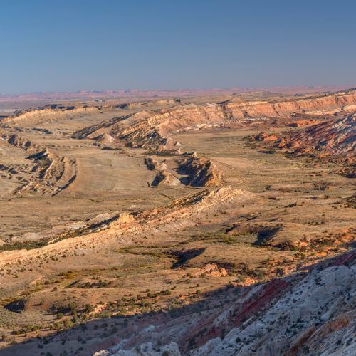
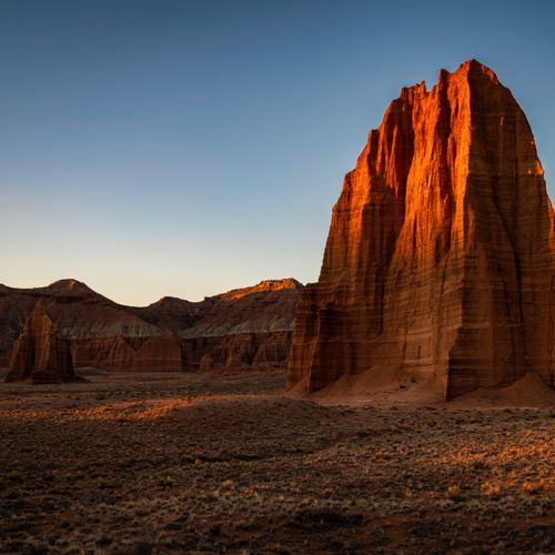
Beyond Fruita, the park becomes more remote and more adventurous. Cathedral Valley, in the northern district, is the place for big skies, lonely desert roads, and some of the most dramatic monoliths in Utah. This is not a casual add-on but a destination for travelers who want a full-day backcountry drive and the feeling of genuine isolation. To the south, the Waterpocket District unfolds along the fold itself in a wilder landscape of slickrock, pockets, canyons, and long backcountry routes, often explored via the Notom-Bullfrog Road and connected drives sometimes called Loop the Fold. This is the side of Capitol Reef for visitors who want to go deeper: more mileage, fewer people, rougher roads, and a stronger sense of the park’s true scale. The best way to explore Capitol Reef is to match your ambitions to these regions—Fruita for the essential first visit, Cathedral Valley for remote grandeur, and the Waterpocket District for backcountry immersion.