
Capitol Reef National Park stands out as a hidden treasure within Utah's canyon country, offering a striking landscape of colorful cliffs, hidden arches, massive domes, and deep canyons. This park is defined by the Waterpocket Fold, a unique geological formation that extends nearly 100 miles. It was formed about 65 million years ago when a fault in the Earth's crust shifted, creating layers of rock that tell a story stretching back over 200 million years.
The park's name derives from the white domes of Navajo Sandstone that resemble capitol building domes, and the rocky ridges that were referred to as reefs by early settlers. Along with its captivating geological features, Capitol Reef is rich in history. It was once home to the Fremont Culture, Indigenous peoples who lived in the area from approximately 300 to 1300 CE. Today, visitors can explore the Fremont petroglyphs carved into rock faces that illustrate people, animals, and other symbols.
Capitol Reef is also known for its extensive orchards, planted by Mormon pioneers in the 1880s, which are maintained by the National Park Service today. You can even pick fresh fruit directly from the trees during harvest seasons!
While lesser-known than its neighboring Utah parks, Capitol Reef offers tranquility and extensive scenic routes like the Scenic Drive, which provides access to notable areas such as the Fruita Historic District, Hickman Bridge, and Capitol Gorge. The park's landscape supports a diverse ecosystem, including mule deer, mountain lions, and over 200 species of birds.
With its remarkable geological formations, rich human history, and serene, less crowded trails, Capitol Reef National Park is a place that deeply connects its visitors to the natural world and the ancient human past.
Capitol Reef National Park
Utah
Utah
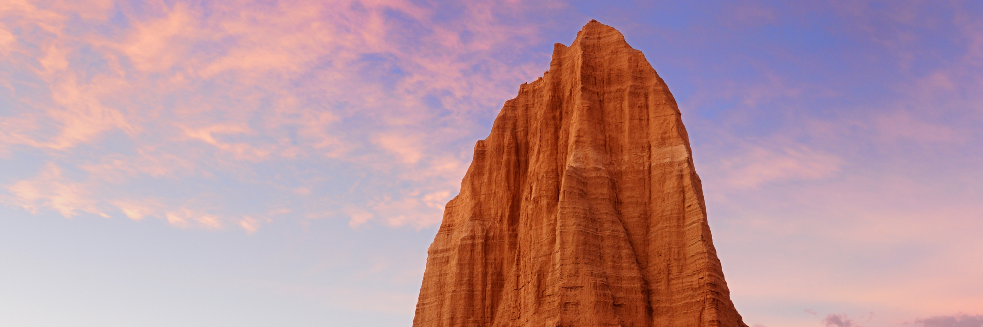
The Waterpocket Fold, a monocline stretching almost 100 miles across south-central Utah, gives Capitol Reef National Park its mix of cliffs, canyons, domes, and bridges. The white Navajo Sandstone domes look like the nation's Capitol, and that resemblance supplied the park's name. To early travelers, the fold's ridges looked impassable, somewhat like reefs in the sea. Visitors can drive the Capitol Reef Scenic Drive and visit Panorama and Sunset Points. Fruita is another area to explore, and hikers can try Hickman Bridge or longer backcountry routes. Cathedral Valley, reached by a remote drive, offers a different side of the park. Canyoneering and rock climbing are also options.
Park Areas
All areas →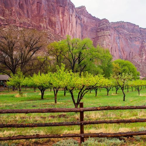
Fruita Historic District
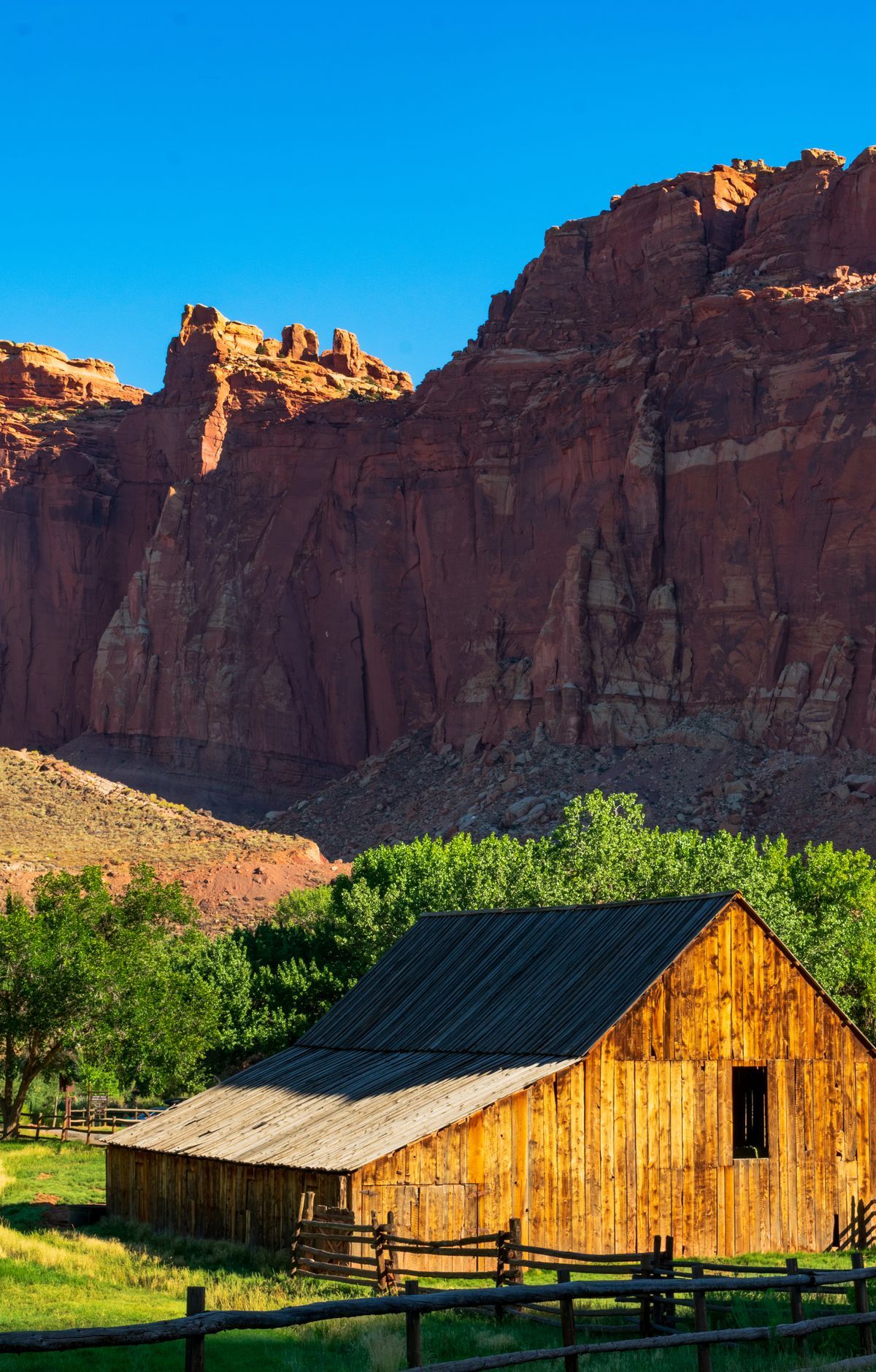
Fruita sits at the center of this park, and its story begins with pioneers. Mormon settlers arrived in the late 1800s, planted orchards along the Fremont River, and grew sorghum for molasses and syrup. Today the Fruita Orchards hold around 2,000 trees, and in season visitors can pick fruit themselves. The one-room Fruita Schoolhouse and the Gifford House and its barn still stand, and the Gifford House Store is known for its fruit pies. Images left by the Fremont Culture about 1000 years ago decorate the Petroglyph Panel. The 71-site Fruita Campground is the park's only developed campground. Fifteen day trails start from the Scenic Drive and Utah Highway 24, ranging from flat walks to steep climbs like Cohab Canyon.
Cathedral Valley
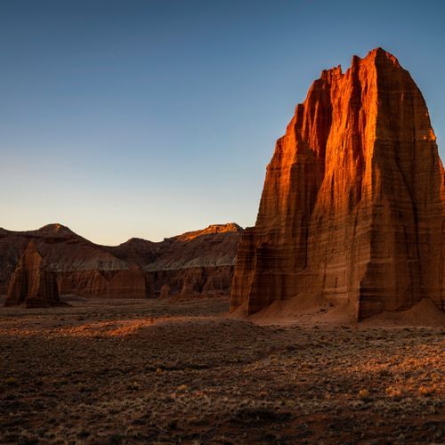
Towers of buff-pink Entrada Sandstone rise from the valley floor in this northern district, shaped by erosion into ribbed walls, recesses and spires that early visitors compared to Gothic cathedrals. The Cathedral Valley Loop is a gravel-road drive that requires a high-clearance vehicle, and most visitors travel it clockwise. Along the way, the Temples of the Sun and Moon stand as isolated monoliths, usually seen from below. Shorter walks include the Cathedrals Trail, which follows a low ridge beside a line of monoliths, and the Upper Cathedral Valley Overlook, a short 0.2-mile round-trip trail to a broad view. The Jailhouse Rock and Temple Rock Route, a 4.5-mile round trip, reaches a view of Temple Rock. Cathedral Valley Campground has six primitive sites, and the valley draws night sky photographers under the Milky Way.
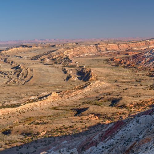
Waterpocket Fold
The Waterpocket Fold is a 100-mile long wrinkle in the Earth's crust called a monocline, where layers on the west side were lifted 7,000 feet higher than those on the east. Water has been eroding the sedimentary layers for ages, revealing fossils, domes, arches and canyons. The white Navajo Sandstone domes gave the park its name. Loop the Fold is a remote scenic drive that circles part of the fold, following Notom-Bullfrog Road south and climbing the Burr Trail switchbacks to Strike Valley Overlook. Short slot canyon hikes, including Surprise Canyon and Headquarters Canyon, lie along the route. Overnight backpacking routes run through Muley Twist Canyons and Halls Creek Narrows, but these routes are unofficial and navigation skills matter.
Popular Hiking Trails
All trails →Sulphur Creek Top-Down Route
Moderate5.9 mi
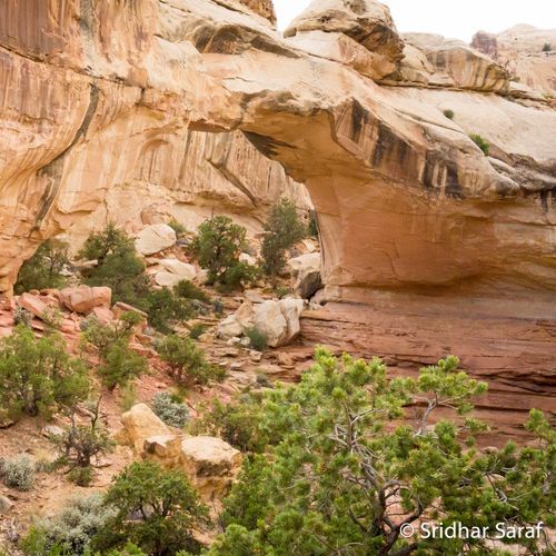
Hickman Bridge Trail
Moderate1.7 mi
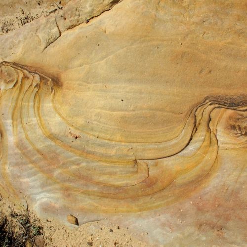
Rim Overlook Trail
Moderate4.3 mi
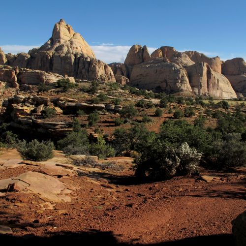
Cohab Canyon Trail
Moderate3.3 mi
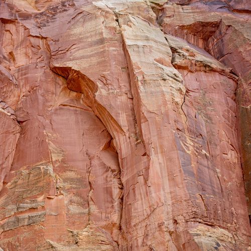
Capitol Gorge
Moderate4.7 mi
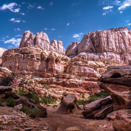
Grand Wash Trail
Easy4.8 mi
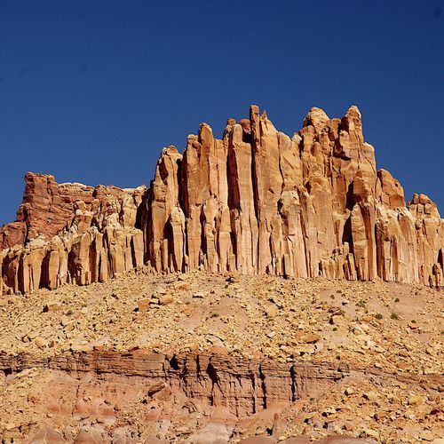
Sulphur Creek Waterfall Trail
Easy1.5 mi
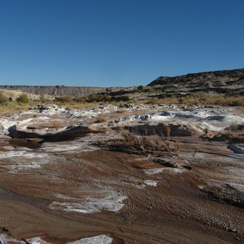
Lower Cathedral Valley Overlook Route
Easy1.7 mi
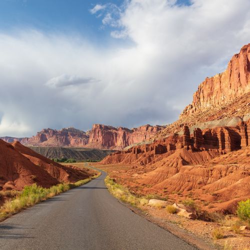
Cassidy Arch Trail
Easy3.0 mi
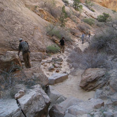
Headquaraters Canyon Route
Easy1.3 mi
Visitor Centers
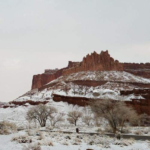
Capitol Reef National Park Visitor Center
8:00AM - 4:30PM
Campgrounds
Camping guide →Backcountry Camping
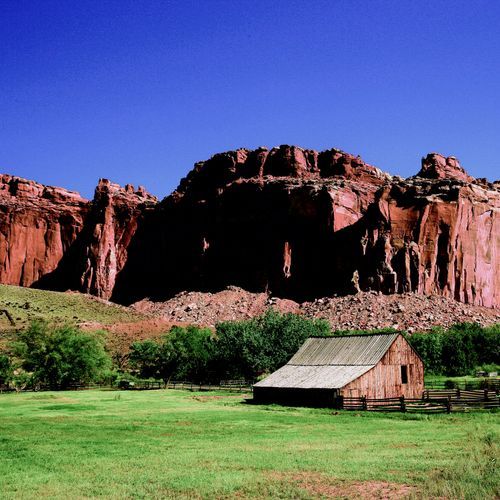
Fruita Campground
Fruita Historic District
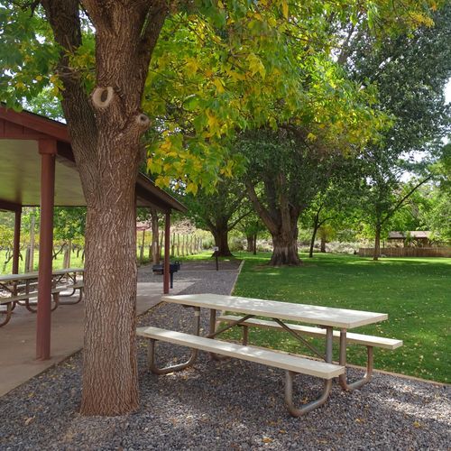
Group Campsite
Fruita Historic District
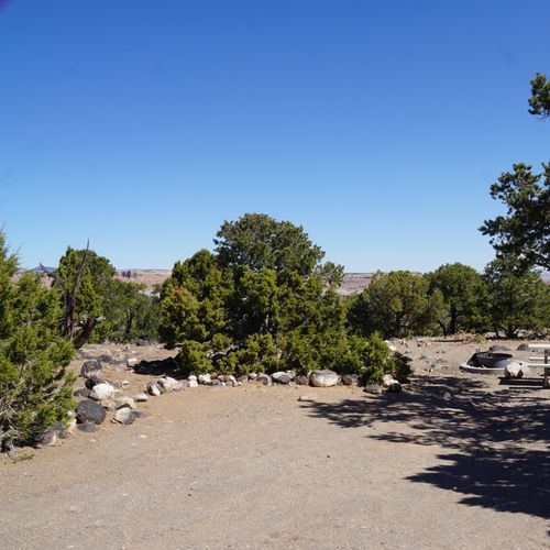
Primitive campsites at Cathedral Campground
Cathedral Valley
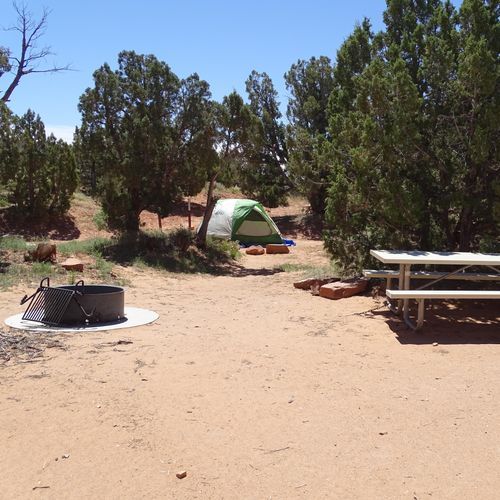
Primitive campsites at Cedar Mesa Campground
Waterpocket Fold
About the Park
Park Areas
The Waterpocket Fold is a remarkable geological monocline stretching nearly 100 miles, showcasing layered rock formations that reveal millions of years of Earth's history. This area offers a rugged, less-trafficked experience, ideal for those seeking solitude. It is notable for its diverse erosion patterns, making it a living classroom for geologists and a serene escape for hikers and photographers.
Cathedral Valley presents a unique landscape of towering monoliths and expansive desert vistas, providing a sense of solitude and raw beauty. Iconic features such as the Temple of the Sun and Temple of the Moon stand as isolated stone sentinels. Due to its remote location, careful preparation is necessary, with high-clearance vehicles recommended and sometimes four-wheel drive required, especially after rain or snow. The area rewards visitors with breathtaking geological formations.
The Fruita Historic District offers a glimpse into pioneer life with preserved orchards and historic structures. Visitors can explore the Fruita Schoolhouse and Gifford Homestead, gaining insight into early settler experiences. The district's unique agricultural history contrasts with the park's rugged landscapes, providing a distinct area for exploration. Seasonal fruit picking allows visitors to engage directly with the district's heritage, setting it apart from other regions in the park.
Park Guides
All 12 guides →Spring and Fall Hiking Weather and Road Conditions
Spring and fall are the most comfortable seasons for hiking and backpacking at Capitol Reef.
The Waterpocket Fold: A 100-Mile Wrinkle
The Waterpocket Fold is a monocline, a long bend in the rock layers that runs about 100 miles through south-central Utah, and Capitol Reef National Park protects much of it.
Hickman Bridge, Cassidy Arch and Beyond
Hickman Bridge is the shorter of the two popular hikes. The round trip covers 1.8 miles and gains about 400 feet, and most people should allow two to three hours.
The 24-Mile Capitol Reef Scenic Drive
The Capitol Reef Scenic Drive is a 7.9-mile paved road that suits passenger vehicles, and it forms the core of the park along with Highway 24.
Gold Tier Dark Skies and Heritage Starfest
In April 2015, Capitol Reef National Park earned Gold Tier status as an International Dark Sky Park.
