ParkaDownload
Death Valley National Park

Areas in Death Valley National Park

Death Valley is best understood not as a single valley, but as a collection of distinct desert worlds spread across an enormous park. Most visitors begin in the central corridor around Furnace Creek, where the park’s signature sights are tightly clustered and the scale of the basin comes into focus. This is where you find Badwater Basin’s immense salt flats, the sculpted badlands at Zabriskie Point, the mineral-streaked hills of Artist’s Palette, and the broad overlook from Dante’s View high above the valley floor. Nearby, Stovepipe Wells anchors another classic area, defined by the Mesquite Flat Sand Dunes and easy access to dramatic desert textures without long detours. For a first visit, this central region is the essential introduction: iconic, accessible, and packed with the landscapes that made Death Valley famous. Beyond that core, the park opens into wilder and more specialized regions. The west side rises into the Panamint Range, where the valley gives way to higher elevations, long mountain views, cooler conditions, and a rougher, more remote character. In the north, the terrain grows increasingly austere and volcanic, with landmarks like Ubehebe Crater and the famously isolated Racetrack, where the park starts to feel less like a scenic drive and more like an expedition. To the east and northeast, badlands, canyons, and less-visited desert basins reward travelers who want silence and space beyond the marquee stops. Farther out still, places such as Saline Valley, Eureka Valley, and the park’s reach into Panamint Valley represent Death Valley at its most remote—vast, demanding, and best approached with time, preparation, and a taste for backcountry travel. The smartest way to explore Death Valley is to think in layers. Start with the central valley’s must-see landmarks, then choose one or two outlying regions that match your interests: dunes and easy roadside drama, elevated panoramas, volcanic geology, historic mining-country roads, or deep backcountry isolation. Distances are long, conditions are serious, and each area has its own rhythm, so trying to “do it all” in one trip misses the point. Death Valley rewards visitors who treat it as a park of regions rather than a checklist—one where every shift in elevation, color, and emptiness feels like entering a new desert altogether.

Badwater Basin

Badwater Basin

5 trails

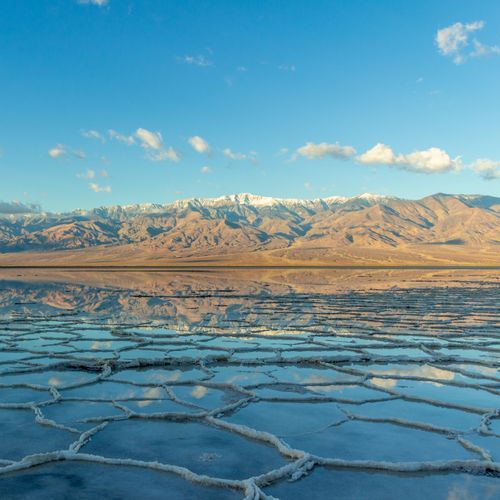
Badwater Basin is a notable point of interest in Death Valley National Park. It is the lowest point in North America, at 282 feet below sea level. Visitors often explore its vast salt flats, which offer a stark contrast to surrounding mountain landscapes. Temperatures can be extreme, so planning is essential. The basin's unique geological features attract photographers and nature enthusiasts alike.

Mesquite Flat Sand Dunes

Mesquite Flat Sand Dunes

11 trails2 campgrounds

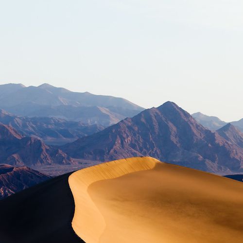
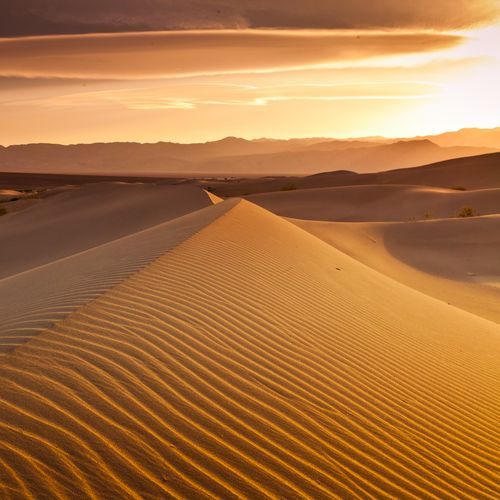
Mesquite Flat Sand Dunes offer a unique landscape with vast, rolling sand formations. Unlike the mountainous terrain in other areas, these dunes provide an accessible and serene environment for visitors. They are the most easily reached dunes in the region, ideal for photography and stargazing. The area is home to diverse wildlife, including lizards and insects adapted to desert conditions, offering a distinct contrast to the park’s alpine ecosystems.

Furnace Creek

Furnace Creek

6 trails3 campgrounds

Furnace Creek is not located in Denali National Park. Instead, it is a notable area within Death Valley National Park, California. Here is a revised description that maintains the original style and tone but corrects the inaccuracies:

Stovepipe Wells

Stovepipe Wells

Stovepipe Wells is not located in Denali National Park; it is actually situated in Death Valley National Park, California. Here is a revised description that accurately reflects Stovepipe Wells in Death Valley:

Panamint Springs

Panamint Springs

3 trails1 campgrounds

Panamint Springs does not exist in Denali National Park. Instead, it is located in Inyo County, California, near Death Valley National Park. Here is a corrected version of the description based on its actual location:

Ubehebe Crater

Ubehebe Crater

2 trails3 campgrounds

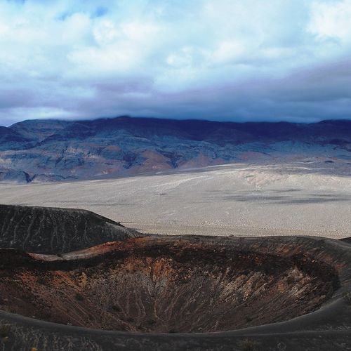
Ubehebe Crater is a striking geological formation, offering a unique landscape distinct from other areas. Its volcanic origin creates an intriguing contrast to the park's mountainous terrain. Visitors can explore the crater's rim and witness its vast, rugged beauty. The site provides educational insights into volcanic activity and earth science, making it a fascinating destination for geology enthusiasts. Its accessibility enhances its appeal for both casual tourists and serious hikers.

Wildrose Charcoal Kilns

Wildrose Charcoal Kilns

7 trails3 campgrounds

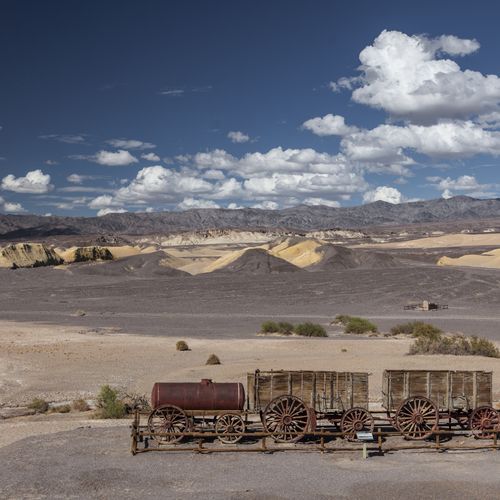
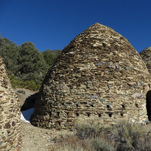
The Wildrose Charcoal Kilns offer a unique glimpse into the area's industrial past. These beehive-shaped structures were built in 1877 to produce charcoal for nearby silver mines. Unlike the rugged landscapes commonly seen, the kilns provide a fascinating historical contrast. Visitors can explore the well-preserved kilns and learn about their significance in resource processing. They stand as a testament to human ingenuity amidst natural surroundings, distinct from other park attractions.

Explore all areas with offline maps in the Parka app

Download Parka — It's Free

Explore Death Valley National Park areas with offline maps

Free on the App Store

Get Parka

Why Park Lovers Choose Parka

Trip Planner

All the tools for epic adventures

Works Offline

Fully functional without cell service

Updated Weekly

Trail conditions, alerts, and closures

Try Risk-Free

7-day free trial, cancel anytime

Start Your 7-Day Free Trial

Unlock everything you need for your next national park trip. Your first week is on us!

National Park vista

Start your adventure today

Download Parka and plan your perfect national park trip in minutes.