
Death Valley National Park, with its stark and rugged beauty, has the distinction of being the hottest, driest, and lowest national park in the United States. Located primarily in eastern California, with a small portion extending into Nevada, the park covers an expanse of 3.4 million acres, making it the largest national park in the contiguous United States.
Death Valley is famous for its record-breaking climate that can reach temperatures up to 134 degrees Fahrenheit, conditions that have shaped its diverse and adaptive ecosystems. The landscape of Death Valley is notably varied, with vast salt flats, deep canyons, towering peaks, and fields of sand dunes. Badwater Basin, the park's lowest point, lies at 282 feet below sea level and is a landscape of salt flats that seem to stretch endlessly. Just a short drive away, the park presents the contrasting scenery of snow-dusted peaks such as Telescope Peak, which rises to 11,049 feet above sea level.
Despite the harsh conditions, Death Valley supports an array of life adapted to its extreme environment. Visitors might spot species like the bighorn sheep, kit fox, or the rare Death Valley pupfish, one of the world's rarest fish that inhabits tiny, isolated pools near Salt Creek. Geologically, the park is famed for sites like Ubehebe Crater, a large volcanic crater that is the result of steam and gas explosions. The colorful mineral deposits of the Artists Palette showcase the park's varied mineralogy, displaying reds, pinks, greens, and yellows, painting a striking picture against the backdrop of the desert hills.
Human history in the area is also rich, with remnants of the Native American tribes, early settler routes, and the boom-and-bust tales from the mining era. Visitors to Death Valley can explore ghost towns like Rhyolite, reflecting the park's past economic fluctuations. Death Valley's unique conditions also make it a prime location for stargazing, with its clear, dark skies providing a perfect vista for astronomical observation.
In addition to being a remarkable ecosystem and geological wonder, the park serves as a valuable lesson in the resilience of life and the versatility of natural processes, making it a fascinating destination for any adventurer.
Death Valley National Park
California, Nevada
California, Nevada
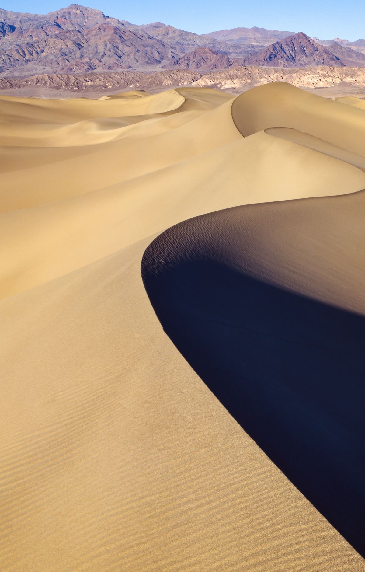
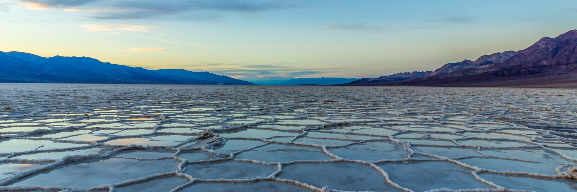
Death Valley National Park is defined by extremes: it is the hottest and driest place in North America, and parts of its floor sit below sea level. Badwater Basin, the lowest point in the United States at 282 feet below sea level, is a broad salt flat that may briefly fill with water after heavy rain. Zabriskie Point overlooks badlands, while Dante's View looks out over the valley and down to Badwater Basin. Artists Palette shows colorful volcanic hills, and the Mesquite Flat Sand Dunes sit beneath purple mountains. Racetrack Playa is known for boulders that slide across its flat lakebed. Visitors can also day hike, saving low-elevation trails for cool winter days and carrying plenty of water.
Park Areas
All areas →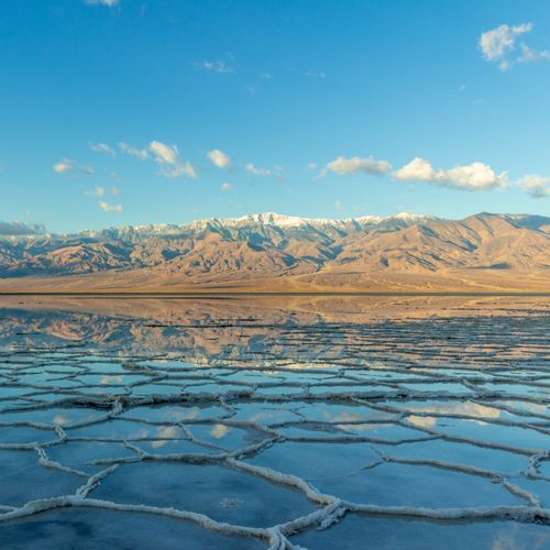
Badwater Basin
The lowest point in North America lies 282 feet below sea level on a vast expanse of salt flats. Visitors can view the basin from their car in the parking area, or follow a short paved ramp onto a wooden boardwalk that runs out to the edge of Badwater Pool. Past the boardwalk, the ground has been flattened like hard-packed sand, and a walk of about a quarter mile leads to the salt polygons, large polygon-shaped salt formations that stretch across the ground. Many people hike out onto the flat, but there is no designated trail, so stick to paths others have already walked and watch for large holes in the salt. The site also rewards a scenic drive, and after dark the open flat is a good place for night sky viewing and photography.
Mesquite Flat Sand Dunes
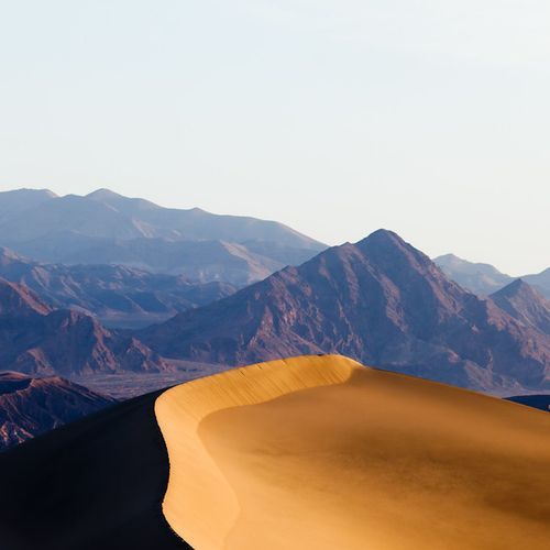
Sand dunes rise beside the mountains here, and they are the most famous and most easily reached dune field in the area. The ground is mostly deep sand with steep sandy hills, and the route to the high dune runs about a mile each way with no formal trail, so expect a tiring walk. A scenic viewpoint can be seen from the car, so you can take in the dunes without leaving your seat. Visitors with a sandboard or sand sled can ride the slopes, and snow sleds work too. The dunes work as a natural playground for kids, and the sand against the surrounding mountains makes a photogenic scene for photographers. The parking area has vault toilets, and you can walk out as far as you like.
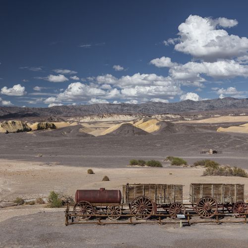
Furnace Creek
A desert oasis below sea level, Furnace Creek is anchored by its visitor center, where rangers answer questions and help plan trips. Exhibits and a 20-minute park film explain the area's natural and cultural history, and the bookstore is worth a look. Furnace Creek Campground sits directly past the visitor center. It is the only NPS campground in the park that accepts reservations, with full RV hookups as well as dry sites for tents. Golden Canyon offers a two-mile hike rated easy to moderate, leading toward Red Cathedral. A paved, flat path runs one mile from the visitor center to Harmony Borax Works, suitable for bikes. Astronomy programs use a viewing area beside the visitor center.
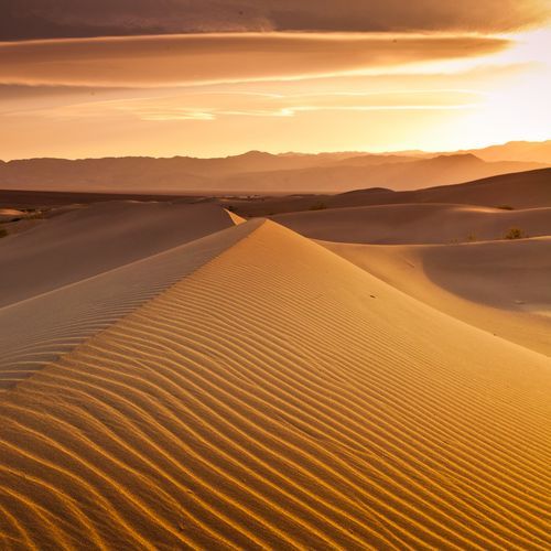
Stovepipe Wells
Sitting at sea level in the desert, this spot gathers a lodge, a campground and a few basic services in one place. Stovepipe Wells Village has renovated resort rooms, a restaurant, a saloon, a general store and a gas station, while the adjacent campground is first-come, first-served and has tent sites. From camp, the Mesquite Flat Sand Dunes are a short drive away, and the walk to the highest dune runs about two miles across the sand with no trail to follow. Mosaic Canyon offers a moderate day hike of one to four miles with some scrambling over rock. Drivers with high-clearance 4WD can tackle the Cottonwood-Marble Canyon Loop, a 26 to 30 mile route with no trail, so bring a map and compass.
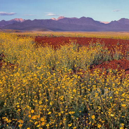
Panamint Springs
Desert water, volcanic rock and wide valley views define this western stretch of the park. Darwin Falls is a year-round, spring-fed waterfall in a narrow gorge. Reaching it means an unpaved road and a mostly level walk of about a mile, with rock scrambling, stream crossings and no formal trail. In spring, willow thickets along the stream fill with migrating birds, making it a good spot for birdwatching. Father Crowley Vista looks over dark lava flows and volcanic cinders before the land drops into Rainbow Canyon, with northern Panamint Valley beyond. Lee Flat Joshua Trees hold the finest tree-sized yuccas in the park. Panamint Dunes lie along an unmarked, sandy route to four dunes and a natural bridge, which requires a high clearance vehicle. Panamint Springs Resort offers lodging, camping, a restaurant and fuel.
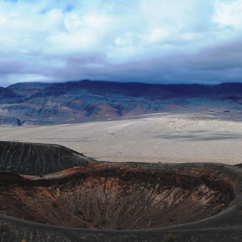
Ubehebe Crater
Measuring about 600 feet from rim to floor, this volcanic basin spans roughly half a mile. The paved lot on the rim overlooks it. A rim trail of about 1.5 miles circles the crater, climbing roughly 500 feet past exposed edges, so it is a poor choice for anyone who fears heights. Little Hebe, a smaller crater that appears younger, lies along the route. A path also drops into the crater, where the walk down is easy but the climb back out can be exhausting. The rim and gullies are loose and unstable, so stay on the marked trail. There are no restrooms here; the closest are at Grapevine Ranger Station. The name Ubehebe was first applied to a peak 24 miles away, and its link to the crater is unclear. The Timbisha Shoshone call the crater Tem-pin-tta-Wo'sah.
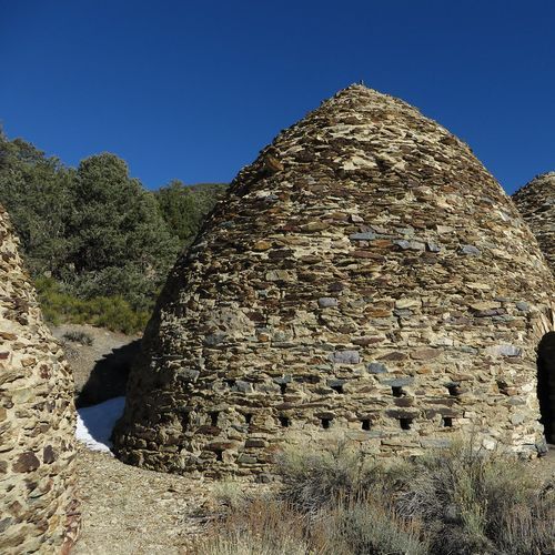
Wildrose Charcoal Kilns
Ten beehive-shaped stone kilns stand along a forested mountain road in the Panamint Mountains, a reminder of the 1870s, when the Modock Consolidated Mining Company built them to produce charcoal. That fuel supplied two smelters serving lead-silver mines in the Argus Range. The kilns can be seen from a scenic drive along Emigrant Canyon Road, and the small gravel lot beside them is also where the Wildrose Peak Trail begins. That trail winds through pinyon pine and juniper woodlands, climbing steep switchbacks toward views over the valley and its salt flats. The round trip is 8.4 miles, rated difficult, with about 2,200 feet of elevation gain. Wildrose Campground offers 23 sites with tables, fire pits, and pit toilets, but it has no water, so bring your own.
Popular Hiking Trails
All trails →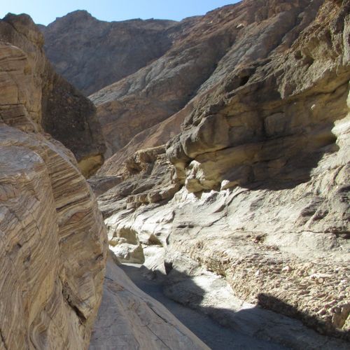
Mosaic Canyon Trail
Moderate3.5 mi
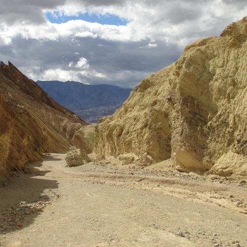
Golden Canyon Trail
Moderate3.0 mi
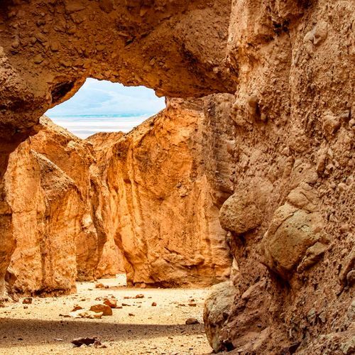
Natural Bridge Trail
Moderate1.4 mi
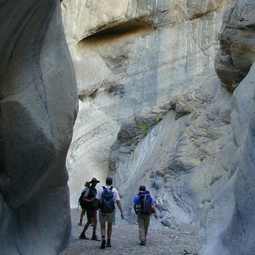
Fall Canyon Trail
Moderate6.1 mi
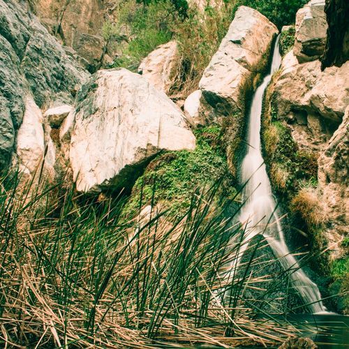
Darwin Falls Trail
Moderate6.7 mi
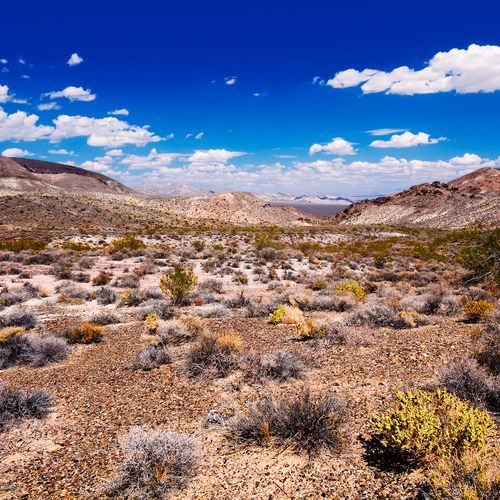
Telescope Peak Trail
Difficult12.3 mi
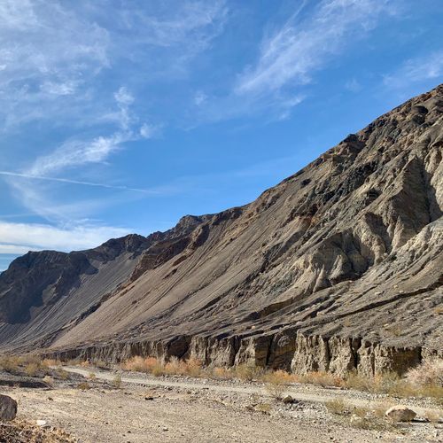
Surprise Canyon hiking route
Difficult10.6 mi
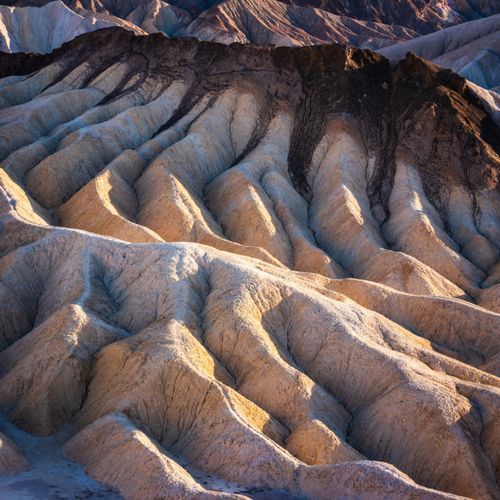
Badlands Loop
Moderate2.3 mi
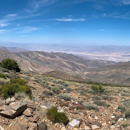
Wildrose Trail
Difficult7.8 mi
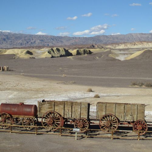
Harmony Borax Works Trail
Easy0.4 mi
Visitor Centers
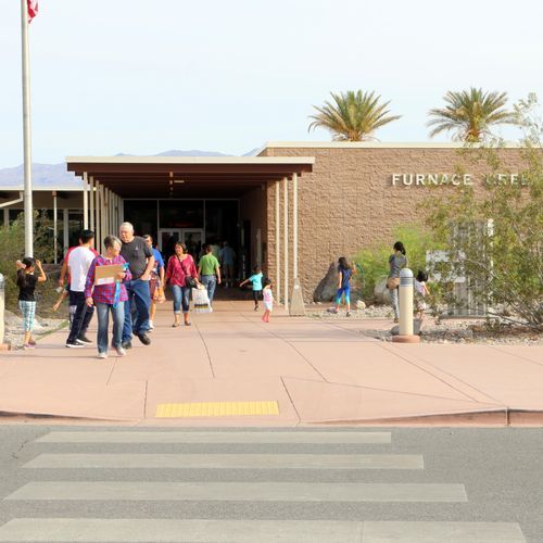
Furnace Creek Visitor Center
8:00AM - 5:00PM
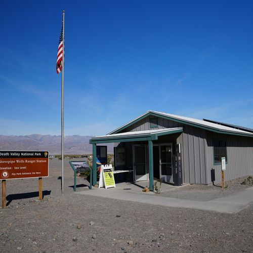
Stovepipe Wells Ranger Station
Closed
Campgrounds
Camping guide →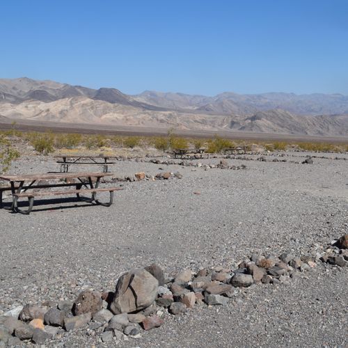
Emigrant Campground
Mesquite Flat Sand Dunes
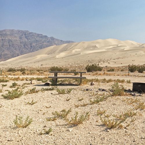
Eureka Dunes Campground (Primitive)
Ubehebe Crater
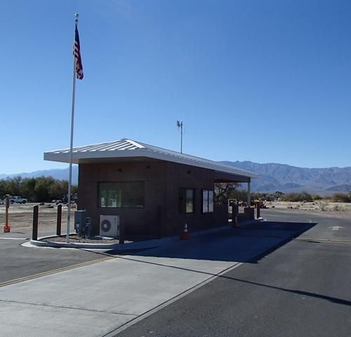
Furnace Creek Campground
Furnace Creek
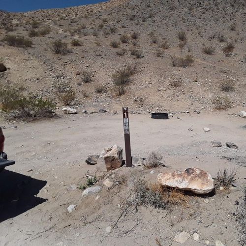
Homestake Campground (Primitive)
Panamint Springs
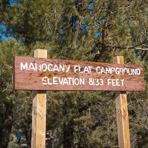
Mahogany Flat Campground (Primitive)
Wildrose Charcoal Kilns
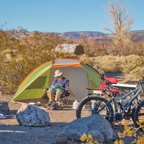
Mesquite Spring Campground
Ubehebe Crater
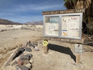
Saline Valley Campground (Primitive)
Ubehebe Crater
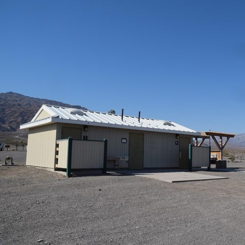
Stovepipe Wells Campground
Mesquite Flat Sand Dunes
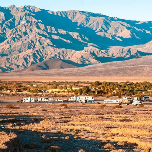
Sunset Campground
Furnace Creek
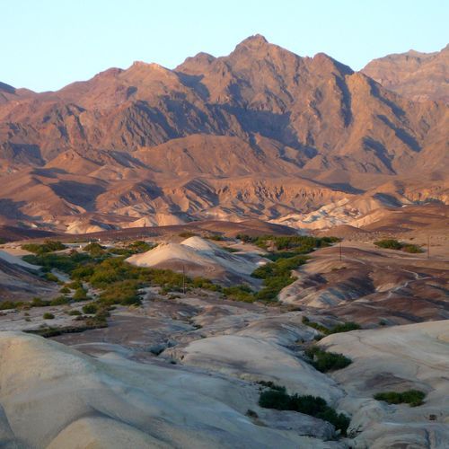
Texas Springs Campground
Furnace Creek
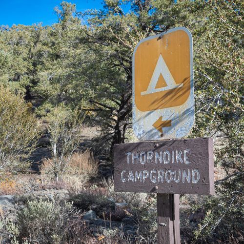
Thorndike Campground (Primitive)
Wildrose Charcoal Kilns
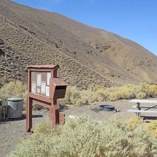
Wildrose Campground
Wildrose Charcoal Kilns
About the Park
Park Areas
Artists Palette is a standout feature in Death Valley National Park, known for its vibrant array of colorful mineral deposits. This area offers a vivid visual experience, making it a prime location for photographers and geologists interested in exploring the park's diverse geological features. Its accessibility and unique appearance draw visitors seeking a contrast to the park's more rugged landscapes.
Zabriskie Point provides sweeping views of colorful, eroded ridges, offering a surreal landscape reminiscent of desert environments. Its panoramic vistas are particularly striking during sunrise and sunset, making it a popular spot for photography. The area's stark, barren beauty provides a distinctive visual experience for visitors.
Badwater Basin, the lowest point in North America at 282 feet below sea level, features vast salt flats that contrast sharply with the park's mountainous areas. Visitors should plan for extreme temperatures while exploring this unique geological site, which attracts photographers and nature enthusiasts.
Mesquite Flat Sand Dunes present a serene environment with vast, rolling sand formations. Easily accessible, these dunes are ideal for photography and stargazing, and they host diverse wildlife adapted to desert conditions, offering a distinct contrast to the park’s alpine ecosystems.
Ubehebe Crater, with its volcanic origins, provides a unique landscape and educational insights into volcanic activity. Visitors can explore the crater's rim, making it a fascinating destination for geology enthusiasts.
Father Crowley Point offers expansive views and a quieter atmosphere for observing wildlife and experiencing the park's natural beauty. Its historical significance and accessibility make it a convenient stop for travelers.
The Wildrose Charcoal Kilns, built in 1877, offer a glimpse into the area's industrial past. These well-preserved structures provide a fascinating historical contrast to the park's natural attractions.
Park Guides
All 12 guides →Driving 3.4 Million Acres Without Entrance Stations
Death Valley National Park spreads across 3.4 million acres, making it the largest national park in the contiguous United States.
Hottest Place on Earth: Heat and Seasons
Death Valley holds the world record for the highest air temperature ever measured at the surface of the Earth.
Badwater Basin: Salt Flats 282 Feet Down
Badwater Basin sits 282 feet below sea level, making it the lowest point in North America.
Artist's Drive and Artist's Palette
Artists Drive is a nine-mile paved route that runs past eroded hills in many colors in Death Valley.
Zabriskie Point and the Badlands Trails
A short walk from the parking area brings you to the Zabriskie Point overlook, a well-known vista in the park.
