ParkaDownload
Guadalupe Mountains National Park

Trails in Guadalupe Mountains National Park

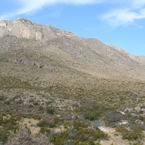
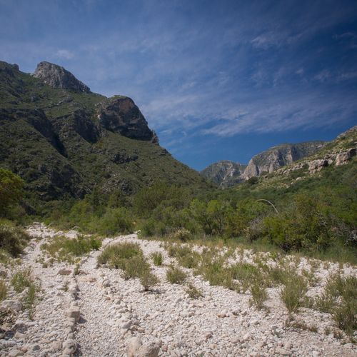
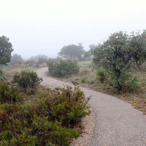
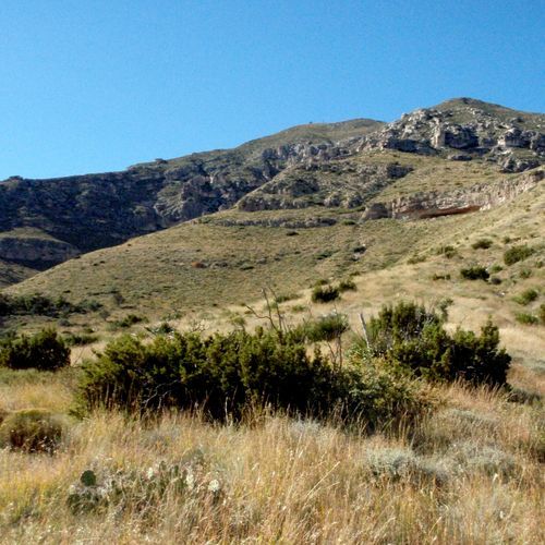
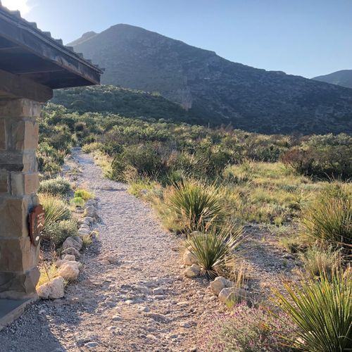
Hiking is the main event in Guadalupe Mountains National Park, and the trail system delivers a surprisingly broad range of experiences for a park that first appears all rock, desert, and stark horizons. Across 16 trails, hikers can choose everything from easy walks and moderate canyon outings to difficult mountain climbs and one truly punishing route for those who want a full-value challenge. Easy and moderate trails introduce the park’s dramatic contrasts—desert flats giving way to wooded canyons, shaded pockets, and high country terrain—while the tougher routes quickly remind you that the Guadalupes are serious mountains, with sustained elevation gain, exposed stretches, and long, rewarding approaches. The standouts are exactly what you’d expect in a park built for hikers. The trek to Guadalupe Peak, the highest point in Texas, is the signature accomplishment: a strenuous climb with enormous summit views and real bragging rights. McKittrick Canyon is the classic scenic hike, beloved for its canyon walls, richer vegetation, and the feeling of moving deep into one of the park’s most sheltered landscapes. From Dog Canyon, trails offer a gentler grade into the high country, making that area especially appealing for hikers who want access to big country without the steepest initial push. For backpackers and strong day hikers, the broader wilderness network opens up long miles of solitude, with ridgelines, canyons, and forested pockets that feel far removed from the road. What makes hiking here special is the sheer sense of transition and scale. Guadalupe Mountains National Park is not a casual roadside scenery park; it is a place where you earn the best views and where each climb reveals a new ecological zone, a different texture of rock, and a deeper quiet. One hour you are in the Chihuahuan Desert, the next you are winding through pines in cool mountain air. The terrain is rugged, the wilderness feels genuinely big, and the reward is a kind of solitude and drama that few Texas landscapes can match.

Guadalupe Peak Trail

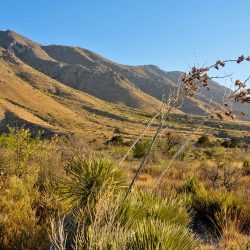
Guadalupe Peak Trail

Difficult8.3 mi

Ascend through a dramatic landscape of limestone formations, reaching the highest natural point in Texas. The trail features a significant elevation gain, offering stunning vistas and a unique geological experience. The summit is marked by a stainless steel pyramid, commemorating the Butterfield Overland Mail route.

Permian Reef Trail

Permian Reef Trail

Difficult8.9 mi

This trail offers a steep climb up the exposed limestone slopes, transitioning from arid desert landscapes to a lightly wooded plateau. It is renowned for its geological significance, showcasing the Capitan Reef and various fossils from the Permian period. The trail provides spectacular views of McKittrick Canyon and the surrounding desert, making it a unique blend of natural beauty and scientific interest.

Blue Ridge Trail

Moderate1.9 mi

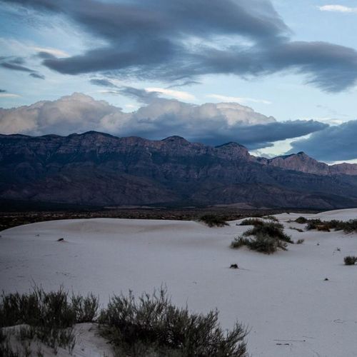
Winds through a dense forest of Ponderosa pines, offering a unique contrast to the surrounding Chihuahuan Desert. The trail provides panoramic views of the desert landscape, including the Salt Basin Dunes and the distant Sierra Diablo Mountains. Along the path, hikers may encounter a variety of wildlife, including mule deer, javelinas, and a diverse array of bird species. The trail also features a historic ranch house, offering a glimpse into the area's past. Despite its remote location, the trail is well-maintained and marked, making it a rewarding experience for those seeking solitude and natural beauty.

Butterfield Stage Ruins Trail

Easy0.1 mi

This trail leads to the remains of the historic Butterfield Overland Mail stage station, offering a glimpse into the Old West. The path traverses through desert landscapes with native plants, providing scenic views of the surrounding mountains. It is a short and accessible hike suitable for families.

Dunes Trail

Dunes Trail

Easy1.6 mi

Experience the unique Hoosier landscape with towering sand dunes and diverse habitats. The trail offers a glimpse into the region's natural beauty, featuring black oak forests and scenic views of Lake Michigan.

Frijole Trail

Frijole Trail

Difficult3.8 mi

This trail offers a scenic loop through the foothills near a historic ranch, featuring an oasis at Smith Spring. The area is known for its wildlife and natural springs, which supported early ranch life. The trail provides a peaceful hike with opportunities to spot unique bird species.

Mckittrick Ridge Trail

Mckittrick Ridge Trail

Extreme12.7 mi

This strenuous hike takes you through McKittrick Canyon, featuring historic Pratt Cabin and a variety of tree species. The trail leads to McKittrick Ridge, known for its challenging ascent and breathtaking vistas. It's a must-do for experienced hikers seeking an overnight adventure.

Pinery Trail

Pinery Trail

Easy0.5 mi

This trail offers a glimpse into the Chihuahuan desert's native plants and scenic views of the Guadalupe Mountains. It leads to the historic ruins of the Old Pinery Station, part of the Butterfield Overland Mail Route. The paved path is accessible and suitable for families, providing benches along the way for rest and reflection.

Salt Basin Overlook Trail

Salt Basin Overlook Trail

Moderate3.5 mi

This trail offers a scenic hike with panoramic views from the overlook. The unpaved path requires sturdy footwear and offers a moderate challenge with notable elevation changes. The trail's natural beauty includes diverse landscapes and potential wildlife sightings.

Smith Springs Trail

Smith Springs Trail

Moderate2.3 mi

This trail leads to a sheltered oasis, passing by Manzanita Spring before reaching Smith Spring. It traverses open grassy slopes with views of the Chihuahuan Desert. The area supports a variety of wildlife and offers a lush riparian woodland with Ponderosa Pines and big-toothed maples.

Juniper Trail

Easy1.9 mi

This trail offers breathtaking views of unique rock formations and the surrounding landscape. Hikers can expect steep ascents and narrow paths, with opportunities to spot wildlife like the California condor. The trail winds through oak woodlands and rugged canyons, providing a diverse hiking experience.

Marcus Trail

Moderate3.8 mi

No description available

Visitor Horse Corrals Access

Easy0.1 mi

This short trail provides access to horse corrals, offering a simple and easy route for those with horses. It is an unpaved path, suitable for casual strolls or horseback riding.

Indian Meadow Nature Trail

Easy0.7 mi

Stroll through a lovely meadow, learning about the native plants and cultural significance of the area. The trail features a series of interpretive stops, offering insights into the local ecosystem and history.

Manzanita Ridge Route

Easy1.4 mi

This route traverses a scenic ridge, providing panoramic views of the surrounding landscape. The terrain is generally straightforward, making it accessible for those seeking a straightforward hike with rewarding vistas.

McKittrick Canyon

McKittrick Canyon

Moderate4.4 mi

This short trail offers a tranquil walk through varied desert environments, providing a glimpse into the natural beauty of the area. It is ideal for those seeking a brief, easy hike with minimal elevation change.

Get offline trail maps and detailed hiking info in the Parka app

Download Parka — It's Free

Get offline trail maps for Guadalupe Mountains National Park

Free on the App Store

Get Parka

Why Park Lovers Choose Parka

Trip Planner

All the tools for epic adventures

Works Offline

Fully functional without cell service

Updated Weekly

Trail conditions, alerts, and closures

Try Risk-Free

7-day free trial, cancel anytime

Start Your 7-Day Free Trial

Unlock everything you need for your next national park trip. Your first week is on us!

National Park vista

Start your adventure today

Download Parka and plan your perfect national park trip in minutes.