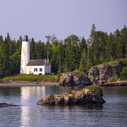
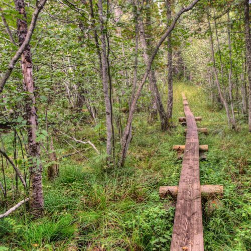
Isle Royale is best understood as two distinct realms: the main island interior and shoreline network, and the surrounding outer archipelago and waters of Lake Superior. The main island is the heart of the park—a long, rugged spine of ridges, forests, inland lakes, and narrow bays where most hikers and backpackers will spend their time. This is where Isle Royale reveals its classic character: no roads, no casual pass-through touring, just a deliberate immersion in wilderness shaped by distance, weather, and terrain. The island’s long east-west form creates natural zones for exploration, from the more commonly used arrival areas around Rock Harbor on the east end to the broader interior and quieter western reaches, where the park feels even more remote. Visitors should think of the main island as a place to explore by commitment rather than convenience, choosing a basecamp, paddle route, or multi-day trail itinerary and letting the landscape set the pace.
The second area is the surrounding constellation of smaller islands, coves, and open water that makes Isle Royale as much a maritime park as a terrestrial one. For boaters, kayakers, and paddlers, these outer islands transform the experience, offering protected passages, dramatic exposed shorelines, secluded anchorages, and a strong sense of being out on Superior rather than simply beside it. Even on the main island, the contrast between shorelines matters: gentler southern stretches and inlets often feel more approachable, while the north side reads wilder and steeper, with a harsher Lake Superior energy. That split helps visitors decide how to explore. Hikers should focus on the island’s ridge-and-trail systems and expect real elevation changes despite relatively short map distances. Paddlers and boaters should treat the park as an interconnected archipelago, where weather, water conditions, and distance between safe landings shape every day. In either case, Isle Royale rewards travelers who narrow their focus, travel light, and embrace one section of the park deeply rather than trying to see everything at once.