ParkaDownload
Isle Royale National Park

Trails in Isle Royale National Park

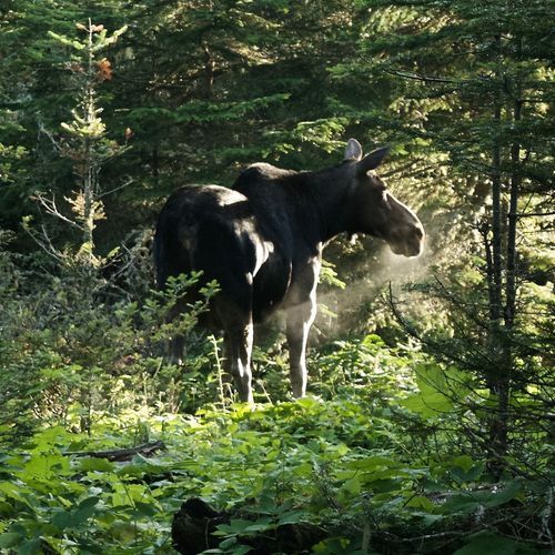
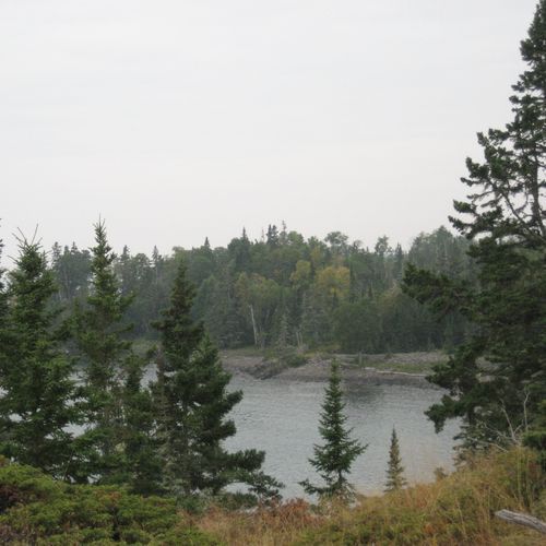
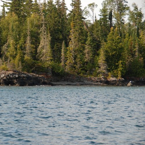
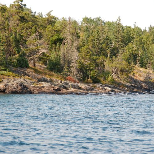
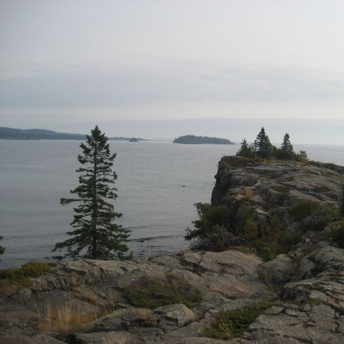
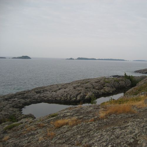
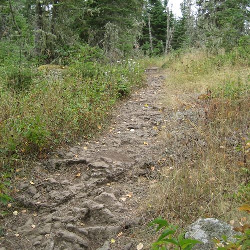
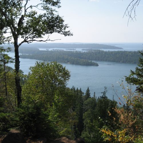
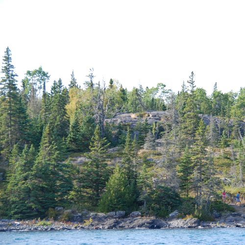
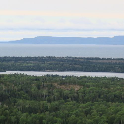
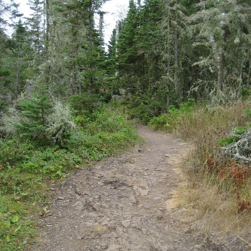
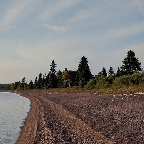
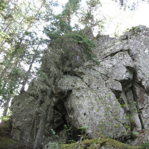
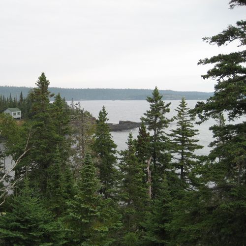
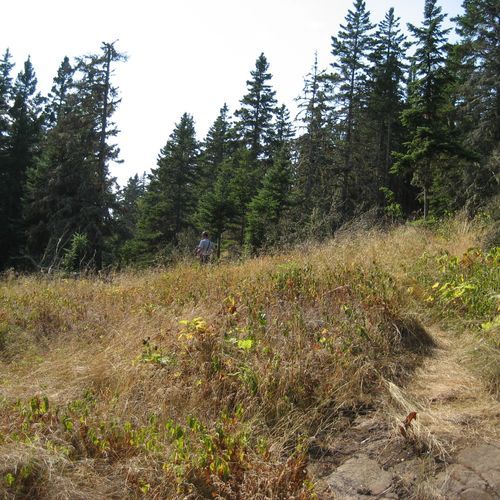
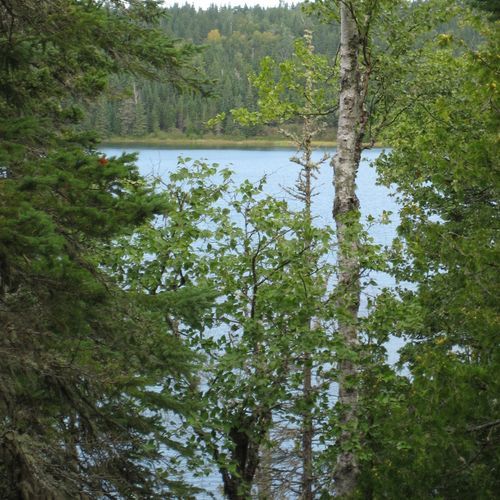
Hiking on Isle Royale feels different from the moment you step off the boat: this is a trail system shaped by isolation, water, and wilderness rather than roadside convenience. The park’s 33 trails skew heavily approachable, with plenty of easy routes for day hikers who want to wander shoreline forests, rocky coves, and quiet interior paths, plus a handful of moderate options and a strong set of difficult backcountry trails for hikers looking to commit to longer miles and rougher terrain. Even the easier walks carry a sense of remoteness that is rare in the national parks, while the tougher routes demand endurance, careful planning, and respect for the island’s ridges, roots, rocks, and rapidly changing weather off Lake Superior. The standout hikes are the island’s classic long routes, especially the Greenstone Ridge Trail, which traces the backbone of Isle Royale and delivers the park’s signature experience: big water views, rolling forested ridges, and a deep immersion in one of the most secluded landscapes in the Midwest. The Rock Harbor Trail is another favorite, combining rugged shoreline walking with constant contact with the lake, while shorter trails around developed areas give casual visitors a taste of the island without requiring an expedition. What makes hiking here special is not just the scenery, but the total experience of it: no cars, no easy exits, just footpaths threading through a remote Lake Superior archipelago where every hike feels earned and every overlook comes with the satisfaction of having truly gone somewhere wild.

Greenstone Ridge Trail

Greenstone Ridge Trail

Difficult40.3 mi

This trail traverses the island's highest ridge, providing views over Lake Superior and opportunities to see moose and wolves. It passes through diverse landscapes, including forests, marshes, and shoreline walks, offering a serene wilderness experience.
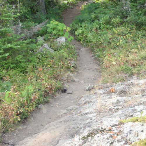
Lane Cove Trail

Lane Cove Trail

Difficult13.9 mi

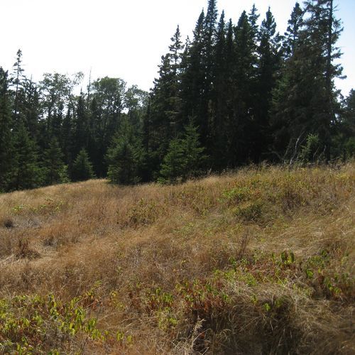
This trail offers a peaceful journey along the river, featuring diverse landscapes including eucalyptus forests and mangrove wetlands. It provides opportunities to spot local wildlife such as eastern water dragons and echidnas. The trail's proximity to urban areas makes it an accessible escape into nature.

Minong Ridge Trail

Minong Ridge Trail

Difficult25.8 mi

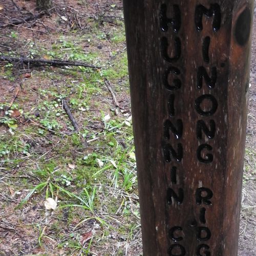
This rugged trail traverses the northern portion of the island, offering scenic views of Lake Superior and the Canadian shoreline. It features steep inclines, rocky ridges, and beaver dam crossings, making it a challenging yet rewarding experience for experienced backpackers. Wildlife sightings, including moose, are common due to the trail's remote nature.

Stoll Trail

Stoll Trail

Moderate4.4 mi

This trail winds between forest and shoreline, offering stunning views of Lake Superior's rugged coastline. It culminates at Scoville Point, a scenic spot named after a 19th-century copper prospector. The trail features boardwalks over marshy terrain and occasional openings with views of surrounding islands.

Daisy Farm Trail

Daisy Farm Trail

Easy1.8 mi

This trail connects Daisy Farm Campground to the Greenstone Ridge Trail, offering stunning views of the eastern side of the island. It features lengthy boardwalk bridges and can be slippery when wet due to beaver activity. The trail is part of a popular 5.1-mile loop that includes Mount Ojibway and a section of the Greenstone Ridge Trail.

Feldtmann Lake Trail

Feldtmann Lake Trail

Difficult8.3 mi

Experience a variety of landscapes, from dense forests to scenic ridges and beautiful lakeshores. The trail offers stunning views, especially from Feldtmann Ridge and Siskiwit Bay. It's a haven for wildlife spotting, with frequent moose sightings. The trail also features historic mining equipment and offers opportunities for birdwatching and fishing.

Hatchet Lake Trail

Hatchet Lake Trail

Moderate2.5 mi

This trail connects the Greenstone Ridge with the Minong Ridge, offering scenic views of Hatchet Lake. It provides a moderate hike through dense forests, ideal for those seeking solitude and natural beauty.

Hunnigan Cove Trail

Hunnigan Cove Trail

Difficult7.7 mi

Winding through dense forests and crossing multiple streams, this trail passes remnants of old copper mining log cabins and offers scenic views of Lake Superior. The path traverses swamps and wetlands, providing excellent opportunities to spot wildlife. The trail concludes at a picturesque cove with cobblestone beaches, offering stunning views of the surrounding landscape.

Indian Portage Trail

Indian Portage Trail

Difficult10.4 mi

This trail traverses through a variety of terrains, including lakes, swamps, beaver ponds, dense forests, and sections scarred by past fires. It offers scenic views and diverse wildlife, making it a challenging yet rewarding hike.

Ishpeming Trail

Ishpeming Trail

Difficult7.3 mi

This trail offers a scenic hike along the shoreline of Siskiwit Lake, culminating at Ishpeming Point, the second highest point on the island. It provides a wilderness experience with forested areas and scenic views, though it is less traveled and minimally maintained.

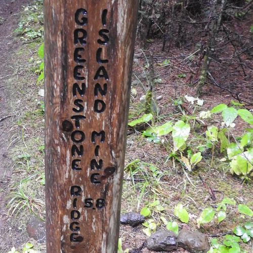
Island Mine Trail

Extreme14.8 mi

This trail offers a journey through a dense forest, passing near historic mining sites. It provides an opportunity to experience the rugged wilderness of the island, with scenic views and potential wildlife sightings. The trail's moderate difficulty makes it accessible for hikers looking for a challenge without extreme terrain.

Lake Richie Trail

Lake Richie Trail

Easy1.9 mi

This trail connects Moskey Basin to Lake Richie, passing through streams, wetlands, and rocky outcroppings. It offers scenic views and diverse landscapes typical of the park's terrain. While not as long as some other trails, it provides a glimpse into the park's varied ecosystems.

Lookout Louise Access Trail

Lookout Louise Access Trail

Easy0.1 mi

This trail leads to a stunning viewpoint offering expansive views of Duncan Bay, Five Finger Bay, and the surrounding landscape. The hike involves a moderate climb through a lush forest, culminating in breathtaking vistas of the island's rugged terrain and crystal-clear waters.

Minong Mine Access Trail

Minong Mine Access Trail

Easy0.1 mi

This short trail leads to the Minong Mine, a site of significant historical and archaeological importance. The mine is part of a larger copper mining district that has been designated a National Historic Landmark. Visitors can explore the remnants of both Indigenous and historic mining activities, offering a glimpse into the region's rich cultural past.

Moskey Basin Access Trail

Moskey Basin Access Trail

Easy0.2 mi

Winds through lush, verdant forests and along rocky shorelines, offering hikers a diverse array of landscapes. The trail culminates at a serene inland lake, providing a peaceful retreat for those seeking solitude. Along the way, hikers may encounter a variety of wildlife, including moose and numerous bird species. The trail also offers opportunities for backcountry camping, allowing visitors to fully immerse themselves in the park's natural beauty. Despite its remote location, the trail is well-marked and maintained, making it a popular choice for those seeking a wilderness adventure.

Mount Franklin Trail

Mount Franklin Trail

Easy1.9 mi

This trail leads to a scenic rock bluff, providing stunning views of Lake Superior and the Canadian mainland. It serves as a gateway to the Greenstone Ridge Trail, offering a glimpse into the island's interior landscape.

Mount Ojibway Trail

Mount Ojibway Trail

Moderate1.7 mi

This trail offers stunning views of Lake Superior from the Ojibway Lookout Tower. Starting from Daisy Farm Campground, it winds through a mix of forest and exposed ridges, providing an immersive experience of the island's diverse landscapes.

Portage

Easy0.9 mi

Winds through a dense, green forest, offering hikers a chance to immerse themselves in the wilderness. The trail also runs alongside several inland lakes, providing stunning water views and opportunities for canoeing or kayaking. Wildlife sightings are common, with potential encounters with the park's moose and wolf populations. The trail's terrain varies, including both flat sections and more challenging inclines, adding a level of adventure to the journey. The quiet isolation of the trail offers a unique opportunity for solitude and reflection in the heart of nature.

Rainbow Cove Trail

Rainbow Cove Trail

Easy0.8 mi

This short trail leads to a picturesque rocky shoreline along Lake Superior, offering stunning sunset views and a glimpse of the Rock of Ages Lighthouse on clear days. It serves as a pleasant side trip for backpackers staying at the nearby Feldtmann Lake Campground.

Rock Harbor Trail

Rock Harbor Trail

Difficult13.4 mi

This trail offers breathtaking views of Lake Superior as it winds along the shoreline, passing by scenic bluffs and offering glimpses into the island's wildlife. It connects several backcountry campgrounds, including Three Mile and Daisy Farm, providing a mix of solitude and access to park amenities.

South Lake Desor Access Trail

South Lake Desor Access Trail

Easy0.4 mi

This short trail offers access to the South Lake Desor Campground, situated inland on the south side of Lake Desor. It is part of the Greenstone Ridge Trail system and provides a serene hiking experience amidst the natural beauty of Isle Royale National Park.

Tobin Harbor Cut off Trail

Tobin Harbor Cut off Trail

Easy0.2 mi

This trail offers a scenic route along the shoreline, passing through boreal forest and providing views of Tobin Harbor. It connects with other trails, making it part of a larger network for hikers and backpackers.

Tobin Harbor Trail

Tobin Harbor Trail

Easy2.9 mi

This trail winds gently downhill through a boreal forest, offering scenic views as it hugs the shoreline of Tobin Harbor. It connects the Rock Harbor area with the Mount Franklin Trail, providing access to other notable sites like Suzy's Cave and Mount Franklin.

East Chickenbone Lake Trail

Easy1.3 mi

This trail offers a scenic route through the forested areas near Chickenbone Lake, providing access to the Greenstone Ridge Trail. It is part of a larger network of trails in Isle Royale National Park, known for its challenging terrain and scenic views.

Hatchet Lake Access Trail

Easy0.3 mi

This trail offers a serene journey through dense forest, providing access to Hatchet Lake. The area is known for its rugged beauty and proximity to the Greenstone Ridge Trail, making it a great stop for those exploring the island's wilderness.

Mott Island Trail

Easy2.5 mi

This trail offers a serene hike through a barrier island's northern woods, providing scenic views of Rock Harbor Channel. The area is known for its natural beauty and tranquility, making it a great day hike option.

Siskiwit Bay Access Trail

Easy0.3 mi

This trail offers a scenic route to Siskiwit Bay, providing stunning views of Lake Superior. The area is known for its natural beauty and diverse ecosystems, including nearby wetlands like Lost Creek Bog. The trail's proximity to the bay makes it ideal for those interested in exploring the shoreline and enjoying the tranquility of the area.

Edisen Fishery Trail

Easy0.4 mi

Visit the historic Edisen Fishery, a well-preserved example of a family-operated fishery from the early 20th century. The trail offers insights into the island's fishing heritage and is located near the Rock Harbor Lighthouse, adding to its historical significance.

Lake Lesage Access Trail

Easy0.2 mi

This trail offers a peaceful journey through natural landscapes, providing access to the serene surroundings of Lake Lesage. The trail's gentle slope makes it suitable for a variety of visitors, offering a tranquil experience amidst the park's natural beauty.

Lake Mason Access Trail

Easy0.3 mi

No description available

Little Todd Access Trail

Easy0.6 mi

This trail offers a scenic route to Little Todd Harbor, featuring rugged shoreline views and diverse wildlife. The area is known for its challenging terrain and beautiful vistas, making it a unique destination for hikers.

North Lake Desor Access Trail

Easy0.4 mi

This short trail provides access to Lake Desor, offering scenic views and a tranquil environment. It is a great starting point for exploring the surrounding wilderness.

Todd Harbor Access Trail

Easy0.2 mi

This trail provides a straightforward path to Todd Harbor, offering access to the scenic north shore of Isle Royale. It is a short and relatively easy route, suitable for visitors looking to explore the harbor area.

Get offline trail maps and detailed hiking info in the Parka app

Download Parka — It's Free

Get offline trail maps for Isle Royale National Park

Free on the App Store

Get Parka

Why Park Lovers Choose Parka

Trip Planner

All the tools for epic adventures

Works Offline

Fully functional without cell service

Updated Weekly

Trail conditions, alerts, and closures

Try Risk-Free

7-day free trial, cancel anytime

Start Your 7-Day Free Trial

Unlock everything you need for your next national park trip. Your first week is on us!

National Park vista

Start your adventure today

Download Parka and plan your perfect national park trip in minutes.