ParkaDownload
Joshua Tree National Park

Trails in Joshua Tree National Park

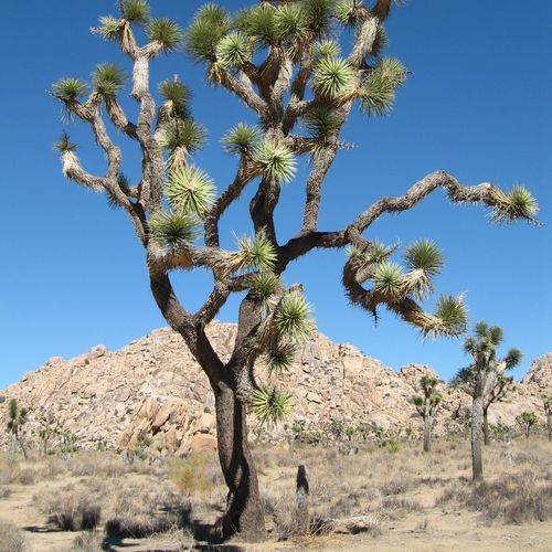
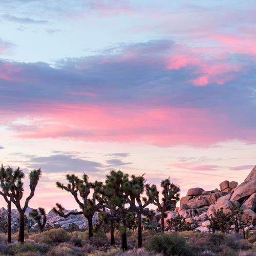
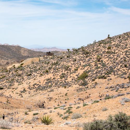
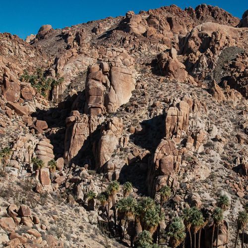
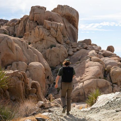
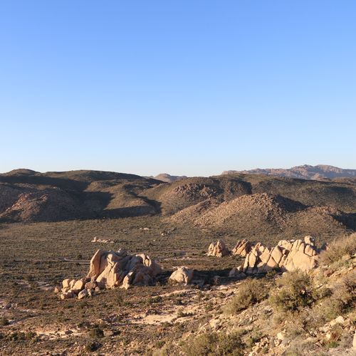
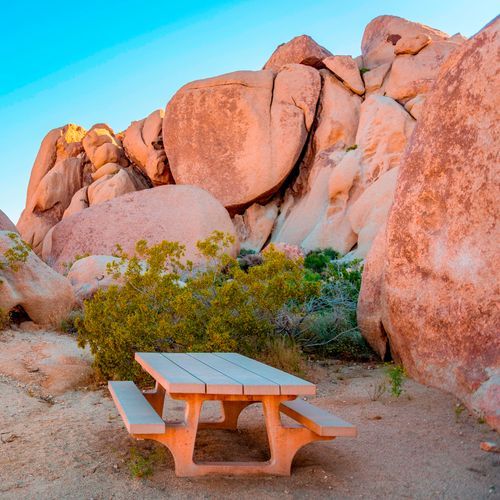
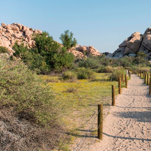
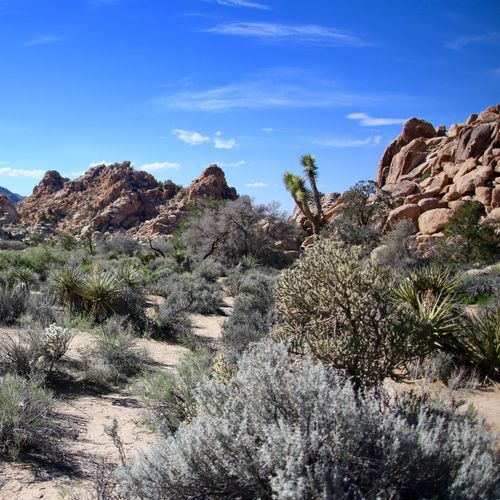
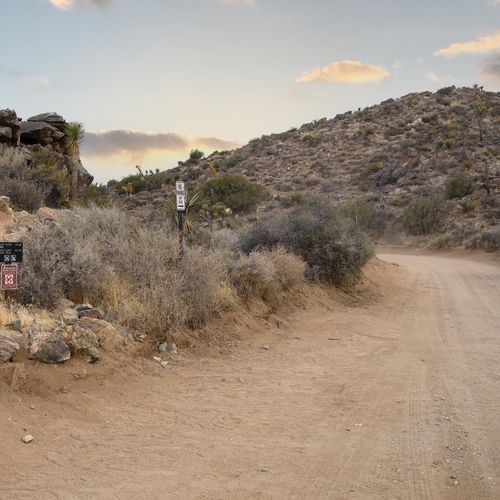
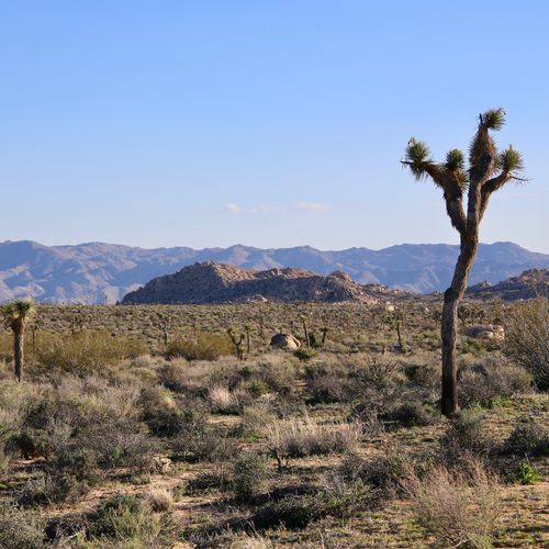
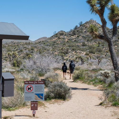
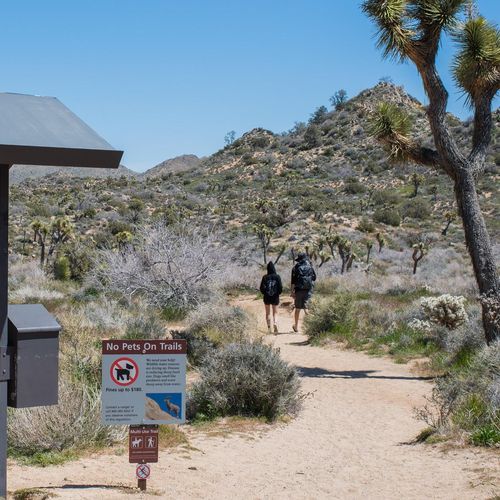
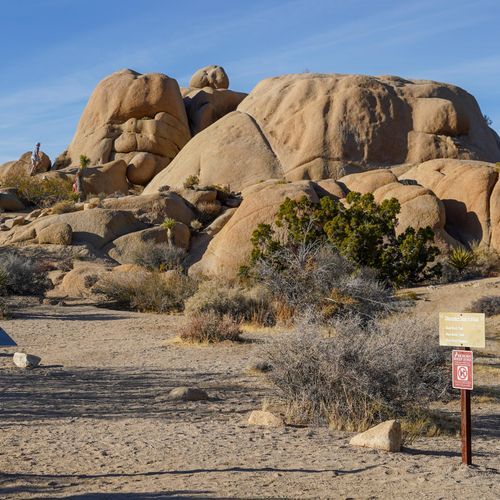
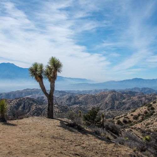
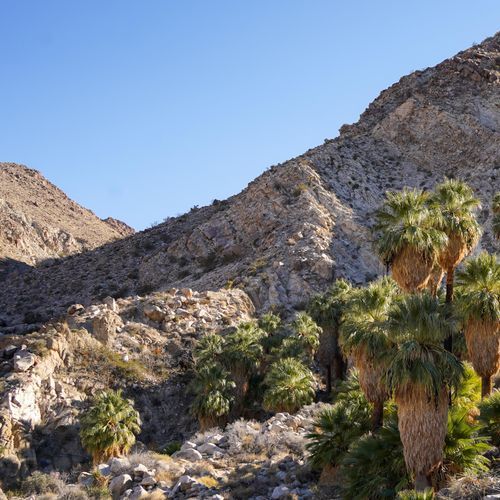
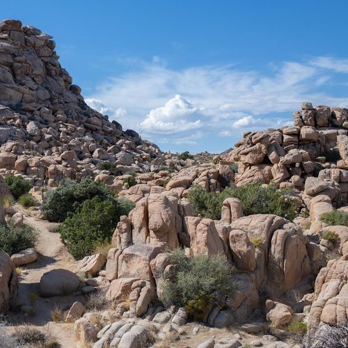
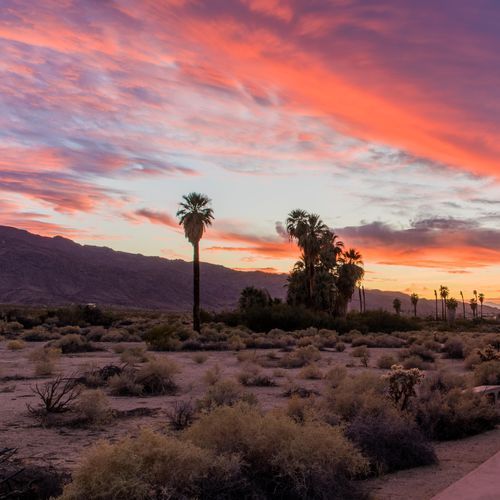
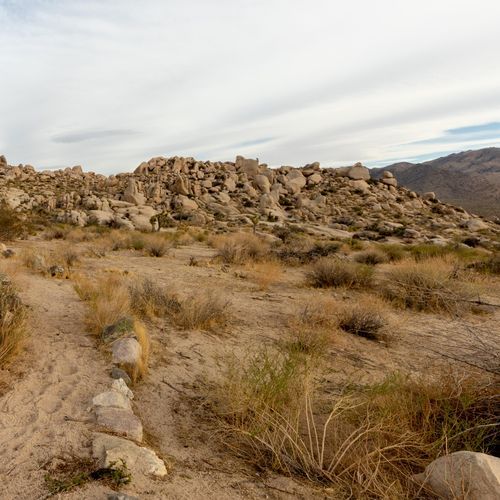
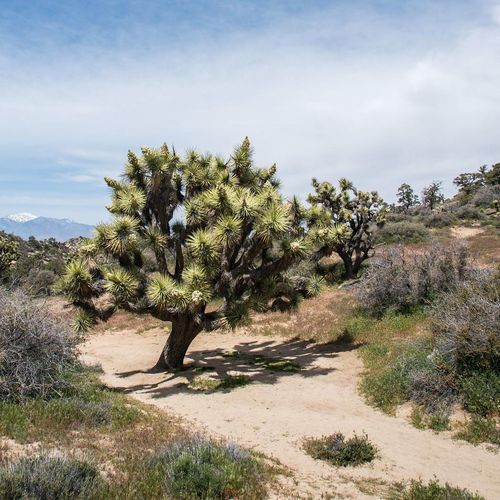
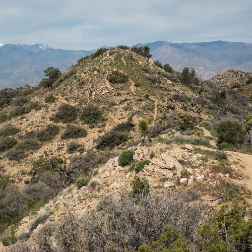
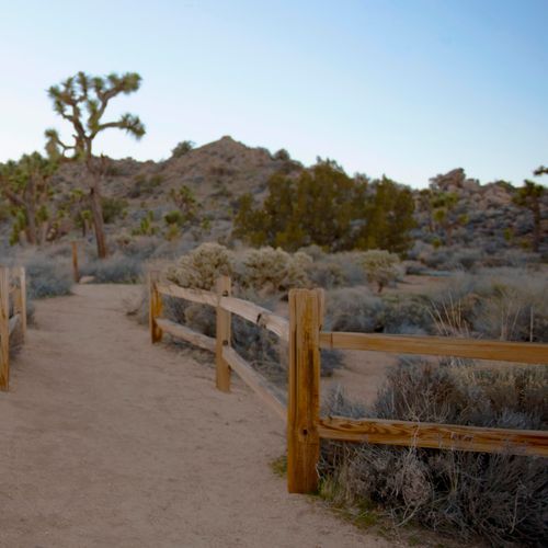
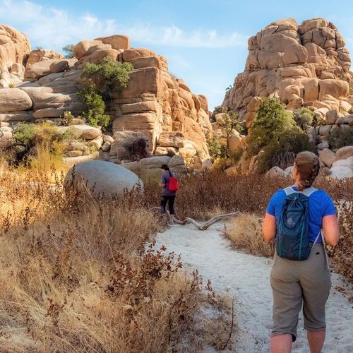
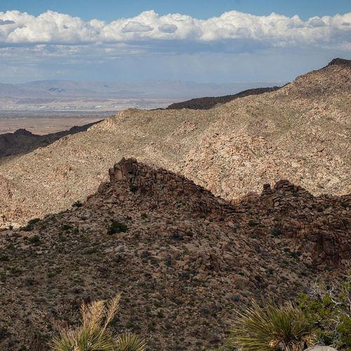
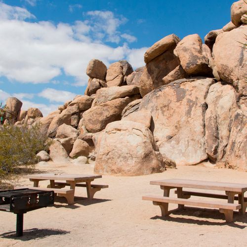
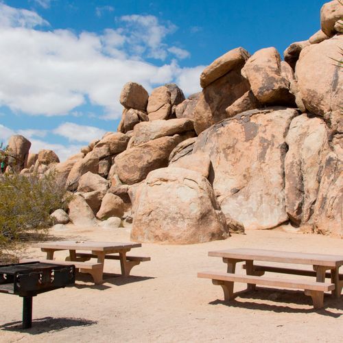
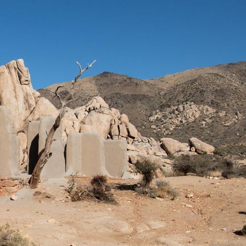
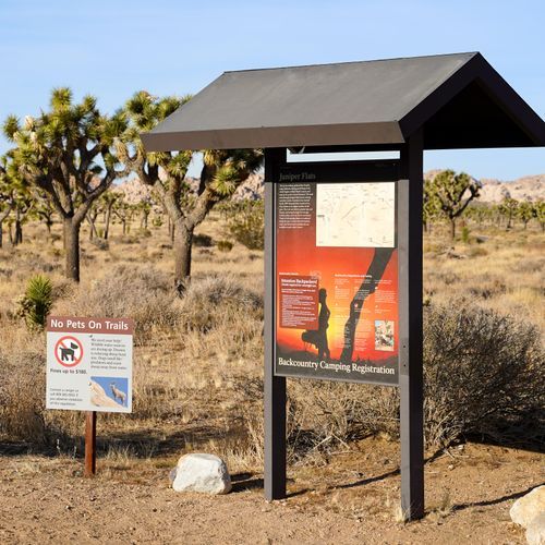
Joshua Tree National Park is a superb hiking park precisely because it is so approachable. With 75 trails in the park and a lineup dominated by easy walks, it caters beautifully to first-timers, families, photographers, and anyone who wants to step into the desert without committing to an all-day grind. Short nature trails and gentle loops introduce the park’s signature scenery—Joshua tree groves, cholla gardens, boulder piles, and quiet basins—while moderate hikes push farther into canyons, rocky terrain, and higher viewpoints. There are also a handful of difficult routes and one truly extreme outing, giving experienced hikers a chance to test themselves in a landscape that can feel both vast and unforgiving. The standout hikes are the ones that distill Joshua Tree’s singular character into a few memorable miles. Hidden Valley is the classic introduction, a compact, scenic walk through a rock-rimmed basin that feels like the park in miniature. Ryan Mountain is the go-to summit hike, delivering one of the best panoramic payoffs in the park, while trails to desert oases reveal a softer, unexpected side of this arid world. More adventurous hikers can seek out routes with scrambles, narrow passages, and a stronger sense of backcountry isolation, where the terrain becomes wilder and the silence deeper. What makes hiking here special is the atmosphere as much as the trail design. Joshua Tree is a place of startling textures and light: twisted trees, giant granite formations, open desert valleys, and skies that seem to go on forever. Even the easiest trail can feel cinematic, especially in the early morning or late afternoon when the low sun turns the rock gold and throws long shadows across the sand. This is hiking stripped to essentials—space, silence, stone, and sky—and that simplicity is exactly what makes it unforgettable.

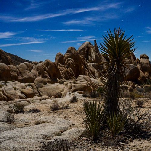
Arch Rock Trail

Arch Rock Trail

Easy1.1 mi

This trail leads to a stunning natural rock arch, a popular photography spot. The area offers additional exploration opportunities, including the nearby Heart Rock, a heart-shaped granite boulder. The trail traverses various terrains, including deep sand and rocky surfaces, and features interpretive signs highlighting the unique geology of the area.

Barker Dam Loop

Barker Dam Loop

Easy1.3 mi

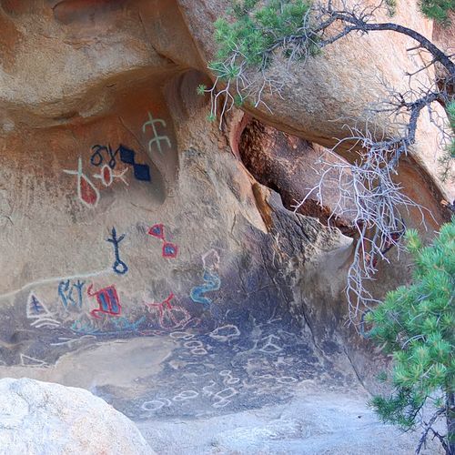
Wander through a stunning array of monzogranite boulders and iconic Joshua trees. The trail features a historic dam, once used for cattle ranching, and offers a glimpse into the past. Wildlife enthusiasts may spot desert bighorn sheep and various bird species. Along the way, explore ancient petroglyphs and enjoy the unique desert landscapes, which can include a serene lake or a dry lake bed, depending on the season.

Boy Scout Trail

Boy Scout Trail

Moderate8 mi

This trail traverses diverse desert landscapes, starting with Joshua Trees and transitioning into the rocky terrain of the Wonderland of Rocks. It descends through canyons to reach the Colorado Desert ecosystem, featuring yucca and cholla cactus. The trail offers panoramic views and is popular for both day hikes and backpacking trips.

Cap Rock Nature Trail

Cap Rock Nature Trail

Easy0.4 mi

This short loop winds through a Joshua tree woodland, showcasing diverse desert shrubs and monzogranite rock formations. Highlights include microhabitats like shady boulder crevices, where plants thrive in arid conditions. The trail offers a glimpse into the unique adaptations of desert flora.

Hidden Valley Trail

Hidden Valley Trail

Easy0.9 mi

This scenic loop traverses a valley enclosed by massive rock formations, offering breathtaking views and a glimpse into the Mojave Desert's unique ecosystem. The trail features interpretive signs highlighting local flora and fauna, making it an excellent introduction to the desert landscape. It's also a popular spot for rock climbing and photography, especially during golden hours.
Lost Horse Mine

Lost Horse Mine

Moderate4.1 mi

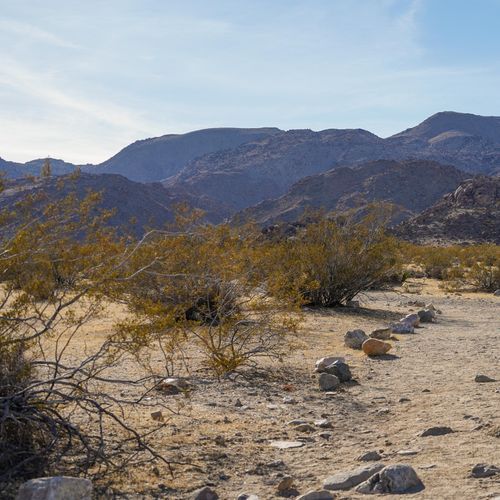
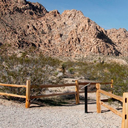
This trail leads to a well-preserved gold mine from the California Gold Rush era, offering scenic views of the Mojave Desert. The hike can be done as a shorter out-and-back to the mine or as a longer loop around Lost Horse Mountain, featuring diverse flora and historical mining sites.

Lost Palms Oasis Trail

Lost Palms Oasis Trail

Moderate7.6 mi

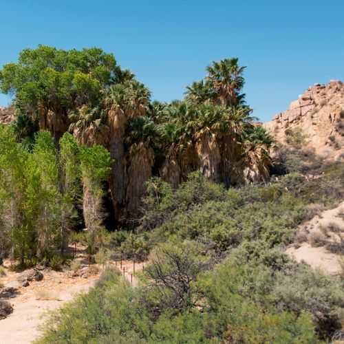
This trail leads to a picturesque desert oasis, known for its dense cluster of native California Fan Palms. The hike offers stunning views of the surrounding landscape, including nearby peaks and the Salton Sea. It's a great spot for wildlife viewing, particularly bighorn sheep, and offers opportunities for backcountry camping and exploring additional side trails.

Mastodon Mine Loop Trail

Mastodon Mine Loop Trail

Moderate2.4 mi

This trail offers a scenic hike through the southern part of the park, featuring a climb up stone steps to a granite peak with panoramic views. The trail also passes by the remnants of the Mastodon Mine, providing a glimpse into the region's mining history. The hike begins in a lush oasis with palm trees and continues through sandy and rocky terrain.

Ryan Mountain Trail

Ryan Mountain Trail

Difficult2.8 mi

This trail offers stunning panoramic views of the surrounding landscape, including Pinto Basin and Lost Horse Valley. It features a steep ascent with numerous stone steps, culminating in breathtaking vistas on a clear day. The summit is a prime spot for sunset viewing.

Skull Rock Nature Trail

Skull Rock Nature Trail

Easy1.8 mi

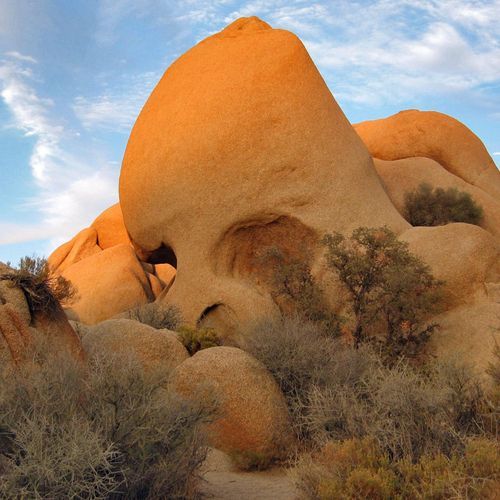
Meander through a landscape of large granite boulders, including the iconic Skull Rock, amidst Mojave mid-elevation mixed scrub and riparian corridors. The trail features interpretive signs highlighting local flora like cat’s claw acacia and desert almond. It crosses Park Boulevard, passing through Jumbo Rocks Campground before returning to the desert landscape.

Split Rock Trail

Split Rock Trail

Easy2.5 mi

This loop trail navigates through stunning desert landscapes, featuring iconic boulders and wide-open vistas. The trailhead is marked by the famous Split Rock, a massive boulder perfectly split in half. Hikers can enjoy scenic views and interesting rock formations, with opportunities for scrambling and exploration. The trail is well-marked and suitable for hikers of all ages, though it offers no shade and requires careful navigation during extreme weather conditions.

Barker Dam Trail

Barker Dam Trail

Easy1.7 mi

Weave through fascinating rock formations and a serene reservoir, encountering Joshua trees and historic landmarks. The trail offers a glimpse into the region's natural beauty and human history, including ancient petroglyphs and a chance to spot desert wildlife.

Cholla Cactus Garden Nature Trail

Cholla Cactus Garden Nature Trail

Easy0.2 mi

Stroll through a unique stand of thousands of teddy bear cholla cacti, known for their fuzzy appearance and sharp spines. Located in the transition zone between two deserts, this area offers scenic views of surrounding mountains. The trail is accessible and suitable for all ages, providing an educational experience with interpretive markers.

Lost Horse Mine Loop Trail

Lost Horse Mine Loop Trail

Moderate6.2 mi

This trail offers a blend of history and natural beauty, featuring the remnants of the Lost Horse Mine, expansive desert vistas, and groves of robust Joshua Trees. The loop provides varied terrain, including moderate inclines and scenic washes, making it a popular choice for hikers seeking both adventure and tranquility.

Berdoo / Thermal Canyon Trail

Berdoo / Thermal Canyon Trail

Easy0.8 mi

The trail traverses through Berdoo Canyon, offering stunning views of desert landscapes and unique rock formations. It is a moderately challenging route, suitable for those seeking a more remote experience.

Black Rock Canyon Trail

Black Rock Canyon Trail

Easy1.6 mi

This trail offers a serene hike through a sandy wash, surrounded by Joshua trees and desert shrubs. It's a great option for beginners due to its easy terrain and scenic views. The trail connects with other paths for those seeking longer adventures.

Burnt Hill Trail

Burnt Hill Trail

Moderate3.1 mi

This trail offers a mix of terrain, potentially including forests and open areas. However, specific details about its features and attractions are not available due to the lack of data.

California Riding and Hiking Trail

California Riding and Hiking Trail

Extreme46 mi

This trail traverses diverse landscapes, featuring valleys filled with Joshua trees, towering boulder piles, and springtime wildflowers. It offers a remote wilderness experience, suitable for backpackers and day hikers alike.

Climbing access: the old woman, and the blob

Easy0.2 mi

This short trail offers a quick ascent to unique rock formations known as the Old Woman and the Blob. It provides a brief yet engaging hiking experience with minimal elevation change, making it suitable for a variety of hikers.

Copper Mountain View

Copper Mountain View

Easy0.2 mi

Features a rugged desert terrain, offering panoramic views of the Mojave Desert and the San Bernardino Mountains. The trail winds through a landscape dotted with Joshua Trees, cholla cacti, and various desert shrubs. A highlight is the old Copper Mountain Mine, a remnant of the area's mining history. The trail's high elevation provides opportunities for wildlife sightings, including bighorn sheep, coyotes, and various bird species. Despite the harsh desert environment, a surprising variety of wildflowers can be seen in spring. The trail is best experienced in the cooler months to avoid the intense summer heat.

Cottonwood Spring Nature Trail

Cottonwood Spring Nature Trail

Easy0.6 mi

Walk through a picturesque desert landscape to a small spring surrounded by California fan palms. This area is rich in history, having been used by the Cahuilla Indians and later by prospectors. The trail offers opportunities for birding and exploring unique desert flora.

Discovery Trail

Discovery Trail

Easy0.4 mi

This trail offers a serene journey through varied natural settings, providing an opportunity to connect with nature. It features a mix of terrains and scenic views, making it an enjoyable experience for hikers.

Echo Tee Trail

Echo Tee Trail

Easy1.9 mi

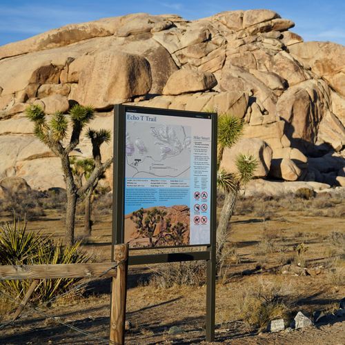
This trail offers a picturesque journey through a landscape dotted with Joshua Trees and distinctive rock formations. It serves as a connector between popular hiking areas, providing a glimpse into the park's diverse geological features.

Eureka Peak Trail

Eureka Peak Trail

Difficult4.5 mi

This trail offers panoramic views from its broad summit, set amidst Joshua trees, yucca, and cactus. The route traverses small canyons and features colorful foothills, providing a diverse landscape experience.

Fortynine Palms Trail

Fortynine Palms Trail

Easy1.5 mi

This trail leads to a vibrant desert oasis, offering a stark contrast to the arid landscape. The hike ascends over a ridge, providing scenic views before descending into the palm-filled canyon. The oasis is a haven for wildlife, especially during drought conditions.

Lost Horse Mountain

Lost Horse Mountain

Easy0.2 mi

This trail offers a scenic loop through Joshua Tree landscapes, featuring historic mine ruins and expansive views. The area includes diverse geological formations and a variety of flora, making it a popular destination for hikers interested in both natural beauty and historical sites.

Maze Loop Trail

Maze Loop Trail

Moderate4.9 mi

This trail winds through a unique landscape of large stone outcrops, massive boulders, and Joshua tree forests. It offers a blend of sandy washes and rocky ridgetops, providing sweeping views of the desert valley. The trail can be combined with others for a longer or shorter hike, making it suitable for a variety of hikers.

Oasis of Mara Trail

Oasis of Mara Trail

Easy0.5 mi

This trail leads to a vibrant oasis of California fan palms, offering a serene escape from the desert landscape. The area is rich in history and wildlife, with interpretive signs detailing its significance. Visitors can enjoy spotting various birds and other desert wildlife amidst the palms.

Paac Kü̱vü̱hü̱’k Trail

Paac Kü̱vü̱hü̱’k Trail

Moderate4.3 mi

This trail offers scenic views of diverse landscapes, with opportunities to observe wildlife in their natural habitats. The varied terrain provides a challenging yet rewarding experience for hikers.

Panorama Trail

Panorama Trail

Moderate3.2 mi

This trail offers breathtaking views of Half Dome and descends past three stunning waterfalls—Nevada Fall, Vernal Fall, and Illilouette Fall—before reaching the valley floor. It traverses through diverse landscapes, including forests and granite cliffs, providing a comprehensive experience of the park's natural beauty.

Pine City Trail

Pine City Trail

Easy2.2 mi

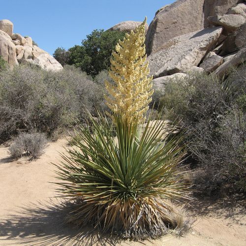
This trail offers a serene desert experience, featuring a variety of Mojave flora, including Joshua trees, yucca, and silver cholla. The path leads to a unique microclimate where pinyon pines thrive among large boulders, providing shade and scenic views. The area invites exploration and relaxation, with opportunities for rock scrambling and enjoying the solitude of the desert landscape.

Stubbe Springs Loop Trail

Stubbe Springs Loop Trail

Moderate5.8 mi

This trail begins in an open valley filled with grasses, desert shrubs, and Joshua trees. It then passes through scenic high points, canyons, and mountainous terrain with Pinyon pines and juniper. The loop includes Stubbe Springs, a natural water source surrounded by thick vegetation, and offers an optional spur trail to the Fan Canyon Overlook with stunning views of the Coachella Valley.

To Headstone Rock

To Headstone Rock

Easy0.1 mi

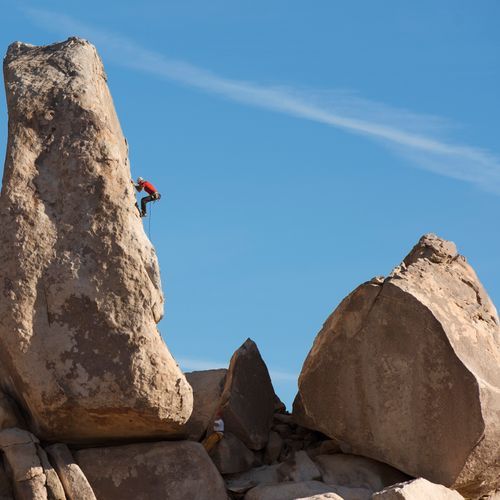
This trail leads to a striking rock formation known for its challenging climbing routes. The approach involves some scrambling, culminating in breathtaking views from the top. Popular among rock climbers, it offers routes like the Southwest Corner and Cryptic.

Wall Street Mill Trail

Wall Street Mill Trail

Easy1.1 mi

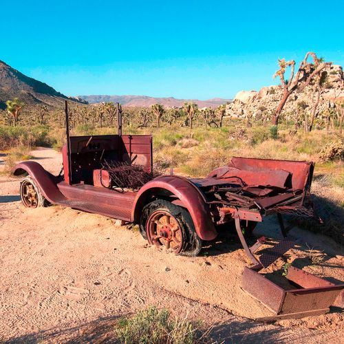
This trail leads to the well-preserved Wall Street Mill, a significant gold ore processing site from the early 20th century. Along the way, hikers pass by abandoned vehicles, an old windmill, and the memorial for Worth Bagley, marking a spot of historical conflict. The trail offers a glimpse into the region's mining past, set against the unique backdrop of Joshua Tree's desert flora and granite formations.

Warren Peak Trail

Warren Peak Trail

Moderate3.5 mi

This trail leads to a scenic peak, offering panoramic views of the surrounding Joshua Tree landscape. It features a mix of desert terrain and unique rock formations, providing a quintessential Joshua Tree hiking experience.

West Side Loop Trail

West Side Loop Trail

Difficult3.6 mi

Hike through dense groves of Joshua trees and pinyon pines, offering stunning views of Mount San Jacinto and San Gorgonio Mountain. The trail follows a series of ridges and washes, providing a scenic experience in a remote area of the park.

Willow Hole Trail

Willow Hole Trail

Easy2.2 mi

Venture into a labyrinth of cliffs, canyons, and domes, culminating in a serene oasis. This trail offers expansive desert views and a chance to spot wildlife like bighorn sheep. The path winds through sandy washes and stunning rock formations, making it a quintessential desert adventure.

Astrodome Approach Trail

Easy0.8 mi

This trail leads to the South Astro Dome, a significant landmark in the park's Wonderland of Rocks area. The route offers stunning views of unique rock formations and is part of a larger network of trails that explore the park's diverse geological features.

Bajada Nature Trail

Bajada Nature Trail

Easy0.3 mi

This short loop trail offers a glimpse into the unique plant life of a desert bajada, featuring creosote bushes, brittlebush, ironwood, and palo verde trees. Interpretive signs provide insights into the adaptations and ecology of these desert plants. The trail is particularly vibrant after wet winters when wildflowers bloom.

Big Pine Trail

Easy1.7 mi

No description available

Bigfoot Trail

Moderate4.3 mi

This trail traverses six wilderness areas, one national park, and one state park, showcasing 32 species of conifers. It offers breathtaking views of Mt. Shasta and the Trinity Alps, along with alpine lakes and coastal redwoods. The solitude and varied terrain make it a challenging yet rewarding experience for experienced hikers.

Burro Loop Trail

Moderate4.2 mi

This trail offers a diverse hiking experience, traversing through different terrains and potentially offering scenic views and wildlife encounters. However, specific details about this trail are not available in the provided sources.

Canyon View Trail

Easy1.4 mi

No description available

Contact Mine Trail

Contact Mine Trail

Easy1.9 mi

This trail ascends through a desert wash and canyon to a historic mine site, offering insights into the region's mining past. The journey features rugged mountains, unique rock formations, and iconic Joshua trees, providing a rich experience of the desert's biodiversity and geological beauty.

Fried Liver Wash Corridor

Moderate4.5 mi

No description available

Hexehedron Main Trail

Easy1.6 mi

This trail leads to the remnants of an old mine, offering stunning views of the surrounding desert landscape. The hike involves traversing through washes and following old wagon roads, culminating in the exploration of historical mining sites. The area is rich in mining history and provides a glimpse into the lives of early miners.

Indian Cove Trail

Indian Cove Trail

Easy0.7 mi

This short loop trail offers a quiet escape, featuring interpretive signs about local flora, fauna, and historical Native American presence. The area is known for its unique rock formations and vibrant spring wildflowers, making it a charming detour for those visiting the region.

Lucky Boy Vista Loop

Lucky Boy Vista Loop

Easy1.1 mi

This loop trail offers scenic views across a vast expanse of undulating terrain dotted with boulders and Joshua trees. It includes a visit to the remnants of the Elton Mine, providing a glimpse into the region's mining history. The trail traverses through shallow drainages and past low cliffs, offering a serene desert experience.

North Canyon Trail

Easy1.8 mi

Hike through unique desert environments featuring Joshua trees and diverse geological formations. The trail offers scenic canyon views and a chance to experience the park's natural beauty.

North Side Trail

Easy1.7 mi

No description available

North View

North View

Moderate3 mi

No description available

Quail Springs Historic Trail

Quail Springs Historic Trail

Easy0.3 mi

This trail offers a journey through the desert landscape of Joshua Tree, featuring unique rock formations and diverse flora. It provides a glimpse into the region's history and natural beauty, with opportunities to explore surrounding areas like the Lang Mine.

Quail Wash

Quail Wash

Moderate4.8 mi

Navigate through open valleys and rocky canyons, with Quail Mountain and Mount Minerva Hoyt offering scenic backdrops. The trail requires off-trail navigation skills for summit attempts, providing a challenging yet rewarding experience for hikers.

Quails Springs Historic

Quails Springs Historic

Easy2.4 mi

This trail offers a mix of hiking through washes and scrambling over boulders, providing spectacular views of the surrounding landscape. It is a moderately challenging route that allows for activities like hiking and horseback riding, though the latter half becomes more rugged.

Ryan Ranch Trail

Ryan Ranch Trail

Easy0.5 mi

This short hike follows an old ranch road to a historic adobe structure, offering views of the surrounding landscape. The trail is a great place to learn about the park's history and enjoy peaceful solitude.

Sheep Pass Connector Trail

Easy1 mi

This trail provides a tranquil experience, connecting hikers through a variety of landscapes. It is designed for those looking for a shorter, easy hike with natural beauty.

Window Loop Trail

Easy1.8 mi

This scenic loop features the North and South Windows, along with Turret Arch, offering stunning views of these natural wonders. The trail also includes an optional primitive loop for a more secluded experience, showcasing unique rock formations and desert vegetation.

Big Trees Loop Trail

Big Trees Loop Trail

Easy2.6 mi

This trail winds through an impressive forest of giant sequoias, offering interpretive panels that highlight the life and ecology of these unique trees. The loop is relatively flat and accessible, making it suitable for all visitors.

Boundary Trail East

Easy1.3 mi

No description available

Burro Loop Access Trail

Easy0.6 mi

This trail offers a gentle journey through varied terrain, providing an accessible experience for hikers of all skill levels. The loop design allows for a convenient return to the starting point, making it suitable for families and those seeking a shorter adventure.

Cliff Trail

Easy0.9 mi

This trail offers stunning views from a ridge, featuring diverse landscapes and scenic overlooks. It provides an accessible hiking experience with a moderate elevation change, suitable for a variety of visitors.

Creosote Trail

Easy0.6 mi

This trail offers a peaceful hike through a desert landscape dominated by creosote bushes, providing a less crowded experience. The trail's easy terrain makes it accessible for casual hikers seeking solitude.

Mary Trail

Easy2.2 mi

No description available

Morongo View Trail

Easy0.2 mi

This trail offers scenic views of the surrounding landscape, featuring a mix of desert flora and unique rock formations. It provides a serene hiking experience with opportunities to observe local wildlife.

Nature Trail

Easy0.1 mi

This short trail offers a peaceful walk through a forested area, providing an opportunity to connect with nature in a serene environment.

Outlaw Mine Road

Moderate5.2 mi

This trail offers a rugged experience with its dirt surface and varied terrain. It is ideal for those seeking a more secluded and challenging hike.

Pushawalla Canyon Corridor

Easy0.3 mi

This trail offers a tranquil desert experience, featuring unique geological formations and possibly rare desert flora. The area's natural beauty is enhanced by its proximity to significant fault lines, which influence local ecosystems.

Queen Valley Trail

Easy1.4 mi

This trail traverses through a desert landscape filled with Joshua trees and various cacti species. The area offers a glimpse into the park's diverse flora and geological formations. Visitors can enjoy the solitude and natural beauty of the desert environment.

Rocky View Trail

Easy1.3 mi

No description available

Samuelson West Trail

Easy1.1 mi

This trail leads to a fascinating area featuring historical rock carvings by John Samuelson. The hike traverses through open desert landscapes dotted with Joshua trees and offers a glimpse into the region's past. The lack of signage and official trails adds to the adventure, making it a hidden gem for those willing to explore.

Spike's Run

Moderate2.7 mi

This trail offers a diverse hiking experience through a scenic forest, featuring varied terrain and natural beauty. The moderate difficulty level makes it suitable for a wide range of hikers.

Trail to Varnished Wall

Easy0.1 mi

This trail leads to the Varnished Wall, a distinctive rock formation known for its grayish-brown color. The area offers opportunities for trad climbing and scenic views. The trail is short and relatively easy, making it accessible for a variety of visitors.

West Access Trail

Easy1.1 mi

This trail offers a gentle stroll through diverse natural settings, providing an opportunity to observe local flora and fauna. The short distance makes it suitable for families or those seeking a quick outdoor excursion.

Zulu Queen Mine Road

Moderate4.3 mi

x-country route

Moderate3.1 mi

This trail offers a gentle journey through rolling hills and scenic vistas, providing an enjoyable experience for hikers of all skill levels. The landscape is dotted with natural landmarks and offers a serene escape from the hustle and bustle of daily life.

Get offline trail maps and detailed hiking info in the Parka app

Download Parka — It's Free

Get offline trail maps for Joshua Tree National Park

Free on the App Store

Get Parka

Why Park Lovers Choose Parka

Trip Planner

All the tools for epic adventures

Works Offline

Fully functional without cell service

Updated Weekly

Trail conditions, alerts, and closures

Try Risk-Free

7-day free trial, cancel anytime

Start Your 7-Day Free Trial

Unlock everything you need for your next national park trip. Your first week is on us!

National Park vista

Start your adventure today

Download Parka and plan your perfect national park trip in minutes.