ParkaDownload
Grand Canyon National Park

Things to Do in Grand Canyon National Park

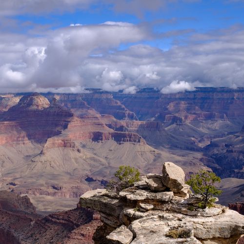
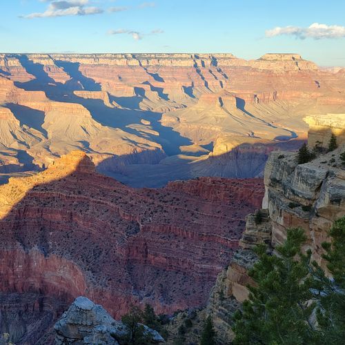
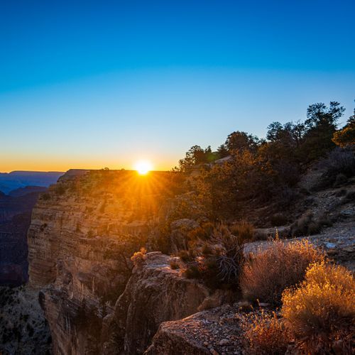
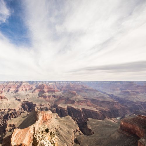
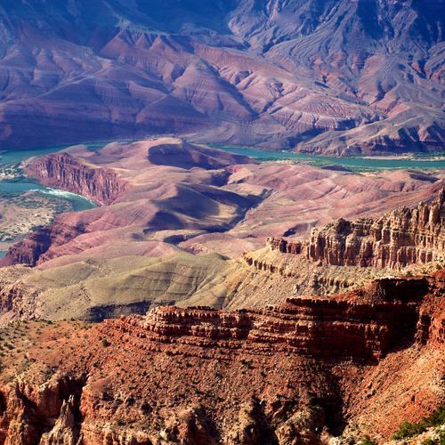
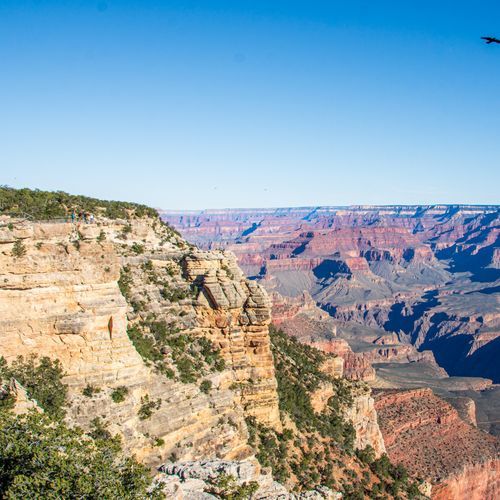
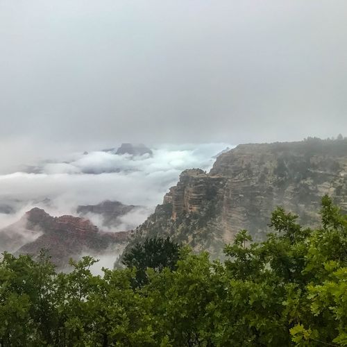
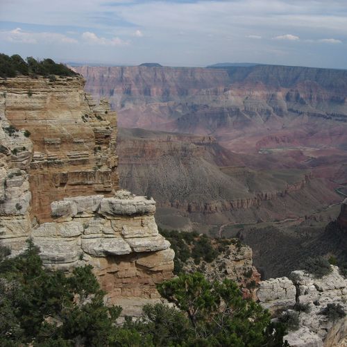
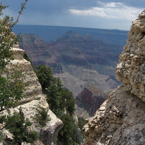
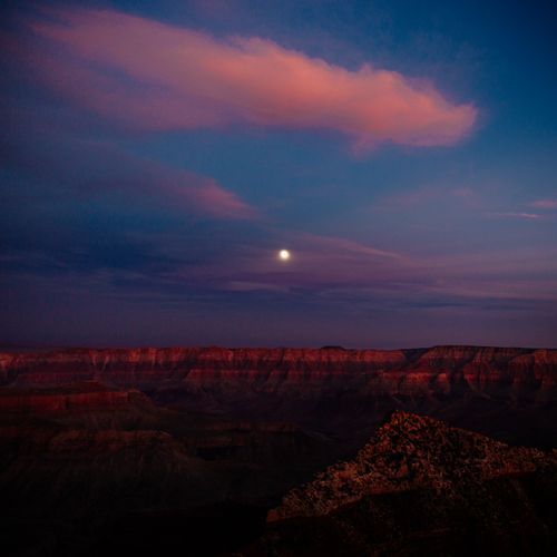
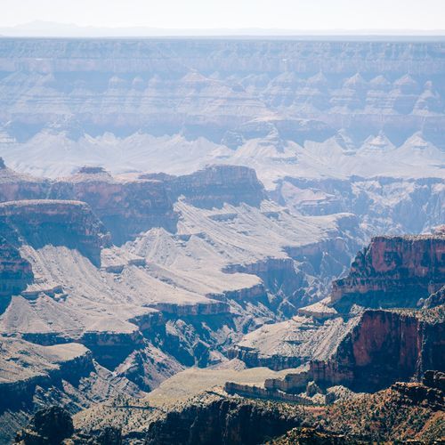
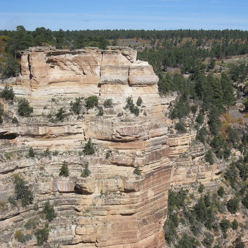
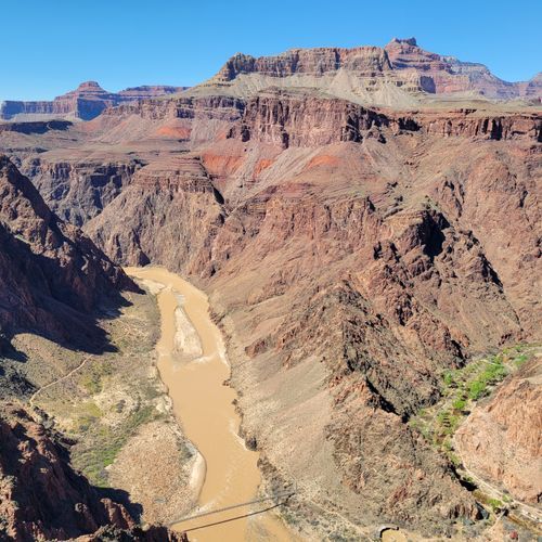
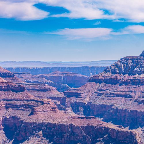
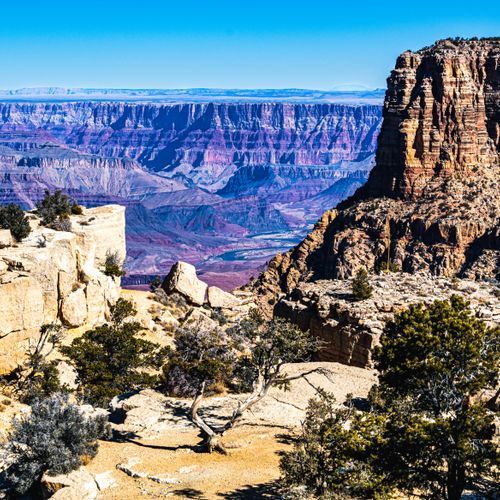
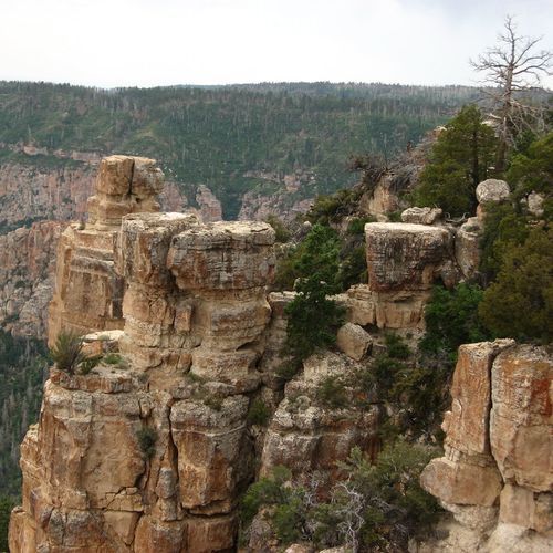
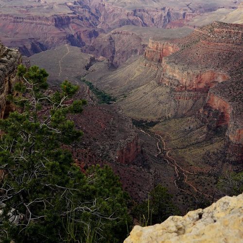
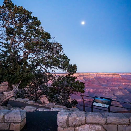
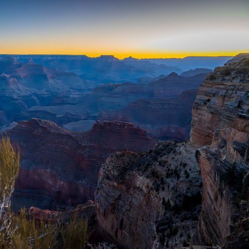
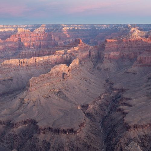
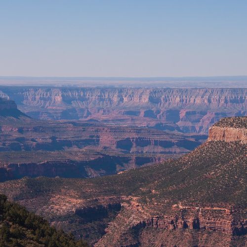
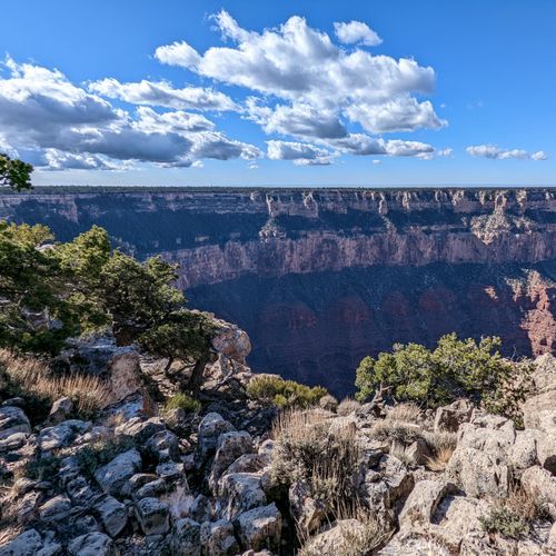
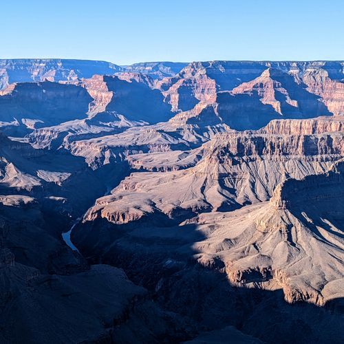
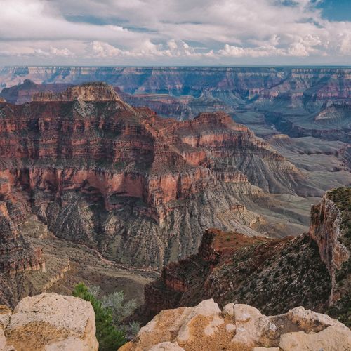
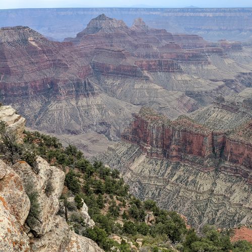
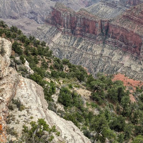
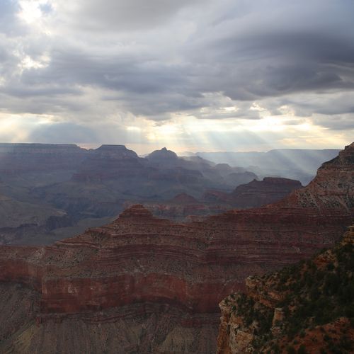
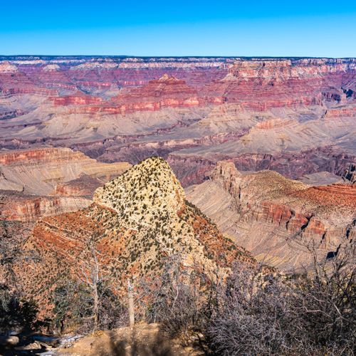
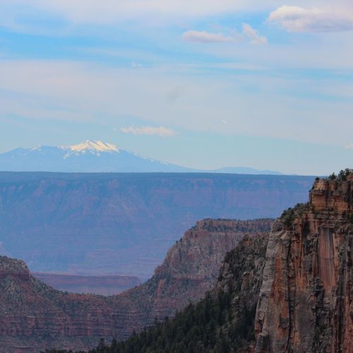
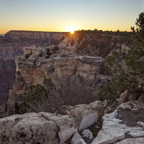
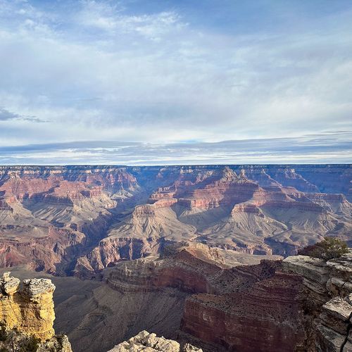
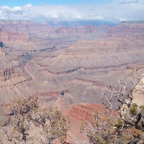
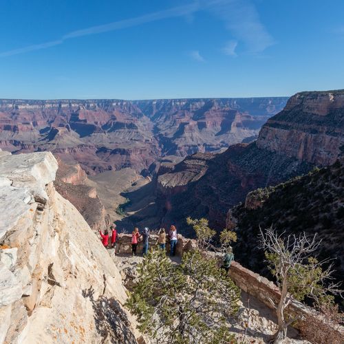
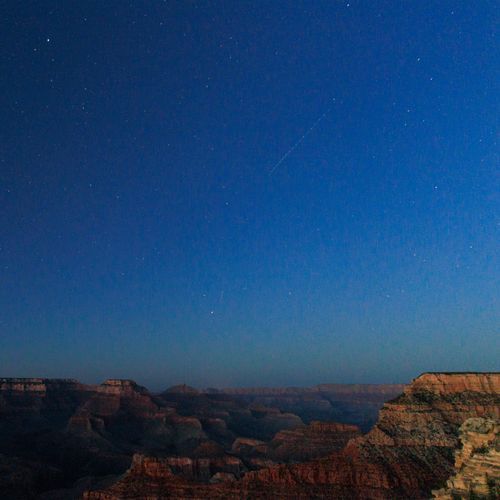
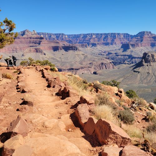
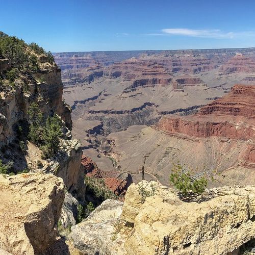
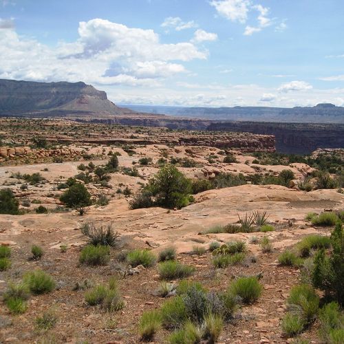
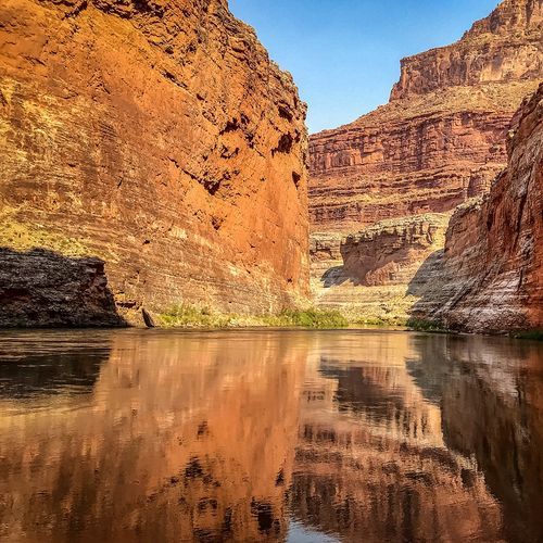
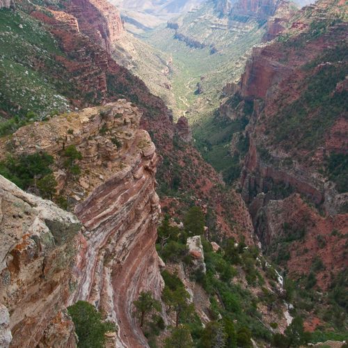
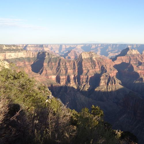
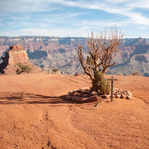
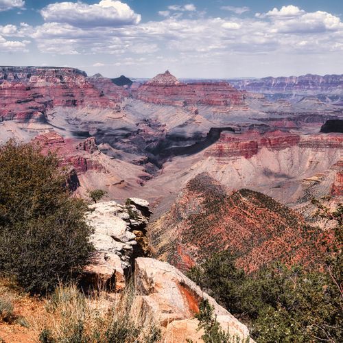
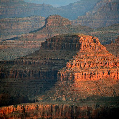
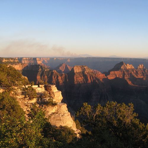
Grand Canyon National Park delivers far more than trail miles. The classic way to experience it is by working the rim, stopping at the park’s great viewpoints and letting the scale reveal itself from different angles. On the South Rim, Mather Point, Yavapai Point, Mohave Point, Grandview Point, Moran Point, and Desert View each frame the canyon differently, from broad layered panoramas to deep looks toward the Colorado River. Desert View Watchtower is a standout, pairing one of the park’s most dramatic overlooks with historic architecture and a sense of place that feels inseparable from the canyon itself. On the North Rim, Point Imperial, Bright Angel Point, and Cape Royal offer a quieter, more elevated experience, with huge perspectives, superb sunrise and sunset light, and some of the most contemplative canyon scenery anywhere in the park. Beyond the overlooks, the park’s villages and historic stops reward slower exploration. Grand Canyon Village is full of character, with landmarks like Kolb Studio, Hopi House, Lookout Studio, the Train Depot, and the grand old lodges along the rim. Families should make time for the Trail of Time, a clever and engaging walk that turns geology into something you can actually grasp, while ranger programs, guided walks, evening talks, and the Tusayan Museum and Ruin add context that makes the landscape even richer. Scenic driving is another essential experience, especially along Desert View Drive, where the pullouts come one after another and the canyon seems to keep reinventing itself around every bend. For something more unusual, trade the rim for the water or the sky. River trips on the Colorado, from smooth-water outings to legendary whitewater adventures, reveal the canyon from its most powerful angle, with the walls rising overhead in a way no overlook can match. Helicopter flights deliver a completely different sense of the canyon’s immensity, especially for travelers short on time or looking for a once-in-a-lifetime splurge. If you want a relaxed place to linger near the river, the park’s beaches and shoreline areas offer a rare chance to experience the canyon at water level, where the mood shifts from vast and theatrical to intimate and elemental. Add in biking along the rim and sunset watching from the lodges or overlooks, and Grand Canyon quickly proves itself to be a park where you never need to hike deep below the rim to have an extraordinary visit.

Vista Encantada

Vista Encantada

viewpointNorth Rim

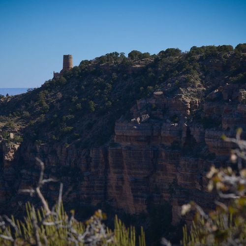
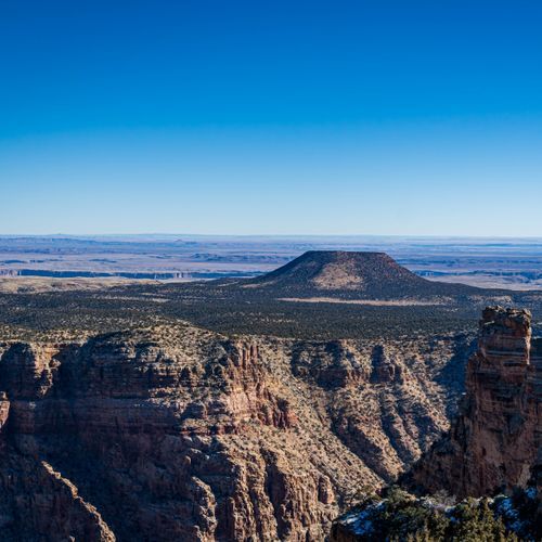
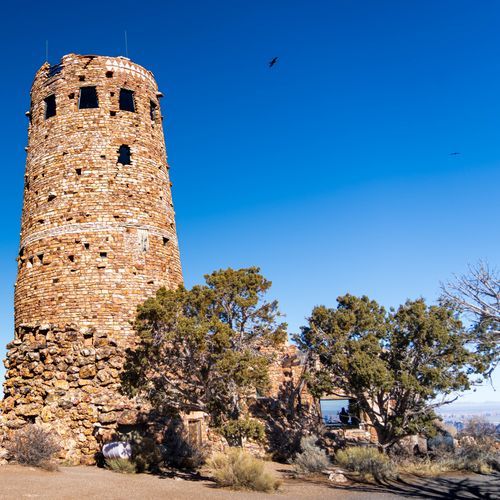
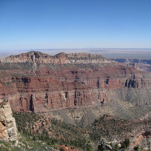
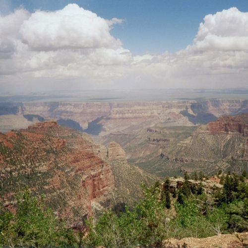
Perched on the canyon rim, Vista Encantada in the Desert View area features a Watchtower modeled on Ancestral Puebloan architecture with large picture windows framing sweeping views of vermilion peaks and the river-carved gorge. The East Entrance here is open 24/7 and Desert View Drive is a 23-mile scenic road; visitor services include a trading post, market and 24-hour pay-at-pump gas (camping supplies in summer), and the Tusayan Pueblo self-guiding trail lies 3 miles west (closed for winter).

Plateau Point

Plateau Point

viewpointSouth Rim
Mather Point

Mather Point

viewpointSouth Rim
Mohave Point

Mohave Point

viewpointSouth Rim

Mohave Point offers sweeping, dramatic views of the Colorado River plunging deep into the canyon and is a spectacular spot for sunrise and sunset. Located on the South Rim between Hopi Point and The Abyss, it's 0.8 miles east to Hopi Point and 1.1 miles west to The Abyss via dirt trails, making it a convenient stop between other overlooks.

Powell Point

Powell Point

viewpointSouth Rim

Powell Point’s memorial pays tribute to Major John Wesley Powell and his remarkable Colorado River expeditions in the 19th century. Visitors are treated to breathtaking canyon vistas from this viewpoint, showcasing the majestic beauty of the South Rim. Conveniently situated between Hopi Point and Maricopa Point, Powell Point is an easy and scenic stop for those exploring the surrounding overlooks.

Shoshone Point

Shoshone Point

viewpointSouth Rim
Yaki Point

Yaki Point

viewpointSouth Rim

Yaki Point is a scenic viewpoint on the South Rim, providing direct access to the South Kaibab Trailhead. This peaceful location is accessible only via the park's free shuttle, enhancing your experience away from the busier areas. Enjoy the stunning views while riding the Eastbound Kaibab Rim (Orange) Route from the South Rim Visitor Center, as private vehicle access is restricted year-round, except for those with an accessibility permit.

Coconino Overlook

Coconino Overlook

viewpointNorth Rim
Viewpoint

Viewpoint

viewpointSouth Rim
Viewpoint

Viewpoint

viewpointSouth Rim
Viewpoint

Viewpoint

viewpointSouth Rim
Bourke Point View

Bourke Point View

viewpointNorth Rim
Bison Watching Spot

Bison Watching Spot

viewpointNorth Rim

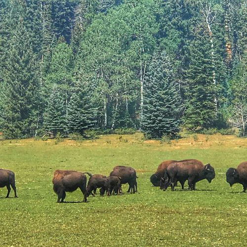
This North Rim viewpoint is the only place in Grand Canyon National Park where bison occur, offering rare wildlife encounters. Bison are wild and unpredictable, so stay at least 100 feet (30 m) away; if they are within that distance of the road, view them from inside your vehicle and use established pull-outs, parking completely off the roadway (all wheels right of white line). Bring binoculars or telephoto lens and consider dawn or dusk for better light and wildlife activity.

Walhalla Overlook

Walhalla Overlook

viewpointNorth Rim

Walhalla Overlook on the North Rim sits atop Walhalla Plateau, a peninsula surrounded on three sides by the canyon, and looks out over Walhalla Glades Pueblo, a summer home site occupied about 900 years ago. Because the plateau is a bit lower than much of the North Rim, visitors can feel warm updrafts from the inner canyon; brochures describe the pueblo but the sources here do not give trail or access details.

Roosevelt Lookout

Roosevelt Lookout

viewpointNorth Rim

Roosevelt Lookout is a short, secluded woodland loop that delivers spectacular canyon views and quiet benches for relaxed enjoyment of the North Rim scenery. The Roosevelt Point Trail is about 0.2 mi (0.3 km) round-trip and typically takes roughly 20 minutes; the trail begins at the southeast side of the Cape Royal parking area, making it an easy, accessible stop during a North Rim visit.
Navajo Point

Navajo Point

viewpointSouth Rim

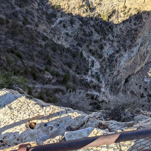
Navajo Point, at Mile Marker 264 and elevation 7,461 ft, is the South Rim's highest overlook and delivers sweeping, panoramic vistas to the west and north up the Colorado River. Located just a few minutes west of the Desert View Watchtower, it offers a dramatic view of the tower below (the watchtower's observation deck rises only slightly higher) and is an ideal stop for enjoying high-elevation panoramic canyon views.

Bright Angel Point

Bright Angel Point

viewpointNorth Rim

Bright Angel Point on the North Rim delivers dramatic, close-in views of the Bright Angel Trail winding through the canyon and the Historic District with the prominent El Tovar Hotel, all framed by guardrail-lined overlooks near the Grand Canyon Lodge. Several sets of stairs lead to two main viewing areas; viewpoints draw crowds, so set up early for a memorable sunset from the lodge patio and dining-room area.

Cape Royal

Cape Royal

viewpointNorth Rim

Perched on the North Rim, Cape Royal provides sweeping canyon and Colorado River views and access to several trails: Cliff Springs (1.0 mi/1.6 km round-trip, ~1 hour), Cape Final (4.0 mi/6.4 km round-trip, ~2 hours) and Roosevelt Point (0.2 mi, ~20 minutes). Access is seasonal - North Rim roads close for winter. Bicycling the narrow, winding roads is not recommended.

Viewpoint

Viewpoint

viewpointNorth Rim
Angel’s Window

Angel’s Window

viewpointNorth Rim
Phantom Overlook

Phantom Overlook

viewpointNorth Rim
Colorado River View

Colorado River View

viewpointNorth Rim
Toroweap Overlook

Toroweap Overlook

viewpointSouth Rim

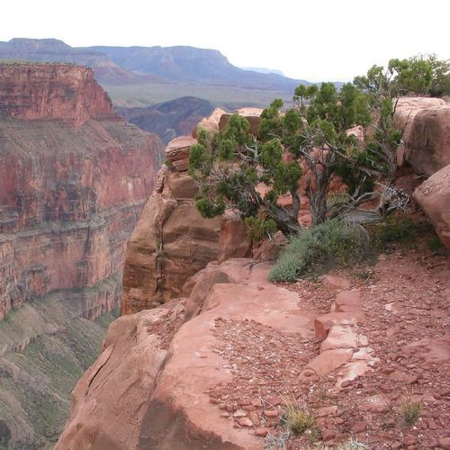
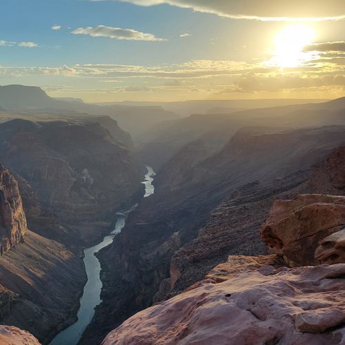
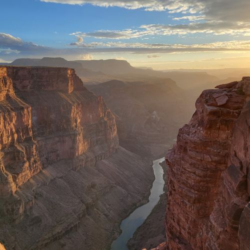
Toroweap Overlook on the northwest (Tuweep) rim offers a unique 3,000-foot (915 m) sheer drop to the Colorado River and a dramatic, uncrowded view; walk to the edge to hear the river's roar. This remote, primitive area has no water, gas, food, lodging, Wi‑Fi, or cell service; access needs high-clearance dirt roads from St. George, UT or Fredonia, AZ, and visitors must stay on trails or rock to protect fragile biological soil crusts and native plants.

Mary Jane Coulter Lookout

Mary Jane Coulter Lookout

viewpointSouth Rim

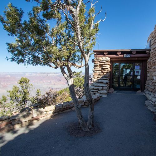
What makes Mary Jane Coulter Lookout special is that it’s a Mary Colter–designed Lookout Studio (built in 1914) on the South Rim, offering a commanding view down to Bright Angel Trail. Inside the studio visitors can browse photography, artwork, books, souvenirs, and rock and fossil specimens while enjoying one of the park’s classic canyon overlooks.

Viewpoint

Viewpoint

viewpointSouth Rim
Viewpoint

Viewpoint

viewpointSouth Rim
Lipan Point

Lipan Point

viewpointSouth Rim

Lipan Point (elevation 7,360 ft / 2,243 m; Mile Marker 263.5) projects a dramatic cliff with a tower into the canyon, offering rare, expansive views of the Colorado River corridor including powerful Hance Rapid, the ancestral Puebloan Unkar Delta, and the distinctive Grand Canyon Supergroup rock strata visible from only a few South Rim overlooks. Located on the South Rim, Lipan sits among a string of viewpoints and trails, with nearby stops including Hopi Point, Powell Point, and Maricopa Point.

Moran Point

Moran Point

viewpointSouth Rim

Perched at Mile Marker 258 and 7,160 feet elevation, Moran Point offers a dramatic, color-rich panorama where three major rock groups, Layered Paleozoic rocks, the Grand Canyon Supergroup, and ancient Basement rocks, are clearly visible. A low stone wall surrounds a bare viewing area with interpretive signs and pine backdrops; visitors can also spot the outline of a large kiva within a nearby pueblo, making this an excellent stop for geology and cultural interpretation.

Viewpoint

Viewpoint

viewpointNorth Rim
Point Imperial

Point Imperial

viewpointNorth Rim

Point Imperial is the North Rim's highest viewpoint, towering over 2,500 feet above the opposite rim and offering sweeping views down into Nankoweap Basin and toward Mount Hayden, with the vast Painted Desert and the Navajo Nation anchoring the eastern horizon. It is renowned for its reliably jaw‑dropping dawns, where the sun truly rises over the distant horizon. Arrive early to claim a spot at the guardrail-lined viewpoints, as they draw crowds.

Trailview Overlook

Trailview Overlook

viewpointSouth Rim

Trailview Overlook offers exceptional views of the Bright Angel Trail as it switchbacks into the canyon and of the South Rim’s Historic District, including the prominent El Tovar Hotel. Several stairways lead to two main viewing areas set on a cliff; the paved Rim Trail links Trailview 0.7 miles to Maricopa Point (west) and 0.7 miles to the Hermits Rest Transfer/Transfer Station (east), with a steep hill formed by the Bright Angel Fault on the approach.

Viewpoint

Viewpoint

viewpointSouth Rim
Maricopa Point

Maricopa Point

viewpointSouth Rim

Maricopa Point offers sweeping South Rim vistas and a unique look over the historic Orphan Lode Mine, claimed in 1891 by miner Dan Hogan who later mined uranium until operations ceased in 1967. The viewpoint sits along the Canyon Rim Trail and is about 0.5 miles (0.8 km) west to Powell Point via paved then dirt trail, and 0.7 miles (1.1 km) east to Trailview Overlook on a paved trail, making it an easy, scenic stop between overlooks.

Hopi Point

Hopi Point

viewpointSouth Rim

Perched on the South Rim, Hopi Point is prized for its sweeping, wide vistas that make it one of the most popular spots for sunrise and sunset viewing. The Colorado River comes into view to the west; restrooms are available, and dirt trails link Hopi Point to Mohave Point (0.8 mi / 1.3 km west) and Powell Point (0.3 mi / 0.5 km east).

Pima Point

Pima Point

viewpointSouth Rim

Pima Point is one of the best spots on the South Rim to see, and on quiet days even hear, the Colorado River, as the splash and grind of Granite Rapids echoes up the canyon walls. The paved Greenway Trail continues west 1.1 miles (1.8 km) to Hermits Rest and east 1.7 miles (2.7 km) to Monument Creek Vista, and it allows bicyclists and visitors using wheelchairs to share the path with pedestrians.

Viewpoint

Viewpoint

viewpointSouth Rim
Pima point

Pima point

viewpointSouth Rim

Pima Point is one of the South Rim’s best viewpoints to see, and on quiet days even hear, the Colorado River far below, where the splash and grind of Granite Rapids echo up the canyon walls. The paved Greenway Trail runs through Pima Point, linking east to Monument Creek Vista (1.7 miles / 2.7 km) and west to Hermits Rest (1.1 miles / 1.8 km), and is shared by pedestrians, bicyclists, and visitors using wheelchairs.

Hermits Rest Viewpoint

Hermits Rest Viewpoint

viewpointSouth Rim

Hermits Rest, at the western end of Hermit Road seven miles west of Grand Canyon Village, is Mary Colter's 1914 stone-and-log building fashioned like an old miner's cabin with a giant alcove fireplace and a front porch. A gift shop and snack bar (open 9 am–5 pm), restrooms and a water-bottle filling station are on site; from March 1–November 30 access is by the Hermit (Red) Route shuttle, on foot, or by bicycle, and the Hermit Trail starts 0.5 miles west.

Fire Point

Fire Point

viewpointNorth Rim
Toroweap Point

Toroweap Point

viewpointSouth Rim

Toroweap Overlook presents a dramatic, sheer 3,000-foot (915 m) drop to the Colorado River, a breathtaking viewpoint on the Grand Canyon’s northwest rim. This remote Tuweep area is managed for a rustic, uncrowded wilderness experience and offers minimal services: there is no water, gas, food, lodging, Wi‑Fi, or cell service, and access requires skill on high‑clearance dirt roads from St. George, Utah or Fredonia, Arizona; watch your step and protect fragile biological soil crusts.

Pipecreek Vista

Pipecreek Vista

viewpointSouth Rim

Pipe Creek Vista, the first canyon view along Desert View Drive, features rounded pale rock formations that stand against the Grand Canyon and invite imaginative shapes. At Mile Marker 242.5 the pullout is reachable by private vehicle or the free Kaibab Rim (Orange Route) shuttle; expect congestion and limited parking, and use the Canyon Rim Trail, 1.3 miles (2.1 km) west to Mather Point or 0.8 mile (1.3 km) east to the South Kaibab Trailhead.

Toroweap Photopoint

Toroweap Photopoint

viewpointSouth Rim

Toroweap Photopoint crowns a remote north-side rim with a vertigo-inducing, sheer 3,000-foot (914–915 m) drop to the Colorado River, offering one of the Grand Canyon’s most dramatic and photographic overlooks on the northwest Arizona Strip. Located in primitive Tuweep, the area is managed for minimal services; access can be challenging, the road to the campground often requires a high-clearance vehicle, and facilities are limited (no water, composting toilets). Arrive by sunset and pack out all trash.

Viewpoint

Viewpoint

viewpointSouth Rim
Bright Angel Trailhead

Bright Angel Trailhead

viewpointSouth Rim

Perched above the South Rim, the Bright Angel Trailhead viewpoint offers sweeping views of the Bright Angel Trail as it switchbacks into the canyon and the historic village, including the prominent El Tovar Hotel. Several stairways lead to two main viewing areas. The Bright Angel Trail begins just west of Bright Angel Lodge, offering steep day hikes up to 12 miles with some shaded sections. Water is available seasonally along the trail.

Point Sublime

Point Sublime

viewpointNorth Rim
Viewpoint

Viewpoint

viewpointNorth Rim
Viewpoint

Viewpoint

viewpointNorth Rim
Viewpoint

Viewpoint

viewpointSouth Rim
Grandview Point

Grandview Point

viewpointSouth Rim

Grandview Point (elevation 7,399 ft; Mile Marker 251) offers sweeping panoramic views of the Grand Canyon from east to west, including several bends of the Colorado River and striking red cliffs often speckled with snow. The historic Grandview Trail starts here - be aware it is VERY steep; in summer much of the trail is in full sun and in winter ice and snow can make hiking treacherous. Nearby Moran Point adds a wide palette of colors to the vista.

Overlook

Overlook

viewpointNorth Rim
Yavapai Point

Yavapai Point

viewpointSouth Rim

Yavapai Point offers one of the best vantage points for an overview of Grand Canyon geology, anchored by the Yavapai Geology Museum perched on the canyon rim. The rustic stone museum features large picture windows, geology exhibits and a bookstore; practical amenities include a nearby parking lot with restrooms in a separate building and a shuttle-bus stop.

Mather Point Amphitheatre

Mather Point Amphitheatre

viewpointSouth Rim
The Abyss

The Abyss

viewpointSouth Rim

The Abyss offers an almost vertical view down into the Monument Creek drainage and over a limestone pillar beside a 3,000-foot stratified cliff of reddish layers topped by a white rim, looking northeast from the Monument Creek shuttle stop. It sits on dirt trails 0.9 miles (1.4 km) west of Monument Creek Vista and 1.1 miles (1.8 km) east of Mohave Point; backpackers often camp next to Monument Creek or on a small beach along the Colorado River at Granite Rapids.

Lookout terrace

Lookout terrace

viewpointSouth Rim
Ooh Aah Point

Ooh Aah Point

viewpointSouth Rim
Skeleton Point

Skeleton Point

viewpointSouth Rim

Skeleton Point offers a unique opportunity to explore exposed fossil beds along the South Rim, showcasing evidence of ancient marine life. Take part in the Fossil Discovery Walk, an easy 1/2-mile (0.8 km) one-way walk from the Bright Angel Trailhead, and immerse yourself in the area's paleontological history. In the evenings, attend informative paleontology talks at the Shrine of the Ages to deepen your understanding of these fascinating geological features.

Monument Creek Vista

Monument Creek Vista

viewpointSouth Rim

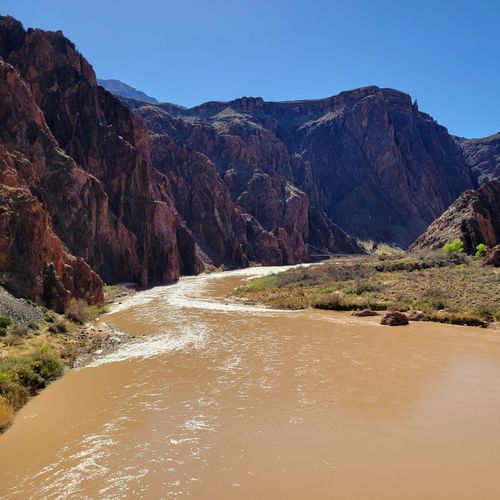
Monument Creek Vista offers a wide-open view into a desert canyon framed by steep, vermilion cliffs and a muddy river in the gorge below, making it an exceptional spot to appreciate the canyon’s dramatic geology. From this viewpoint the accessible Greenway Trail begins (it meets Accessibility Guidelines for Outdoor Developed Areas), accommodating hikers, bicyclists and wheelchair users; the paved trail goes 1.7 miles/2.7 km west to Pima Point and a dirt trail runs 0.9 miles/1.4 km east to The Abyss.

Havasupai Point

Havasupai Point

viewpointSouth Rim
Viewpoint

Viewpoint

viewpointSouth Rim
Buggeln

Buggeln

viewpointSouth Rim
Viewpoint

Viewpoint

viewpointSouth Rim
Viewpoint

Viewpoint

viewpointSouth Rim
Viewpoint

Viewpoint

viewpointSouth Rim
Viewpoint

Viewpoint

viewpointSouth Rim
Crystal Canyon Viewpoint

Crystal Canyon Viewpoint

viewpointNorth Rim
Deer Creek Falls Viewpoint

Deer Creek Falls Viewpoint

viewpointNorth Rim
Desert View Watchtower

Desert View Watchtower

viewpointSouth Rim

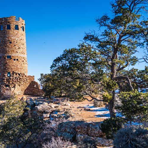
Perched on the South Rim at Desert View Point, the 70-foot circular Desert View Watchtower, a 1932 Mary Colter–designed National Historic Landmark inspired by Ancestral Puebloan architecture, offers dramatic canyon vistas. A short 0.25-mile walk from the main parking area past the restroom leads to the rim; climb the stairs for outstanding views of the Colorado River’s big bend. Retail shop open 9 am–5 pm; upper tower access is allowed when staffed (generally 9 am–4 pm), with a 25-person, 20-minute ticket limit.
Roosevelt Trailhead

Roosevelt Trailhead

poiNorth Rim

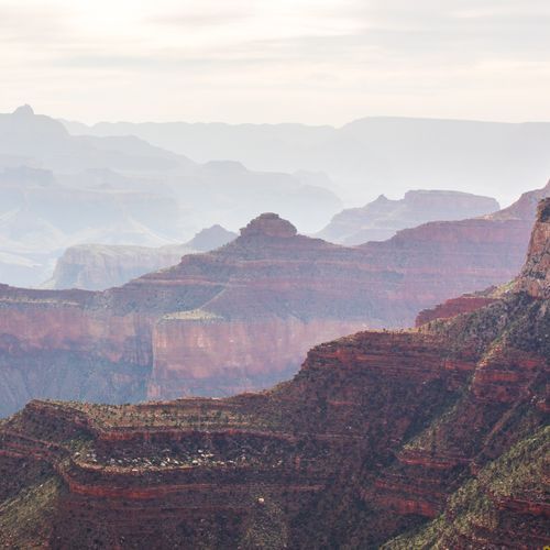
Roosevelt Point is a short, secluded woodland loop on the North Rim that delivers spectacular canyon views and restful benches for relaxed enjoyment. The trail is about 0.2 miles (0.3 km) round-trip, taking roughly 20 minutes, and markers along nearby Cape Royal routes interpret the area's natural history.
Ribbon Falls

Ribbon Falls

poiNorth Rim

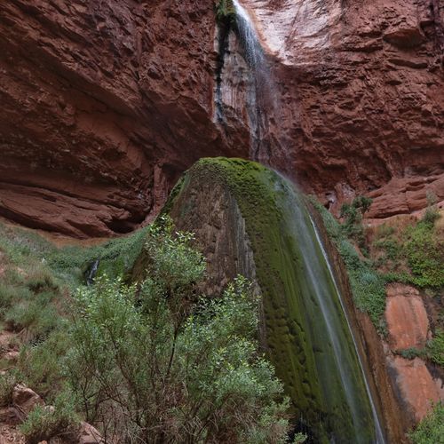
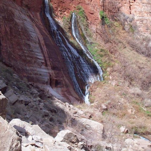
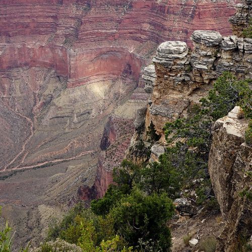
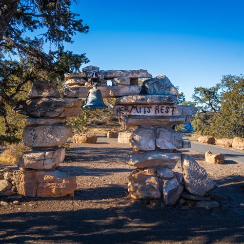
Ribbon Falls (Chimik’yana’kya dey’a in Zuni) is a dramatic waterfall on the North Kaibab Trail, plunging off a ledge onto mossy outcrops and offering one of the canyon’s most photogenic scenes. It lies about 8.4 miles (13.3 km) down the North Kaibab Trail; the Ribbon Falls Bridge has been removed due to damage, so visitors should stay on the North Kaibab Trail and travel safely in this area.

Etched in Stone

Etched in Stone

poiSouth Rim

Etched in Stone uniquely interprets the Grand Canyon’s deep geologic story on the South Rim, using museum exhibits and the Trail of Time to reveal how deposition, uplift of the Colorado Plateau, and the carving of the canyon shaped this landscape. Displays include crafted artwork, 3D models, powerful photographs and interpretive panels; it also hosts geology talks (e.g., on the Vishnu Basement Rocks, Unkar Group and Chuar Group). The Trail of Time was dedicated October 13, 2010.

Mystic Falls

Mystic Falls

poiNorth Rim
Redwall Cavern

Redwall Cavern

poiNorth Rim
Saddle Canyon

Saddle Canyon

poiNorth Rim
Wings of Time

Wings of Time

poiSouth Rim

Thunder Spring

poiNorth Rim
Cedar Ridge

Cedar Ridge

poiSouth Rim

POI

poiSouth Rim
Grand Canyon National Park

Grand Canyon National Park

poiSouth Rim

The Grand Canyon's mile‑deep gorge, carved by the Colorado River across 278 miles of canyon and uplands, delivers incomparable panoramic vistas from the South Rim, the park's most accessible and popular area. Visitors can enjoy scenic overlooks (such as Desert View) that look down to the river a mile below; if you're coming from Colorado or New Mexico, consider entering via the East Entrance at Desert View and basing yourself near the South Rim town of Tusayan for convenient access.

Duck on a rock

Duck on a rock

poiSouth Rim

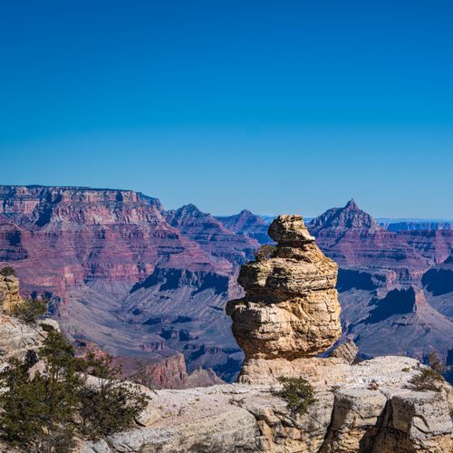
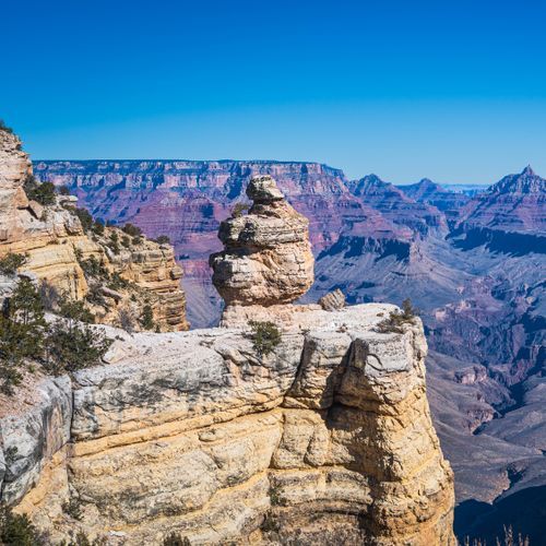
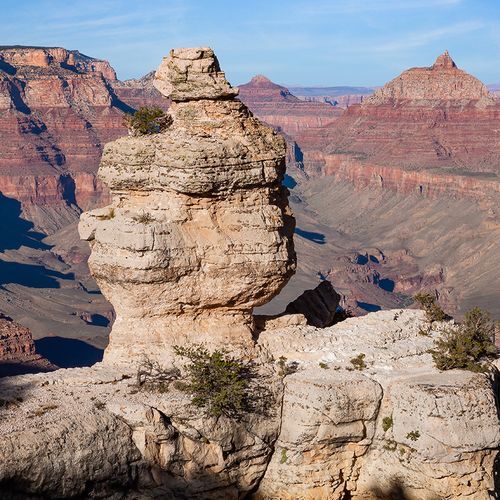
Duck on a Rock, elevation 7,096 ft (2,162 m), is a scenic viewpoint along the South Rim, located at Mile Marker 246. Here, the canyon cliffs take on the shape of a duck and other imaginative forms, making it a delightful spot for photography and exploration. Be cautious of rock falls, especially during or after rain and freeze-thaw events, and always prioritize safety while enjoying the breathtaking views.

Grand Canyon

Grand Canyon

poiSouth Rim

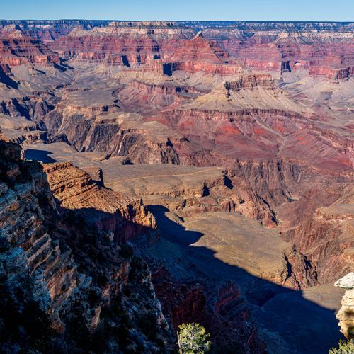
The South Rim of Grand Canyon National Park showcases a mile-deep, UNESCO World Heritage canyon carved by the Colorado River, offering sweeping, incomparable vistas that define this natural wonder. Managed by the National Park Service and encompassing 278 miles of the river within Arizona, the South Rim is the most accessible and popular area, with developed viewpoints, visitor services, rim trails and opportunities to hike below the rim or join river trips.

Grand Canyon North Rim

Grand Canyon North Rim

poiNorth Rim

Perched above 8,000 ft on the Kaibab Plateau, the North Rim is uniquely quiet and conifer‑lined compared with the South Rim, offering cooler temperatures and spectacular overlooks like Bright Angel Point, Cape Royal (where the Colorado River can be seen), Point Imperial, and the historic Grand Canyon Lodge. The area is seasonal: the North Rim is closed December 1–May 15, roads generally open by mid‑May until the first fall snowfall, services often reduce after October 15, and driving from the South Rim takes about 4.5 hours (over 220 miles).

Grand Canyon South Rim

Grand Canyon South Rim

poiSouth Rim

Visited by about 90% of Grand Canyon travelers, the South Rim is open year‑round and offers iconic canyon views with easy access from Interstate 40 and Arizona State Route 64 at South Entrance near Tusayan. Grand Canyon Village provides full visitor services (lodging, food, fuel, gifts); the 35‑mile South Rim drive splits to Hermit's Point, with Hermit's Rest reachable by shuttle March–December, and to Desert View (open to private vehicles); the Rim Trail and Mather Point are popular walking starts.

Natural Bridge

poiNorth Rim

Natural Arch

poiSouth Rim

Royal Arch

poiSouth Rim
Keyhole Natural Bridge

Keyhole Natural Bridge

poiNorth Rim
Angels Window

Angels Window

poiNorth Rim

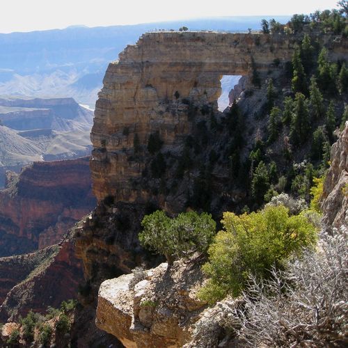
Angels Window offers stunning views from the North Rim, where visitors can gaze through a natural rock arch to the breathtaking landscape beyond. The area is renowned for its dramatic high-elevation viewpoints that allow for spectacular views of the river below, especially during sunrise and sunset. Prepare to be mesmerized by the vibrant colors and the vast expanse of the surrounding wilderness.

Jicarilla Bridge

poiSouth Rim
Kolb Arch

Kolb Arch

poiNorth Rim
The Bridge of Sighs

The Bridge of Sighs

poiNorth Rim

The Bridge of Sighs offers stunning views from its railing-protected overlooks on the North Rim. Visitors can enjoy safe, paved walking surfaces, including the Trail of Time, which features interpretive signs and breathtaking canyon panoramas. This is a perfect spot to witness the vibrant colors of the cliffs, especially at sunset.

Hartman Natural Bridge

poiNorth Rim
Vaseys Paradise

Vaseys Paradise

poiNorth Rim
Grand Canyon

Grand Canyon

poiSouth Rim

The Grand Canyon's South Rim offers sweeping, mile-deep vistas carved by the Colorado River over millions of years and is one of the world's most spectacular examples of erosion and a UNESCO World Heritage Site. Managed by the National Park Service near Grand Canyon, Arizona, the park encompasses about 1.2 million acres and 278 miles of the Colorado River; the South Rim is the most accessible, busiest area and the main base for rim trails, below-rim hikes, and river rafting.

Natural Arch

poiNorth Rim
Buckey O'Neill Cabin

Buckey O'Neill Cabin

poiSouth Rim

Buckey O'Neill Cabin is the South Rim's longest continually standing structure, built in the 1890s by William Owen "Buckey" O'Neill near a copper deposit and cherished for its historic roots. O'Neill, who worked as a miner, judge, politician, author, and tour guide, constructed the cabin during the canyon’s early development. Today it operates as a guest house, and bookings are recommended well in advance.

Discover more activities and plan your visit in the Parka app

Download Parka — It's Free

Plan your Grand Canyon National Park trip in the app

Free on the App Store

Get Parka

Why Park Lovers Choose Parka

Trip Planner

All the tools for epic adventures

Works Offline

Fully functional without cell service

Updated Weekly

Trail conditions, alerts, and closures

Try Risk-Free

7-day free trial, cancel anytime

Start Your 7-Day Free Trial

Unlock everything you need for your next national park trip. Your first week is on us!

National Park vista

Start your adventure today

Download Parka and plan your perfect national park trip in minutes.