ParkaDownload
Grand Canyon National Park

Trails in Grand Canyon National Park

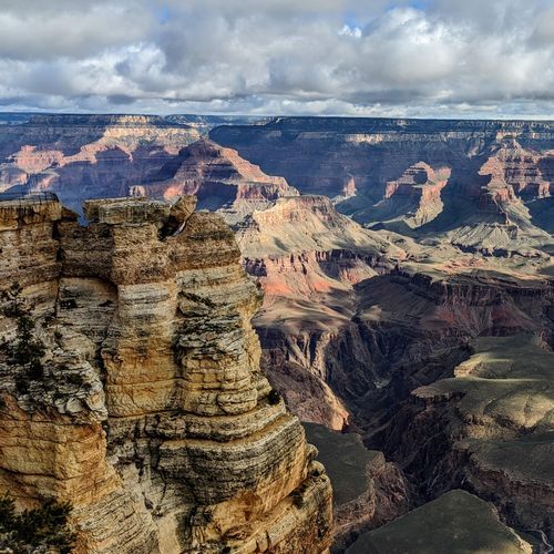
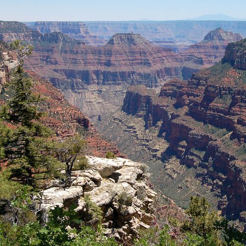
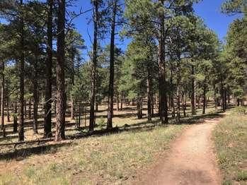
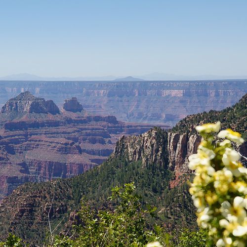
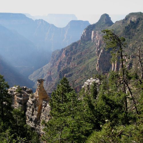
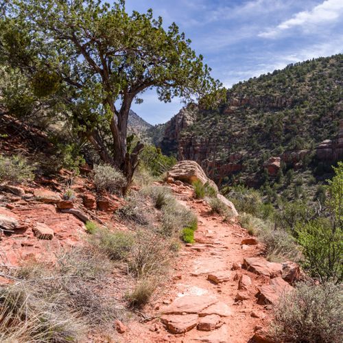
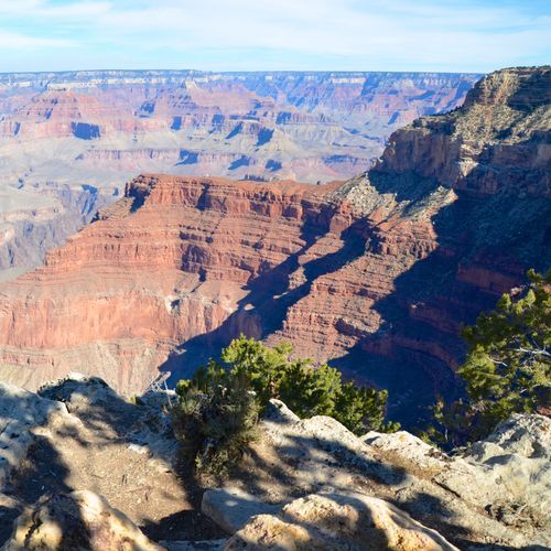
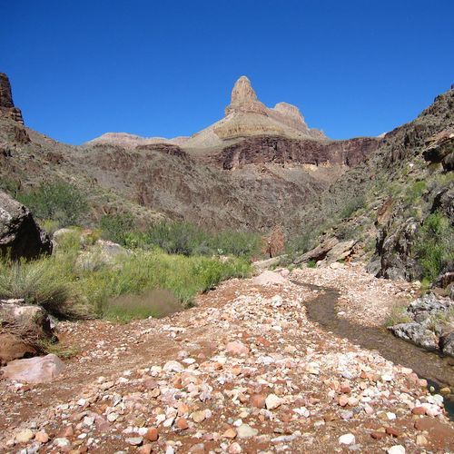
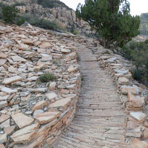
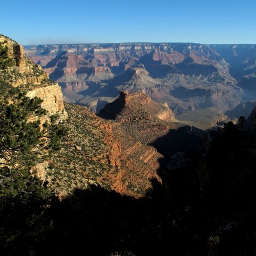
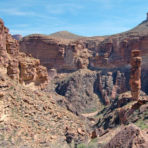
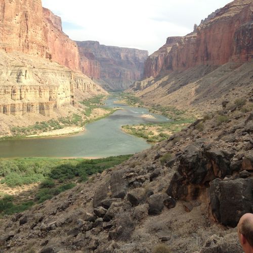
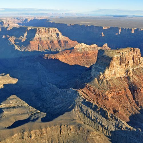
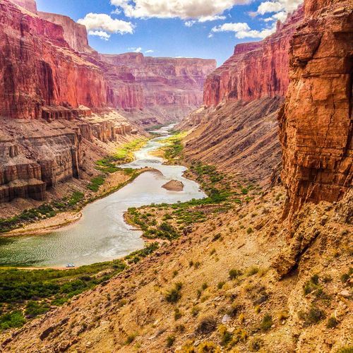
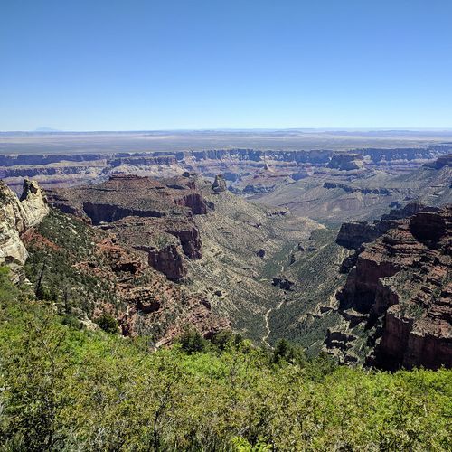
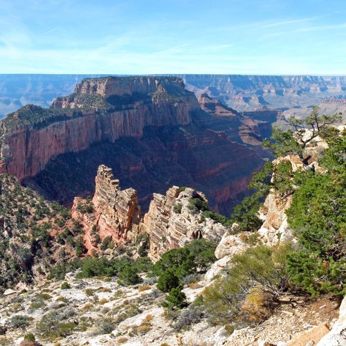
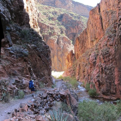
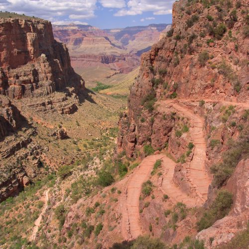
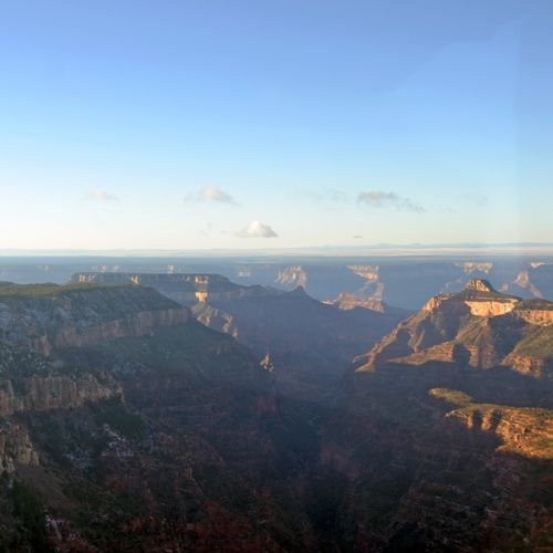
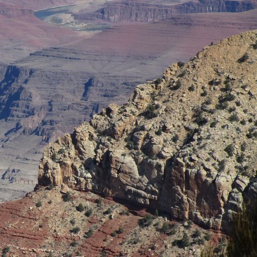
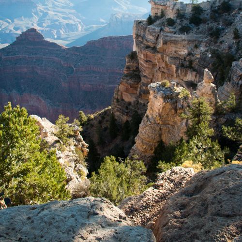
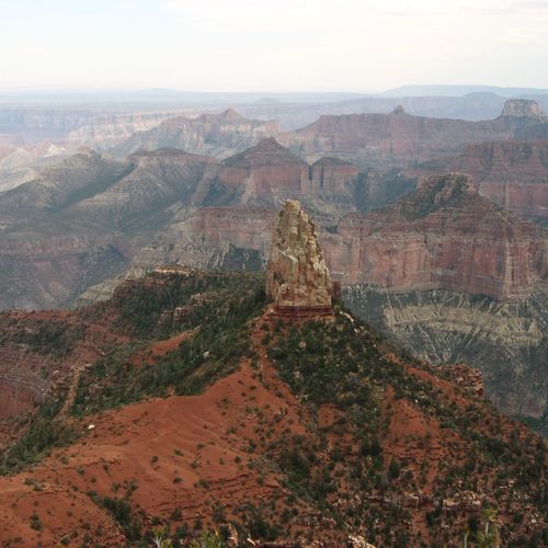
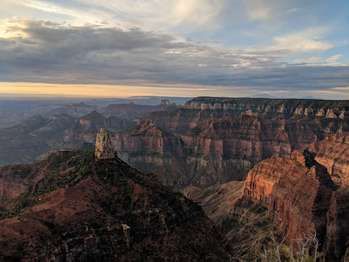
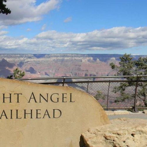
Grand Canyon National Park offers one of the broadest hiking lineups in the country, with 87 trails ranging from easy rim walks to punishing backcountry routes that demand real endurance. You can keep it simple on flatter, view-rich paths along the rim, where the canyon reveals itself in sweeping layers without a major physical commitment, or you can descend below the rim on steeper, more committing trails where every mile feels bigger, hotter, and more consequential. That range is part of the park’s appeal: it works for first-time visitors who want a short scenic stroll, seasoned day hikers looking for a serious challenge, and backpackers drawn to extreme routes and long wilderness traverses. The standout hikes are the classic corridor trails. Bright Angel Trail is the park’s signature route for good reason, combining dramatic views with a well-established path that gives hikers a real taste of the inner canyon. South Kaibab Trail is steeper and more exposed, but it delivers some of the most spectacular vantage points in the park, including the famously photogenic Ooh Aah Point. On the North Rim, North Kaibab Trail provides a different character altogether, dropping through cooler forest into the canyon’s depths before revealing the same immense geologic scale from a new angle. Even the easier options, especially stretches of the Rim Trail and short nature walks near the viewpoints, feel memorable because the scenery is never ordinary for even a moment. What makes hiking here special is not just the beauty, but the way the canyon changes the logic of a hike. Descending is the easy part; earning your way back out is the real test. Elevation change, heat, exposure, and sheer scale make Grand Canyon trails feel far more serious than their mileage suggests, which is exactly why they are so unforgettable. Few parks offer this combination of accessibility and raw challenge: one visitor can spend the morning on a paved rim path, another can disappear into a vast backcountry world, and both will come away with the same impression that this is hiking on a grander, more humbling scale than almost anywhere else in America.

Bright Angel Point Trail

Bright Angel Point Trail

Easy0.8 mi

Enjoy stunning views of the canyon from a scenic point, offering a peaceful atmosphere and accessible pathways. The trail is paved and suitable for casual strolls, providing an ideal spot to appreciate the natural beauty of the area.
Bright Angel Trail

Bright Angel Trail

Difficult15.5 mi

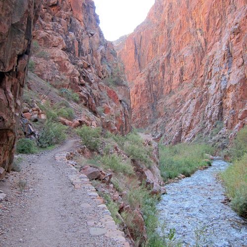
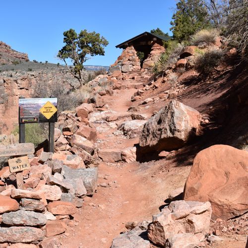
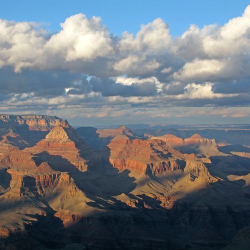
Descend through billions of years of geological history, passing beneath massive sandstone cliffs and alongside shaded oases such as Indian Garden (historically called Havasupai Gardens). The Bright Angel Trail descends through Bright Angel Canyon, generally following the route of Bright Angel Creek, and offers breathtaking views of the canyon's depths and, farther below, the Colorado River. Regular resthouses and seasonal water sources support hikers as they navigate steep switchbacks and diverse landscapes, from desert plants to riparian zones. The route is rich in history, tracing paths used by Native Americans and early pioneers.

Grandview Trail

Grandview Trail

Difficult8.6 mi

The Grandview Trail begins at Grandview Point, descends steeply to Horseshoe Mesa, and follows an old mining access route to late 19th/early 20th-century mining operations; remnants and abandoned camps remain on Horseshoe Mesa. The trail is steep, rough, marginally maintained in places, and known for its challenging terrain and historical significance. Much of the trail is exposed to sun in summer, and ice and snow can make hiking treacherous in winter, so use caution.

North Kaibab Trail

North Kaibab Trail

Difficult14.3 mi

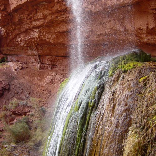
Descend through a series of switchbacks, passing from fir and aspen forests into chaparral and desert landscapes. The trail features the Supai Tunnel, where hikers can find water and restrooms during certain seasons. Roaring Springs offers a dramatic view of water cascading over moss and ferns. A side trip to Ribbon Falls provides a tranquil oasis. The trail continues through the Inner Gorge, the narrow canyon carved by the Colorado River, before reaching the river.

Rim Trail

Rim Trail

Easy12.7 mi

Follow the edge of one of the world's most iconic natural wonders, offering breathtaking views from multiple viewpoints. The path connects historic sites like Hermit's Rest and the Bright Angel Trailhead, providing access to amenities and scenic stops such as Pima Point and Hopi Point. Part of the trail is paved and wheelchair accessible, with shuttle services available for convenience. The trail also features interpretive exhibits like the Trail of Time, highlighting the geological history of the area.

South Kaibab Trail

South Kaibab Trail

Difficult14.9 mi

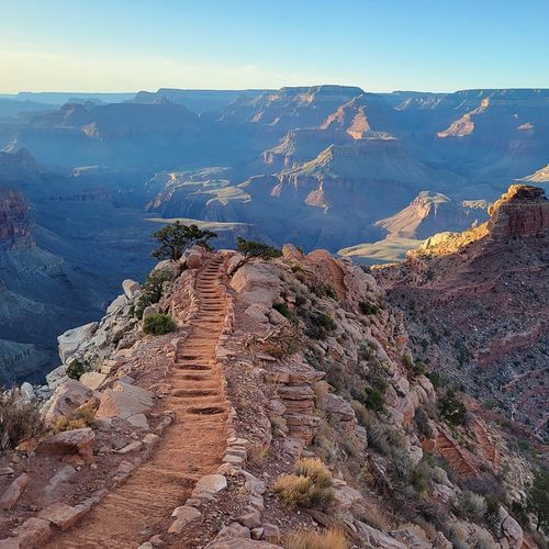
This trail offers breathtaking views as it descends along a ridgeline, providing an exhilarating sense of exposure to the canyon's vastness. With little shade and no water along the way, hikers must be well-prepared. The trail begins with tight switchbacks and traverses below notable landmarks like O'Neill Butte, offering dramatic vistas at Skeleton Point before reaching the Colorado River.

Transept Trail

Transept Trail

Moderate3.7 mi

Follow the rim through a forest of Ponderosa pines, Gambel oaks, and aspen trees, with views of the canyon's depths. The trail passes an ancestral Puebloan ruin and offers a peaceful hike with contrasting colors of the canyon visible through the trees. It connects key points like the lodge and campground, providing a serene experience amidst the rugged landscape.

Cape Final Trail

Cape Final Trail

Easy4.1 mi

Walk through a ponderosa pine forest that provides habitat for the endemic Kaibab squirrel. The Cape Final Trail offers scenic views of the Grand Canyon and the Colorado River, with interpretive markers along the route explaining the area's natural history. As the forest opens onto the cape, hikers are rewarded with expansive canyon vistas; exercise caution near the rim. This trail is a moderate, family-appropriate outing for those prepared for the round-trip walk to Cape Final.

Havasu Canyon Trail

Havasu Canyon Trail

Moderate3.5 mi

Descend into a stunning canyon to witness breathtaking waterfalls, including Havasu and Mooney Falls. The trail passes through the Havasupai Indian Reservation, offering a unique cultural experience amidst natural beauty. The hike involves a significant elevation change, making it a challenging yet rewarding adventure.

Plateau Point Trail

Plateau Point Trail

Difficult12.3 mi

Descend into the heart of the canyon via the historic Bright Angel Trail, passing through Indian Garden (formerly called Havasupai Gardens) before following the Tonto Trail out to Plateau Point. The viewpoint provides expansive panoramic views of the Colorado River and the surrounding inner canyon. The Bright Angel Trail is well-maintained but challenging because of its steep elevation change; the short level walk along the Tonto Platform to Plateau Point is less strenuous.

Uncle Jim Trail

Uncle Jim Trail

Moderate4.9 mi

This loop trail winds through a forest of Douglas fir, Engelmann spruce, and ponderosa pine, offering stunning views of Bright Angel Canyon, Roaring Springs Canyon, and distant landmarks like the San Francisco Peaks. The trail features a mix of burned and healthy forest areas, with notable views from Uncle Jim Point.

Widforss Trail

Widforss Trail

Moderate9.3 mi

This trail offers a blend of forest and canyon scenery, starting with views of the Transept Canyon before heading into the forest. It emerges at Widforss Point, providing expansive views of the Grand Canyon. The trail passes through areas of aspen and pine, with historical and geological points of interest along the way.

Beaver Falls Trail

Beaver Falls Trail

Moderate2 mi

Beaver Falls is a series of travertine pools and cascades on Havasu Creek accessed via the Havasupai (Havasu) Trail from the village of Supai on the Havasupai Indian Reservation. The route follows Havasu Creek through a red-rock canyon, includes creek-side walking, some scrambling and water crossings, and offers swimming in several pools below the falls. Note: Beaver Falls is located on Havasupai tribal land and requires a permit/reservation from the Havasupai Tribe for overnight camping or day access; it is not an open-access trail within Grand Canyon National Park.

Bill Hall Trail

Moderate2.6 mi

The trail begins at Monument Point, descending steeply through layers of rock, including the Kaibab and Coconino Formations. It features numerous switchbacks and large boulders, requiring careful navigation. After a steep drop, it levels off along the Esplanade before intersecting with other trails. The route offers scenic views of the canyon and access to deeper valleys and water sources like Thunder River.

Boucher Trail

Difficult7.3 mi

This rugged trail traverses through multiple geological formations, offering spectacular views of the canyon. It includes steep descents and exposed sections, requiring careful navigation. The trail culminates at Boucher Creek, where hikers can enjoy permanent water sources and lush vegetation.

Bridle Trail

Bridle Trail

Easy2.8 mi

The Bridle Path is a hard-packed, multiuse 1.9-mile (3.1 km) trail that traverses the forest in the North Rim developed area, connecting the North Kaibab Trailhead with Grand Canyon Lodge and offering peaceful forested scenery. It is open to equines (stock allowed), and users should yield to mules and uphill hikers by stepping off the trail on the uphill side and following the wrangler's directions; consult the North Rim Pocket Map for details.

Cape Royal Trail

Cape Royal Trail

Easy0.4 mi

Enjoy stunning vistas of the canyon from multiple viewpoints, including the unique rock formation of Angels Window. The trail offers a short, accessible path with minimal elevation change, making it ideal for a variety of visitors. It's a popular spot for sunrise and sunset photography.

Cathedral Wash

Cathedral Wash

Easy1.6 mi

Deep within the canyon, towering walls rise as hikers follow a shallow wash downstream to the Colorado River. The journey passes through Kaibab Limestone and Toroweap Formations, offering scenic views and requiring careful navigation over ledges and drop-offs. The trail ends at the river, where canyon debris has created a notable rapid. Flash floods are a hazard, so hikers must avoid the area during storms.

Clear Creek Trail

Clear Creek Trail

Difficult8.6 mi

This trail offers stunning vistas of the Colorado River and iconic formations like Zoroaster Temple. It traverses the Tonto Platform, providing a unique perspective on the Grand Canyon's geological layers. The hike includes a descent into Clear Creek Canyon, where perennial water is available, and offers opportunities to explore further to Cheyava Falls.

Cliff Spring Trail

Cliff Spring Trail

Moderate0.8 mi

Cliff Springs Trail meanders down a forested ravine from the Cape Royal area and ends at a chest‑high boulder beneath a large sandstone overhang. The spring is on the cliff side of the boulder and water may be contaminated, so do not drink it. The short trail provides close views of the canyon walls and the immediate rim country.

Deer Creek Trail

Difficult3.1 mi

Descend into a dramatic slot canyon, where spring-fed waters create a serene oasis amidst the rugged landscape. The journey involves steep switchbacks and technical sections, including rappels, to reach the scenic Deer Creek Falls. Along the way, hikers encounter unique rock formations and diverse flora, such as mosses and ferns. The trail offers breathtaking views and opportunities to experience the natural beauty of this remote area, though it requires careful planning and preparation due to its challenging terrain.

Dripping Springs Trail

Dripping Springs Trail

Moderate4.4 mi

Located on the South Rim, this path descends into Hermit Creek and follows a side drainage to a unique spring in a shaded alcove. The spring, nestled beneath a sheer cliff, supports a lush area of trees and plants. The trail offers stunning views of the canyon and intersects with other trails, providing options for longer excursions. The spring's water needs treatment before consumption, and the surrounding landscape provides a cool respite from the desert heat.

Esplanade Route

Esplanade Route

Extreme11.4 mi

Offers a unique, off-the-beaten-path experience in the heart of the Grand Canyon. This unmarked route requires careful navigation but rewards hikers with panoramic views of the canyon, solitude, and a chance to explore the area's geology up close. The trail traverses the Esplanade Sandstone, a distinctive rock layer that forms wide, flat benches, giving the route its name. Along the way, hikers may encounter natural springs, wildlife, and ancient Native American sites. Due to its challenging nature, it is recommended for experienced hikers seeking a remote wilderness experience.

Grand Canyon Village Greenway

Difficult8.5 mi

Winding through forests of ponderosa, pinyon, and juniper trees, this pathway offers stunning views of the canyon and opportunities to spot wildlife like bighorn sheep, mule deer, and California condors. The trail integrates seamlessly with the park's free shuttle service, allowing visitors to explore historic villages and scenic viewpoints without a car. Accessible to hikers, bikers, and wheelchairs, it provides a family-friendly way to experience the natural beauty and rich history of the area.

Greenway

Easy0.4 mi

Winding through forests of ponderosa, pinyon, and juniper trees, this route provides access to numerous scenic viewpoints and attractions. It offers a chance to spot wildlife such as elk, bighorn sheep, and California condors. The path seamlessly integrates with the park's free shuttle bus service, allowing visitors to explore without a car. Historical landmarks and scenic vistas are abundant, including areas inaccessible by car, providing a unique experience amidst the natural beauty.

Hermit Road Greenway Trail

Hermit Road Greenway Trail

Easy0.6 mi

This route offers breathtaking views of the canyon's vast expanse, with stops at historic overlooks like Trailview, Hopi Point, and Mohave Point. The trail winds through ponderosa, pinyon, and juniper forests, providing opportunities to spot wildlife such as elk and California condors. It seamlessly integrates with the park's shuttle service, allowing visitors to enjoy the scenery without the distraction of cars. The path is ideal for cycling and hiking, offering a tranquil experience along the rim.

Hermit Trail

Hermit Trail

Extreme16.3 mi

This trail offers a steep and scenic descent through the Kaibab and Coconino Formations, featuring well-defined switchbacks and fossilized animal tracks. It leads to a historic campsite near Hermit Creek, once a luxury destination, and offers access to the Colorado River. The trail requires careful navigation due to uneven terrain and potential hazards like dehydration and wildlife.

Hermits Rest Access

Hermits Rest Access

Easy0.2 mi

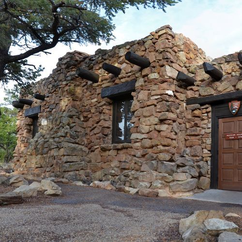
This trail leads to Hermits Rest, a historic structure designed by Mary Colter, resembling an old miner's cabin. It serves as a gateway to backcountry trails and offers scenic views of the canyon. Visitors can enjoy a gift shop, snack bar, and restrooms at the site.

Jackass Canyon Route

Jackass Canyon Route

Moderate2.4 mi

Descend into a vibrant gorge featuring layered rock formations of Kaibab limestone, Toroweap, and Coconino sandstone. The canyon deepens gradually, presenting a mix of smooth channels, pools, and narrow passages. A notable 30-foot drop requires careful navigation, often aided by ropes. The trail culminates at a sandy area near the Colorado River, offering views of Badger Creek rapids. The landscape is dotted with cacti and large boulders, reflecting the dynamic geological processes that shape this area.

Lava Falls Trail

Difficult1.4 mi

This trail offers an adventurous descent into the heart of the Grand Canyon, culminating at the base of Lava Falls Rapid, one of the most formidable whitewater rapids in the world. The path is marked by steep drops, loose volcanic debris, and unstable basalt platforms, requiring seasoned hikers. The journey ends near campsites and sandy beaches along the Colorado River, offering breathtaking views of the rapids.

Maricopa Point Trail

Maricopa Point Trail

Easy0.1 mi

Enjoy stunning views of the Grand Canyon from Maricopa Point, a narrow promontory extending over the canyon. The area offers a glimpse into the region's mining history and provides breathtaking vistas of the Colorado River and surrounding landscape.

Monument Creek Trail

Monument Creek Trail

Easy1.3 mi

Located in a picturesque side canyon, this trail follows a perennial creek that flows through a unique landscape. The creek is surrounded by a dramatic stack of rocks known as Monument, which is a notable landmark and climbing destination. The trail offers opportunities for hiking, horseback riding, and trail running, providing a diverse experience amidst the natural beauty of the area. The creek's flow varies, appearing and disappearing as it makes its way towards the Colorado River, creating a fascinating geological feature.
Nankoweap Granary Trail

Nankoweap Granary Trail

Easy0.2 mi

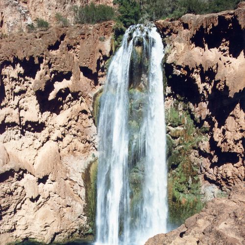
Ancestral Puebloans once hauled grains to these sandstone granaries, built around A.D. 1100. The site offers breathtaking views of the Colorado River below, accessible via a steep, half-mile hike from the river's edge. The granaries, resembling a row of square windows, were designed to protect crops from floods and wildlife. Visitors can enjoy one of the most iconic views in the area while respecting the fragile archaeological ruins.

Nankoweap Mesa Route

Nankoweap Mesa Route

Easy0.1 mi

Descend through sandstone formations, traversing narrow ledges and steep switchbacks. The route offers panoramic views of the canyon, with Nankoweap Creek providing a lush oasis. Hikers can explore ancient Anasazi ruins perched above the river. The trail winds through diverse geological layers, including Supai and Redwall limestone, offering a challenging yet rewarding experience.

Nankoweap Trail

Nankoweap Trail

Extreme12.5 mi

This trail follows an ancient Native American route, offering stunning vistas of the canyon and access to Nankoweap Creek. It's known for its challenging terrain and steep switchbacks, providing solitude and a glimpse into the region's rich history.

New Hance Trail

Difficult5.8 mi

This rugged trail plunges through 4,400 feet of rock, offering breathtaking views as it traverses Kaibab Limestone, Coconino Sandstone, and the Redwall Limestone. The trail follows a major drainage along Coronado Butte and through Red Canyon, featuring distinctive red rock formations. It is recommended for highly experienced hikers due to its challenging terrain.

North Bass Trail

Extreme11.9 mi

This challenging trail offers breathtaking vistas and historical significance, descending through varied geological layers, including the Supai Formation and Redwall Limestone. The route involves navigating dense vegetation and steep switchbacks, culminating at the Colorado River. Historical sites like Bass Camp add to its allure.

Old Navajo Bridge

Old Navajo Bridge

Easy0.2 mi

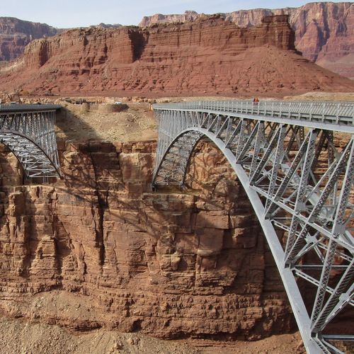
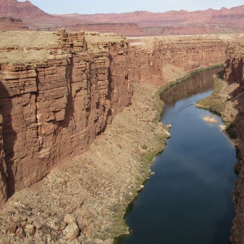
Cross the Colorado River on the historic Old Navajo Bridge, a steel arch marvel that once connected Arizona and Utah. Now open to pedestrians, it offers breathtaking views of Marble Canyon and the surrounding landscape. The bridge is a significant engineering feat and a popular stop for those exploring the region.

Point Sublime Trail

Point Sublime Trail

Extreme17.1 mi

Winding through dense forests of ponderosa pines and quaking aspens, the journey culminates in breathtaking views from a peninsula jutting into the canyon. The drive features old-growth trees, small meadows, and wildflowers, with the Colorado River visible in the distance. Isolation and solitude characterize this scenic route, punctuated by dramatic rock outcroppings and sheer drop-offs.

Powell Plateau Trail

Powell Plateau Trail

Moderate3.3 mi

This remote, pine-forested tableland offers crowd-free vistas of the surrounding landscape. The area is dotted with old-growth trees and provides a unique hiking experience away from typical canyon views. The trail involves steep switchbacks and climbs to reach the plateau, where hikers can explore the relatively flat terrain covered in Ponderosa Pines. Historical significance abounds, with connections to early explorers like John Wesley Powell and artist Thomas Moran. Water is scarce, so preparation is key.

Rainbow Rim Trail

Rainbow Rim Trail

Extreme21.7 mi

This trail offers breathtaking views of the canyon from five distinct points, providing a unique perspective on the natural beauty of the area. It is suitable for hikers and bikers looking for a moderate challenge with stunning vistas.
Ribbon Falls Trail

Ribbon Falls Trail

Easy0.3 mi

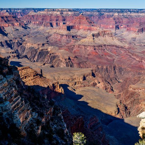
Witness the majestic Ribbon Falls, a seasonal waterfall that flows off a cliff on the west side of El Capitan. It is known for being the longest single-drop waterfall in North America, offering breathtaking views from various vantage points in the valley.

Roaring Springs Trail

Roaring Springs Trail

Easy0.3 mi

This trail offers breathtaking views of the canyon's interior as it descends to Roaring Springs, a vital water source. The path includes a tunnel, narrow ridges, and expansive vistas. The springs themselves are a lush oasis, providing a refreshing stop before the challenging ascent back.

Roosevelt Point Loop

Roosevelt Point Loop

Easy0.3 mi

Roosevelt Point Loop is a short (0.2 mi / 0.3 km), secluded woodland loop on the North Rim that offers spectacular canyon views and benches for relaxed enjoyment; allow about 20 minutes round-trip. The trail begins at the southeast side of the Cape Royal parking area and features interpretive markers about the area's natural history and vistas that include views toward the Colorado River.

Royal Arch Route

Royal Arch Route

Extreme14 mi

This loop offers breathtaking views of the canyon, passing through the Esplanade and Royal Arch Canyon. It requires rappelling skills and navigation through rugged terrain, making it suitable for experienced hikers. The trail includes detours to notable sites like Elves Chasm and offers dispersed camping options.

Shoshone Point Trail

Shoshone Point Trail

Easy2.4 mi

This trail leads through a pine forest to a secluded viewpoint with stunning views of the canyon. It features a picnic area and is known for its tranquility, making it a great alternative to more crowded spots.

South Bass Trail

South Bass Trail

Extreme7 mi

The South Bass Trail is a backcountry route on the South Rim that descends into the Grand Canyon toward the Colorado River. This steep and remote trail offers stunning canyon vistas and connects with other backcountry routes, including the Tonto Trail. Enjoy the adventure and breathtaking views as you explore this remarkable landscape.

Tanner Trail

Tanner Trail

Extreme7 mi

This trail offers breathtaking views of the Grand Canyon, including Unkar Rapid and the tilted layers of the Grand Canyon Supergroup. It follows an ancient Anasazi and Hopi route, later improved by prospector Seth Tanner. The steep descent passes through diverse geological formations, including the Kaibab Formation and Supai Group, before reaching the Colorado River.

Tapeats Creek Trail

Tapeats Creek Trail

Moderate2.3 mi

Deep within the canyon, a vibrant oasis emerges where mosses, ferns, and flowers thrive around life-giving springs. The trail winds through ancient rock formations, offering breathtaking views of the surrounding cliffs. As it descends, it reveals a tranquil creek, perfect for relaxation. The journey culminates at the Colorado River, where stunning waterfalls and scenic narrows await. This path is a haven for those seeking natural beauty and tranquility in a harsh yet enchanting environment.

Thunder River Trail

Thunder River Trail

Extreme21.8 mi

This trail offers breathtaking views as it descends from the North Rim through diverse geological formations. Highlights include the stunning cascades of Thunder River, the tranquil oasis of Tapeats Creek, and the enchanting narrows of Deer Creek. The trail concludes at the Colorado River, providing a dramatic finale to this challenging hike.

Tiyo Point Trail

Tiyo Point Trail

Difficult19 mi

Tiyo Point Trail is a beautiful, short route through lush forest that rewards hikers with stunning views from its overlook. As you navigate the trail, you'll encounter a variety of scenic landscapes, making it a delightful experience for nature lovers. Be prepared for a peaceful hike that immerses you in the natural beauty of the area, perfect for all skill levels.

Tusayan Ruins Loop

Tusayan Ruins Loop

Easy0.3 mi

Walk through the remnants of an 800-year-old Ancestral Pueblo village, featuring partial walls and a circular kiva. This site offers a glimpse into the lives of the ancestors of modern Hopi and Pueblo communities. Visitors can follow a short, self-guiding trail to explore the area.
Unkar Delta Loop

Unkar Delta Loop

Easy0.8 mi

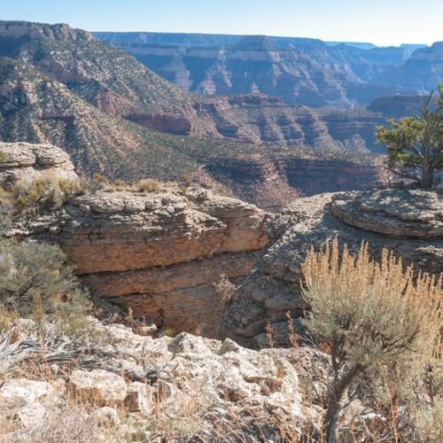
Located at a sweeping bend of the Colorado River, this site features extensive archeological remains of ancestral Puebloans who farmed and lived here from around 850 to 1200 A.D. The area includes numerous ruins, terraced fields, and artifacts like pottery shards and grinding stones. Visitors can follow a well-marked path past these historical sites, learning about the lives of early inhabitants in one of the few areas within the Inner Gorge suitable for human settlement. The surrounding landscape is dominated by vibrant vermilion-colored rocks, adding to the site's natural beauty.

Village Greenway

Easy2.5 mi

This short asphalt path offers a brief, easy walk. However, it lacks notable features or connections to larger trail systems, making it less appealing for those seeking a more immersive experience.

Waldron Trail

Waldron Trail

Moderate1.8 mi

Descend into a secluded basin through a forested area with limited exposure to the canyon's dramatic vistas. The trail features steep switchbacks and offers opportunities to spot wildlife. Historically significant, it was once a primary route for prospectors and early tourists. Horsethief Tank, a relic from the past, lies nearby. Despite its short distance, the trail demands preparation due to limited water availability and unpredictable weather conditions.

Beamer Trail

Difficult9 mi

Follow a primitive trail along the Colorado River, offering stunning views of the Palisades of the Desert. The route requires route-finding skills and involves steep climbs and descents. The trail culminates at the culturally significant confluence of the Colorado and Little Colorado rivers, a site of spiritual importance for Native American tribes.

Cape Solitude Trail

Extreme15 mi

Cottonwood Creek Trail

Moderate1.6 mi

This trail winds through diverse landscapes, offering scenic views of the surrounding area. It provides a serene hiking experience with opportunities to observe local wildlife and enjoy natural beauty.
Ken Patrick Trail

Ken Patrick Trail

Difficult9.3 mi

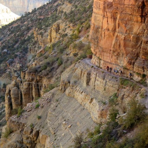
Caution: Primitive trail that may require navigation skills. Winding through Englemann spruce, Douglas fir, and aspen forests, the path occasionally meanders along the rim, offering solitude and breathtaking views. The trail passes through areas recovering from wildfires, providing expansive vistas of the surrounding landscape. Visible landmarks include Mount Hayden, Alsap Butte, and the distant San Francisco Peaks. The route culminates at a high point, offering panoramic views of the canyon and beyond.

Komo Point Trail

Moderate5 mi

Page Spring

Easy0.1 mi

This trail involves a steep and exposed descent from Horseshoe Mesa to Page Spring, which is noted for its high arsenic levels. The route is part of a network that connects to the Tonto Trail, offering breathtaking views of the canyon's inner landscape. However, the spring itself is no longer accessible due to a cliff collapse. The trail's difficulty and the unreliable nature of the spring make it less popular among hikers.

Pipe Creek Beach Trail

Easy0.1 mi

No description available

Point Imperial Trail

Point Imperial Trail

Moderate5.2 mi

This trail offers breathtaking views of the Painted Desert and Marble Canyon, transitioning into the grandeur of the canyon. It passes through areas affected by the 2000 Outlet Fire and ends at the northern park boundary, with connections to other trails.

Powell Point Trail

Easy0.1 mi

This short trail leads to Powell Point, a significant landmark named after Major John Wesley Powell, who led the first documented expeditions through the Grand Canyon. The point offers breathtaking views of the canyon and is a popular stop along West Rim Drive. Visitors can enjoy the historic Orphan Mine nearby and take in the vast western vistas.

River Trail

Easy1.8 mi

This trail offers a serene walk along the river, featuring diverse vegetation and scenic views. It provides an accessible route for hikers of all skill levels, making it an enjoyable experience for nature lovers.

Saddle Canyon Trail

Moderate1.4 mi

Saddle Horse Loop

Easy0.9 mi

This easy loop trail offers a scenic walk through the desert, providing views of the surrounding landscapes. It is a great option for those looking for a short, accessible hike with minimal elevation change.

Schmutz Spring Trail

Moderate1.7 mi

South Canyon Trail

Difficult5.6 mi

This trail offers a challenging hike with steep descents into a canyon, featuring scenic views and rugged terrain. It is less maintained and less visited compared to other trails, making it suitable for experienced adventurers seeking solitude.

Walhalla Glades Trail

Difficult7.3 mi

Whitmore Trail

Easy1 mi

Ariel Point Trail

Moderate3.1 mi

Brady Hollow Trail

Difficult12.2 mi
Bright Angel Campground Route

Bright Angel Campground Route

Easy0.6 mi

This trail follows a well-maintained path down into the canyon, offering breathtaking views of the canyon walls and access to the Colorado River. It passes through Havasupai Gardens, a lush oasis, and ends near Phantom Ranch, a historic lodging site. The trail is rich in geological and historical significance, making it a popular route for hikers.

Crystal Creek Route

Moderate4.6 mi

This trail offers a diverse range of landscapes, though specific details are not available from the provided sources. It likely features scenic views and natural beauty typical of national park trails.

Escalante Route

Escalante Route

Extreme11.4 mi

Hike along the Colorado River, experiencing dramatic canyon environments, including wide open spaces, a slot canyon, and views of whitewater rapids. The route involves navigating exposed trails, class 2 and 3 climbing, and the challenging Papago Wall and Slide. Camping is at-large, with no designated sites, offering a unique wilderness experience amidst changing geology and remarkable vistas.

Francois Matthes Trail

Moderate5.3 mi

Grand Canyon East Rim Drive Path

Easy1.9 mi

Greenland Lake Trail

Easy0.2 mi

This area features a small lake that occasionally fills with water, attracting wildlife such as deer and birds. The surrounding landscape is dotted with fallen trees and new growth, creating a dynamic environment. The nearby salt cabin adds historical interest to the site.

Hance Creek Trail

Moderate1.4 mi

This trail plunges through 4,400 feet of rock, offering stunning views of Red Canyon and the Colorado River. It traverses through diverse geological formations, including the Supergroup and Redwall Limestone. The trail is known for its steepness and requires experienced hikers due to its unmaintained condition and challenging terrain.

Horseshoe Mesa East Trail

Easy1.1 mi

This trail offers scenic views from a unique horseshoe-shaped mesa. It connects with other trails in the area, providing access to historic mining sites and diverse geological formations. The trail is part of a larger network that allows hikers to explore the rich history and natural beauty of the region.
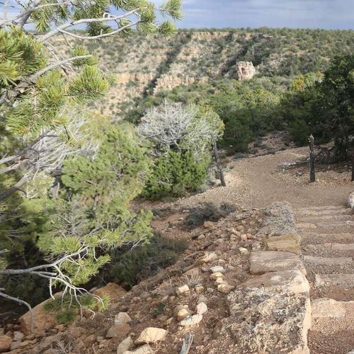
Nature Trail

Easy0.3 mi

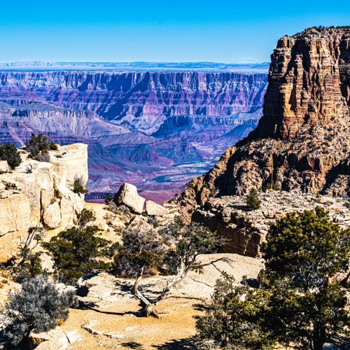
This trail offers a peaceful stroll through a natural setting, featuring diverse flora and fauna. It provides an opportunity for visitors to connect with nature in a tranquil environment.

Old Bright Angel Trail

Difficult5 mi

Path to Overlook

Easy0.1 mi

Residential Loop

Easy1.3 mi

Secret Beach Trail

Easy0.6 mi

Descend through a lush coastal forest to a secluded beach, where rugged headlands frame the shoreline. The beach features a picturesque waterfall and offers opportunities to explore sea stacks and tidepools. The hike requires a short scramble down a rocky slope to reach the beach.

Zuni Trail

Easy0.3 mi

No description available

Get offline trail maps and detailed hiking info in the Parka app

Download Parka — It's Free

Get offline trail maps for Grand Canyon National Park

Free on the App Store

Get Parka

Why Park Lovers Choose Parka

Trip Planner

All the tools for epic adventures

Works Offline

Fully functional without cell service

Updated Weekly

Trail conditions, alerts, and closures

Try Risk-Free

7-day free trial, cancel anytime

Start Your 7-Day Free Trial

Unlock everything you need for your next national park trip. Your first week is on us!

National Park vista

Start your adventure today

Download Parka and plan your perfect national park trip in minutes.