ParkaDownload
Great Smoky Mountains National Park

Areas in Great Smoky Mountains National Park

Great Smoky Mountains National Park is best understood as a collection of distinct gateways and landscapes rather than one single, uniform destination. On the Tennessee side, Cades Cove is the park’s classic pastoral valley: broad views, preserved churches and cabins, abundant wildlife, and an easy scenic loop that appeals to first-time visitors and photographers alike. Nearby Townsend and the western side of the park feel calmer and more relaxed, a strong fit for travelers who want quiet trailheads, river scenery, and a softer introduction to the Smokies. Gatlinburg, by contrast, is the busiest portal and the launch point for the park’s most iconic high-country corridor, including Newfound Gap Road, the park’s signature drive to overlooks, major trailheads, and the crest of the range. Roaring Fork offers a more intimate version of the Smokies experience, with a narrower road, old homesteads, thick forest, and the sense of slipping quickly from resort town energy into deep mountain shade. On the North Carolina side, Oconaluftee is one of the park’s most rewarding cultural and scenic districts, where visitors can pair mountain history with an easy, accessible introduction to the landscape. It is a strong base for families and for anyone entering from Cherokee. Deeper in, Cataloochee feels more secluded and more atmospheric, known for its historic valley setting and a stronger sense of remoteness. The Deep Creek and Bryson City side is a favorite for visitors who want moving water, low-elevation hikes, and a blend of tubing, waterfalls, and forest walks. Cosby, in the park’s northeastern reaches, is often overlooked in the best way: quieter roads, fewer crowds, and a good choice for travelers who value space and solitude over checklist sightseeing. The smartest way to explore the Smokies is to choose areas by mood and terrain. If you want iconic scenery and easy access, focus on Cades Cove, Newfound Gap Road, and Oconaluftee. If you want history and mountain culture, add Roaring Fork, Cataloochee, and the Oconaluftee corridor. If your priority is quieter hiking and a more spacious experience, lean toward Cosby, Deep Creek, or the Townsend side. The park is enormous, and driving between regions can take longer than many visitors expect, so it pays to think in zones: one day for the western valleys, one for the central crest and overlooks, and one for the North Carolina districts. That approach turns the Smokies from a crowded checklist into what it truly is: a richly varied mountain world with a different personality at every turn.

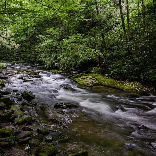
Oconaluftee

Oconaluftee

15 trails2 campgrounds

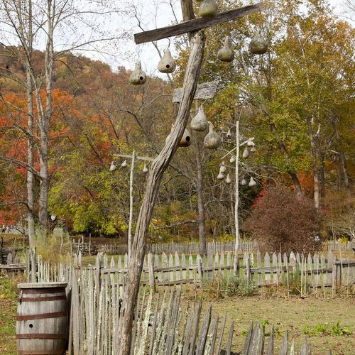
Oconaluftee offers a rich blend of cultural and natural history. Visitors can explore the Mountain Farm Museum, a collection of historic Appalachian log structures, and nearby Mingus Mill features regular historical demonstrations. The area serves as a starting point for the Oconaluftee River Trail, a relatively flat, wide, graveled, pet- and bike-friendly riverside walk ideal for a leisurely stroll. As the park's southern gateway near Cherokee and the Qualla Boundary, Oconaluftee is easily accessible and family-friendly. The large river valley is home to one of the park's two main elk herds, so wildlife sightings, especially elk, are common. The Oconaluftee Visitor Center provides cultural history exhibits and seasonal ranger-led programs, enhancing the visitor experience.

Deep Creek

Deep Creek

20 trails1 campgrounds

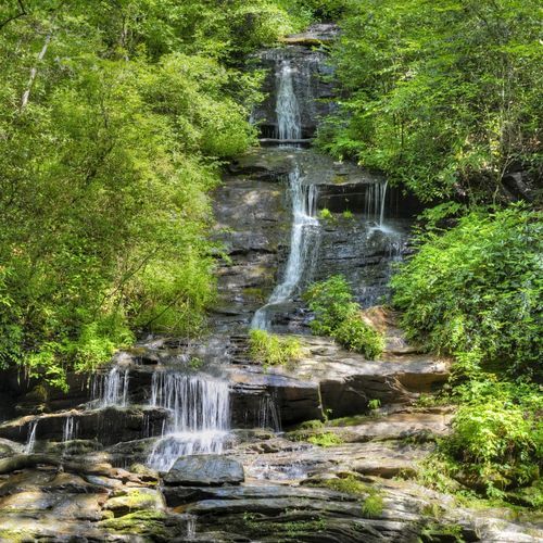
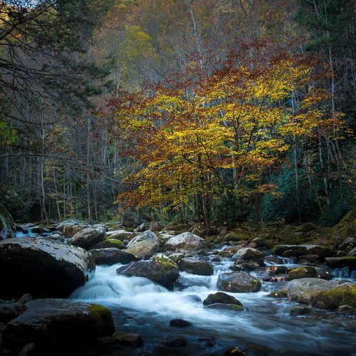
Deep Creek offers a variety of outdoor activities including hiking, fishing, tubing, and horseback riding. Known for its picturesque waterfalls, it provides a less crowded alternative to other park areas. The trails cater to various skill levels, making it accessible for families. Deep Creek is also noteworthy for its rich biodiversity, with numerous bird species and native plants. Its proximity to Bryson City enhances visitor convenience with nearby lodging and dining options.

Cades Cove

Cades Cove

38 trails4 campgrounds

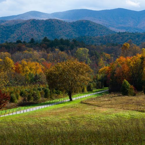
Cades Cove offers a unique glimpse into Southern Appalachian history with preserved 19th-century cabins and churches. Unlike other areas, it features an 11-mile one-way loop road for wildlife viewing, including black bears and white-tailed deer. Popular for its open meadows surrounded by mountains, it provides distinct photographic opportunities. While Cades Cove is generally accessible year-round, it closes at nightfall for safety reasons. It remains one of the most visited sites, highlighting both natural beauty and historical significance within its tranquil landscape.

Greenbrier

Greenbrier

17 trails1 campgrounds

Greenbrier offers a quieter experience compared to busier park areas. It features diverse hiking trails, including the popular Ramsey Cascades, the tallest waterfall in the park. Rich in history, the area contains remnants of early settler life. Visitors can explore the Greenbrier Picnic Area for a peaceful meal by the river. Known for its spring wildflowers, Greenbrier attracts nature enthusiasts and photographers seeking vibrant natural displays.

Roaring Fork

Roaring Fork

14 trails

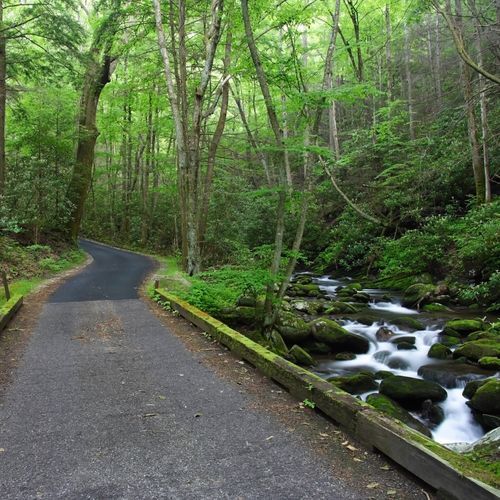
Roaring Fork offers a unique glimpse into Appalachian history with its preserved cabins and mills. The area is accessible via a scenic 5.5-mile loop road, providing a more intimate experience compared to busier park sections. Visitors can explore the popular Rainbow Falls Trail and view diverse foliage and wildlife along the way. The region is known for its cascading streams, making it a favored spot for photographers and nature enthusiasts.

Elkmont

Elkmont

12 trails2 campgrounds

Elkmont offers a unique blend of history and nature. It features the remnants of an early 20th-century logging town and later became a resort community. Visitors can explore the historic Elkmont Ghost Town and enjoy serene hiking trails. The area provides a quieter alternative to busier park sections, with diverse wildlife and the Little River offering opportunities for fishing and picnicking. While Elkmont is known for its natural beauty, it is not specifically renowned for synchronous fireflies, which are more commonly associated with other areas of the Great Smoky Mountains.

Tremont

Tremont

14 trails

Tremont offers a serene retreat with fewer crowds compared to busier park areas. Known for its educational programs, the Great Smoky Mountains Institute at Tremont provides immersive nature experiences. Several trails, including the Middle Prong Trail, lead visitors through lush forests and past picturesque waterfalls. Rich in biodiversity, the area is ideal for birdwatching and observing diverse plant species. Tremont's tranquility and educational focus distinguish it from other park regions.

Sugarlands

Sugarlands

16 trails

Sugarlands is a convenient and informative starting point for exploring the northern Great Smoky Mountains near Gatlinburg. The Sugarlands Visitor Center features natural history exhibits, a park film, a bookstore, public restrooms and vending machines, seasonal ranger-led programs, and the Backcountry Permit Office. Easily accessible from Newfound Gap Road, Sugarlands is a popular, highly trafficked gateway with trailheads that lead to peaceful streams, waterfalls, and historic log cabins. Short, family-friendly options near the visitor center include the Sugarlands Valley Nature Trail (a paved half-mile loop) and the Gatlinburg Trail, making Sugarlands a good introduction for first-time visitors.

Cataloochee

Cataloochee

33 trails3 campgrounds

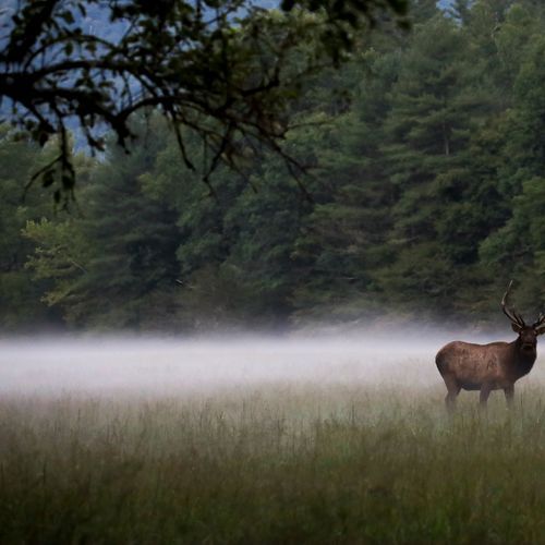
Cataloochee offers a serene experience with fewer crowds compared to other areas. It is known for its historic buildings and abundant wildlife, including elk. Visitors often enjoy hiking trails that provide opportunities for wildlife observation and photography. This valley features well-preserved structures from early settlers, such as churches, barns, and homes. Cataloochee's landscape is a testament to the region's history and natural beauty, making it a unique destination within the park.

Kuwohi

Kuwohi

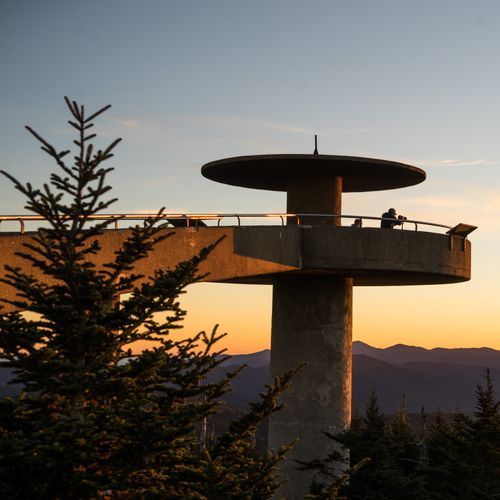
Kuwohi, formerly known as Clingmans Dome, stands as the highest point in Tennessee and the Great Smoky Mountains, reaching an impressive elevation of 6,643 feet. A paved half-mile trail winds from the visitor contact area to the stone observation tower at the summit, offering breathtaking panoramic views when the weather cooperates. Visitors may find the path steep, making it somewhat challenging for those with mobility limitations, while the summit area often experiences a mystical shroud of mist and sits along the iconic Appalachian Trail.

Explore all areas with offline maps in the Parka app

Download Parka — It's Free

Explore Great Smoky Mountains National Park areas with offline maps

Free on the App Store

Get Parka

Why Park Lovers Choose Parka

Trip Planner

All the tools for epic adventures

Works Offline

Fully functional without cell service

Updated Weekly

Trail conditions, alerts, and closures

Try Risk-Free

7-day free trial, cancel anytime

Start Your 7-Day Free Trial

Unlock everything you need for your next national park trip. Your first week is on us!

National Park vista

Start your adventure today

Download Parka and plan your perfect national park trip in minutes.