
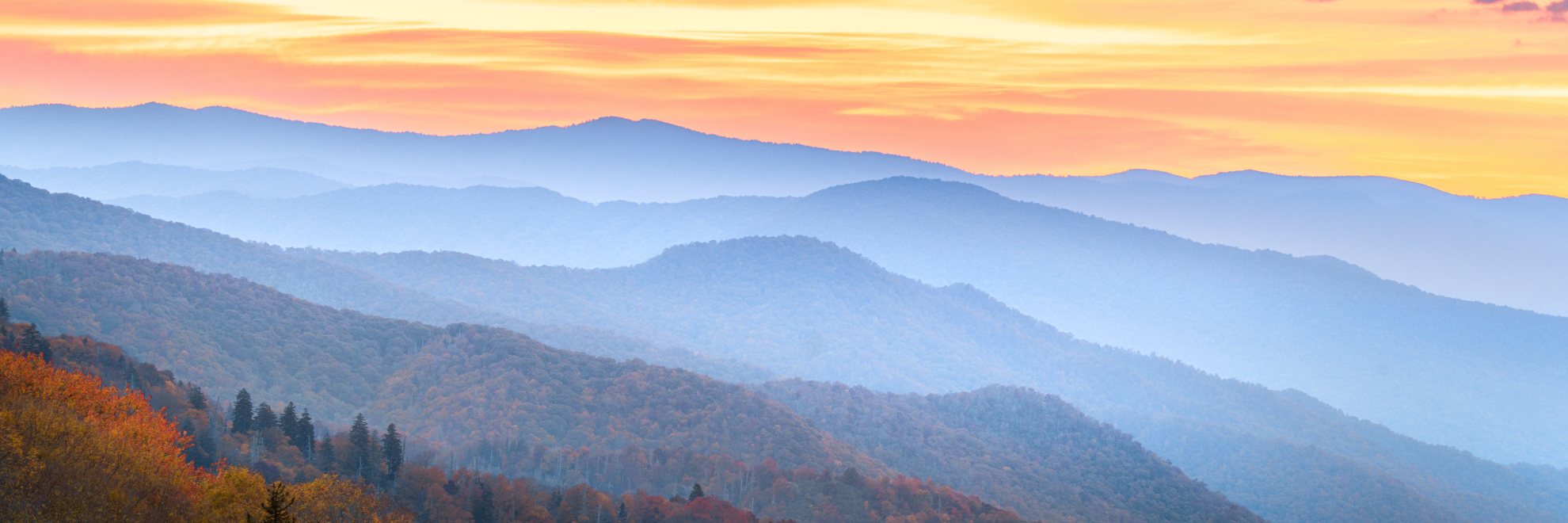
Great Smoky Mountains National Park, affectionately known as the Smokies, offers a breathtaking panorama of mountain ranges draped in the ethereal blue mist that gives them their name. Straddling the border between North Carolina and Tennessee, the park is renowned for its diverse ecosystems and is one of the most biologically rich areas in North America. Home to over 17,000 documented species, some believe thousands more may exist, waiting to be discovered.
The Smokies feature a stunning variety of flora and fauna. Black bears are perhaps the most famous residents, but the park also shelters a vast array of wildlife including white-tailed deer, elk reintroduced to the area in 2001, and over 200 species of birds. The lush forests include ancient stands of old-growth trees and during the spring, the wildflowers in bloom are a sight to behold. Autumn brings a spectacular change in the leaves, making it a popular destination for leaf watchers.
Human history in the Smokies is as rich as its natural history. The region was originally the homeland of the Cherokee Indians, and throughout the park, you can find preserved cabins, churches, and barns from the early settlers in the 1800s. These historical structures give a glimpse into the rugged life of Appalachian communities.
Visitors to Great Smoky Mountains National Park can explore over 800 miles of trails, ranging from easy walks to strenuous hikes that lead to breathtaking viewpoints, cascading waterfalls, and serene streams. The park's topography provides numerous recreational opportunities, from scenic drives like the Cades Cove Loop Road, which offers picturesque views and chances to spot wildlife, to quieter pursuits such as fishing in one of the park's many streams.
Designated a UNESCO World Heritage Site, the park is not only a refuge for a variety of plants and animals but also offers a sanctuary for the millions of visitors each year seeking tranquility and renewal in its vast, majestic landscapes.
Great Smoky Mountains National Park
North Carolina, Tennessee
North Carolina, Tennessee
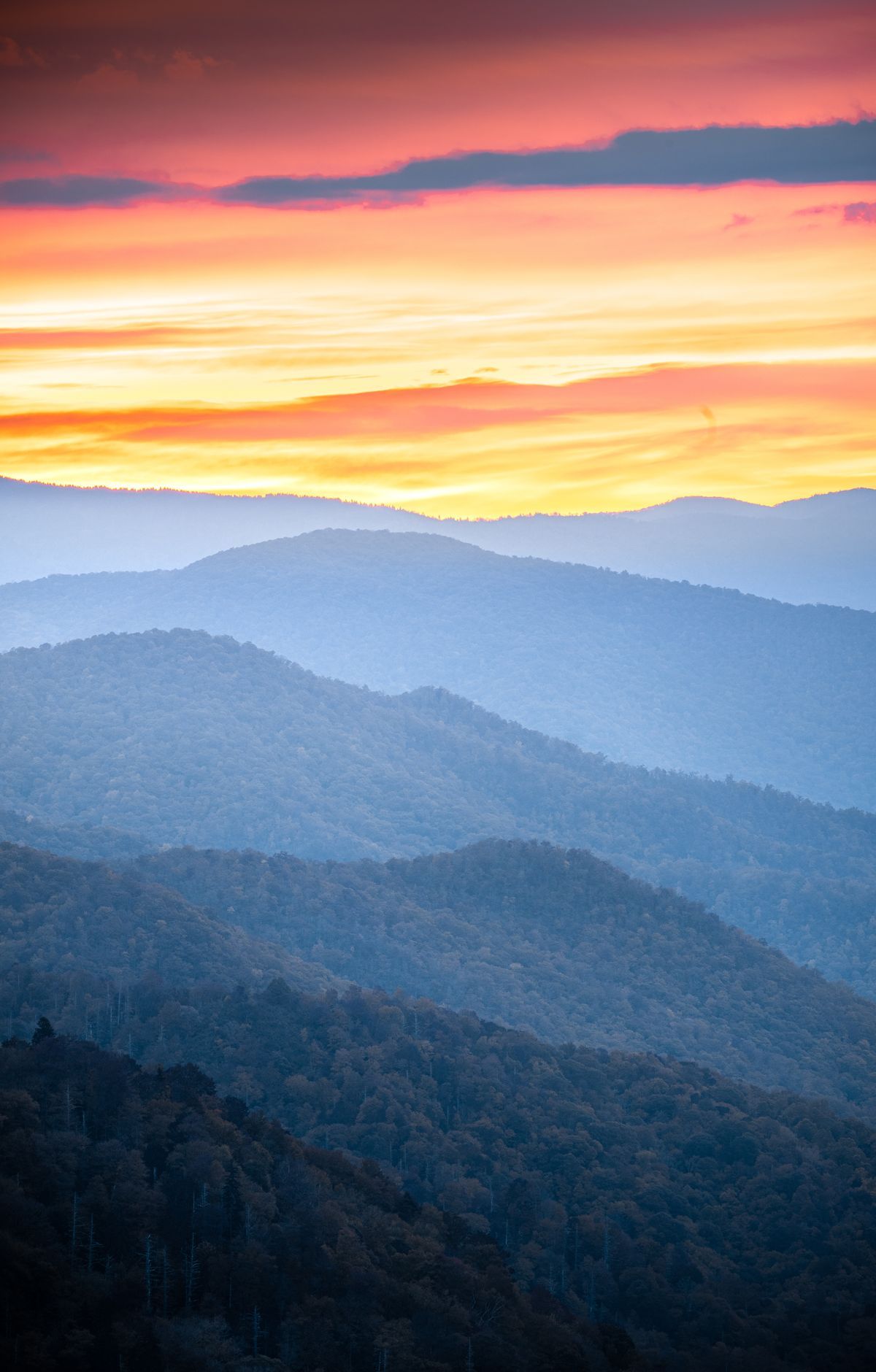
Few places of similar size in a temperate climate hold as much life as Great Smoky Mountains National Park, where about 19,000 known species live among old-growth forests and misty ridges along the North Carolina and Tennessee border. The mountains also keep remnants of Southern Appalachian mountain culture, from the log cabins and churches of Cades Cove, circled by an 11-mile one-way loop road, to Mingus Mill and the Mountain Farm Museum. Scenic drives include the Roaring Fork Motor Nature Trail and Newfound Gap Road, which reaches trailheads and overlooks. Kuwohi, the park's highest point, has an observation tower. Hiking trails cover more than 800 miles, and backpackers can reserve backcountry campsites or stay at LeConte Lodge.
Park Areas
All areas →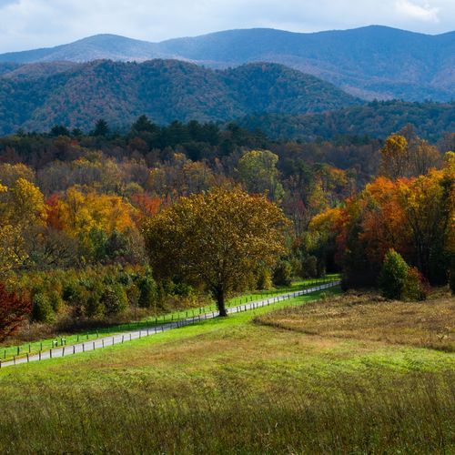
Cades Cove
A broad, cleared valley with mountains rising around its rim, this cove south of Townsend, Tennessee, holds more kinds of historic buildings than any other part of the park. Drivers, cyclists and horseback riders can follow Cades Cove Loop Road, which runs one way for 11 miles around the valley, stopping at paved pullouts to watch for wildlife. Along the route stand log houses, barns, cemeteries, homesites and three churches, many restored, dating to the 18th and 19th centuries. Halfway around, the Cable Mill Historic Area sits beside the Cades Cove Visitor Center, where exhibits on Southern mountain life join a working gristmill and the Becky Cable house. Hiking trails branch off the loop, including a short, level path to the John Oliver Cabin. A campground, riding stable and shaded picnic area with grills round out the cove.
Elkmont
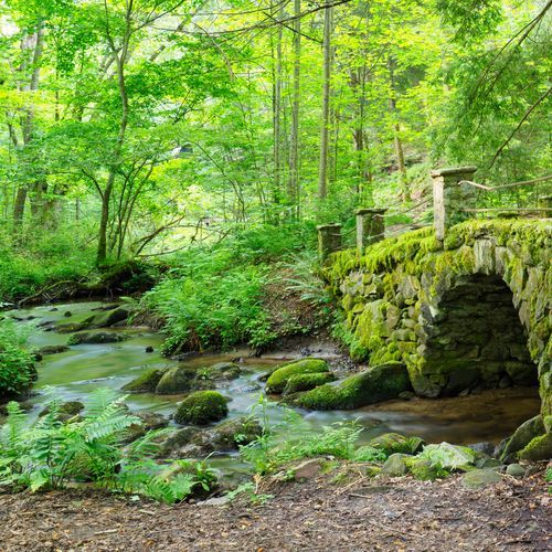
A logging village that became a resort, this area is now a ghost town of preserved cabins and stone chimneys. The Little River Lumber Company founded the settlement in 1908, bringing a railroad and logging camp, and vacationers arrived for the Appalachian Club and Wonderland Hotel. In the Elkmont Historic District, Daisy Town sets a row of porched vacation homes on the former logging camp site, and the rehabilitated Appalachian Clubhouse and Spence Cabin can be reserved for day use. Hikers on the Jakes Creek and Little River trails pass stone walls and chimneys where other cabins once stood, and adding Cucumber Gap makes a shady 5.4-mile loop with stream views and spring wildflowers. Elkmont Campground offers tent and RV sites, some beside the river, and is the closest family campground to Sugarlands Visitor Center.
Roaring Fork
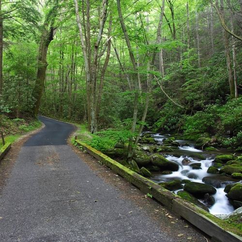
A narrow, winding one-way loop of 5.5 miles, the Roaring Fork Motor Nature Trail carries drivers through dense forest near Gatlinburg. The area takes its name from the Roaring Fork, one of the park's bigger and swifter mountain streams, which surges after heavy rain. From the road you can see rushing water, stands of old-growth forest, and preserved log cabins, gristmills and other buildings from the region's past. Before entering the loop, visitors can stop at the Noah "Bud" Ogle Self-Guiding Nature Trail, a walking tour of a mountain farmstead and its hardwood forest. Hikers can tackle the Rainbow Falls Trail, a steep 5.4-mile round trip. About two miles into the loop, the Trillium Gap Trail heads to Grotto Falls, and near the end, water spills down a roadside rock wall at the Place of a Thousand Drips.
Greenbrier
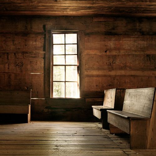
Tucked into the park's northeast corner about 20 minutes east of Gatlinburg, this heavily forested cove draws hikers with its waterfalls and wildflowers, while anglers come for the streams and others seek out historic buildings and cemeteries. A partially paved road follows the river upstream to Greenbrier Picnic Area, with shady tables and charcoal grills by the water, and on to several trailheads. Ramsey Cascades Trail climbs 8 miles roundtrip through cove hardwood forest to the tallest waterfall in the park. An old roadbed gives way to a narrower, rockier path with footlog bridges over streams. Along Porters Creek Trail, hikers pass reminders of the area's past, and a roughly 4-mile roundtrip reaches Fern Branch Falls. Albright Grove is a short loop through old-growth forest. Anglers can try their luck in the area's streams.
Tremont
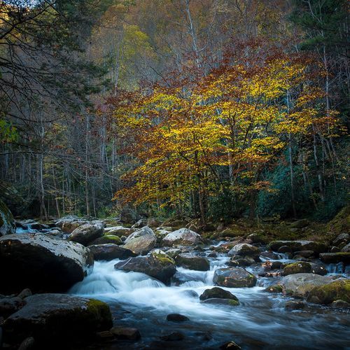
A residential environmental education center sets this area apart. The Great Smoky Mountains Institute at Tremont runs workshops and programs all year for learners of every age, from grade schoolers to teachers and Elderhostel groups, with offerings such as summer camps, family camps, naturalist workshops and hiking adventures. Near the institute, the West Prong Trail leaves Tremont Road and gains nearly 1,000 feet over 2.7 miles, linking to trail networks toward Elkmont and Cades Cove. Open to both hikers and horseback riders, it crosses the flank of Fodderstack Mountain through hardwoods mixed with pines, sourwoods and chestnuts, with the West Prong Little River below. Watch for seasonal wildflowers, deer, black bears and invasive wild hogs. A short side path at mile 0.3 reaches Walker Valley Cemetery, where residents from the late 1800s and early 1900s are buried.
Sugarlands
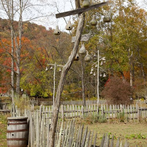
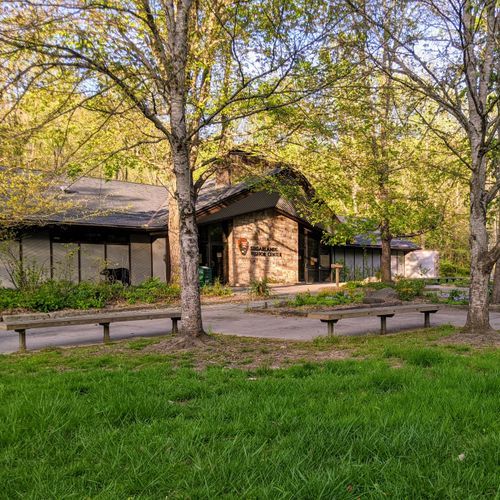
Just south of Gatlinburg, this busy area is the northern gateway to the park, yet several trails lead away from the roads to quiet streams, waterfalls and historic log cabins. Sugarlands Visitor Center, near the junction of Newfound Gap Road and Fighting Creek Gap Road, makes a natural first stop. Inside are exhibits on the park's plants and animals, a 20-minute park film, ranger-led programs, a bookstore and the Backcountry Permit Office. Nearby, the paved, flat Sugarlands Valley Nature Trail loops a half mile past rock walls and old stone chimneys beside the West Prong of the Little Pigeon River. The riverside Gatlinburg Trail, about 4 miles roundtrip, is one of the few park trails open to dogs and bikes. Other stops include the 1860s John Ownby Cabin and the streamside Chimneys Picnic Area along Newfound Gap Road.
Cataloochee
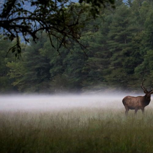
One of the park's two principal elk herds lives in this mountain-ringed valley, which also holds a long record of settlement. Beech Grove School, a two-room schoolhouse, dates to 1901, and Caldwell Place, finished by Hiram Caldwell in 1906, includes a two-story frame house, a barn and a springhouse. A 2-mile roundtrip walk follows a mountain stream through hardwood forest on a wide, graded path to the Steve Woody Place, once the heart of a large homestead. Riders can bring their horses to a dedicated horse camp in the valley. The most direct way in, Cove Creek Road, is narrow, winding gravel with steep drop-offs and no guardrails. The campground sits at 2,610 feet, with flush toilets and drinking water but no hookups or showers.
Deep Creek
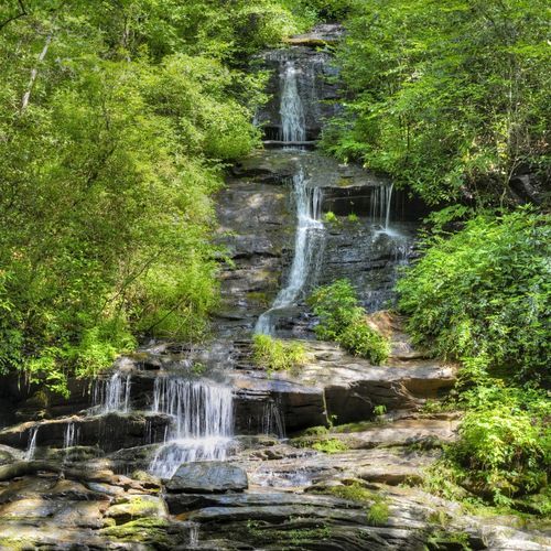
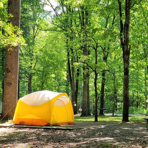
Three waterfalls on a single loop set this corner apart, strung along one of the most popular creeks in the park. The Deep Creek Waterfalls Loop covers 2.4 miles on several linked trail segments. A steep but brief climb leads to Juney Whank Falls, crossed on a footbridge, before the Deep Creek Horse Trail connects to the wide, gravel Deep Creek Trail. Benches face Tom Branch Falls, and a short side path on Indian Creek Trail reaches Indian Creek Falls. For a shorter waterfall hike, a 1.6-mile out-and-back visits just those two. Bright wildflowers color the creekside in spring, and the trees turn vivid in fall. Deep Creek Campground has 92 sites with flush toilets and drinking water, and the shady Deep Creek Picnic Area offers 58 sites with charcoal grills and a pavilion beside the water.
Oconaluftee
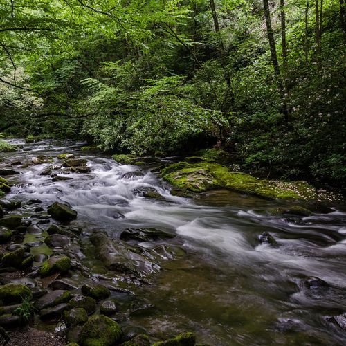
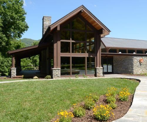
Of the two principal elk herds in the park, one lives in this wide river valley, which forms the southern gateway to the Smokies beside Cherokee, North Carolina, and the Qualla Boundary. The Oconaluftee Visitor Center makes a natural first stop, with exhibits on cultural history, ranger-led programs and a bookstore. Beside it, the Mountain Farm Museum gathers log buildings such as a farmhouse, barn, smokehouse and applehouse to show rural Appalachian life more than a century ago. Nearby Mingus Mill, a 19th-century gristmill, still runs on a water-powered turbine. The level, graveled Oconaluftee River Trail traces the riverbank past elk habitat and hardwood forest, and it welcomes leashed pets, bikes and strollers. For a longer outing, a 3.6-mile roundtrip hike leads to Chasteen Creek Cascade. A campground, picnic area and riding stable round out the valley.
Clingmans Dome
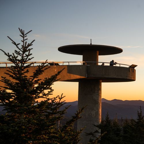
Kuwohi, formerly called Clingmans Dome, is the tallest peak in the Smokies and the highest point in Tennessee, rising to 6,643 feet. Reaching it starts with the seven-mile Kuwohi Road, which branches off Newfound Gap Road and climbs past scenic pullouts. Along the way, the forest shifts with elevation, much like driving from Georgia to Maine. From the parking area, a paved half-mile trail climbs steeply to the Kuwohi Observation Tower, with benches for catching your breath. The tower's circular view takes in valleys and ridges in every direction, reaching up to 100 miles on clear days. The Kuwohi Visitor Center sits at the start of the trail, with a small bookstore, restrooms and staff to answer questions. Weather can run 10 to 20 degrees cooler than the lowlands, and clear skies below don't guarantee views at the top.
Popular Hiking Trails
All trails →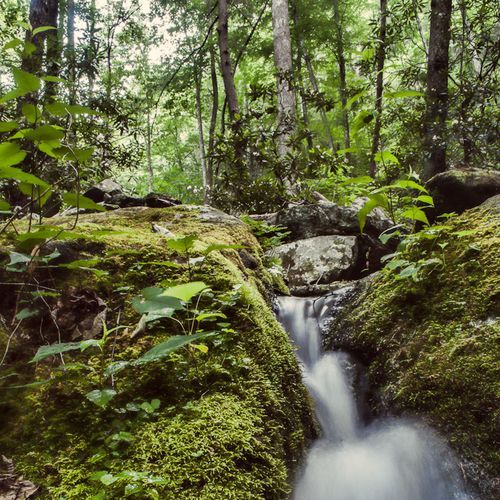
Laurel Falls Trail
Easy2.5 mi
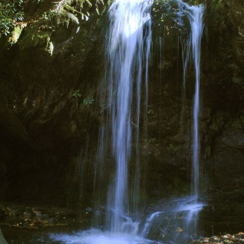
Trillium Gap Trail to Grotto Falls
Moderate2.6 mi
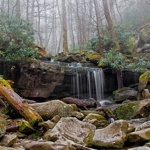
Rainbow Falls Trail
Moderate5.2 mi
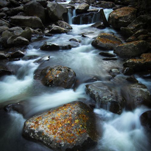
Ramsey Cascades Trail
Difficult7.8 mi
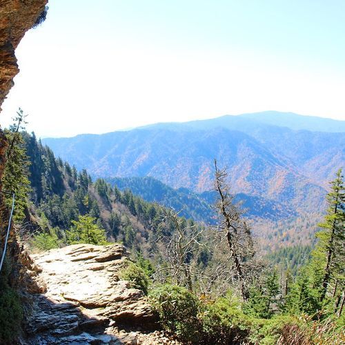
Alum Cave Trail
Moderate4.4 mi
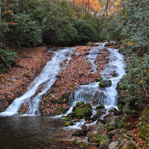
Indian Creek Trail
Easy1.7 mi
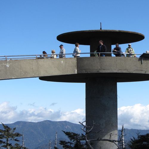
Kuwohi Trail (Clingman's Dome)
Moderate1.2 mi
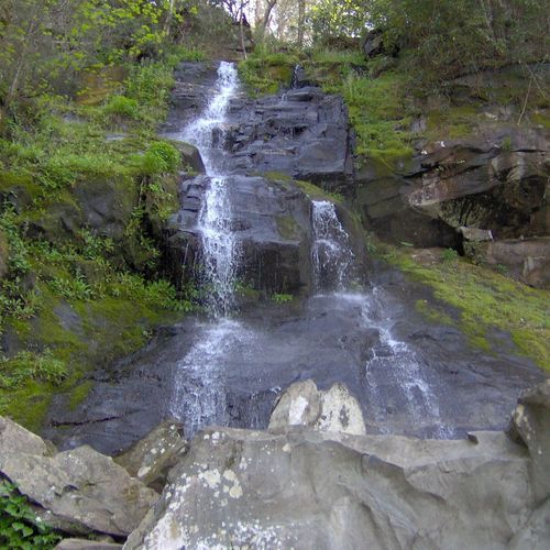
Gabes Mountain Trail to Hen Wallow Falls
Moderate4.3 mi
Gregory Ridge Trail
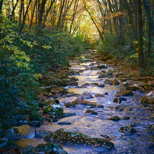
Difficult11.3 mi
Mount Cammerer Trail
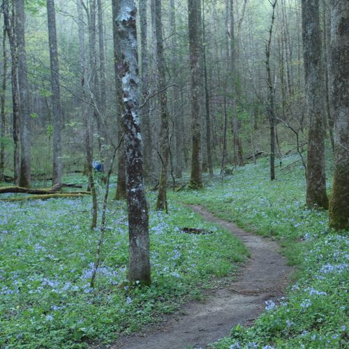
Difficult10.9 mi
Visitor Centers
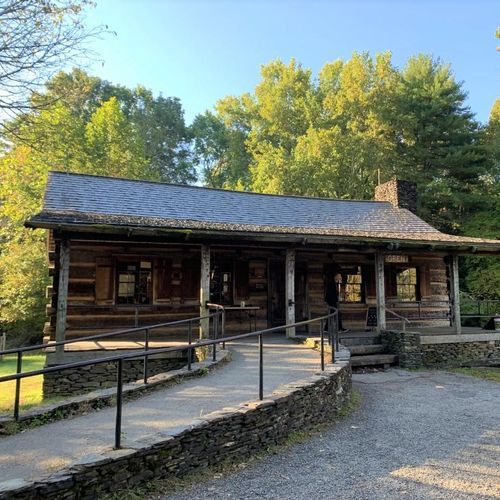
Cades Cove Visitor Center
9:00AM - 5:00PM
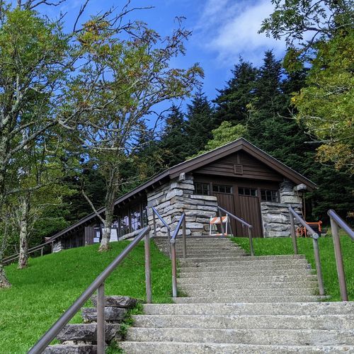
Kuwohi Visitor Center
9:30AM - 6:00PM
Oconaluftee Visitor Center
9:00AM - 5:00PM
Sugarlands Visitor Center
9:00AM - 5:00PM
Campgrounds
Camping guide →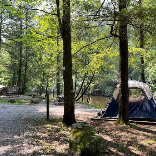
Abrams Creek Campground
Cades Cove
Balsam Mountain Campground
Cataloochee
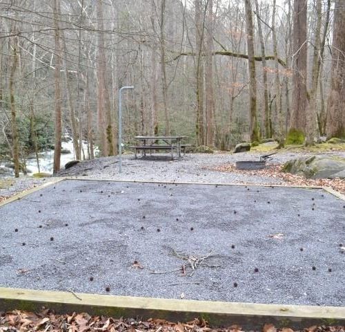
Big Creek Campground
Cataloochee
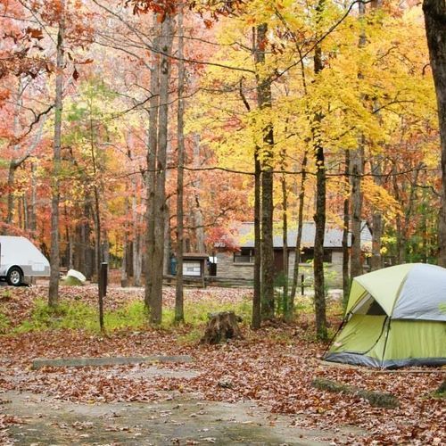
Cades Cove Campground
Cades Cove
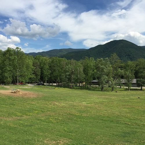
Cades Cove Group Campground
Cades Cove
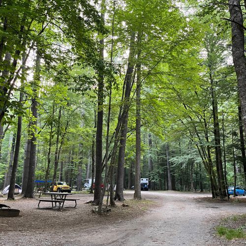
Cataloochee Campground
Cataloochee
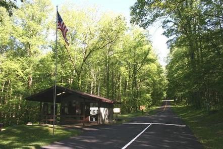
Cosby Campground
Greenbrier
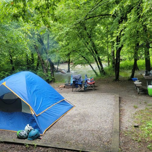
Deep Creek Campground
Deep Creek
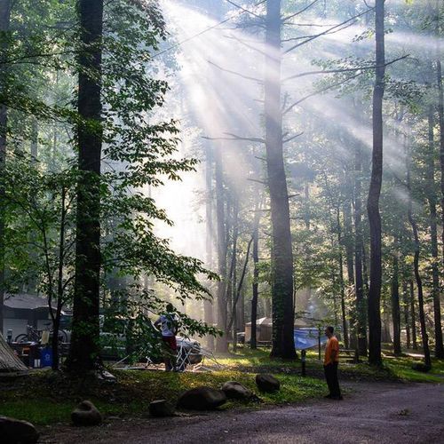
Elkmont Campground
Elkmont

Elkmont Group Campground
Elkmont
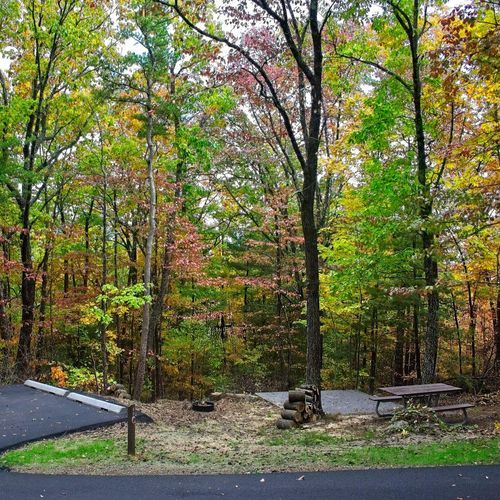
Look Rock Campground
Cades Cove
Smokemont Campground
Oconaluftee

Smokemont Group Campground
Oconaluftee
About the Park
Park Areas
Clingmans Dome stands as the highest point in Tennessee, offering panoramic views from its 6,643-foot observation tower. The half-mile paved trail to the tower is steep but accessible, often enveloped in mist, adding to its unique atmosphere. It is a significant location along the Appalachian Trail. Cades Cove provides a window into Southern Appalachian history with preserved 19th-century structures and an 11-mile loop road for wildlife viewing, including black bears and deer. Its open meadows and mountain backdrop offer excellent photographic opportunities. Elkmont combines history and nature, featuring remnants of a logging town and resort community. Visitors can explore the Elkmont Ghost Town and enjoy serene hiking trails, with opportunities for fishing and picnicking along the Little River.
Roaring Fork offers a scenic 5.5-mile loop road with preserved cabins and mills, popular for its cascading streams and the Rainbow Falls Trail. Greenbrier provides a quieter experience with diverse hiking trails, including Ramsey Cascades, and is known for its spring wildflowers. Tremont is a serene retreat with educational programs and trails like the Middle Prong Trail, ideal for birdwatching. Sugarlands serves as a convenient starting point with a visitor center and trailheads, including the family-friendly Cataract Falls trail. Cataloochee offers a peaceful experience with historic buildings and abundant wildlife, including elk. Deep Creek provides outdoor activities such as hiking and tubing, with picturesque waterfalls and rich biodiversity. Oconaluftee blends cultural and natural history, featuring the Mountain Farm Museum and the Oconaluftee River Trail, with common elk sightings and educational exhibits at the visitor center.
Park Guides
All 12 guides →Parking Tags and Beating America's Busiest Crowds
Every vehicle parked in Great Smoky Mountains National Park for more than 15 minutes needs a parking tag.
When to Go: 1,500 Wildflowers and Beyond
Spring is when the park's more than 1,400 flowering plant species begin their show. Trilliums, Dutchman's breeches, Solomon's seal, bee balm and even hardy orchids appear in the mountains and valleys, while flowering trees add color overhead.
Clingmans Dome and the Kuwohi Tower
Kuwohi, long known as Clingmans Dome, is the highest peak in Great Smoky Mountains National Park at 6,643 feet.
Laurel, Abrams and Grotto Falls
Water is everywhere in the Smokies, and two conditions explain why: plenty of rain and a steep drop in elevation.
Newfound Gap Road: Gatlinburg to Cherokee
Newfound Gap Road, also called US Highway 441, crosses the Great Smoky Mountains for 33 miles between Gatlinburg, Tennessee, and Cherokee, North Carolina.
