ParkaDownload
Mount Rainier National Park

Trails in Mount Rainier National Park

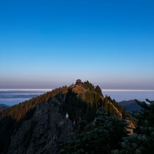
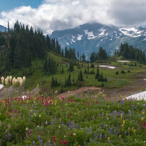
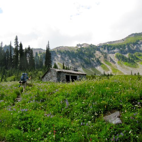
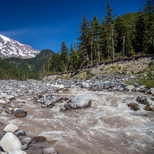
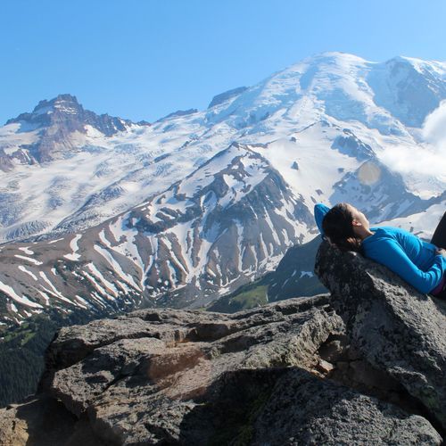
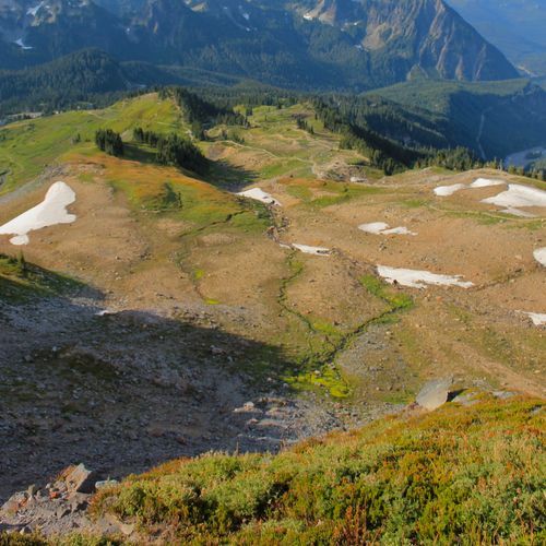
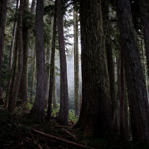
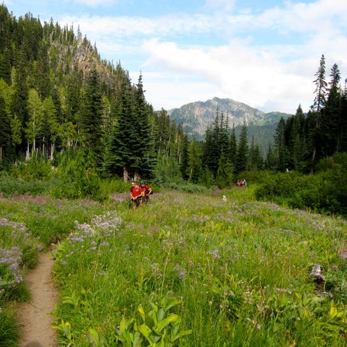
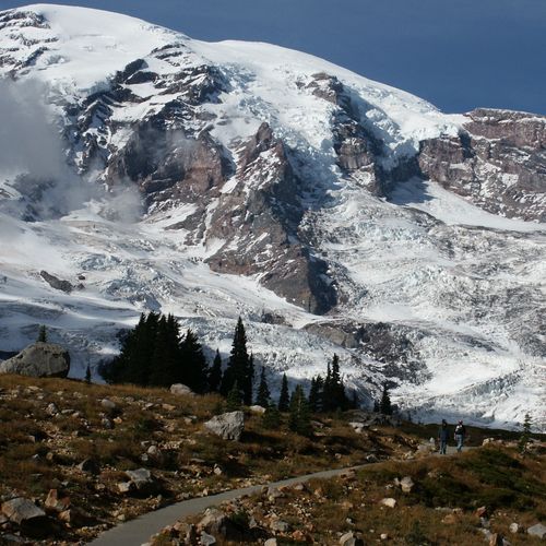
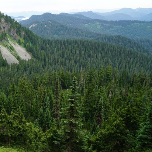
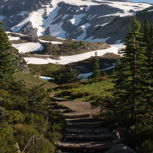
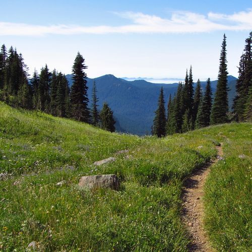
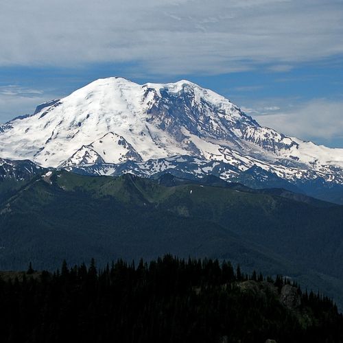
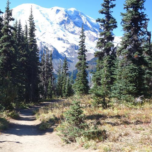
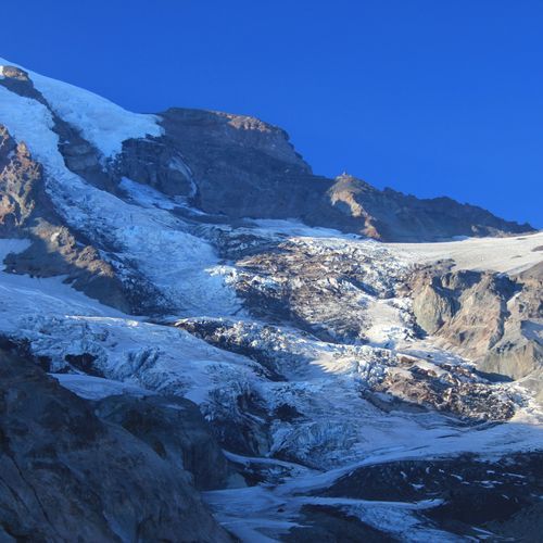
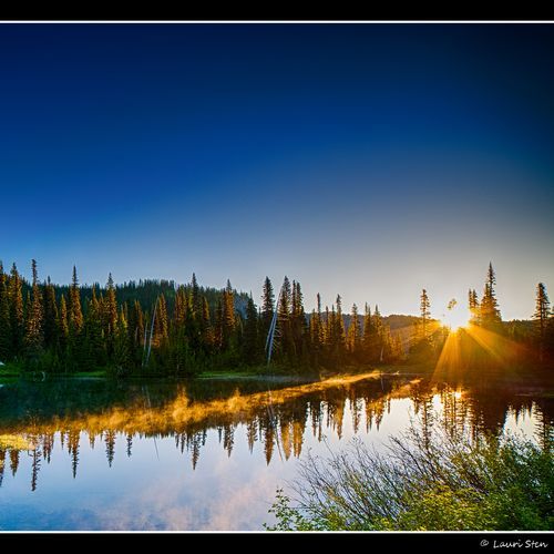
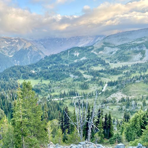
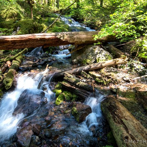
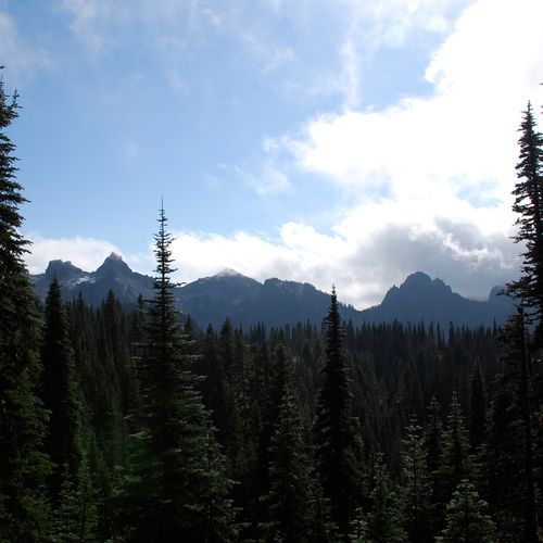
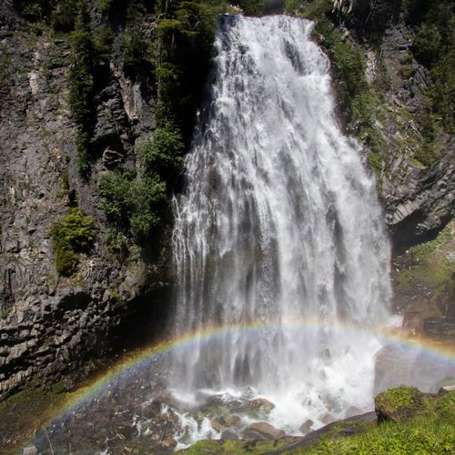
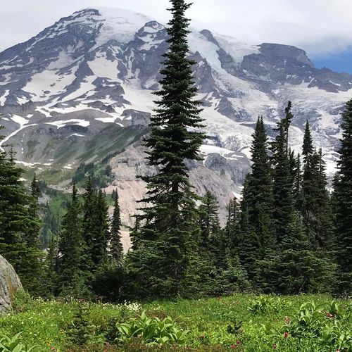
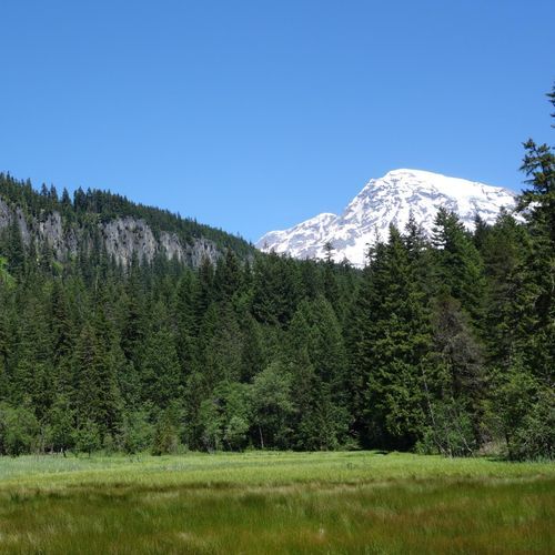
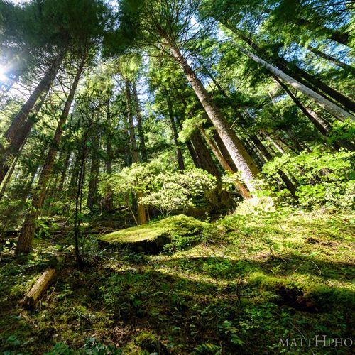
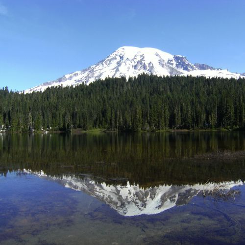
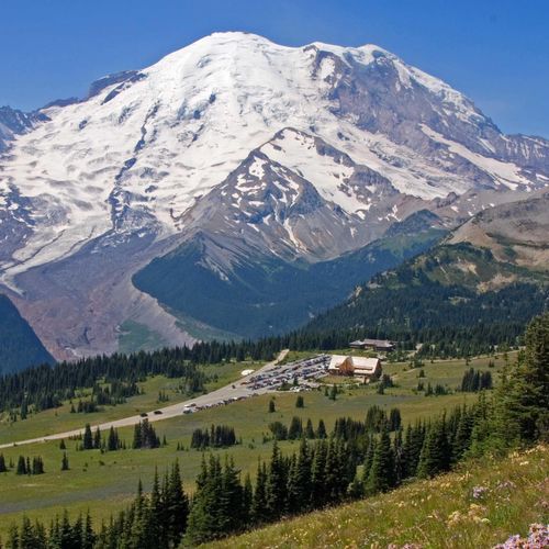
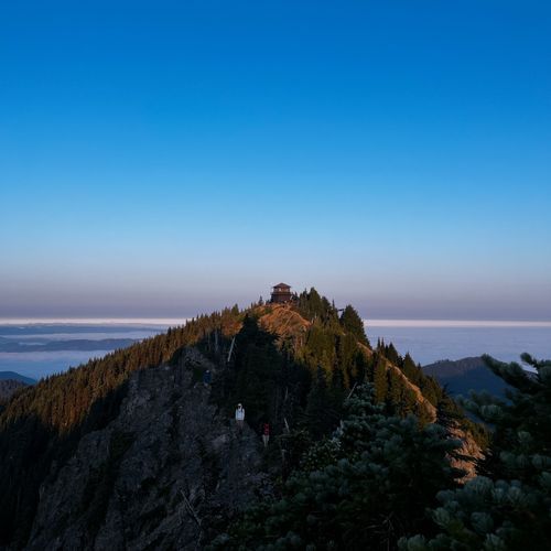
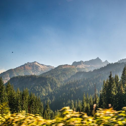
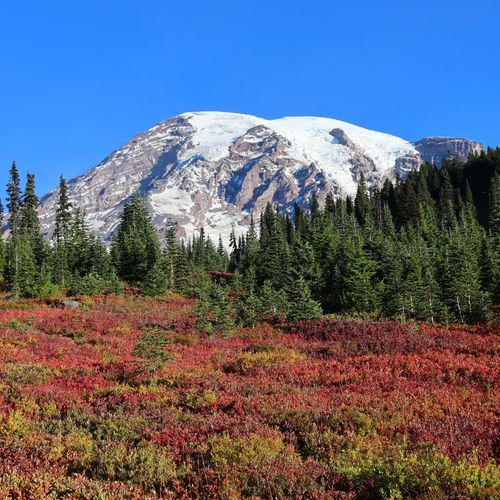
Mount Rainier National Park is a hiker’s park in the fullest sense, with 94 trails spread across river valleys, old-growth forest, subalpine meadows, and high alpine slopes. The range is impressive: easy walks for families and first-timers, a strong middle tier of moderate routes, and a deep bench of difficult and extreme trails for hikers who want long mileage, steep climbing, or a more rugged backcountry feel. That variety is part of the appeal. You can spend the morning on a gentle interpretive path and the afternoon on a lung-burning ascent, all while staying in the shadow of one of the most commanding mountains in North America. The standouts are legendary for good reason. In Paradise, the Skyline Trail is the signature hike, delivering wildflower meadows, glacier views, and one of the park’s most rewarding panoramas with relatively accessible effort. Around Sunrise, trails along Sourdough Ridge and out to Fremont Fire Lookout offer big, open-country scenery and some of the best high-elevation views in the park. Elsewhere, hikers can choose shorter scenic favorites like Nisqually Vista, Silver Falls, and Grove of the Patriarchs, or push farther into the wilderness on longer, more strenuous routes that reveal quieter corners of the mountain. Wherever you go, the scenery feels oversized: waterfalls thundering out of snowfields, luminous lakes, ancient forest, and the sprawling network of glaciers that makes Rainier feel alive and constantly in motion. What makes hiking here special is the sheer drama packed into nearly every mile. Few parks offer this combination of flower-filled meadows, massive volcanic landscapes, and close-up glacier scenery on such a well-developed trail system. Seasonal change only sharpens the experience, from roaring meltwater and lingering snow in early season to peak wildflower displays in midsummer and crystal-clear mountain views later on. Mount Rainier does not ask hikers to imagine grandeur; it delivers it directly, on trails that range from easy strolls to serious mountain outings.

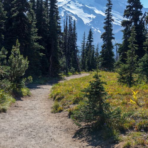
Burroughs Mountain Loop

Burroughs Mountain Loop

Difficult9.6 mi

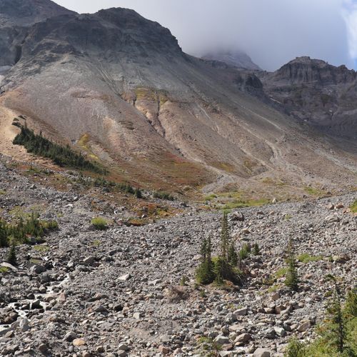
Hike through a series of rugged peaks offering breathtaking views of Mount Rainier's glaciated face. The trail traverses alpine tundra, featuring mats of ancient mountain heather and dwarfed plant species. It provides access to two main peaks, with an optional extension to a third for those seeking more adventure. The hike offers stunning vistas of surrounding mountains, including Mount Baker to the north and the Olympics to the west. The landscape shifts dramatically from lush meadows to barren, rocky terrain, showcasing the unique biodiversity of the region.

Comet Falls Trail

Comet Falls Trail

Difficult3.5 mi

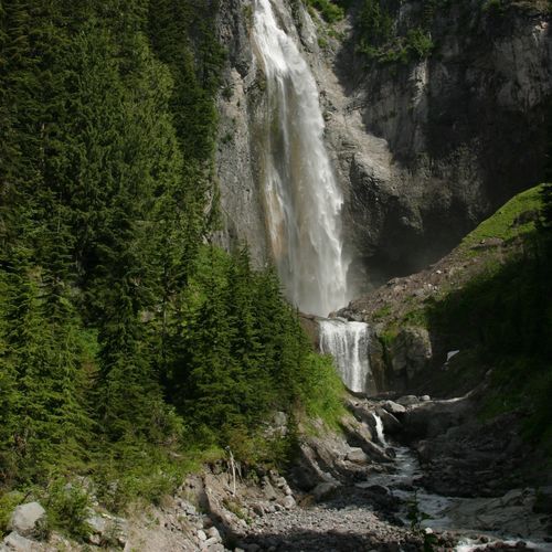
Hike through a narrow, avalanche-scarred valley to witness one of the tallest waterfalls in the area. The trail follows Van Trump Creek, offering views of smaller cascades before reaching the main attraction. Along the way, traverse old-growth forests and cross rugged terrain, with opportunities to spot wildlife like pikas and marmots. The waterfall's sheer scale and scenic surroundings make it a standout destination. For those continuing beyond, Van Trump Park offers stunning views of surrounding mountains and wildflowers in early summer.

Cowlitz Divide Trail

Cowlitz Divide Trail

Difficult10.5 mi

This trail traverses dense forest and climbs to the Cowlitz Divide, where it opens into subalpine meadows and offers expansive views of Mount Rainier from a 5,914-foot knoll. The route includes steep climbs and descents and drops about 800 feet into Indian Bar, a large meadow where the Ohanapecosh River flows through. If transportation can be arranged, Indian Bar can be combined with the Summerland section of the Wonderland Trail for a scenic one-way trip.

Glacier Basin Trail

Glacier Basin Trail

Difficult8.1 mi

Follow the Inter Fork of the White River through a forested glen to a wide basin offering breathtaking views of nearby glaciers and mountains. In summer, enjoy vibrant wildflower blooms. The trail passes a side trail to Emmons Moraine, providing a glimpse of the largest glacier in the contiguous U.S. Continue to the Glacier Basin campsite, a hub for climbers and nature enthusiasts alike.

Gobbler's Knob Trail

Gobbler's Knob Trail

Moderate11.6 mi

The Gobblers Knob Trail begins with a walk up the closed portion of Westside Road to Round Pass, then follows a trail to Lake George, a small mountain lake on the northwest shoulder of Mount Wow. From Lake George the route continues and becomes steeper as it climbs to Gobblers Knob Lookout, a historic fire lookout. The trail provides access to the Lake George wilderness camp (backcountry permits required) and offers mountain vistas from the lookout. Note that bikes may be used on the closed road up to Round Pass but are not allowed on the trails.

Northern Loop Trail

Northern Loop Trail

Extreme26.3 mi

Winds through a diverse range of ecosystems, from lush old-growth forests to subalpine meadows bursting with wildflowers in the summer. The trail offers sweeping views of Mount Rainier and the surrounding peaks, as well as a chance to see wildlife such as black bears, marmots, and elk. Along the way, hikers will encounter remnants of the area's volcanic history, including lava flows and pumice fields. The trail also passes several serene mountain lakes, providing opportunities for camping and fishing. Despite its challenging terrain, the trail rewards hikers with its stunning landscapes and unique natural features.

Pinnacle Peak Trail

Pinnacle Peak Trail

Moderate2.8 mi

This trail offers breathtaking views of Mount Rainier and the surrounding landscape. Hikers can spot wildlife like pikas and marmots while enjoying the scenic vistas from the saddle. The trail begins at Reflection Lakes and climbs into the Tatoosh Range, ending at a 5,920-foot saddle between Pinnacle Peak and Plummer Peak. Expect steep sections that skirt dropoffs and areas of loose rock or lingering snow, which can persist into summer. Stay on the trail and follow Leave No Trace to protect adjacent research areas.

Skyline Trail

Skyline Trail

Difficult5.6 mi

Experience breathtaking views of glaciers and towering peaks amidst vibrant wildflower displays. The trail offers stunning scenery, including vistas of distant mountains on clear days. It winds through diverse landscapes, from lush meadows to rugged mountain ridges.

Comet Falls

Comet Falls

Difficult3.3 mi

Follow Van Trump Creek through a forest and rocky gorge to reach Comet Falls, one of the park's most spectacular waterfalls. Along the way, enjoy views of smaller cascades like Christine and Bloucher Falls. The trail offers stunning scenery and wildlife viewing opportunities, including marmots and pikas.

Disappointment Cleaver Route

Disappointment Cleaver Route

Difficult3.2 mi

This route traverses the Muir Snowfield and Ingraham Flats, offering breathtaking views of surrounding mountains. It requires glacier travel and crevasse crossings, making it a true test of endurance for experienced climbers.

Indian Bar Trail

Indian Bar Trail

Difficult7 mi

Trek through a forested ascent, followed by a ridge walk offering panoramic views of Mount Rainier and surrounding meadows. The trail descends into a broad, green valley, where the Ohanapecosh River divides the landscape. The area is renowned for its numerous waterfalls cascading down lava cliffs and abundant wildlife, including frequent bear sightings. Late summer brings vibrant wildflowers and the haunting sounds of elk bugling in the distance.
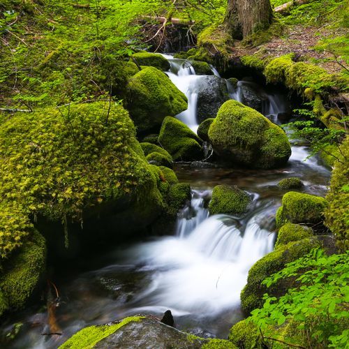
Klapatche Park Trail

Klapatche Park Trail

Extreme9.3 mi

Wander through serene alpine meadows abundant with subalpine wildflowers and enjoy grand views of Mount Rainier. The trail follows the South Puyallup River before ascending to high meadows, featuring serene Aurora Lake. This scenic route offers breathtaking vistas and tranquil backcountry experiences, making it a favorite among hikers.

Mount Fremont Lookout Trail

Mount Fremont Lookout Trail

Moderate2.8 mi

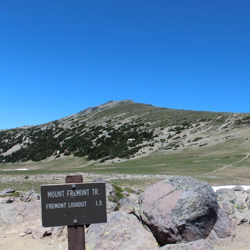
This trail traverses subalpine meadows and rocky ridges, offering breathtaking views of Mount Rainier, the Olympic Mountains, and the Cascade Range. The historic Mount Fremont Fire Lookout provides a unique vantage point for spotting wildlife like mountain goats and black bears in Grand Park.

Myrtle Falls Trail

Myrtle Falls Trail

Easy0.4 mi

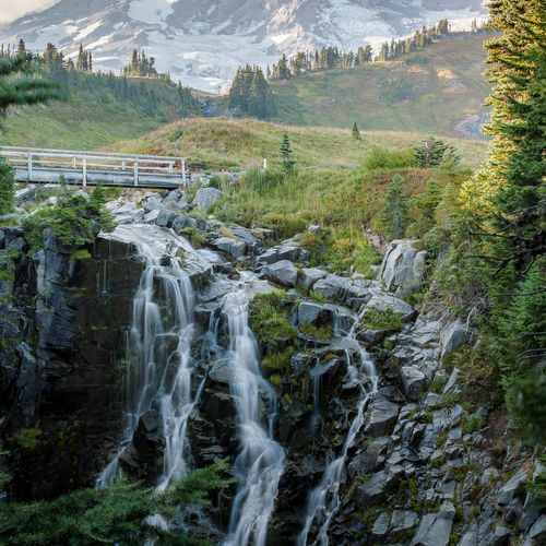
Located in a scenic area, the trail offers a short, easy walk to a stunning viewpoint. The highlight is a 72-foot waterfall, with the iconic mountain looming in the background, creating a breathtaking photo opportunity. The trail is surrounded by wildflowers and offers views of the surrounding landscape, including the Paradise River. The area is popular with photographers and nature enthusiasts alike, providing a unique blend of natural beauty and accessibility.

Naches Peak Loop Trail

Naches Peak Loop Trail

Moderate3.5 mi

This loop trail offers breathtaking views of Mount Rainier, traversing through beautiful subalpine meadows and past serene lakes. Late summer and early fall bring an abundance of huckleberries and vibrant wildflowers, making it a picturesque hike. The trail connects with the Pacific Crest Trail, offering a mix of national forest and park landscapes.

Panorama Point Trail

Panorama Point Trail

Moderate1.9 mi

Hike through a vibrant tapestry of subalpine wildflowers, offering breathtaking views of Mount Rainier and the Nisqually Glacier. The trail ascends above the tree line, providing panoramic vistas of the Tatoosh Range and distant volcanoes like Mount Adams and St. Helens. Wildlife such as marmots and deer are frequently spotted. A highlight includes a waterfall visible across the Nisqually Glacier canyon. The descent offers stunning views back towards Mount Rainier, making every step an unforgettable experience.

Spray Park Trail

Spray Park Trail

Moderate6 mi

This hike traverses open forest before reaching the Eagle's Cliff overlook, offering spectacular views of Mount Rainier and the Mowich Glacier. A short spur trail leads to a viewpoint of Spray Falls, followed by a steep climb into the subalpine meadows of Spray Park, known for vibrant wildflowers during summer.

Summerland Trail

Summerland Trail

Difficult4.3 mi

This trail ascends through old-growth forests and emerges into vibrant subalpine meadows filled with wildflowers. It offers breathtaking views of Mount Rainier and Little Tahoma, with frequent sightings of mountain goats and other wildlife. The trail continues to Panhandle Gap, providing panoramic views of the surrounding landscape.

Alta Vista Trail

Easy0.5 mi

Enjoy breathtaking views of Mount Rainier and the surrounding foothills on this family-friendly loop. The trail offers stunning displays of wildflowers during summer and is easily accessible from the Paradise area. It's a great option for combining with other nearby trails.

Avalanche Lily Trail

Avalanche Lily Trail

Easy0.2 mi

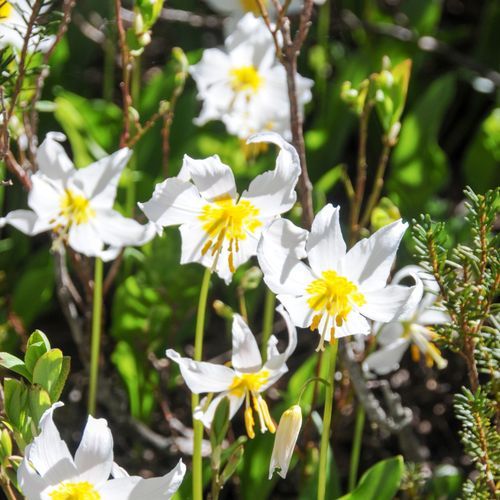
This trail offers a scenic walk through a wildflower-filled area, featuring masses of Avalanche Lilies and other blooms, with stunning views of Mount Rainier. The paved path makes it accessible for a variety of visitors.

Bench Lake

Bench Lake

Easy0.7 mi

Set amidst a subalpine landscape, the lake rests on a flat shelf of land, providing breathtaking views of Mount Rainier. The surrounding area is rich with wildflowers and berry bushes, including blueberries and huckleberries. A short, steep spur trail leads to the lake's shore, where visitors can enjoy a peaceful atmosphere and take in the majestic scenery. The lake's serene waters reflect the mountain's snow-capped summit on clear days, making it a perfect spot for photography and relaxation.

Carbon Glacier Trail

Carbon Glacier Trail

Extreme11.9 mi

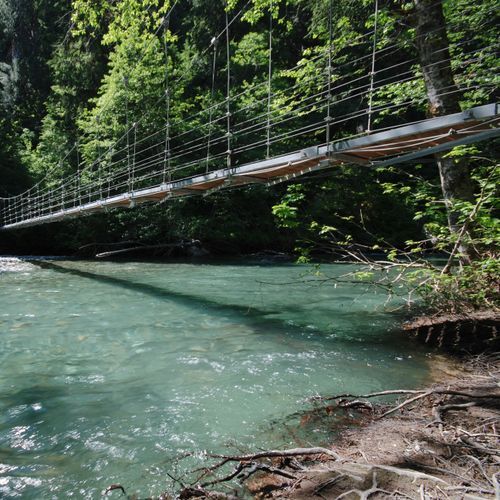
Follow the Carbon River through a lush forest to witness the dramatic Carbon Glacier, the lowest-elevation glacier in the contiguous United States. The trail offers stunning views of Mount Rainier and features seasonal foot logs and a suspension bridge over the Carbon River. The glacier's unique location provides a shaded environment, contributing to its robust condition compared to other glaciers in the area.

Chenuis Falls Trail

Chenuis Falls Trail

Moderate1.2 mi

This trail winds through a lush temperate rainforest, offering stunning views of old-growth trees and the serene Chenuis Falls. The journey involves crossing the Carbon River, which can be challenging during high water levels. The falls themselves are a series of cascades ending in a picturesque pool, making for a tranquil hike amidst nature's beauty.

Crystal Lakes Trail

Crystal Lakes Trail

Difficult3.8 mi

This trail ascends through a forest, offering glimpses of Mount Rainier, before reaching a basin with two picturesque lakes. The area is renowned for its vibrant wildflowers and abundant wildlife, including elk and mountain goats. The scenic setting provides a serene backdrop for hikers to enjoy nature's beauty.

Crystal Peak Trail

Crystal Peak Trail

Difficult3.9 mi

Ascend through dense forests and meadows filled with wildflowers to reach a former fire lookout site. Enjoy panoramic views of six prominent volcanoes, including Rainier, St. Helens, and Hood. The trail offers a challenging climb with rewarding vistas of surrounding peaks and lakes.

Dead Horse Creek Trail

Dead Horse Creek Trail

Easy1.2 mi

This trail provides a unique perspective on the Nisqually Glacier valley and connects to the Moraine Trail, offering stunning glacier views. It is a moderately challenging hike that showcases the natural beauty of the area.

Deer Creek Falls to Owyhigh Lakes

Difficult4.9 mi

Pass through mature forests and ascend via switchbacks to reach secluded mountain lakes surrounded by wildflowers in mid-summer. The jagged cliffs of Governors Ridge rise high above the lakes, while Tamanos Mountain lies to the west. Along the way, encounter waterfalls like Deer Creek Falls, a 62-foot two-stepped cascade. The trail offers opportunities for camping at Tamanos Creek and summiting Mt. Tamanos.

Dege Peak Trail

Dege Peak Trail

Easy0.3 mi

This trail offers stunning views of Mount Rainier, the Sunrise area, and the surrounding Cascades without the crowds of more popular trails. It follows the scenic Sourdough Ridge before a steep climb to the summit, providing vistas of glaciers and distant peaks like Mount Adams.

Eagle Peak Trail

Eagle Peak Trail

Difficult3.3 mi

This trail offers scenic views of the surrounding landscape, including distant mountains and valleys. The hike takes you through varied terrain, often featuring dense forests and open meadows. While the exact location of this trail is unclear, it shares characteristics with trails found in national parks like Mount Rainier, known for their dramatic vistas and diverse ecosystems.

Eastside Trail

Eastside Trail

Extreme11.2 mi

This trail winds through subalpine meadows and patchy forests surrounding Tipsoo Lake, offering stunning views of Mount Rainier. It follows the courses of Chinook Creek and the Ohanapecosh River, showcasing old-growth forests and numerous waterfalls. The trail provides a serene escape from the park's busier areas, with diverse ecosystems and scenic vistas.

Emerald Ridge

Extreme10.4 mi

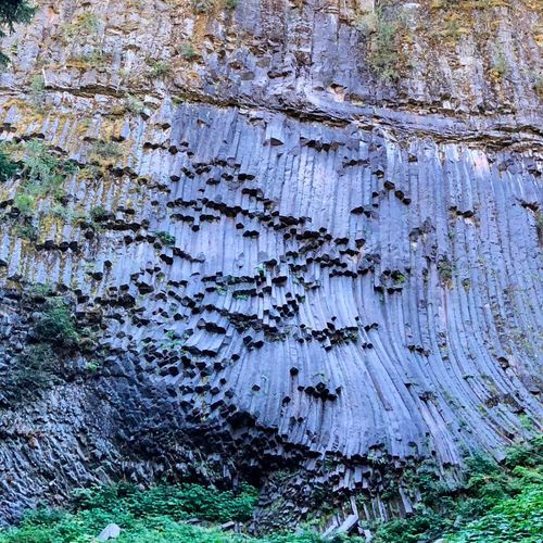
Hike through old-growth forests and ascend to subalpine meadows, where wildflowers like aster, harebell, and western anemone thrive in volcanic earth. The trail offers spectacular views of Mount Rainier, including the Tahoma Glacier. Along the way, observe unique geological formations such as hexagonal andesite columns. The landscape transitions from forested canopy to rugged, rocky terrain, culminating in breathtaking vistas from the ridge.

Emerald Ridge Trail

Emerald Ridge Trail

Difficult5.7 mi

Climb through old-growth forests to reach subalpine meadows, where wildflowers like aster and harebell thrive. The trail offers breathtaking views of Mount Rainier and the Tahoma Glacier. Along the way, observe unique geological formations, including hexagonal andesite columns. The transition from forest to subalpine terrain provides a dramatic change in scenery, with volcanic rock and rugged landscapes dominating the higher elevations.

Emmons Glacier Route

Emmons Glacier Route

Difficult2.2 mi

This route involves traversing glaciers, navigating crevasses, and ascending steep snow slopes. It offers breathtaking views of surrounding landscapes and is a challenging climb requiring extensive mountaineering experience.

Emmons Moraine Trail

Emmons Moraine Trail

Easy0.5 mi

This trail offers stunning views of the Emmons Glacier, with its unique blend of ice towers and debris-covered sections. The moraine itself is a testament to the power of ice, littered with massive boulders and small glacial lakes. The trail begins in a forest, crosses a glacial stream, and ascends to reveal breathtaking vistas.

Glacier Vista Trail

Glacier Vista Trail

Easy0.2 mi

Soak in breathtaking views of Mount Rainier, known as Tahoma or 'great white mountain,' and the Nisqually Glacier. The trail offers a commanding backdrop for photos, with the mountain's peak standing at 14,410 feet. It is a popular route that connects with other trails, providing access to additional viewpoints like Panorama Point, which offers stunning vistas of surrounding mountains and valleys on clear days.

Golden Gate Trail

Golden Gate Trail

Moderate1 mi

This trail offers a serene journey through varied landscapes, providing scenic views and opportunities to connect with nature. However, specific details about the trail's features are not available due to its absence in official sources.

Golden Lakes

Golden Lakes

Difficult9.3 mi

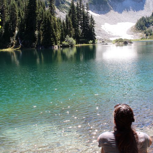
Tucked away on a high divide, a dozen-plus small lakes shimmer with golden sunset colors, offering serene views and tranquil surroundings. The journey involves a descent through old-growth forest to the South Mowich River, followed by a steep ascent. Along the way, historic ranger cabins stand as testaments to the area's rich past. The lakes provide a picturesque setting for camping and swimming, with sunset views stretching to the western horizon.
Golden Lakes Trail

Golden Lakes Trail

Moderate3 mi

A serene cluster of over a dozen subalpine lakes, known for their golden sunset reflections, lies nestled in a high divide between watersheds. The area is surrounded by old-growth forests and offers scenic views of wildflower meadows and bear grass-covered ridges. An historic ranger cabin stands alongside one of the lakes, providing a picturesque backdrop for hikers. The trail passes through a mix of forest and meadow landscapes, offering glimpses of Mount Rainier's majestic presence.

Grand Ridge via Lake Eleanor

Grand Ridge via Lake Eleanor

Moderate4.2 mi

The journey begins in lush forests, passing by the serene Lake Eleanor, before ascending into expansive meadows filled with a kaleidoscope of wildflowers. The trail offers breathtaking views of Mount Rainier, its glaciers, and surrounding peaks. As the forest gives way to open meadows, the scenery shifts to reveal a majestic backdrop of mountains and valleys, creating an unforgettable hiking experience amidst nature's grandeur.

Green Lake Trail

Green Lake Trail

Difficult4.5 mi

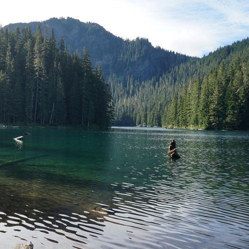
This trail winds through a majestic old-growth forest, offering breathtaking views of towering firs, cedars, and hemlocks. The hike culminates at Green Lake, a tranquil mountain lake, and includes a stop at the picturesque Ranger Falls. The surrounding landscape is rich with natural beauty, making it a popular destination for nature lovers.

Grindstone Trail

Grindstone Trail

Easy0.8 mi

This trail offers a gentle walk through a forested area, providing a peaceful escape with its natural surroundings. The terrain is primarily ground, making it suitable for casual hikers. While it may not offer dramatic views, it's a great option for those seeking a relaxed outdoor experience.
High Lakes Trail

High Lakes Trail

Easy1.1 mi

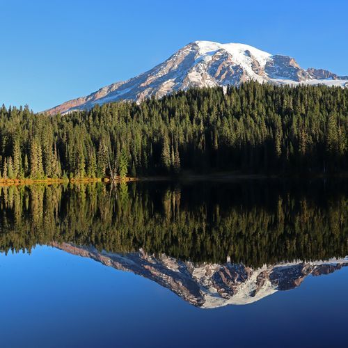
This loop trail offers scenic views of multiple lakes, providing a serene hiking experience amidst nature. The trail is surrounded by picturesque landscapes, making it a popular choice for those seeking a tranquil hike.

Huckleberry Creek Trail

Huckleberry Creek Trail

Difficult8.6 mi

This trail winds through groves of ancient trees, utilizing a historic route that predates the national park. It offers a unique blend of forest landscapes and scenic views, transitioning from the Mount Baker-Snoqualmie National Forest into the national park.

Indian Henry's Hunting Ground via Kautz Creek

Difficult5.3 mi

Begin with a flat mile through a forest regrowing from past mudflows, then ascend steeply to reveal views of Mount Adams and glimpses of Mount Rainier. The trail opens up to dramatic vistas and meadows filled with wildflowers. A notable stop is the historic patrol cabin, offering a serene backdrop against the mountain's grandeur. An optional detour leads to Mirror Lakes, where the mountain's reflection creates a picturesque scene amidst marshy trails and vibrant flora.

Indian Henry's Hunting Ground via Longmire Trail

Indian Henry's Hunting Ground via Longmire Trail

Difficult6.3 mi

Wander through dense forests and cross Kautz Creek, passing by Pyramid Creek Camp and Devils Dream Camp. The trail opens up to stunning views at Kiya Lake, with its serene landscape of trees and water. Beyond lies Indian Henry's Hunting Ground, a picturesque meadow framed by Rainier's majestic presence. A historic patrol cabin stands here, offering a glimpse into the region's rich history. Nearby, Mirror Lake provides breathtaking reflections of the mountain, a scene immortalized in a 1934 postage stamp.

Klepatchee Park via West Side Road

Klepatchee Park via West Side Road

Extreme10.1 mi

Follow a scenic route along a closed road, passing through old-growth forests and beneath columnar andesite cliffs. The journey leads to a picturesque high meadow, featuring Aurora Lake, which reflects the splendor of a nearby mountain. The area is abundant with wildlife and offers breathtaking views of surrounding peaks and valleys. Camping sites are nestled above the lake, providing a serene wilderness experience with opportunities to observe bears, mountain goats, and deer.

Lake George Trail

Lake George Trail

Difficult4.5 mi

This trail leads to a pristine mountain lake nestled in the northwest shoulder of Mount Wow. The hike offers a gradual incline through old-growth forest to Lake George, where a historic patrol cabin awaits. Continuing to Gobblers Knob Lookout provides spectacular views of Mount Rainier and surrounding glaciers. The final stretch is steep with rocky switchbacks, culminating in breathtaking vistas on clear days.

Lake James Trail

Extreme12.9 mi

Meander through a wide-open meadow with mountain views, passing small tarns before descending into a forested canyon. The trail transitions from deep rainforest to subalpine landscapes, offering scenic views and diverse ecosystems. Along the way, hikers can stop at notable spots like Yellowstone Cliffs and Windy Gap, featuring rock-strewn meadows and dependable water sources. The journey culminates at a serene lake, making it an ideal backpacking destination.

Laughingwater Creek Trail

Laughingwater Creek Trail

Easy1.5 mi

This trail leads hikers through varied terrain, including forests and meadows, culminating in a high point with scenic views. The route involves significant elevation change, offering a challenging yet rewarding experience.

Mazama Ridge Trail

Mazama Ridge Trail

Moderate1.8 mi

This trail traverses through stunning alpine meadows, offering breathtaking views of Mount Rainier and the Tatoosh Range. The scenic route includes diverse landscapes, from subalpine forests to expansive meadows, making it a highlight for hikers seeking panoramic views and wildflowers during the summer months.

Mystic Lake Trail northern approach

Extreme9.4 mi

Follow the path through a dramatic glacial landscape, offering intimate views of the Carbon Glacier, one of the lowest elevation glaciers in the contiguous U.S. The trail ascends steeply, passing by Goat Island Rock and flanking the glacier closely before reaching Moraine Park, a sub-alpine haven of wildflowers and marmots. The journey culminates at Mystic Lake, where the surrounding meadows are filled with wildflowers and the lake's calm waters reflect the majestic Mineral Mountain to the south and Old Desolate to the north.

Mystic Lake via Sunrise

Extreme8.9 mi

Hike through meadows and forests, offering stunning views of Mount Rainier, Mount Adams, and Mount Baker on clear days. The trail passes by the Winthrop Glacier, showcasing its crevasse fields and moraines. Enjoy wildflowers at Berkeley Park and spectacular vistas at Skyscraper Pass. Mystic Lake provides a tranquil setting with reflections of surrounding mountains, especially during sunrise and sunset. The journey includes a mix of exposed ridges and shaded forests, with opportunities to spot wildlife like bears and goats.

Narada Falls Trail

Narada Falls Trail

Easy0.6 mi

This trail leads to a stunning viewpoint of Narada Falls, where the Paradise River plunges over a nearly-vertical andesite face. The area is known for its natural beauty and accessibility, making it a popular stop for visitors. The trail is steep and often wet, but the scenery is well worth the effort.

Nisqually Vista Trail

Nisqually Vista Trail

Easy0.8 mi

Wander through subalpine meadows and evergreen forests to multiple viewpoints overlooking the Nisqually River Valley. The trail features vibrant wildflowers in summer and fall foliage, with the Nisqually Glacier and Mount Rainier as stunning backdrops. Accessible year-round, it transforms into a snowshoe route in winter.

Owyhigh Lakes Trail

Owyhigh Lakes Trail

Moderate3.6 mi

This trail leads through a dense forest, offering shade and scenic views of wildflowers in mid-summer. The lakes are shallow but picturesque, set against the backdrop of Governors Ridge. Tamanos Mountain lies to the west, providing a dramatic landscape. The trail continues beyond the lakes, descending into the Ohanapecosh River Valley for those seeking a longer adventure.

Palisades Lake Trail

Palisades Lake Trail

Difficult4.7 mi

This trail offers a serene journey through seven pristine alpine lakes, surrounded by vibrant wildflowers and abundant wildlife. Highlights include the picturesque Hidden Lake and Upper Palisades Lake, with opportunities to spot pikas and marmots. The trail traverses rolling meadows and rocky ridges, providing stunning views of the surrounding landscape.

Paradise Glacier Trail

Paradise Glacier Trail

Easy1.1 mi

This trail offers stunning views of the mountain and surrounding landscape, featuring alpine wildflowers and historical markers. It leads to a former glacier site, now a testament to climate change, with scenic tarns and waterfalls along the way.

Pebble Creek Trail

Pebble Creek Trail

Difficult2.5 mi

This trail offers a steep climb to a pass with views of Abiathar Peak and Barronette Peak. It descends into a picturesque alpine valley, where Pebble Creek flows through willow-lined banks. The trail continues through forests and meadows, providing opportunities for wildlife viewing and photography.

Puyallup Trail #248

Puyallup Trail #248

Easy3.2 mi

This trail traverses through dense forests and meadows, offering glimpses of Mount Rainier. It leads to Goat Lake, a picturesque destination, and continues into the national park, providing stunning views and diverse landscapes. The trail is suitable for hikers seeking moderate challenges with rewarding scenery.

Pyramid Peak Trail

Pyramid Peak Trail

Moderate1.4 mi

Hike through old-growth forest and enjoy stunning views of Lake Crescent, Lake Sutherland, and the Strait of Juan De Fuca. The trail features a former World War II aircraft advisory lookout cabin, offering unique historical insights. The hike includes a challenging landslide section and steep switchbacks, culminating in breathtaking vistas.

Rampart Ridge Trail

Rampart Ridge Trail

Extreme4.8 mi

Hike through an old-growth forest along an ancient lava flow, enjoying breathtaking views of Mount Rainier and the Nisqually River Valley. The trail features a mix of dense forest and open vistas, with opportunities to spot wildlife like deer. The loop offers a variety of landscapes, including marshy areas and scenic overlooks.

Shriner Peak Trail

Shriner Peak Trail

Difficult4.1 mi

Ascend through a shaded forest before entering an exposed, old burn area. The trail offers breathtaking views of Mount Rainier, the Ohanapecosh Valley, and surrounding mountains. The historic fire lookout at the summit provides a unique resting point with stunning vistas.

Silver Falls Loop

Silver Falls Loop

Moderate2.8 mi

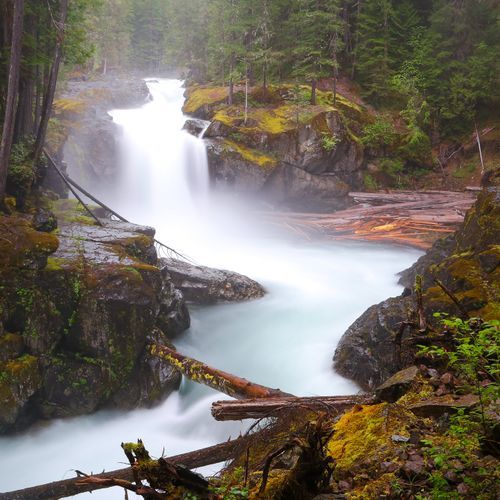
Wander through an enchanting old-growth forest, where giant trees tower above. The highlight is a stunning waterfall, cascading 40 feet into a deep blue pool. The trail follows the Ohanapecosh River, offering multiple viewpoints of the falls and the river's crystal-clear waters. Along the way, historic hot springs and moss-covered landscapes add to the natural beauty. The forest's tranquility and the river's vibrant rapids create a serene yet dynamic hiking experience.

Silver Forest Trail

Silver Forest Trail

Easy1.5 mi

Wander through a serene landscape dominated by silvery trunks of subalpine firs and whitebark pines, remnants of a past fire. The trail offers breathtaking views of glaciers and mountains, including the Emmons Glacier, the largest in the contiguous U.S. by area. Seasonal wildflowers like lupine and paintbrush add vibrant colors to the meadows, while the White River valley stretches out below. The trail's gentle slope makes it an ideal choice for families and those seeking a peaceful hike with spectacular vistas.

Skyscraper Mountain Trail

Skyscraper Mountain Trail

Easy0.4 mi

Follow a scenic route through alpine meadows and rocky ridges, offering breathtaking views of Mount Rainier and the surrounding landscape. The path winds through wildflower-filled fields and past Frozen Lake, eventually leading to a steep, unmaintained climb up a mountain. From the summit, enjoy a 360-degree panorama that includes the Burroughs, Vernal Park, and the Fremont Lookout. Wildlife such as marmots and mountain goats are frequently spotted along the way.

Snow Lake

Snow Lake

Easy1.1 mi

Tucked within the craggy Tatoosh Range, these subalpine lakes are a serene escape. The trail undulates over low ridges, offering stunning views of Mount Rainier and an explosion of wildflowers in mid-summer. Bench Lake rests on a natural bench, while Snow Lake is larger and deeper, surrounded by crystal clear waters and rocky outcroppings. The area is home to a variety of wildlife, including black bears and marmots, and features remnants of past fires and abundant berry bushes.
Spray Park Loop

Spray Park Loop

Extreme16 mi

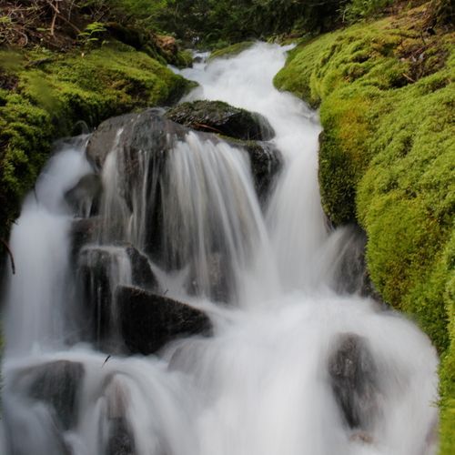
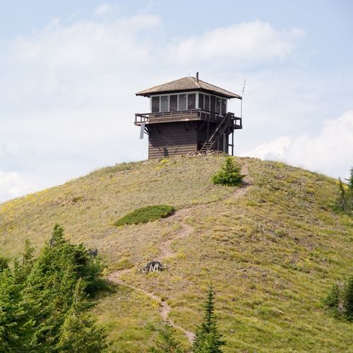
Subalpine meadows burst with vibrant wildflowers during summer, rivaling the beauty of any in the area. The hike offers spectacular views of Mount Rainier, the Mowich Glacier, and surrounding peaks like Echo Rock and Observation Rock. A short spur trail leads to Spray Falls, adding a picturesque waterfall to the scenic landscape. The trail winds through dense forest and moss-covered trees, providing a serene and immersive natural experience.
Stevens Creek Trail

Stevens Creek Trail

Easy0.6 mi

This short, family-friendly hike follows Stevens Creek, offering scenic views and the option to extend to Stevens Canyon Waterfall or loop via the Wonderland Trail. The trail is nicely shaded and suitable for all ages.

Sunrise Trail

Sunrise Trail

Moderate1.5 mi

Hike through vibrant wildflower meadows, offering breathtaking views of surrounding mountains. The trail features a mix of open meadows and shaded areas, providing a picturesque backdrop for nature enthusiasts and photographers alike.

Tolmie Peak Trail

Tolmie Peak Trail

Moderate3.1 mi

This trail offers serene subalpine meadows and stunning views of Mount Rainier. It begins at Mowich Lake, passing through forest and meadows to reach Eunice Lake and the Tolmie Peak fire lookout tower. The trail is known for its picturesque landscapes and varied flora, including wildflowers during the summer months.

Trail of the Shadows

Trail of the Shadows

Easy0.6 mi

This loop trail winds through an old-growth forest, featuring historic mineral springs like Soda Springs and Iron Mike, remnants of the Longmire Springs Hotel, and a preserved log cabin. The trail offers a glimpse into the region's past while showcasing diverse flora and fauna, including marshy ponds and grassy fields.

Twin Firs Trail

Twin Firs Trail

Easy0.3 mi

This short loop winds through a stunning grove of old-growth trees, including Western hemlock and Western red-cedar, some of which are over 850 years old. The trail offers a glimpse into nature's cycle of life, with nurse logs nurturing new growth and a rich understory of ferns and wildflowers. It's an ideal introduction to the forest for families and nature enthusiasts alike.

Unicorn Peak

Unicorn Peak

Difficult2.3 mi

The highest point in the Tatoosh Range provides breathtaking views of Mount Rainier's southern face. This alpine scramble route involves steep snow fields and scree, with a technical climb to the summit. Early season ascents offer opportunities for backcountry skiing and glissading, while late season climbs expose tedious scree. The summit's jagged peak resembles a unicorn's horn, giving it its distinctive name. On clear days, the views are unparalleled, making it a sought-after destination for climbers and nature enthusiasts.

Van Trump Park

Van Trump Park

Moderate2.8 mi

Follow a rugged creek upstream past spectacular waterfalls, including Bloucher and Comet Falls, one of the highest in the region. The trail ascends through a narrow gorge and into lush alpine meadows, offering breathtaking views of surrounding mountains. The meadows provide a serene backdrop for easy wandering, with opportunities to spot wildlife like marmots and goats. Further exploration leads to dramatic viewpoints overlooking vast valleys and glaciers, showcasing the grandeur of the mountain landscape.

West Boundary Trail

West Boundary Trail

Moderate2.5 mi

This trail offers a steady climb through a forested landscape, providing partial views of Rainier and surrounding peaks. The path traverses the east flank of Martin Peak and continues up the west flank of Virginia Peak, before descending toward Evans Creek. It ends abruptly at an old logging road, offering a unique contrast between forest and open terrain.

American Ridge Trail

Extreme32.3 mi

Boundary Trail

Moderate2.4 mi

This trail takes you through a lush temperate rainforest, featuring giant Douglas firs and Western red cedars. The steep ascent offers breathtaking views, including those of the Carbon River. The trail's scenic beauty and challenging climb make it a rewarding experience for hikers.

Cougar Lakes Trail

Difficult8.6 mi

Florence Peak Trail

Easy1.2 mi

Climb through mossy forests and alongside waterfalls, eventually reaching a rocky summit with breathtaking views of surrounding peaks. The trail offers a challenging yet rewarding experience with its steep switchbacks and scenic overlooks.

Knapsack Pass Trail

Difficult2.3 mi

This trail rises steeply through the woods before breaking out into open country, featuring small waterfalls and lush wildflower patches. It passes through a spectacular bowl surrounded by towering rock formations, offering stunning views of Mount Rainier from Knapsack Pass. The trail is well-established but unmaintained, requiring some trail-finding skills.

Moraine Trail

Easy0.5 mi

This trail provides stunning views of glaciers and surrounding peaks, traversing through meadows and forests. It is less crowded than other trails, offering a more secluded experience with opportunities to spot wildlife.

Mount Wow

Difficult3.4 mi

Natural Bridge Trail

Easy0.8 mi

This trail offers a journey through varied terrains, providing an opportunity to experience the natural beauty of the area. The hike is suitable for a range of visitors and offers scenic views.

North Puyallup Trail

Moderate2.7 mi

This trail traverses through varied landscapes, including forests and river crossings, offering scenic views of the surrounding mountains. It is part of a larger network of trails in the area, providing access to diverse natural features.

Old Mine Trail

Easy0.2 mi

This trail leads through a temperate rainforest to the entrance of an old mine, offering a glimpse into the region's mining history. The path is steep but short, surrounded by ancient trees and lush undergrowth. It's an easy addition to a day of exploring, suitable for families and those interested in history.

Pyramid Peak via Longmire

Extreme6.9 mi

Three Lakes Trail

Difficult5.8 mi

Backbone Trail

Moderate3 mi

This trail traverses craggy peaks, lush canyons, and grassy ridgelines, offering stunning ocean views and unique rock formations. It passes through diverse ecosystems, including chaparral-covered hillsides and oak woodlands, providing a rich experience of Mediterranean habitats.

Guide House Trail

Easy0.1 mi

This area features historic structures typical of the alpine rustic style, including the Climbers' Guide House, which has been a starting point for many Mount Rainier summit attempts. However, the specific 'Guide House Trail' is not recognized in available sources.

Independence Ridge

Easy0.5 mi

No description available

Lane Peak

Moderate2.1 mi

Lower Lakes Trail

Easy1.4 mi

No description available

Northway Trail

Difficult5.3 mi

Embark on a challenging loop through lush forests and panoramic peaks, culminating at Northway Peak. The trail offers stunning views, including Mount Rainier, and passes through areas rich in historical significance. Wildlife such as black bears and deer can be spotted, and the flora changes dramatically as you ascend.

sites

Easy0.2 mi

This short trail offers a peaceful walk through the natural beauty of the area, providing a serene experience for visitors.

Get offline trail maps and detailed hiking info in the Parka app

Download Parka — It's Free

Get offline trail maps for Mount Rainier National Park

Free on the App Store

Get Parka

Why Park Lovers Choose Parka

Trip Planner

All the tools for epic adventures

Works Offline

Fully functional without cell service

Updated Weekly

Trail conditions, alerts, and closures

Try Risk-Free

7-day free trial, cancel anytime

Start Your 7-Day Free Trial

Unlock everything you need for your next national park trip. Your first week is on us!

National Park vista

Start your adventure today

Download Parka and plan your perfect national park trip in minutes.