
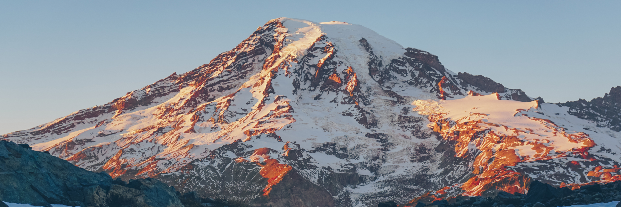
Mount Rainier National Park, home to the iconic Mount Rainier, stands as a prominent feature of the Washington landscape, inviting adventurers and nature lovers alike. This massive stratovolcano is the highest peak in the Cascade Range, towering at 14,410 feet. It's an active volcano, yet its last recorded eruption was in the late 19th century, reminding us of the powerful natural forces that shaped this region.
Mount Rainier National Park is also famed for the diverse ecosystems that range from lush old-growth forests at lower elevations to the subalpine wildflower meadows that encircle the volcano. Expansive carpets of color created by lupines, paintbrushes, and phlox can be found in spring and early summer.
The park is a critical refuge for wildlife, where species such as the black bear, elk, mountain goats, and the elusive pika thrive. Its alpine and subalpine environments provide important research opportunities related to climate change and ecological conservation.
This park is in the ancestral lands of the Cowlitz, Muckleshoot, Nisqually, Puyallup, Yakama, and other Native American tribes. The Native American name for Mount Rainier is Tahoma (or Tacoma), meaning "mother of waters". The name "Mount Rainier" was given by British explorer George Vancouver in honor of his friend, Rear Admiral Peter Rainier.
Over 260 miles of hiking trails lead explorers through varied landscapes, offering everything from leisurely walks through thick forests and meadows to more rigorous climbs in the higher alpine regions. Don't miss the Paradise area at 5,400 feet, known for its views and as a starting point for those venturing to the summit. The Sunrise area, the highest point accessible by vehicle at 6,400 feet, offers views of the mountain and the surrounding valleys and peaks. Whether you're climbing, hiking, wildlife viewing, or simply enjoying the views, Mount Rainier National Park provides a range of natural beauty and adventure.
Mount Rainier National Park
Washington
Washington
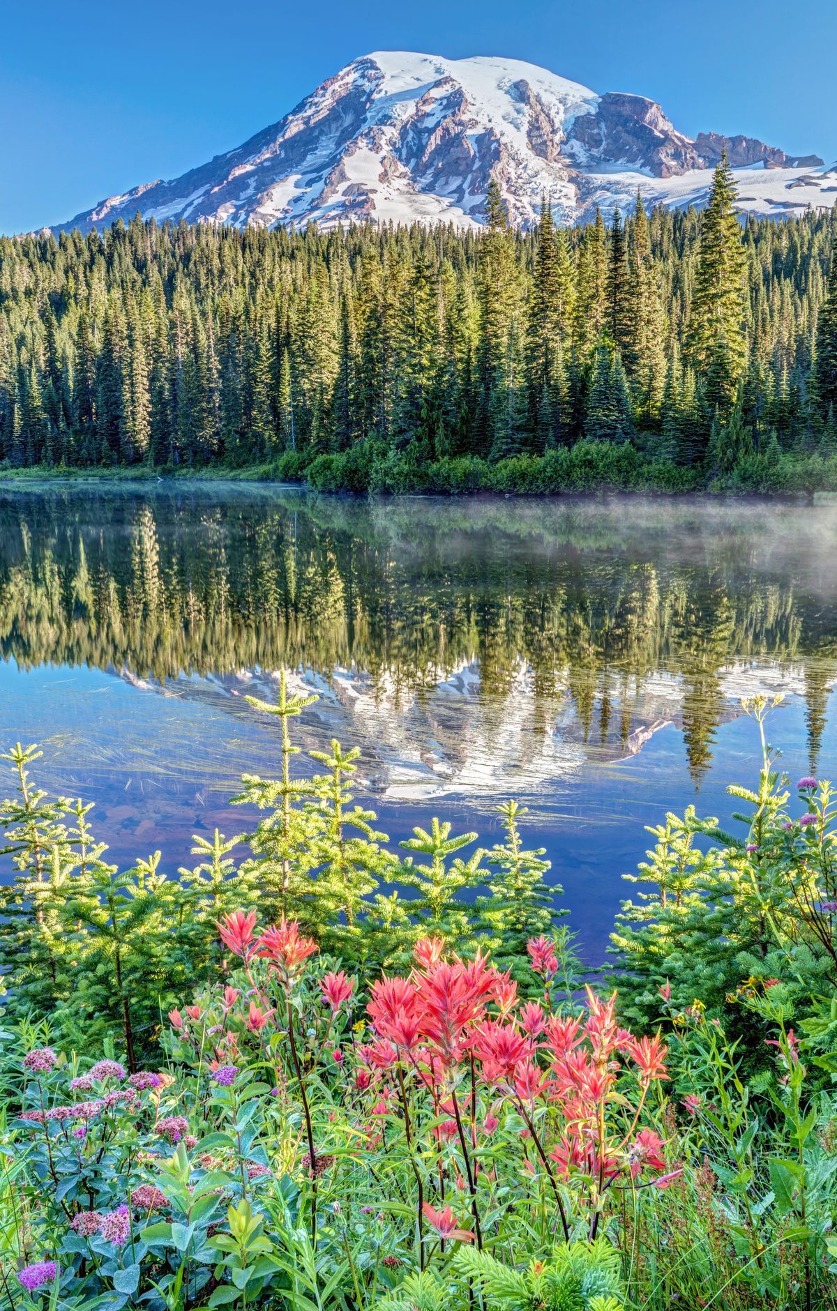
Mount Rainier National Park is centered on a volcano that climbs to 14,410 feet, and no other peak in the lower 48 states is covered by more glacier ice. Glaciers carve the landscape, and five major rivers start on its slopes. Old-growth forests blanket the lower slopes, while subalpine wildflower meadows lie higher up. Hiking, scenic drives and mountain climbing draw visitors, and Paradise, on the southern slopes, is one of the busiest areas, with the Skyline Trail leading toward Panorama Point. Climbers attempt the summit by the thousands each year. About 2.7 percent of the park is a National Historic Landmark District known for rustic architecture built from logs and glacial boulders.
Park Areas
All areas →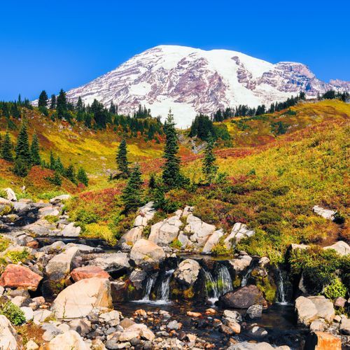
Paradise
Subalpine wildflower meadows spread across the slopes of Paradise, sitting at about 5,400 feet on the peak's south side. Hikers can pick routes that run from gentle to demanding, and many climb through flower-filled country toward open views of the volcano and the Tatoosh Range. The Skyline Trail leads through the meadows to viewpoints, while the Nisqually Vista Trail is a short loop with views of the Nisqually Glacier that works well for strollers. Paradise Inn, a historic inn, stands near the upper parking area, and the Henry M. Jackson Visitor Center is also here with educational exhibits. Reflection Lakes, three miles east of Paradise along Stevens Canyon Road, sometimes show the peak in their still water. Stay on the marked paths, because the meadows are easily damaged.
Sunrise
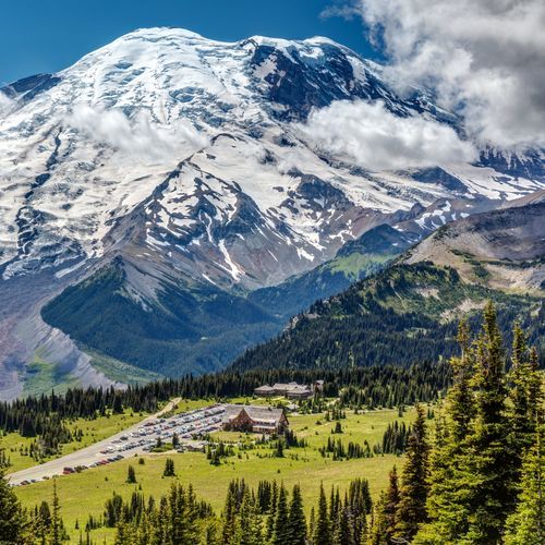
Sitting at 6,400 feet, Sunrise is as high as a car can go, and the road ends at a lodge and visitor center with exhibits and rangers. Mount Rainier fills the view, with Emmons Glacier spreading across its northeast face. From Sunrise Point, the view wraps nearly all the way around to other Cascade volcanoes, Mount Adams among them. Wildflowers crowd the meadows. The Burroughs Mountain Trail passes Shadow Lake on its way to a plateau, the Mount Fremont Lookout Trail crosses open meadows and rocky ground before reaching a historic lookout, and the Sourdough Ridge Trail climbs from the parking area. A 2-mile round trip leads to Emmons Vista and Silver Forest. Hiking is the main activity, and stargazing from the parking lot or Sunrise Point is another option after dark.
Longmire
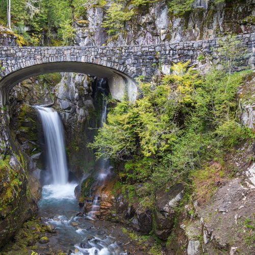
A former homestead, lodging and mineral springs resort, this area was once park headquarters, and its historic buildings now form a national historic district. The Longmire Museum sits in the original headquarters building and shares the park's natural and geological history along with stories of its early days. The National Park Inn is the only lodging in the park open all year. Trail of the Shadows is a 0.7-mile loop that passes a wetland, a replica homestead cabin and bubbling mineral springs, with viewpoints at its start. Twin Firs Loop is a short trail through old-growth forest. From the parking area by the Longmire Community Building and the historic Suspension Bridge, you can look across the Nisqually River to the mountain. Trails here range from easy walks to strenuous hikes, and in winter the same routes suit snowshoeing.
Ohanapecosh
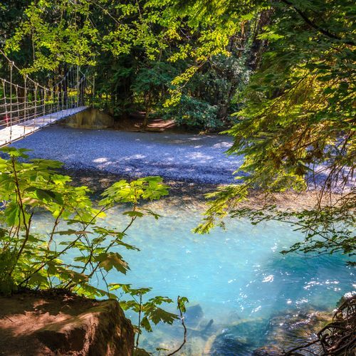
Old-growth forest defines this southeast corner, where Douglas-firs, western red cedars, and western hemlocks rise over the trails. The east side runs drier and sunnier than the west, a relief when fog covers other areas. A short loop trail winds beneath big old trees to the Ohanapecosh Hot Springs and past traces of an early resort. The Box Canyon Loop Trail runs along the lip of a gorge, crosses a wooden footbridge, and passes bedrock scored by glaciers that once filled the canyon. The Silver Falls Trail leads to a waterfall on the Ohanapecosh River, a clear stream that holds rainbow, brook, and cutthroat trout for fly anglers. The Visitor Center and campground are located here. The name comes from a Taidnapam (Upper Cowlitz) habitation site on the river and is understood to mean standing at the edge.
Carbon River
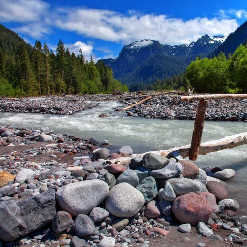
The northwest corner of the park receives heavy rainfall, so its climate and plant communities resemble a temperate rainforest. The valley holds the only true inland rain forest in the park, since rain forests seldom grow far from the coast. The Carbon River Trail follows a former road for about five miles, mostly wide and flat and open to walkers, hikers, and cyclists. Mountain bikers can ride it as far as Ipsut Creek Campground, and hikers can continue on foot. Carbon Glacier has shaped the surrounding landscape. A short loop, the Carbon River Rainforest Trail, runs about 0.3 miles on old boardwalk, though some sections are broken. The Carbon River Ranger Station offers park information, wilderness camping, and climbing permits.
Mowich Lake
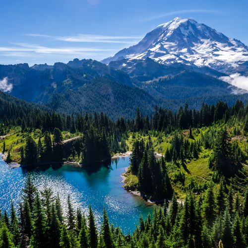
Set in a glacial basin, this is the largest and deepest lake in the park, ringed by fragile wildflower meadows. Visitors can picnic and take in the views, fish, or paddle the water by canoe, kayak, or stand-up paddle board, since the lake is open to non-motorized boating. The road in is unpaved after its first three miles and can be rough. A primitive campground with eight tent sites lies close to the lake and has no running water. Other trails reach Spray Park, with its waterfall, meadows, and views of Mowich Glacier, while the Tolmie Peak Trail climbs to Eunice Lake and meadows with views of Tolmie Peak.
Popular Hiking Trails
All trails →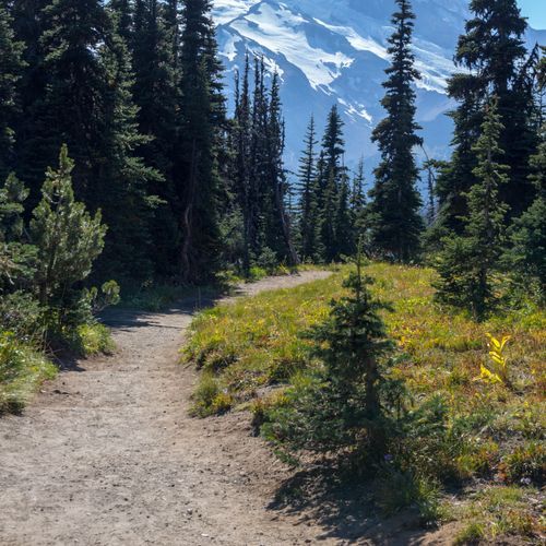
Northern Loop Trail
Extreme26.3 mi
Burroughs Mountain Loop
Difficult9.6 mi
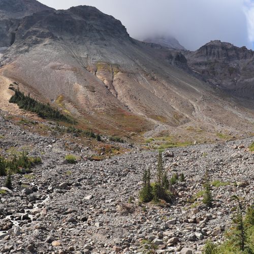
Glacier Basin Trail
Difficult7.8 mi
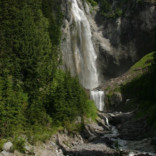
Comet Falls Trail
Difficult3.5 mi
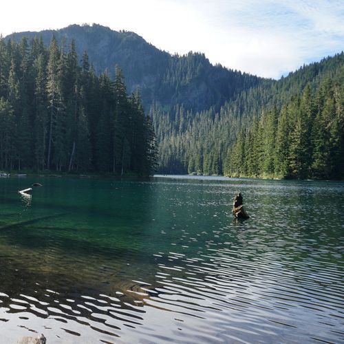
Gobbler's Knob Trail
Moderate11.6 mi
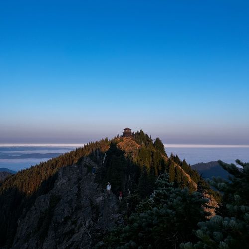
Pinnacle Peak Trail
Moderate2.8 mi
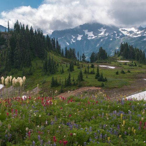
Skyline Trail
Difficult5.6 mi
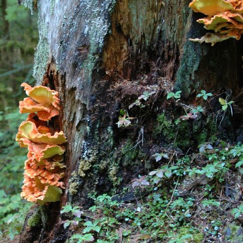
Cowlitz Divide Trail
Difficult10.4 mi
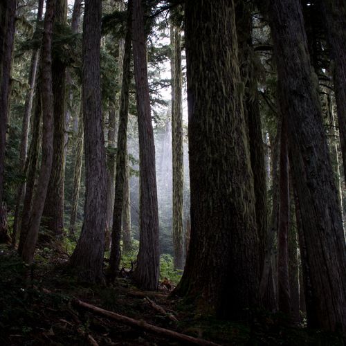
Spray Park Trail
Moderate4.0 mi
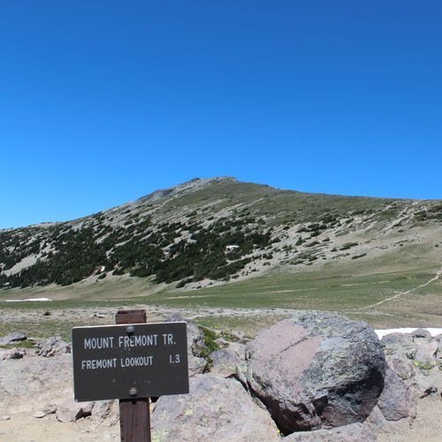
Mount Fremont Lookout Trail
Moderate5.7 mi
Visitor Centers
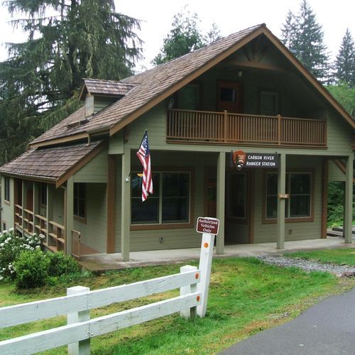
Carbon River Ranger Station
7:30AM - 5:00PM
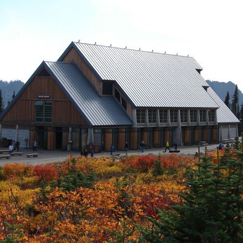
Henry M Jackson Memorial Visitor Center
9:30AM - 5:30PM
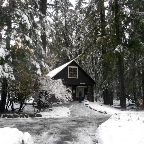
Longmire Museum
9:00AM - 4:30PM
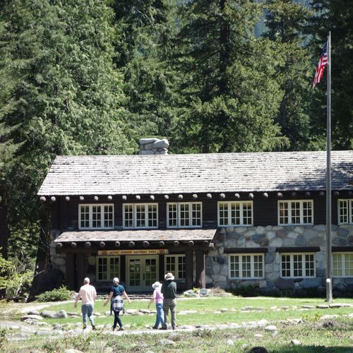
Longmire Wilderness Information Center
7:30AM - 5:00PM
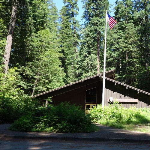
Ohanapecosh Visitor Center
9:00AM - 5:00PM
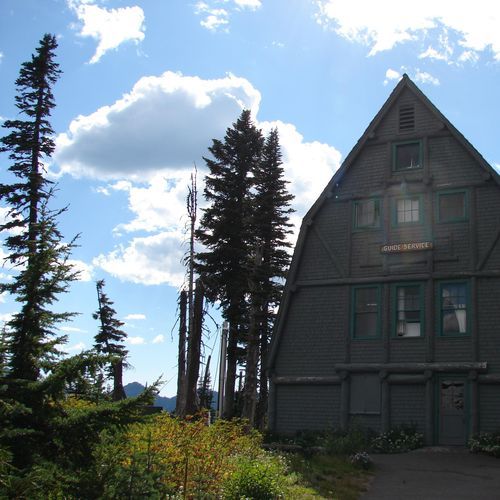
Paradise Wilderness Information Center
7:30AM - 5:00PM
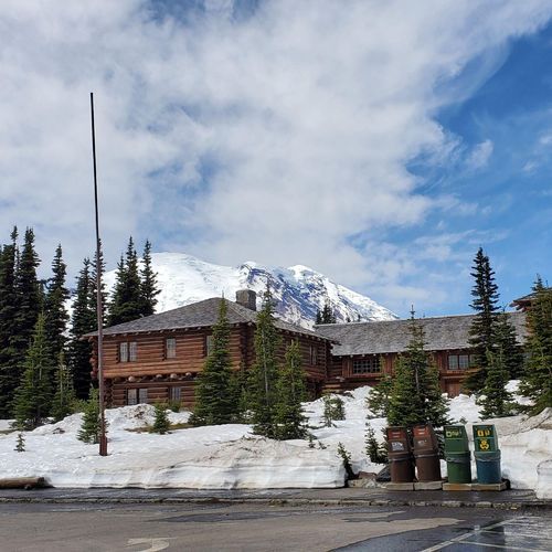
Sunrise Visitor Center
9:00AM - 5:00PM
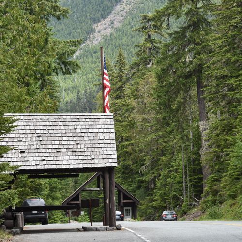
White River Wilderness Information Center
7:30AM - 5:00PM
Campgrounds
Camping guide →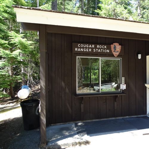
Cougar Rock Campground
Longmire
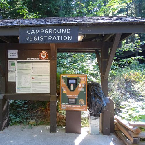
Ohanapecosh Campground
Ohanapecosh
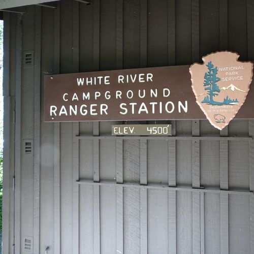
White River Campground
Sunrise
About the Park
Park Areas
Paradise is a premier destination in Mount Rainier National Park, celebrated for its breathtaking alpine views and vibrant wildflower meadows in summer. It serves as a hub for numerous trails, offering access to panoramic vistas and glacier views. The area's high elevation results in substantial snowfall, attracting winter sports enthusiasts. The Henry M. Jackson Visitor Center enhances its year-round appeal with educational exhibits.
Sunrise is another key area, offering panoramic views of Mount Rainier from the highest point accessible by car at 6,400 feet. Its subalpine meadows host diverse flora and fauna, providing excellent hiking opportunities. Clear mornings often reveal expansive vistas, unobscured by clouds that frequently cover the mountain elsewhere.
Longmire provides a historical perspective with the Longmire Museum and the rustic National Park Inn. It offers accessible trails and scenic views without the elevation challenges of Paradise. The Trail of Shadows offers insights into the area's early development. Its milder winter conditions make it a practical choice for cold-weather visits.
Ohanapecosh offers a tranquil experience with its old-growth forests and clear river. It is less crowded, ideal for hiking and camping. The Silver Falls Trail and the Grove of the Patriarchs, with ancient trees, are notable attractions. Its lower elevation allows for extended visitation seasons.
Carbon River & Mowich provide unique, less crowded experiences. The Carbon River road offers lush vegetation and diverse wildlife, while Mowich Lake is ideal for kayaking and fishing. The Wonderland Trail here offers challenging hikes and stunning vistas, noted for their tranquility and natural beauty.
Park Guides
All 12 guides →Lenticular Clouds and Rainier's Changeable Weather
Disc-shaped lenticular clouds often cap the summit of Mount Rainier. They tend to form when damp air is pushed upward against the mountain's large bulk.
Beating Nisqually and White River Entrance Lines
Traffic backs up at the Nisqually Entrance and the White River Entrance on the park's busiest days, and on the very heaviest summer weekends and holidays the wait at either gate can run longer than an hour.
America's Most Glaciated Peak and Its Five Rivers
Rising to 14,410 feet, Mount Rainier is the tallest peak in Washington state and the most prominent mountain in the Cascade Range.
Paradise: Skyline Trail and Wildflower Meadows
Paradise sits at about 5,400 feet on the south slope of Mount Rainier, and it is the most popular destination in the park.
Hiking the Wonderland Trail
The Wonderland Trail is a loop of about 93 miles around Mount Rainier, and it is among the best-known backpacking routes in the country.
