ParkaDownload
Yosemite National Park

Things to Do in Yosemite National Park

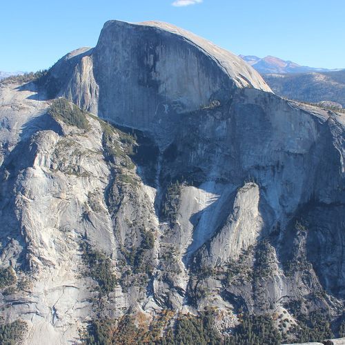
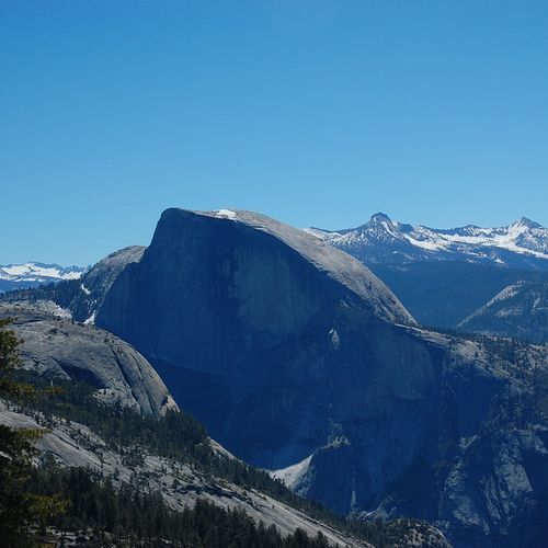
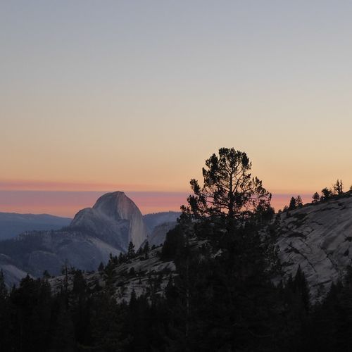
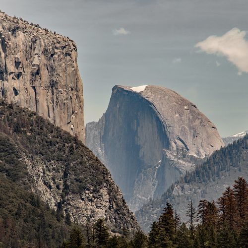
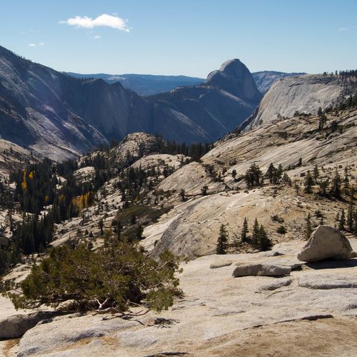
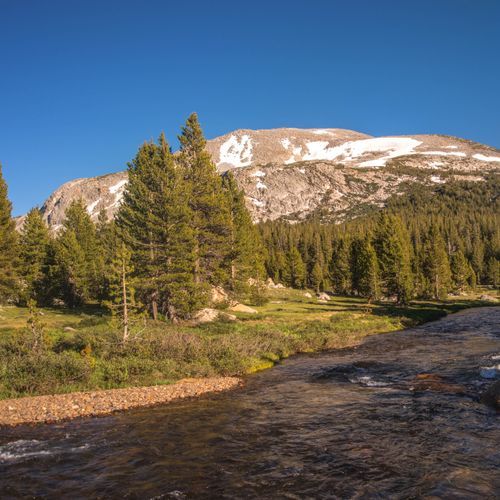
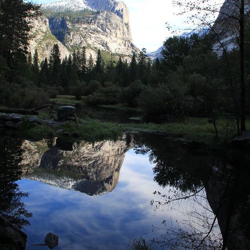
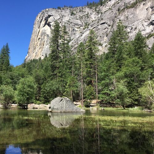
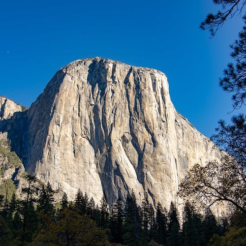
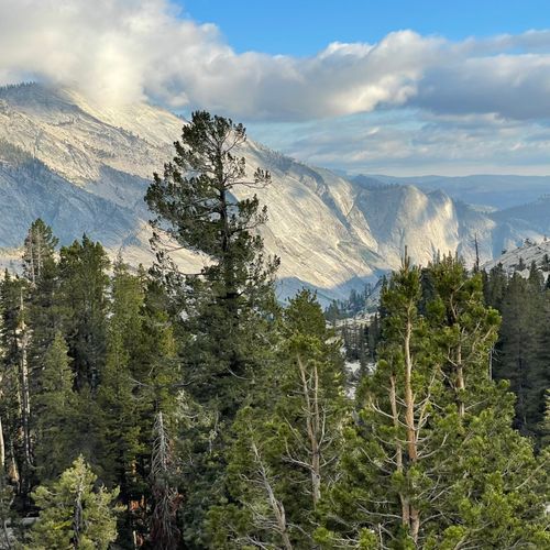
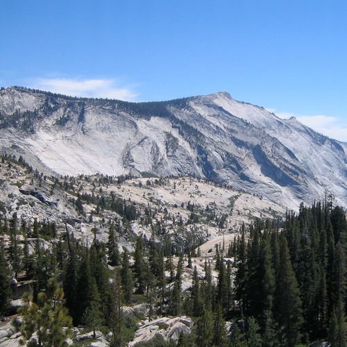
Yosemite rewards sightseers with a greatest-hits reel of roadside and short-stroll vistas. Start with Tunnel View for the classic frame of El Capitan, Bridalveil Fall, and Half Dome, then work your way to Valley View along the Merced for river-reflected granite at sunset. When Tioga Road is open, Olmsted Point reveals the austere beauty of the high country and a dramatic side-on look at Half Dome; down south, Glacier Point and neighboring Washburn Point deliver commanding panoramas of Yosemite Valley and the silver staircase of Vernal and Nevada Falls. You’ll find well over a hundred viewpoints and points of interest scattered across the park, so don’t be shy about pulling into signed turnouts—the serendipitous stops are often the most memorable. Beach time in Yosemite is all about riverbanks and alpine lakes. In Yosemite Valley, sandy stretches at Sentinel Beach, Cathedral Beach, and the Swinging Bridge area invite picnics, wading, and lazing away an afternoon with the walls of El Capitan and Sentinel Rock rising overhead. In summer, rent a raft and float a gentle section of the Merced River when water levels allow, or bring a tube and drift past meadows and cottonwoods. Up on the Tioga Road, Tenaya Lake’s granite-rimmed shoreline is the park’s premier high-country “beach,” perfect for a chilly dip on a hot day and an unhurried lunch with domes and peaks as your backdrop. Beyond the views and water, Yosemite’s unique experiences round out any itinerary without lacing up hiking boots. Join a ranger talk or an open-air tram tour in Yosemite Valley to add depth to the scenery, browse the Yosemite Museum and the Indian Village of the Ahwahnee, and step into the Ansel Adams Gallery to see the landscape through a master’s eye. Pedal the flat, paved bike paths that loop the Valley, or saddle up for a guided horseback ride from the park stables. In winter, head to family-friendly Badger Pass for skiing, snowshoeing, or an old-fashioned afternoon of tubing, and lace up for outdoor ice skating in the Valley when conditions allow. After dark, bring binoculars to El Capitan Meadow to spot headlamp “constellations” of climbers on the wall, stargaze under some of California’s clearest skies, and time a spring visit for the rare moonbow misting across Yosemite Falls.

Tunnel View

Tunnel View

viewpointYosemite Valley

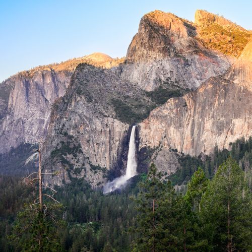
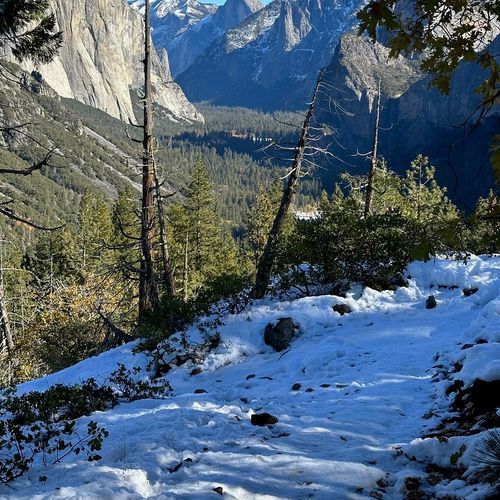
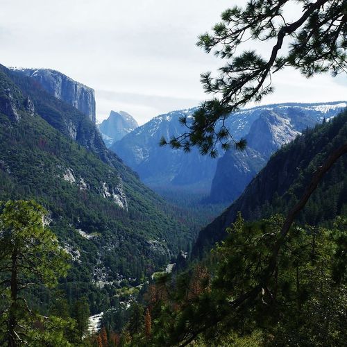
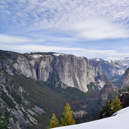
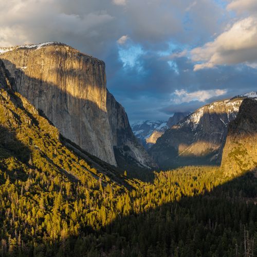
Tunnel View delivers the iconic first, panoramic glimpse into Yosemite Valley, a sweeping scene with El Capitan to the left, Bridalveil Fall to the right, Half Dome and waterfalls framed by soaring granite cliffs and meadowed valley floor. Accessible by car and bus year‑round, this classic turnout is ideal for day or night photos; in climbing season you may spot climbers' headlamps on the cliffs, though car lights or campfire haze can sometimes affect the view.

Viewpoint

Viewpoint

viewpointYosemite Valley
Viewpoint

Viewpoint

viewpointYosemite Valley
Glacier Point

Glacier Point

viewpointGlacier Point

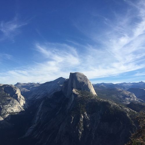
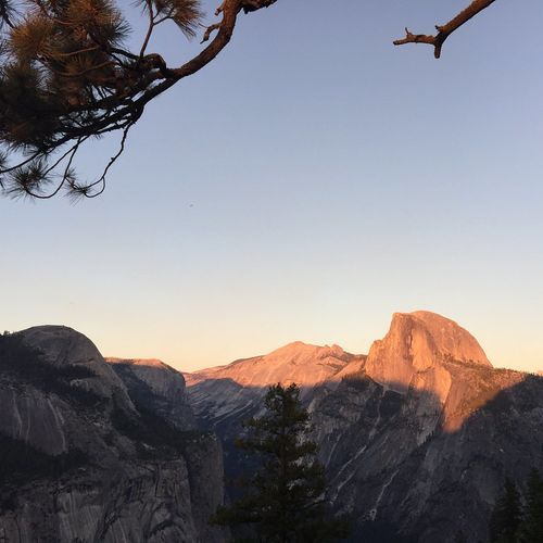
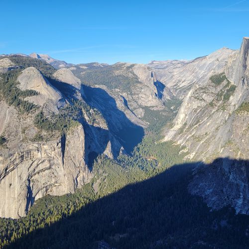
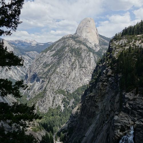
Glacier Point offers a commanding high-elevation overlook with sweeping views of Yosemite Valley, Half Dome and the High Sierra, and is renowned for high-elevation stargazing. The road ends at Glacier Point with a short walk to the overlook; Glacier Point Road is typically open to vehicles from about May (this year opened May 10, 2025) through November, though high-elevation storms can close the road and in some years the road opens to cyclists earlier.

Lembert Dome

Lembert Dome

viewpointTuolumne Meadows

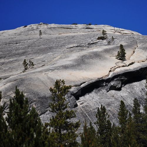
Perched above Tuolumne Meadows, Lembert Dome is a distinctive, glacially polished granite dome; its smooth, roche moutonnée slopes rising above the treeline create dramatic photo opportunities and sweeping views of meadow, river reflections and sky. The Dog Lake trailhead is the common approach: the out-and-back to Dog Lake is about 3.8 miles round-trip (3–4 hours) with roughly 850 ft (260 m) gain, with an optional side-trip or 5-mile loop to the dome; stay off domes during thunderstorms.

Viewpoint

Viewpoint

viewpointTenaya Lake
Sentinel Dome

Sentinel Dome

viewpointGlacier Point

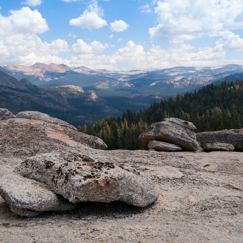
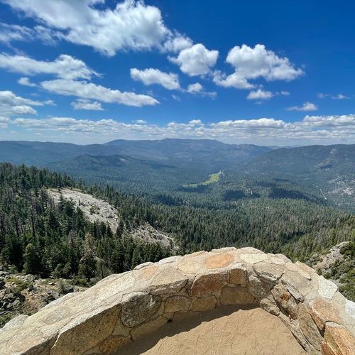
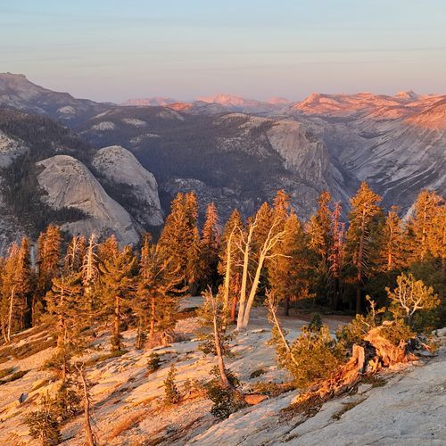
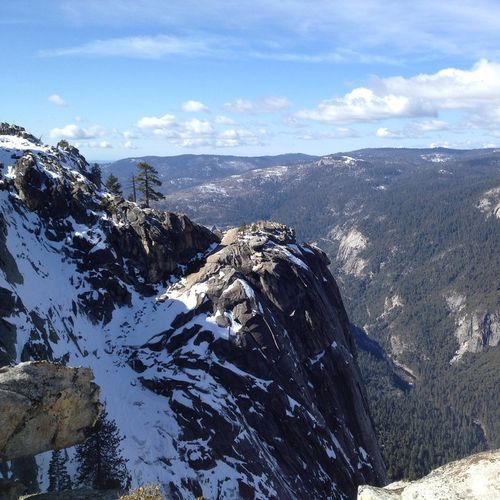
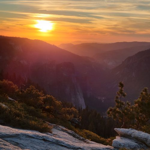
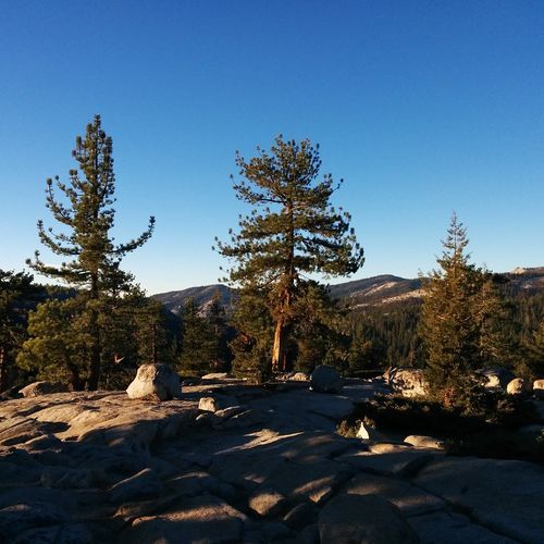
Perched along Glacier Point Road, Sentinel Dome offers a unique 360-degree panorama of Yosemite, with views that include Half Dome and the high Sierra, reached by a short scramble up the granite dome. The 2-mile (3.2 km) round-trip hike from the Sentinel Dome/Taft Point trailhead takes about 1–2 hours with roughly 400 ft (120 m) of elevation gain; stay off the dome during thunderstorms.

Sierra Point

Sierra Point

viewpointGlacier Point
Union Point

Union Point

viewpointYosemite Valley
Wapama Falls

Wapama Falls

viewpointHetch Hetchy

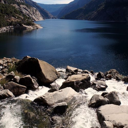
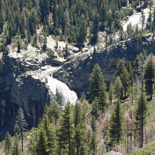
The thunderous 1,400-foot Wapama Falls pours year-round into Hetch Hetchy Valley, offering dramatic cascades and springtime views of nearby Tueeulala Falls. Visitors can admire the falls from the O'Shaughnessy Dam parking lot or take a 5-mile (8 km) round-trip shoreline trail (about 507 ft / 155 m elevation gain) that begins by crossing the dam and passing through a tunnel; the uneven trail has moderate up-and-down hiking, little shade, and peak flow in May.
Viewpoint

Viewpoint

viewpointGlacier Point
Lookout Point

Lookout Point

viewpointHetch Hetchy

Perched on a rocky outcropping above Hetch Hetchy Valley, Lookout Point offers sweeping valley views after a moderately strenuous 2-mile (3 km) round-trip hike with about 680 feet (207 m) of elevation gain. Begin at the Hetch Hetchy entrance station, stay on the paved trail because rocks and boulders above the viewing platform can be slippery even when dry, and if you park along Southside Drive watch for traffic when opening doors or crossing the road.

Viewpoint

Viewpoint

viewpointCrane Flat
Inspiration Point

Inspiration Point

viewpointYosemite Valley
Washburn Point

Washburn Point

viewpointGlacier Point

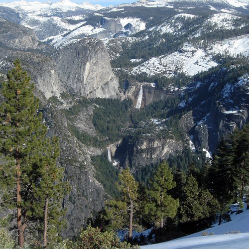
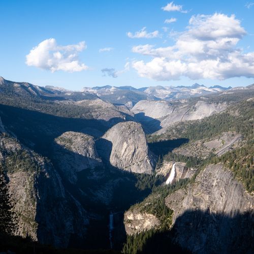
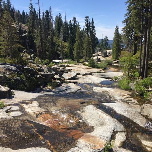
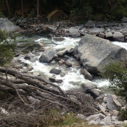
Washburn Point, just south of Glacier Point, offers sweeping panoramas of Yosemite Valley and Half Dome and is especially prized for its more direct, dramatic views of Vernal and Nevada Falls. Visitors reach the area via Glacier Point, which is open approximately late May to November and is about 30 miles (one hour) from Yosemite Valley; there the road ends and a short walk leads to these high-elevation overlooks.
Viewpoint

Viewpoint

viewpointGlacier Point
Half Dome View

Half Dome View

viewpointCrane Flat
Viewpoint

Viewpoint

viewpointTenaya Lake
Artist Point

Artist Point

viewpointYosemite Valley

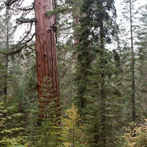
Artist Point offers breathtaking views of Yosemite Valley, particularly stunning during sunrise when the landscape comes alive with vibrant hues. Artists have long drawn inspiration from this iconic vista, capturing its beauty in various forms. Visitors can immerse themselves in the natural splendor surrounding them, making it a perfect spot for photography and reflection.
Viewpoint

Viewpoint

viewpointYosemite Valley
Viewpoint

Viewpoint

viewpointYosemite Valley

Viewpoint

viewpointCrane Flat
Valley View

Valley View

viewpointYosemite Valley

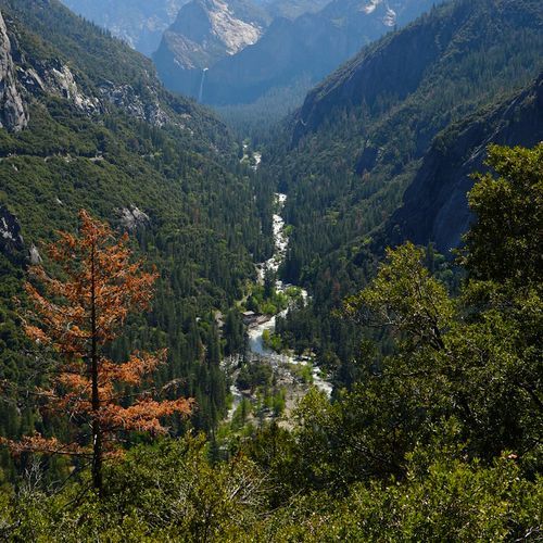
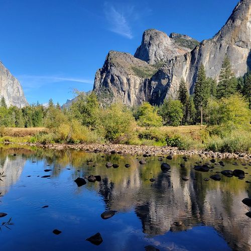
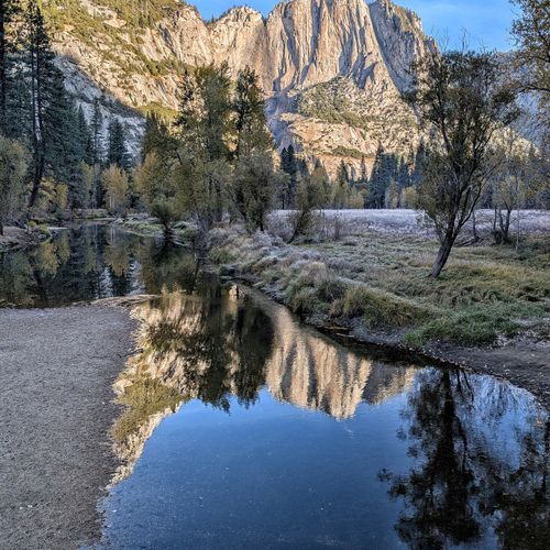
Valley View offers a classic Yosemite Valley panorama, featuring iconic granite walls, with El Capitan to the left and Bridalveil Fall to the right. This viewpoint provides dramatic night-sky silhouettes where climber headlamps occasionally glow. Located on the park’s southeast side, nearby amenities include food, picnic areas, and gas at El Portal, along with the Yosemite Valley Welcome Center and wilderness permit station.

Viewpoint

Viewpoint

viewpointYosemite Valley
Viewpoint

Viewpoint

viewpointMariposa Grove & Wawona
The Cascades Viewpoint

The Cascades Viewpoint

viewpointCrane Flat

The Cascades Viewpoint, west of Yosemite Valley on the south side of El Portal Road, provides a close, accessible view of the Cascades falls and the adjacent river. It’s one block northeast of the Cascades Picnic Area (open year‑round) with pit toilets nearby; parking at the picnic site is limited to eight vehicles, picnic tables are first‑come, first‑served, and ceremonies are prohibited on the falls viewing platform.

Viewpoint

viewpointMariposa Grove & Wawona
Chilnualna Fall viewpoint

Chilnualna Fall viewpoint

viewpointMariposa Grove & Wawona

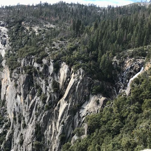
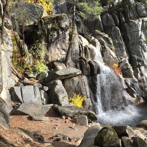
Chilnualna Fall viewpoint is a remote, lightly traveled escape at Yosemite’s southern tip where the waterfall hides behind twists in the rock so you can’t see the whole fall at once. It’s reached via a strenuous 8–9 mile round-trip hike (about 5–7 hours) with roughly 2,400 feet of gain from the Chilnualna Falls trailhead; the falls flow year-round and are fullest in spring and early summer, with views starting as close as 0.25 mile from the trailhead.

Viewpoint

Viewpoint

viewpointTenaya Lake
Viewpoint

Viewpoint

viewpointTenaya Lake
Viewpoint

Viewpoint

viewpointTenaya Lake
Bridalveil Fall Viewpoint

Bridalveil Fall Viewpoint

viewpointYosemite Valley

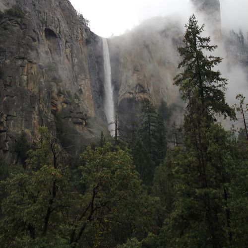
Bridalveil Fall is the first waterfall many visitors see when entering Yosemite Valley, a 620-foot cascade that thunders in spring and flows year‑round with a light, swaying ribbon the rest of the year. A short paved path from the signed parking lot (stay straight past the second stone bridge) leads to the forest‑clearing viewpoint; short trails, one wheelchair accessible, reach the base, restrooms are nearby, and spring spray can drench visitors.

Viewpoint

Viewpoint

viewpointCrane Flat

Viewpoint

viewpointCrane Flat

Viewpoint

viewpointHetch Hetchy

Viewpoint

viewpointHetch Hetchy
Viewpoint

Viewpoint

viewpointCrane Flat
Chilnualna Creek Cascades viewpoint

Chilnualna Creek Cascades viewpoint

viewpointMariposa Grove & Wawona

Chilnualna Creek Cascades offers a remote, multi-tiered waterfall experience along cascading Chilnualna Creek, a lightly traveled escape at Yosemite’s southern tip with sweeping views toward the Buena Vista Range. The very challenging route begins at the Chilnualna Falls Trailhead (end of Chilnualna Falls Road); hikers should expect roughly 8–9 miles round-trip, about 2,400 ft elevation gain and 5–7 hours. Falls flow year-round, peaking in May, and waterfall views appear as close as 0.25 mile from the trailhead.

Chilnualna Fall viewpoint

Chilnualna Fall viewpoint

viewpointMariposa Grove & Wawona

Chilnualna Falls is a remote, multi-tiered cascade that drops about 2,200 feet above Wawona and is tucked behind twists in the rock, so you can't see the entire fall at once while enjoying sweeping views of the Buena Vista Range. Access requires a steep, 8-9 mile round-trip hike with roughly 2,400 feet of gain (5-7 hours) from the Chilnualna Falls trailhead; the falls flow year-round, peak in spring, and the route is lightly traveled and not visible from the road.

Lower Chilnualna Fall viewpoint

Lower Chilnualna Fall viewpoint

viewpointMariposa Grove & Wawona

Perched above the quiet Wawona valley, multi-tiered Chilnualna Falls is a remote, year‑round cascade that hides behind twists in the rock, making it impossible to view all at once and best reached by hiking the steep trail to its top. Begin at the Chilnualna Falls Trailhead near the end of Chilnualna Falls Road for a very challenging ~8–9 mile round-trip (about 5–7 hours) with roughly 2,400 ft of gain; waterfall views begin about 0.25 mile from the trailhead and flows peak in spring/May.

Falls View

Falls View

viewpointYosemite Valley

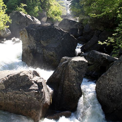
Falls View offers sweeping panoramas of Yosemite’s dramatic waterfalls, most notably Yosemite Falls, one of the world’s tallest. The falls are visible from many spots around Yosemite Valley and typically flow from November through July, with peak flow occurring in May. A one-mile loop leads to the base of Lower Yosemite Fall, with the eastern side of the loop being wheelchair accessible. Additionally, Vernal Fall can be seen from Glacier Point when the road is open.

Viewpoint, Hwy 140, Yosemite NP

Viewpoint, Hwy 140, Yosemite NP

viewpointCrane Flat
Viewpoint for Giant Sequoias

Viewpoint for Giant Sequoias

viewpointCrane Flat

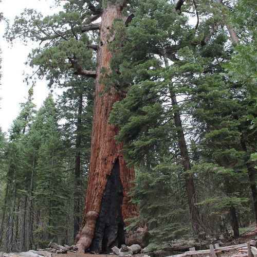
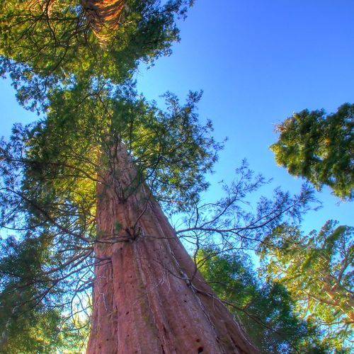
This viewpoint at Crane Flat offers a close look at the park's ancient giant sequoias, massive, furrowed reddish-brown trunks that fill the scene and reveal features like wide burn scars and elephantine bases. The Tuolumne and Merced Sequoia Groves near Crane Flat are smaller and less visited than Mariposa Grove (the latter is most accessible spring through fall near the South Entrance), and researchers note these trees face stresses from climate change and past management, offering opportunities for study.

Viewpoint

Viewpoint

viewpointCrane Flat
Viewpoint

Viewpoint

viewpointCrane Flat
Viewpoint

Viewpoint

viewpointCrane Flat
Disappearing Meadows

Disappearing Meadows

viewpointTuolumne Meadows

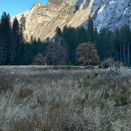
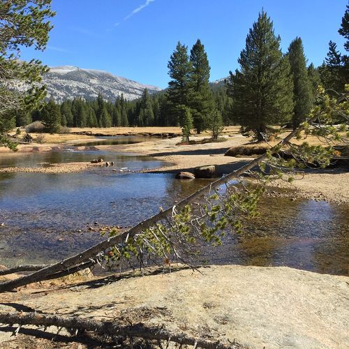
Disappearing Meadows is part of the broad subalpine sweep of Tuolumne Meadows, a grassy meadow threaded by the Tuolumne River and framed by granite domes and peaks, and offers exceptional plant and animal diversity and sweeping, panoramic views. Visitors should tread carefully, use existing boardwalks and trails where present, and keep wildlife wild; Tioga Road is typically open late May or June through October or November, and services may be limited.

Viewpoint

Viewpoint

viewpointYosemite Valley
Viewpoint

Viewpoint

viewpointYosemite Valley
Viewpoint

Viewpoint

viewpointYosemite Valley
Viewpoint

Viewpoint

viewpointGlacier Point
Viewpoint

Viewpoint

viewpointTenaya Lake
Viewpoint

Viewpoint

viewpointYosemite Valley
Viewpoint

Viewpoint

viewpointGlacier Point
Clark Point

Clark Point

viewpointGlacier Point

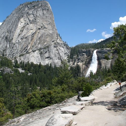
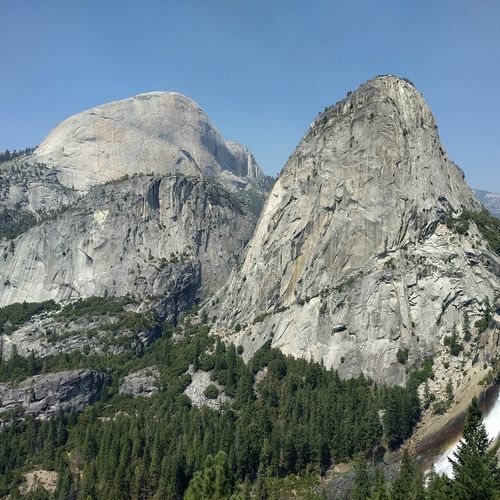
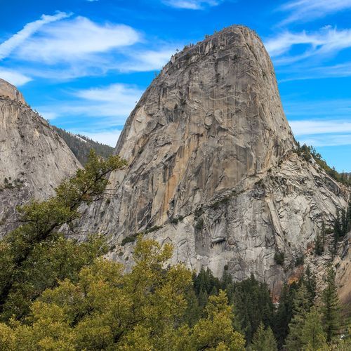
Clark Point is perched above Vernal and Nevada Falls, with Liberty Cap rising prominently from above. It is reached by a scenic hike along the Mist Trail or John Muir Trail.

Oh My Gosh Point

Oh My Gosh Point

viewpointYosemite Valley
Yosemite Falls Overlook

Yosemite Falls Overlook

viewpointYosemite Valley

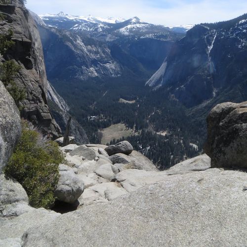
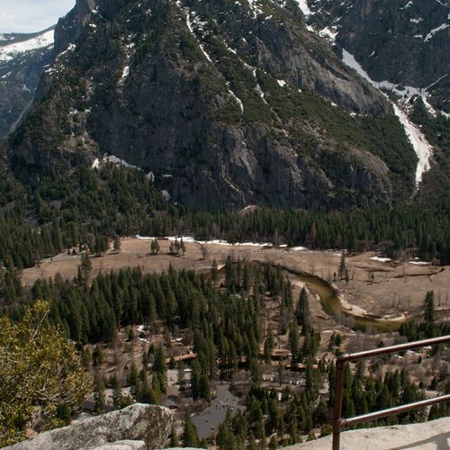
Yosemite Falls Overlook delivers sweeping views of Yosemite Falls (2,425 ft), one of the world's tallest waterfalls and a three-tiered cascade set against dramatic granite walls and valley panoramas, including Half Dome and Sentinel Rock. The overlook is reached via the strenuous Yosemite Falls Trail from the Camp 4 area (about 7.2 to 7.4 miles round trip with roughly 2,700 ft gain); falls typically flow November through July with peak runoff in May.

Columbia Rock

Columbia Rock

viewpointYosemite Valley

Columbia Rock is a short but rewarding viewpoint in Yosemite Valley reached from the Camp 4 area (near shuttle stop #7); the trail is a moderate 2-mile (3.2 km) round-trip with roughly 1,000 ft (328 m) of elevation gain. Allow 2–3 hours round trip and be prepared for a steady climb; Camp 4 is nearby and is historically significant and popular with climbers, so you may encounter climbing activity.

Viewpoint

Viewpoint

viewpointGlacier Point
Viewpoint

Viewpoint

viewpointMariposa Grove & Wawona

Viewpoint

viewpointCrane Flat
Viewpoint

Viewpoint

viewpointGlacier Point
Viewpoint

Viewpoint

viewpointYosemite Valley
Viewpoint

Viewpoint

viewpointYosemite Valley
View on Tenaya Lake

View on Tenaya Lake

viewpointTenaya Lake

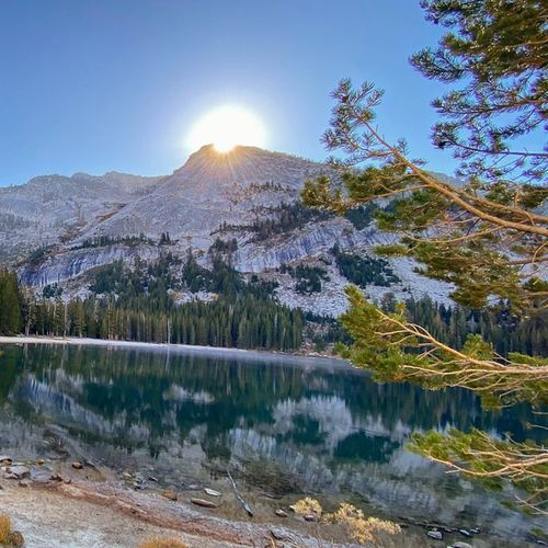
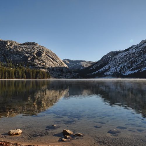
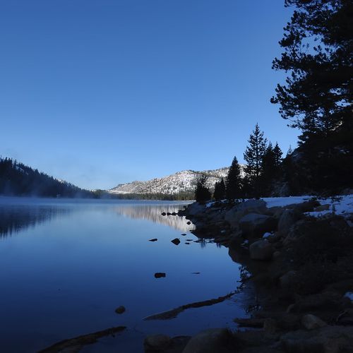
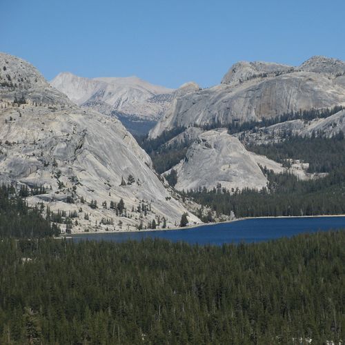
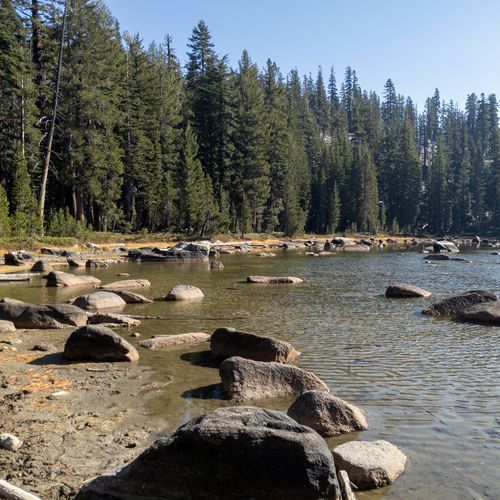
Tenaya Lake’s serene high-elevation setting (8,150 ft) and calm waters reflect the northern mountains of Yosemite and offer views toward the Grand Canyon of the Tuolumne, a memorable alpine viewpoint. The east-end beach and picnic area is reached from the parking lot via a short trail; the road is open until September 30 but snow may linger. Groups of 50 require monitoring; kayaking is popular and boaters must have a personal flotation device (children under 13 must wear one).

Viewpoint

Viewpoint

viewpointMariposa Grove & Wawona
Horsetail Fall viewing position

Horsetail Fall viewing position

viewpointYosemite Valley

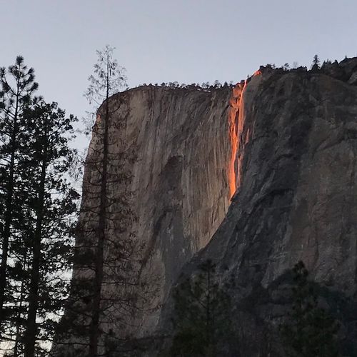
Horsetail Fall famously appears to glow orange for a few minutes in mid- to late-February when the setting sun lights the thin, ephemeral cascade off the east side of El Capitan. It flows roughly December–April and is best viewed from just east of El Capitan; for Feb 8–23, 2025, expect parking limits and some reservation requirements; park at El Capitan Picnic Area or Yosemite Falls parking, or take a shuttle from Yosemite/Curry Village, and allow about a 1.5-mile walk.

Viewpoint

Viewpoint

viewpointYosemite Valley
Lower Yosemite Fall View

Lower Yosemite Fall View

viewpointYosemite Valley

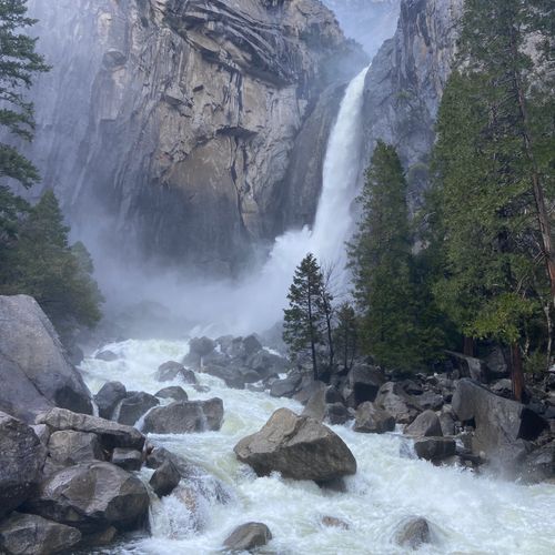
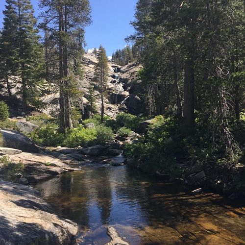
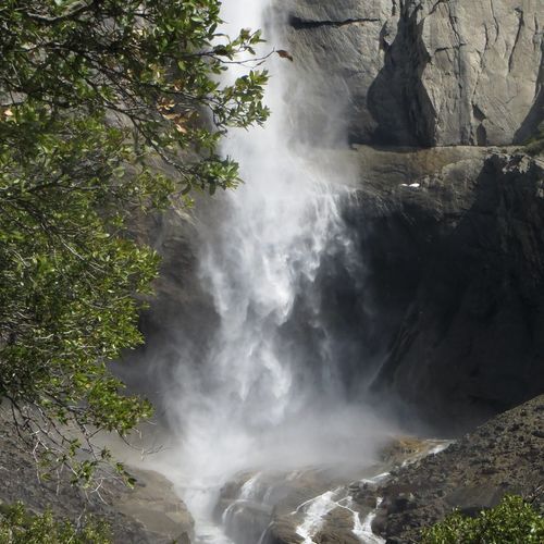
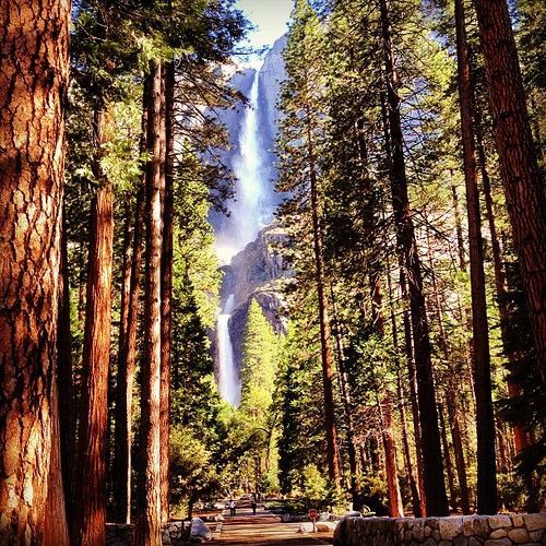
Lower Yosemite Fall View offers a dramatic, close-up look at Yosemite Falls in its entirety; the easy walk to the base of the lower fall lets you feel its spray and thunder in spring, while the cascades quiet to a whisper by late summer. Located in Yosemite Valley, the viewpoint and nearby Yosemite Falls Trail also afford sweeping perspectives of valley meadows, the meandering Merced River, and distant views of Upper Yosemite Fall, Half Dome, and surrounding Sierra peaks.

Viewpoint

Viewpoint

viewpointGlacier Point
Viewpoint

Viewpoint

viewpointTenaya Lake

Viewpoint

viewpointWhite Wolf
Viewpoint

Viewpoint

viewpointWhite Wolf
Viewpoint

Viewpoint

viewpointYosemite Valley
Viewpoint

Viewpoint

viewpointTenaya Lake
Viewpoint

Viewpoint

viewpointTuolumne Meadows

Viewpoint

viewpointTuolumne Meadows
Viewpoint

Viewpoint

viewpointGlacier Point
Viewpoint

Viewpoint

viewpointGlacier Point
Panorama Point

Panorama Point

viewpointGlacier Point

Perched 3,200 feet above Yosemite Valley, Glacier Point is widely regarded as the park’s most spectacular viewpoint, offering sweeping views of Half Dome, Yosemite Valley, the high Sierra, and three waterfalls, and it’s a prime high-elevation stargazing spot. The overlook is a short paved stroll (about 300 yd, 10–15 minutes with a gentle incline) from the Glacier Point parking area; the road is generally open from late May/early June through November.

Waterwheel Falls viewpoint

Waterwheel Falls viewpoint

viewpointTenaya Lake

Waterwheel Falls viewpoint showcases a rare spectacle: during peak flow the cascade creates a spinning "waterwheel" effect as the Tuolumne plunges into the Grand Canyon of the Tuolumne. Access is from the Glen Aulin trailhead at Tuolumne Meadows, and the route is a strenuous northwest hike of about 20.6 miles round trip with 1,850 feet of elevation gain; permits are in high demand, so plan and secure them in advance.

Hetch Hetchy Viewpoint

Hetch Hetchy Viewpoint

viewpointWhite Wolf

Lookout Point sits above Hetch Hetchy Reservoir, framing granite cliffs, the O'Shaughnessy Dam, and spectacular spring waterfalls that recall Yosemite Valley's grandeur. The moderate 2-mile (3 km) roundtrip Lookout Point Trail gains about 680 ft (207 m) from the Hetch Hetchy entrance station; the access road is open year‑round but has restricted hours for reservoir security and may close for snow, and camping, swimming, and boating in the reservoir are prohibited.

Viewpoint

Viewpoint

viewpointGlacier Point
Viewpoint

Viewpoint

viewpointGlacier Point
Viewpoint

Viewpoint

viewpointYosemite Valley
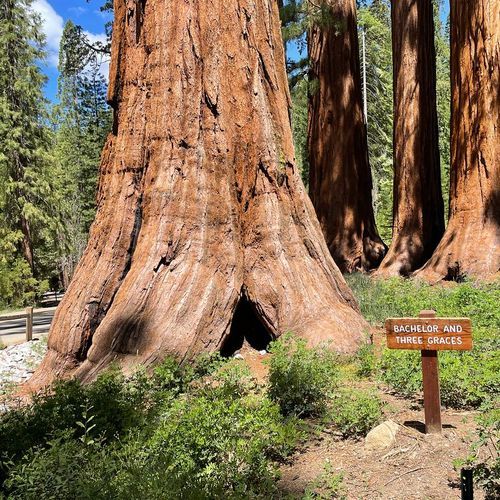
Bachelor and Three Graces

Bachelor and Three Graces

viewpointMariposa Grove & Wawona
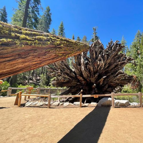
Fallen Monarch

Fallen Monarch

viewpointMariposa Grove & Wawona

This viewpoint spotlights the park’s giant sequoias, the “last of the monarchs,” inviting visitors to appreciate these immense, ancient trees and the conservation work underway to protect them. Learn about threats from climate change and past management and about restoration efforts by watching two short NPS videos: “Last of the Monarchs” (10:34) and “Yosemite Nature Notes 34: Giant Sequoias” (8:55).

Roosevelt Point

Roosevelt Point

viewpointGlacier Point
Viewpoint

Viewpoint

viewpointMariposa Grove & Wawona
Viewpoint

Viewpoint

viewpointWhite Wolf

POI

poiTuolumne Meadows

Pothole Dome is a smooth granite dome rising above Tuolumne Meadows, offering sweeping meadow and high-country views reached by a short scramble. The easy 1-mile (1.6 km) round-trip stroll with about 200 ft (60 m) of elevation gain begins at Pothole Dome Parking along Tioga Road; plan for a brief walk from the road and bring sturdy shoes for the rock scramble.

Vernal Fall

Vernal Fall

poiGlacier Point

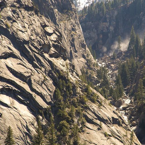
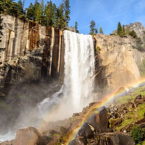
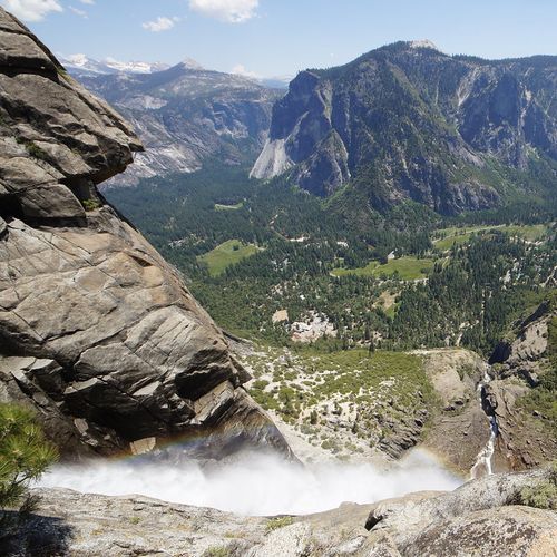
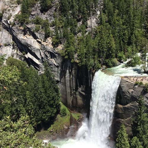
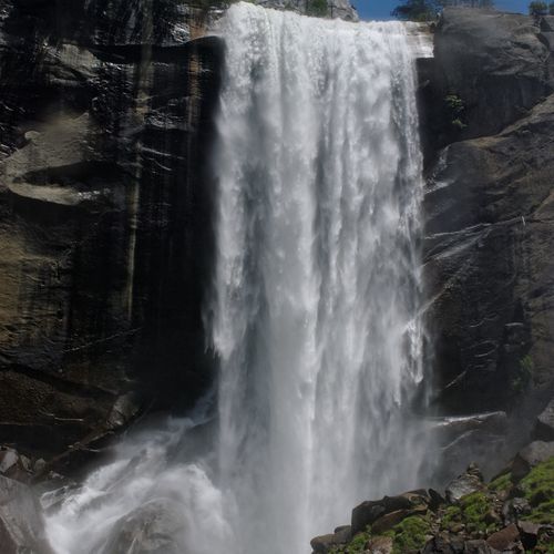
Vernal Fall is a 317-foot cascade that flows year-round and reaches peak volume in late May or June, often narrowing into one to three separate streams by mid-to-late summer. View the fall from Glacier Point when the road, open roughly late May through November, is accessible; a wheelchair-accessible viewpoint is available, or hike the steep Mist Trail/John Muir Trail to the fall. Expect icy conditions and seasonal closures in winter, so check current trail conditions before you go.

Nevada Fall

Nevada Fall

poiGlacier Point

Nevada Fall plunges 594 feet (180 m) in a powerful year-round cascade, with flows peaking in late May or June and dramatic views visible from Glacier Point. The Glacier Point Road (open roughly late May through November) provides a wheelchair-accessible viewpoint when open, and hikers can reach Nevada Fall by continuing beyond Vernal Fall on a steep trail; in winter portions of the Mist Trail and John Muir Trail may be icy or closed and falling icicles create hazardous conditions.

Indian Arch

Indian Arch

poiYosemite Valley
Illilouette Fall

Illilouette Fall

poiGlacier Point

Illilouette Fall is a striking 370-foot (113 m) cascade best known for its year-round flow and dramatic setting, visible only from steep trails, a few miles from Glacier Point along the Panorama Trail, where hikers often notice rainbows at its base. Not visible from any road, the fall reaches peak flow in late May, so plan a hike on the Panorama Trail or the steep route toward Vernal Fall for the most powerful views.

Tunnel Tree

poiCrane Flat

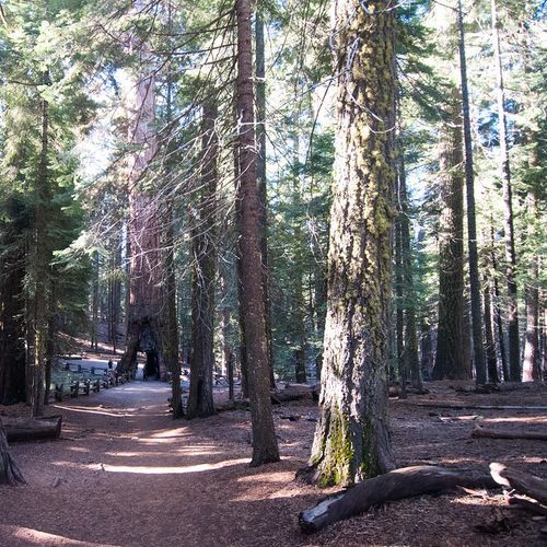
The Tunnel Tree is a magnificent giant sequoia stump featuring a tunnel carved through its trunk, creating a unique and historic attraction. This remarkable site offers hikers an unforgettable experience as they explore the enchanting surroundings of Crane Flat and White Wolf. Marvel at the towering sequoias and the intricate history of this natural wonder as you take a leisurely stroll through its impressive interior.

Bridalveil Fall

Bridalveil Fall

poiYosemite Valley

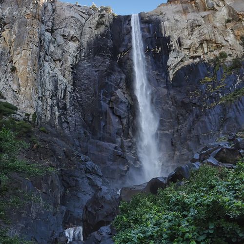
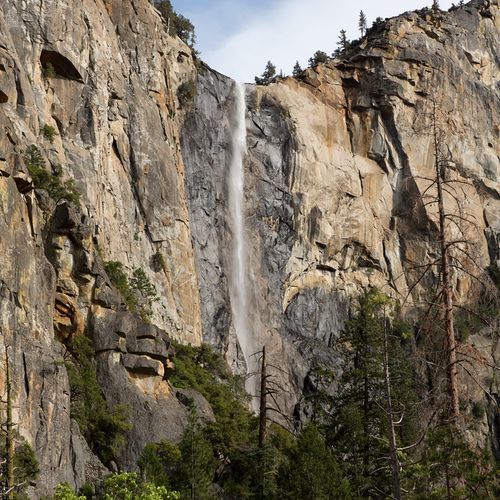
Bridalveil Fall is a 620-foot, often-windswept waterfall that many visitors see first when entering Yosemite Valley, thundering in spring with peak flow in May and offering a light, swaying flow the rest of the year. A short paved path from the signed parking lot leads to a forest clearing and a few short trails (one route is wheelchair-accessible) to the base; restrooms are nearby, trails are open year‑round, and expect heavy spring spray or icy, slick conditions in winter.

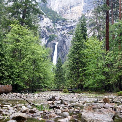
Lower Yosemite Fall

Lower Yosemite Fall

poiYosemite Valley

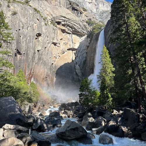
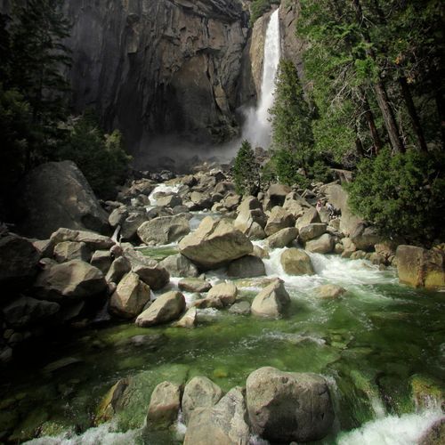
Lower Yosemite Fall is the 320-foot lower tier of Yosemite Falls, one of the world’s tallest waterfalls, and offers a dramatic base view, roaring in spring and early summer. A one-mile loop trail (open year‑round) leads to the base; expect to get a little wet at peak runoff, and the eastern side is wheelchair accessible. The fall often runs dry from late July or August through October, and icy spots can occur in winter on the climb to the footbridge.

Upper Yosemite Fall

Upper Yosemite Fall

poiYosemite Valley

Upper Yosemite Fall crowns Yosemite Falls, one of the world’s tallest waterfalls; the upper drop plunges 1,430 feet as the top of a three‑tiered cascade. It flows November–July with peak runoff in May (expect roaring water April–June and an ice cone at the base in winter); hiking to the top is strenuous via the Yosemite Falls Trail (trailhead behind Camp 4; 7.4 miles, 2,700 ft gain), while the Lower Yosemite Fall loop is open year‑round with an accessible approach.

Grizzly Giant

Grizzly Giant

poiMariposa Grove & Wawona

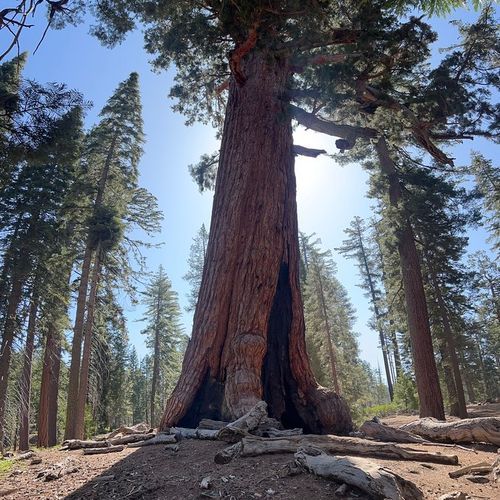
The Grizzly Giant is a 3,000-year-old giant sequoia that anchors Mariposa Grove, offering an unforgettable view of one of Yosemite’s oldest and largest trees. The moderate Grizzly Giant Loop is a 2-mile, 1.5–2 hour hike with about 300 ft of elevation gain from the Mariposa Grove Arrival Area; visitors with a valid disabled placard may drive to Grizzly Giant parking and use a wheelchair-accessible section of trail.

POI

poiCrane Flat

POI

poiCrane Flat

POI

poiCrane Flat

POI

poiCrane Flat

POI

poiCrane Flat

POI

poiCrane Flat
Merced Grove

Merced Grove

poiCrane Flat

Merced Grove is Yosemite's smallest, most intimate sequoia stand, with about two dozen mature giant sequoias tucked into a forest reached after a 1.5-mile hike down from the trailhead. The unpaved 3-mile round-trip trail drops roughly 500 to 600 feet and the return is strenuous; parking is extremely limited, no water is available, and snow can linger (late October to June). Ceremonies must stay on the footpath, avoid standing on sequoia roots, and are limited to 30 people.

Mariposa Welcome Plaza

poiMariposa Grove & Wawona

Mariposa Welcome Plaza is the gateway to Mariposa Grove, the park’s largest grove with over 500 mature giant sequoias and the staging area for a free shuttle into the grove. The plaza has about 300 parking spaces (often filling by late morning), restrooms and year‑round drinking water; the free shuttle can operate no earlier than April 15 and no later than November 30, with dates and hours varying by weather; arrive by mid‑morning or use the seasonal YARTS stop (May–Sept).

Discover more activities and plan your visit in the Parka app

Download Parka — It's Free

Plan your Yosemite National Park trip in the app

Free on the App Store

Get Parka

Why Park Lovers Choose Parka

Trip Planner

All the tools for epic adventures

Works Offline

Fully functional without cell service

Updated Weekly

Trail conditions, alerts, and closures

Try Risk-Free

7-day free trial, cancel anytime

Start Your 7-Day Free Trial

Unlock everything you need for your next national park trip. Your first week is on us!

National Park vista

Start your adventure today

Download Parka and plan your perfect national park trip in minutes.