
Yosemite National Park, renowned for its breathtaking beauty, covers an area of 759,620 acres in the western Sierra Nevada of California. This iconic park is famous for its giant, ancient sequoias, stunning waterfalls, and diverse range of ecosystems from meadows to mountains.
Yosemite Valley, the park's centerpiece, is home to some of the most famous sights in the United States, including El Capitan and Half Dome, two of the world's best-known rock climbing spots. The valley offers awe-inspiring views and is the base from where many of the most adventurous hikes begin.
The park also protects habitats for over 400 species of vertebrates including fish, amphibians, reptiles, birds, and mammals, ensuring a robust biodiversity. Visitors can explore majestic groves of giant sequoias, like in Mariposa Grove, the largest of three sequoia groves in the park. It's one of the few places in the world where you can see these ancient trees that live to be over 3,000 years old.
Yosemite's human history is equally fascinating, having been inhabited by Native American groups for thousands of years. The park was a key focus in the development of the national park idea, largely due to the conservation efforts of individuals like John Muir, who was instrumental in its establishment in 1890. Today, Yosemite continues to inspire artists, tourists, and conservationists. It's a UNESCO World Heritage Site and attracts millions of visitors each year who come to marvel at its summer hiking trails and stunning vistas.
Yosemite National Park
California
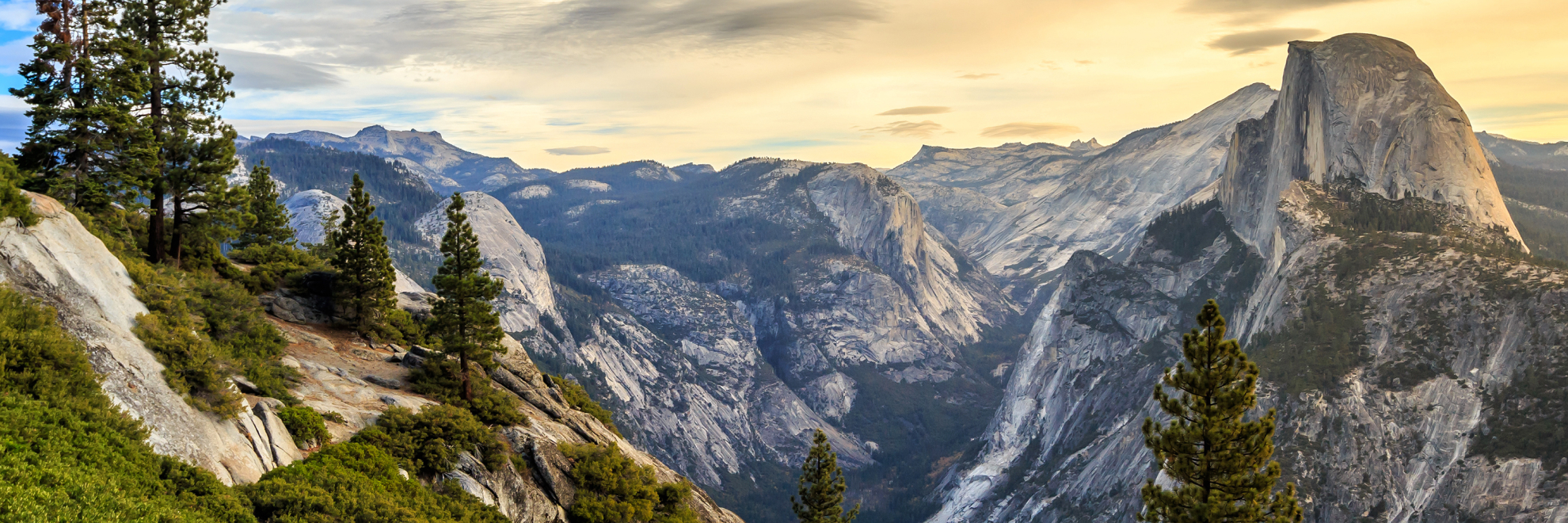
California
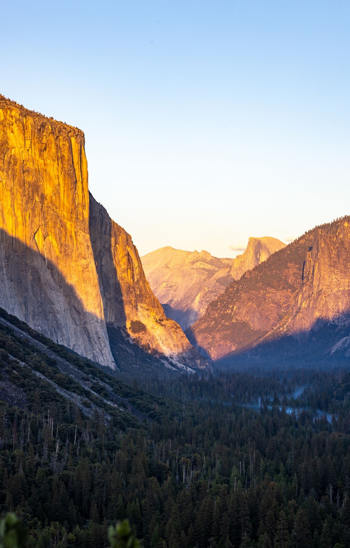
Waterfalls are what Yosemite National Park is best known for, but its nearly 1,200 square miles in California's Sierra Nevada also hold deep valleys, high meadows and lakes, granite domes and groves of giant sequoias, the most massive trees on Earth. The Merced River flows through Yosemite Valley, where short trails lead to the bases of Lower Yosemite Fall and Bridalveil Fall. More than 750 miles of trails cross the park, including the route to Half Dome. About 95 percent of the land is designated wilderness, open to backpackers. The granite walls draw rock climbers, and camping is a popular way to stay. First protected in 1864, Yosemite became the nation's third national park in 1890.
Park Areas
All areas →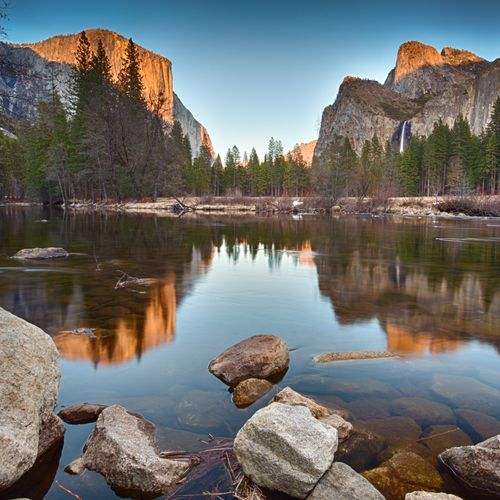
Yosemite Valley
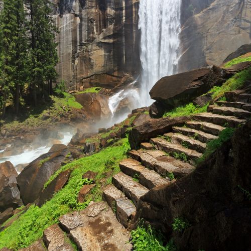
Sheer granite walls rise around this deep canyon, with waterfalls pouring from the rim to a flat floor of forest, meadows and the Merced River, which winds east to west. El Capitan and Half Dome are the landmark formations. Tunnel View, up the Wawona Road, frames El Capitan on the left, Bridalveil Fall on the right and Half Dome in the center. Day hikes range from short, easy walks to the base of Bridalveil Fall or around Cook's Meadow to strenuous climbs toward Vernal and Nevada Falls or up the Four Mile Trail to Glacier Point, whose views take in Half Dome and three waterfalls. Roads stay open all year, and a free shuttle reaches the Happy Isles trailheads. After dark, the meadows are good spots for stargazing, and in climbing season you can watch headlamps glowing on the cliffs.
Glacier Point
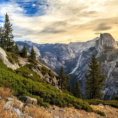
Perched 3,214 feet above Curry Village, this overlook takes in Yosemite Valley, Half Dome, Yosemite Falls and the high country. Glacier Point Road ends here, about 30 miles from the valley, and a short, paved, wheelchair-accessible trail leads from the parking area to the Glacier Point Overlook. Just to the south, Washburn Point offers similar scenery with a more direct look at Vernal and Nevada Falls. Hikers can climb up from the valley on the Four Mile Trail or the Panorama Trail. Along the road, trails reach Taft Point, with views of El Capitan, and Sentinel Dome, and the two can be joined in a loop. Cross-country skiers can follow the groomed road 10.5 miles to the point. After dark, the high elevation makes this a place for stargazing above Half Dome and the valley.
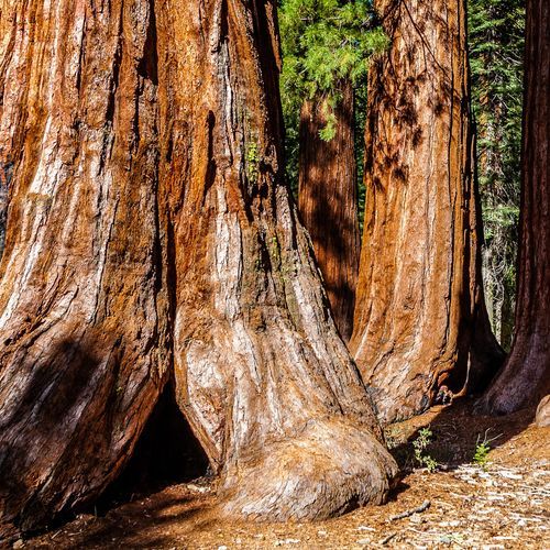
Mariposa Grove & Wawona
Mariposa Grove, the largest of the park's three giant sequoia groves, holds more than 500 mature trees. Visitors park at the Mariposa Grove Welcome Plaza near the South Entrance and ride a shuttle into the grove, where the Grizzly Giant, about 1,800 years old, stands a short walk from the lower area. For a longer hike, the Mariposa Grove Trail climbs 1,200 feet past the Bachelor and Three Graces and the Clothespin Tree to the panoramic overlook at Wawona Point. North of the grove, Wawona centers on the Wawona Hotel, which dates to the late 1800s, with the historic buildings of the Pioneer Yosemite History Center across a covered bridge. The Wawona Meadow Loop follows a fire road around the meadow, and a strenuous trail climbs past the cascades of Chilnualna Fall to its top.
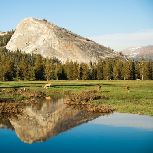
Tuolumne Meadows
At about 8,600 feet, this subalpine meadow ranks among the biggest at high elevation in the Sierra Nevada. The Tuolumne River curves through its grasses, with Cathedral Peaks and glacier-shaped domes such as Lembert Dome around it. Tioga Road, the scenic route linking Crane Flat and Tioga Pass over 47 miles, passes lakes, forest and turnouts with long views. Day hikes start close by. A 1.5-mile round trip leads to Soda Springs, where carbonated water bubbles from the ground, and to the historic Parson's Memorial Lodge and its exhibits. A steep 2.8-mile round trip climbs to Dog Lake for fishing and picnicking, or branches off to the top of Lembert Dome. Backpackers pick up wilderness permits at the wilderness center. Tuolumne Meadows Campground, the park's largest, sits along the road, some sites near the river.
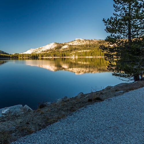
Tenaya Lake
Most lakes in this park lie deep in the wilderness, but this one sits right beside the Tioga Road at 8,150 feet, making it among the easiest to reach by car. Its calm water draws swimmers, and canoes and kayaks are a common sight; every boater needs a personal flotation device on hand. Two picnic areas serve visitors, one of them wheelchair accessible, and a beach sits at the edge of the shore. The lake is also a trail hub. A path heads north along Murphy Creek to Polly Dome Lakes, while the Sunrise trailhead leads south toward Sunrise Lakes and Clouds Rest. Olmsted Point, along the same road, offers a view of the lake from above. After dark, the high elevation and quiet setting make this a good place to watch the stars.
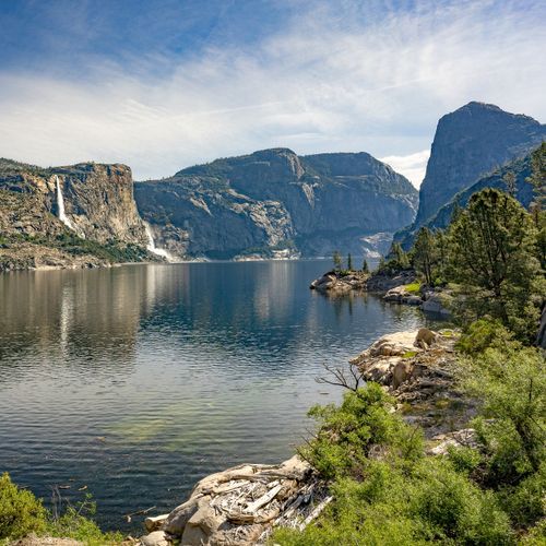
Hetch Hetchy
In the quiet northwest corner of the park, a long reservoir fills a granite valley ringed by domes and cliffs more than a thousand feet high. The 430-foot O'Shaughnessy Dam, completed in 1923, holds back the Tuolumne River and supplies drinking water to about 2.7 million people in the San Francisco Bay Area. Building it followed a bitter fight with John Muir and other preservationists. People had lived in the valley for more than 6,000 years before that, and its name comes from a Miwok word meaning edible grasses. Trails start at the dam. A 5-mile round trip with little shade leads to footbridges at the base of Wapama Falls, and a 13.4-mile route continues to Rancheria Falls. At 3,900 feet, the area has a long hiking season, with thundering waterfalls and wildflowers in spring.
White Wolf
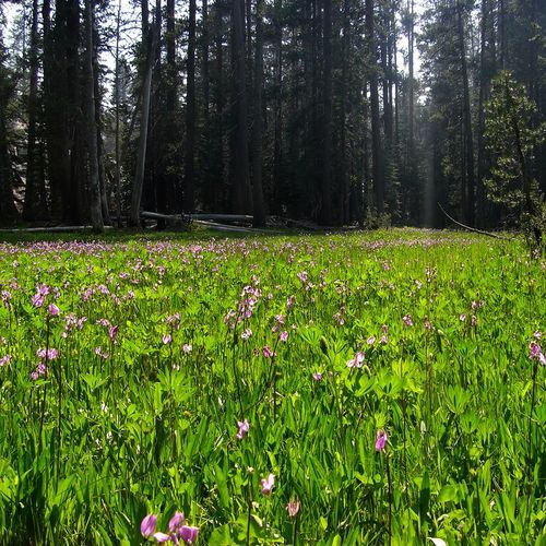
Set at about 8,000 feet in forest north of Tioga Road, this stop between Crane Flat and Tuolumne Meadows lies roughly an hour's drive from Yosemite Valley and serves as a base for camping, day hikes and longer wilderness trips. White Wolf Campground sits about a mile off the road near White Wolf Lodge, with 74 sites for tents and small RVs, water and flush toilets, and no hookups. Sites at the back of the campground are set aside for backpackers, and the lodge offers minimal services. Across from the lodge, the Lukens Lake Trail makes a 4.6-mile round trip through forest to a small lake ringed by meadow and early-summer wildflowers, crossing the Middle Fork of the Tuolumne River. Other trailheads lead to Harden Lake, Ten Lakes, Aspen Valley and the Grand Canyon of the Tuolumne.
Crane Flat
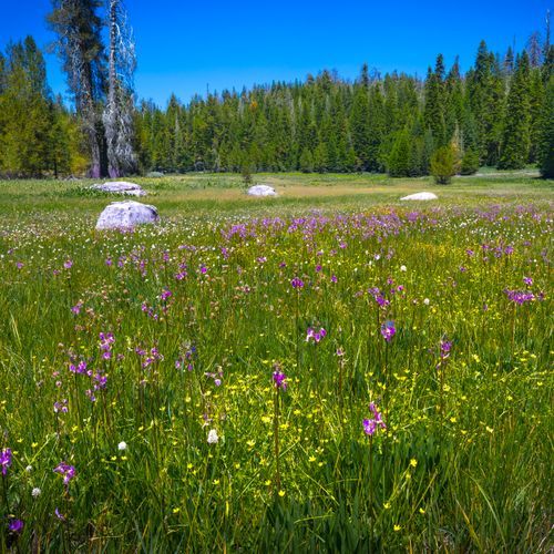
A pleasant mix of forest and meadow defines this area, where camas and western bistort bloom in the grass and bears are regularly spotted in the meadows. Two groves of giant sequoias lie close by, each with about two dozen mature trees and reachable only on foot. The Tuolumne Grove sits just east on the Tioga Road at the end of a 1-mile walk that drops 500 feet, while the Merced Grove, off the Big Oak Flat Road, takes a 1.5-mile descent. Both climbs back out are strenuous. Crane Flat Campground, at 6,200 feet along the Big Oak Flat Road, has 151 sites for tents and RVs, with a gas station nearby. In winter, marked but ungroomed ski and snowshoe routes lead to Crane Flat Lookout or around the 6.25-mile Gin Flat Loop Trail.
Popular Hiking Trails
All trails →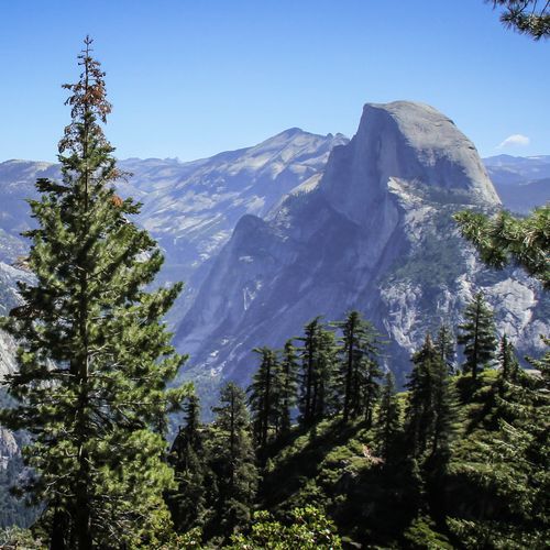
Four Mile Trail
Difficult9.6 mi
Mist Trail
Difficult6.3 mi
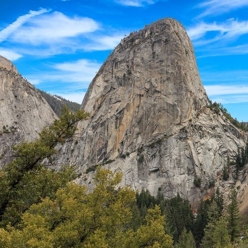
Panorama Trail
Difficult9.0 mi
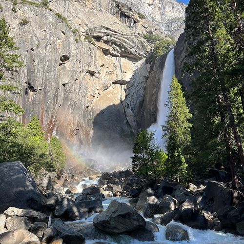
Lower Yosemite Fall Trail
Easy1.1 mi
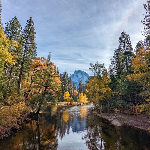
Yosemite Valley Loop Trail
Easy20.3 mi
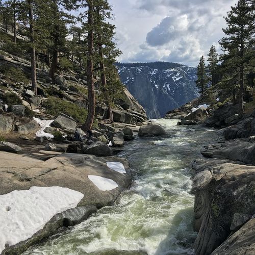
Upper Yosemite Fall Trail
Difficult7.2 mi
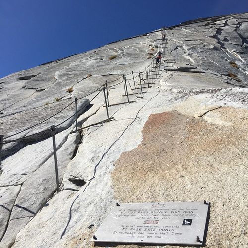
Half Dome Trail
Extreme16.5 mi
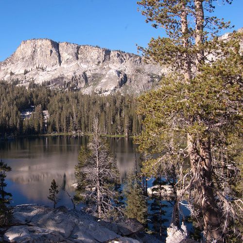
Ten Lakes Trail
Difficult12.1 mi
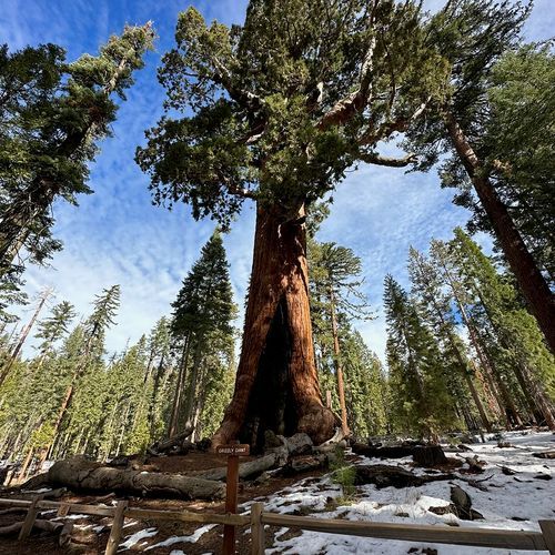
Grizzly Giant Loop Trail
Easy2.0 mi
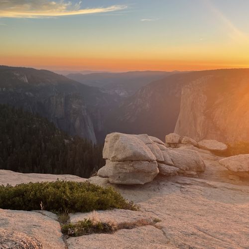
Lembert Dome and Dog Lake Trail
Moderate4.7 mi
Visitor Centers
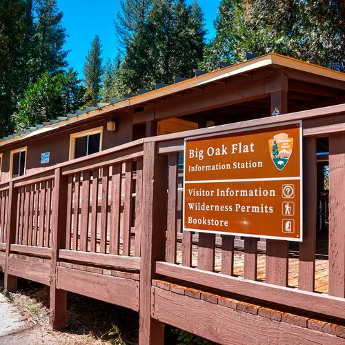
Big Oak Flat Information Station
8:00AM - 5:00PM
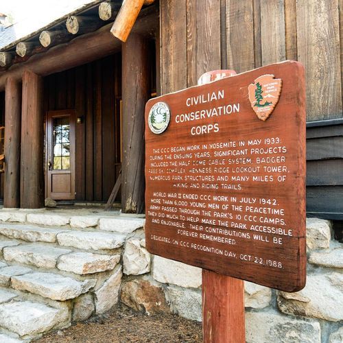
Tuolumne Meadows Visitor Center
9:00AM - 5:00PM
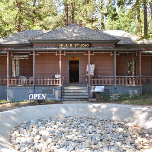
Wawona Visitor Center at Hill's Studio
9:00AM - 5:00PM
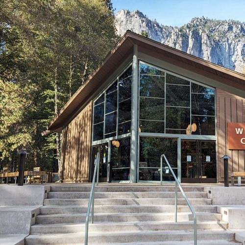
Yosemite Valley Welcome Center
9:00AM - 5:00PM
Campgrounds
Camping guide →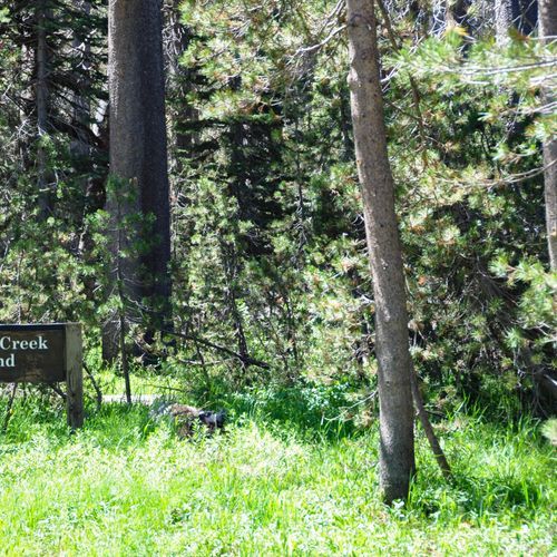
Bridalveil Creek Campground
Glacier Point
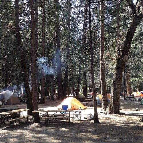
Camp 4 Campground
Yosemite Valley
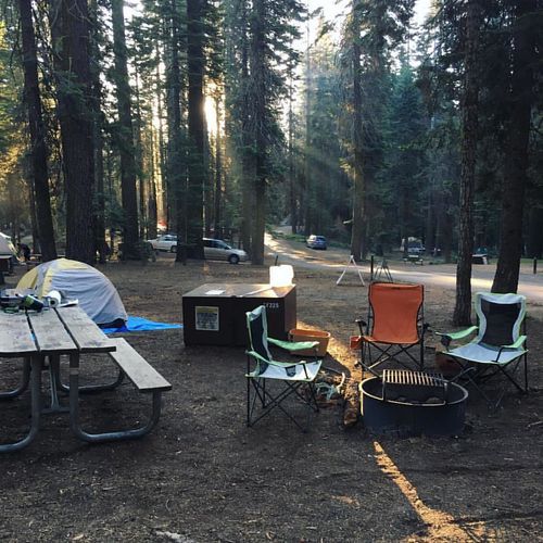
Crane Flat Campground
Crane Flat
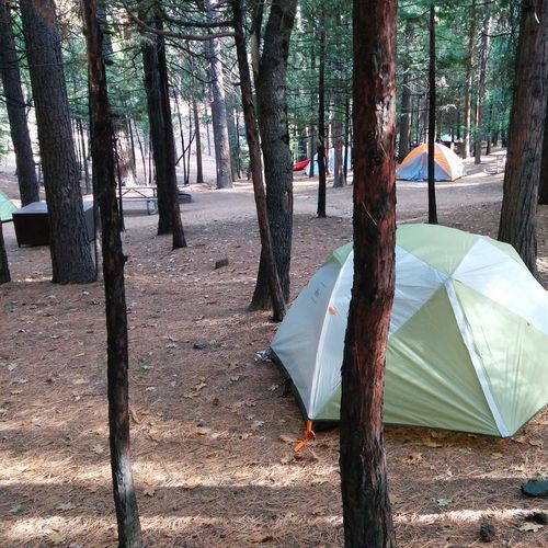
Hodgdon Meadow Campground
Crane Flat
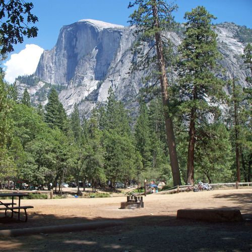
Lower Pines Campground
Glacier Point
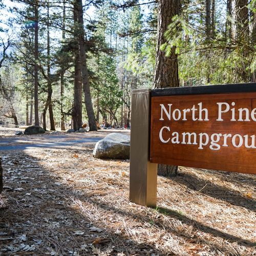
North Pines Campground
Glacier Point
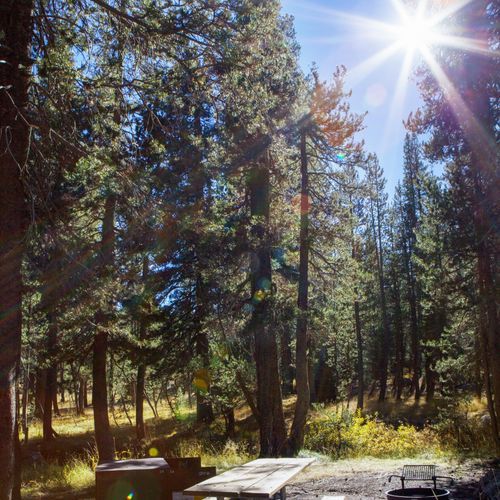
Porcupine Flat Campground
Yosemite Valley
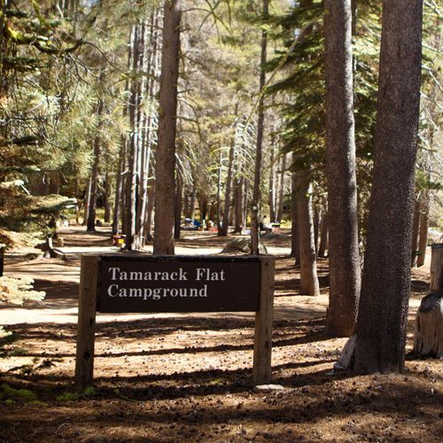
Tamarack Flat Campground
Crane Flat
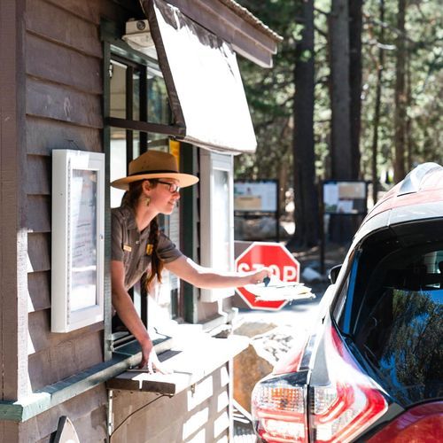
Tuolumne Meadows Campground
Tuolumne Meadows
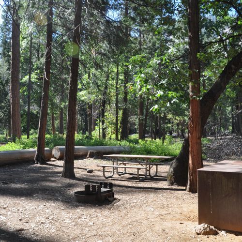
Upper Pines Campground
Glacier Point
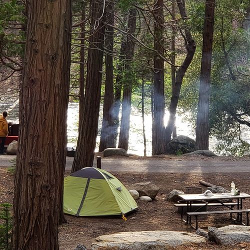
Wawona Campground
Mariposa Grove & Wawona
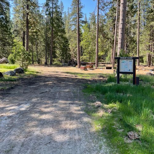
Wawona Horse Camp
Mariposa Grove & Wawona
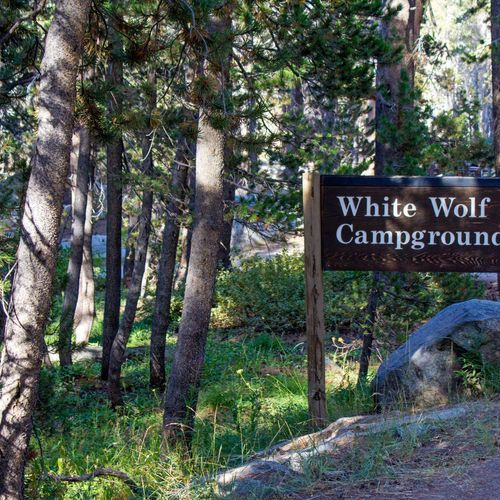
White Wolf Campground
White Wolf
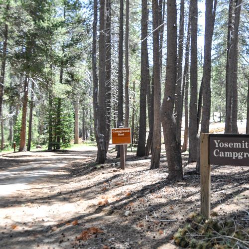
Yosemite Creek Campground
White Wolf
About the Park
Park Areas
Yosemite Valley is the heart of Yosemite National Park, renowned for its breathtaking granite cliffs like El Capitan and Half Dome. It is a hub for rock climbing and photography, with accessible trails for all skill levels. Visitors can easily view iconic waterfalls such as Yosemite Falls and Bridalveil Fall. The valley's meadows and diverse ecosystems attract wildlife enthusiasts year-round.
Glacier Point provides unparalleled panoramic views of Yosemite Valley, Half Dome, and the High Sierra from an elevation of 7,214 feet. Accessible via Glacier Point Road, it is a prime location for sunrise and sunset photography. Informational displays enhance visitor understanding of the park's geology and ecology.
Mariposa Grove, home to over 500 mature giant sequoias, offers a tranquil experience distinct from the bustling Yosemite Valley. Wawona, with its historic hotel, provides a glimpse into the park's past. Trails like the Grizzly Giant Loop allow visitors to explore these ancient trees up close.
Tuolumne Meadows offers a peaceful escape with expansive subalpine meadows and granite domes, appealing to those seeking solitude. It serves as a starting point for hikes like the John Muir and Pacific Crest Trails, featuring diverse flora and fauna at higher elevations.
Crane Flat acts as a convenient hub for exploring Yosemite's diverse landscapes, providing access to less crowded sequoia groves. In winter, it offers cross-country skiing and snowshoeing opportunities.
Hetch Hetchy showcases dramatic granite cliffs and waterfalls, offering a serene alternative to the valley. Its trails and historical significance add to its appeal.
White Wolf and Tenaya Lake provide tranquil retreats with fewer crowds, offering unique experiences with hiking, picnicking, and water activities in cooler climates.
Park Guides
All 12 guides →Two Rivers, One Crowded Valley: Yosemite's Layout
Yosemite Valley covers about 12 square miles, roughly one percent of the park, yet most of the more than five million yearly visitors spend their time there.
Snowpack, Elevation, and When Roads Open
Yosemite has a Mediterranean climate, so nearly all of its precipitation arrives during the mild winter while the long summers stay almost dry.
Half Dome, El Capitan and the Valley's Icons
Half Dome is perhaps the most recognized symbol of Yosemite, a granite formation rising nearly 5,000 feet above the floor of Yosemite Valley.
Mariposa Grove's Giant Sequoias
Giant sequoias are the largest trees on Earth by volume, and Yosemite holds three groves of them.
Driving the Tioga Road Across the High Sierra
The Tioga Road carries Highway 120 across Yosemite for 46 miles, climbing from Crane Flat to Tioga Pass on the park's eastern edge.
