ParkaDownload
Rocky Mountain National Park

Things to Do in Rocky Mountain National Park

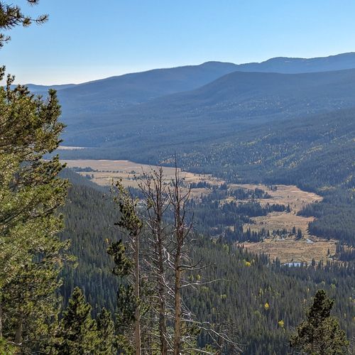
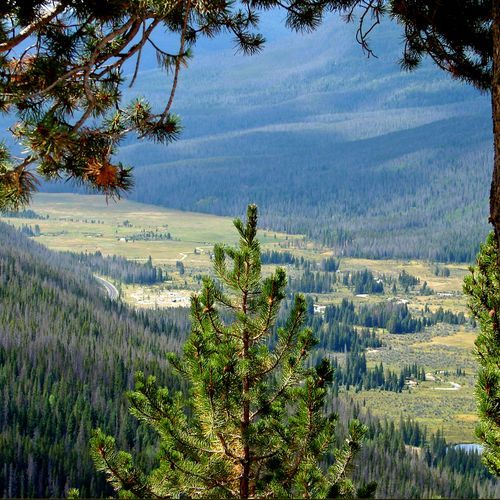
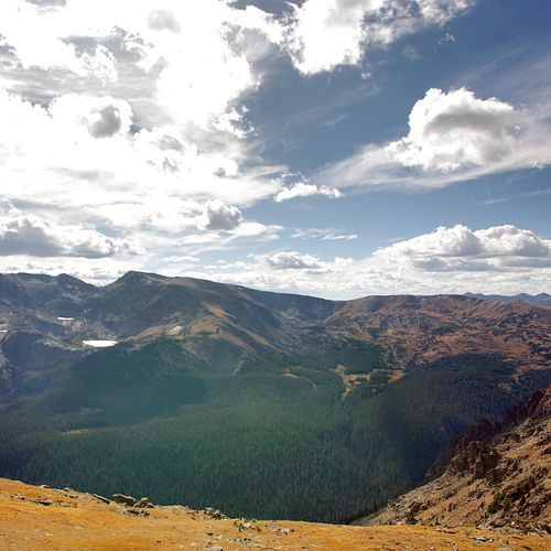
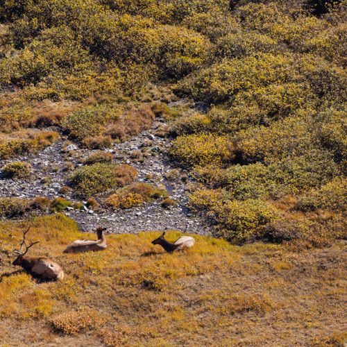
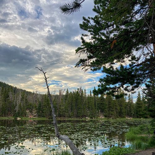
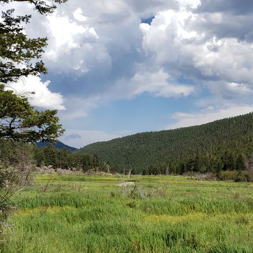
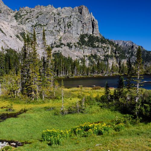
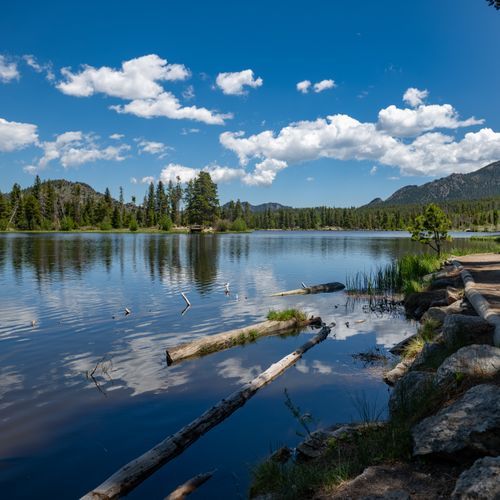
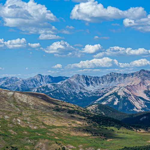
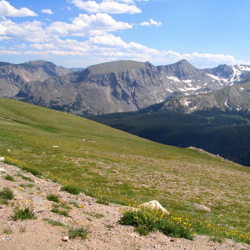
Rocky Mountain National Park delivers far more than trail time. The signature non-hiking experience is the drive itself: Trail Ridge Road is one of the great alpine roads in America, climbing above treeline to sweeping views, tundra scenery, and frequent wildlife sightings. Pull over often at places like Forest Canyon Overlook for vast, high-country panoramas, then continue to classic park landmarks including the Alpine Visitor Center, Fall River Pass, and Milner Pass on the Continental Divide. On the east side, broad meadow landscapes at Horseshoe Park, Moraine Park, and Upper Beaver Meadows are prime territory for watching elk and taking in that iconic Rocky Mountain mix of open valley floor and sharp granite skyline. If you want scenic beauty without committing to a major hike, the park is full of easy-access points of interest. Bear Lake and Sprague Lake are two of the best, with calm water, mountain reflections, and gentle shoreline walks that feel more like leisurely sightseeing than backcountry effort. Along the west side, Kawuneeche Valley offers a quieter, wider-open mood, while Wild Basin adds a wilder, more secluded sense of arrival. History adds another layer to the experience, from the ghost-town remains of Lulu City and Dutchtown to cultural stops like the Moraine Park Museum and Amphitheater and the Holzwarth area, where the park’s human story comes into focus against the mountain setting. For families, photographers, and anyone building a lower-impact itinerary, Rocky is especially rewarding for picnicking, ranger programs, wildlife watching, horseback riding, fishing, and simply spending time at the water’s edge. While this is not a beach park in the classic sandy sense, the lake shores at spots like Sprague Lake and Bear Lake offer the closest thing to alpine beach time: places to sit, linger, and enjoy the scenery. In summer, sunrise and sunset at the lakes and overlooks are unforgettable; in fall, elk rut activity turns the meadows into one of the park’s most dramatic spectacles; and in winter, scenic drives to accessible areas, snowshoe outings, and quiet snow-covered lakes give Rocky Mountain National Park an entirely different kind of magic.

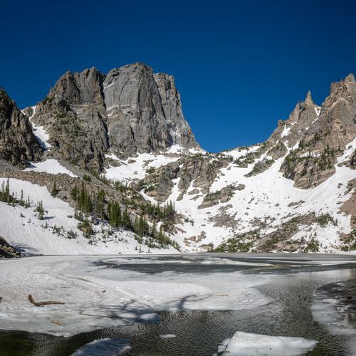
Emerald Lake Overlook

Emerald Lake Overlook

viewpointEast Side

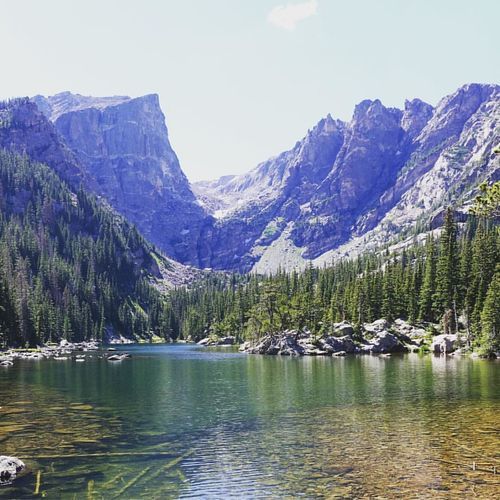
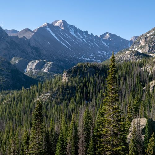
Emerald Lake Overlook offers sweeping views of Emerald Lake and Longs Peak and is a highlight of the popular Emerald Lake Trail, which reaches three gorgeous alpine lakes, Nymph, Dream, and Emerald, in a relatively short amount of time. This family-friendly, well-trafficked route is one of Rocky Mountain National Park’s most popular hikes and can be extended to include Bear Lake and Lake Haiyaha, making it a flexible outing suitable for almost all ages.

Dream Lake Overlook

Dream Lake Overlook

viewpointEast Side

Dream Lake Overlook is a stunning high-elevation viewpoint accessible from the Bear Lake trailhead. Here, you can enjoy breathtaking alpine lake and mountain vistas along the beautiful Bear Lake–Dream Lake corridor. Bear Lake parking can fill quickly, often by 9 a.m., and trails may be snow-covered from late October through early June, so traction devices and waterproof boots are recommended.

Viewpoint

Viewpoint

viewpointEast Side

Mirror Lake Overlook

viewpointAlpine Areas

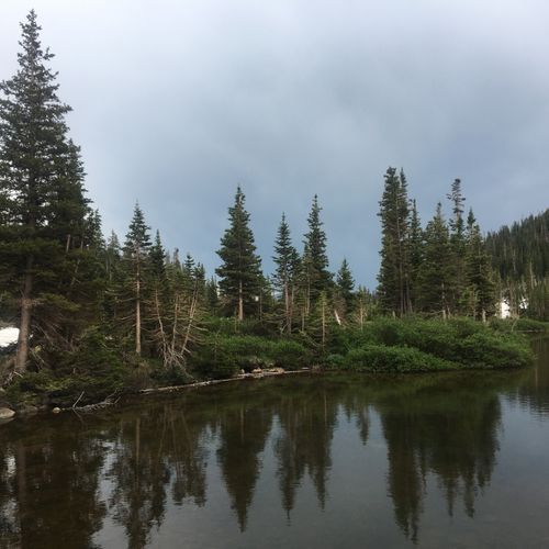
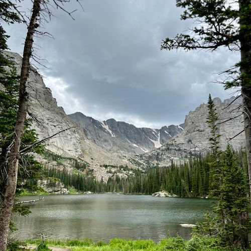
Mirror Lake Overlook provides stunning views of the serene alpine lake, reflecting the majestic peaks surrounding it. Visitors can enjoy picturesque vistas that change with the light throughout the day. This tranquil spot is perfect for photography, picnicking, or simply soaking in the beauty of nature.

Adams Falls

Adams Falls

viewpointWest Side

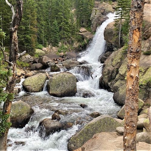
Adams Falls offers a beautiful viewpoint on the West Side, providing stunning views of cascading water. Be mindful that waterfalls and streams can be cold, high, and fast during summer, so it's important to stay safe by using designated viewpoints and trails. Enjoy the natural beauty while exercising caution near water.

Viewpoint

Viewpoint

viewpointAlpine Areas
Forest Canyon Overlook

Forest Canyon Overlook

viewpointAlpine Areas

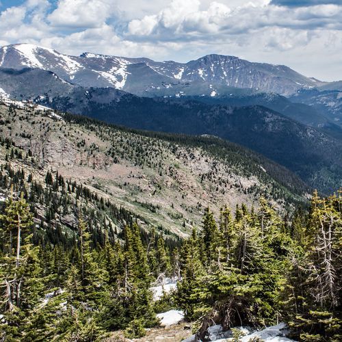
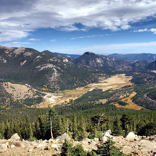
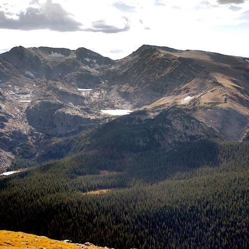
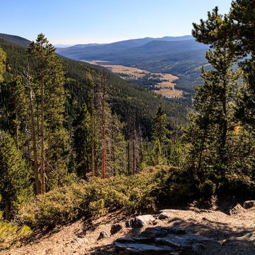
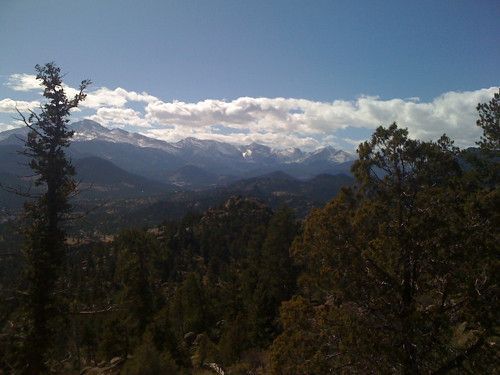
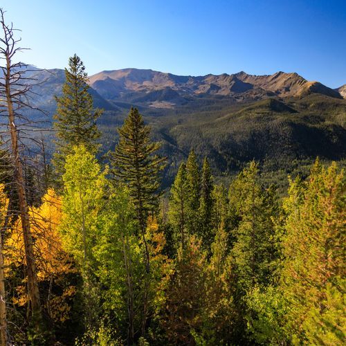
Forest Canyon Overlook offers stunning views of the park's Alpine Areas, showcasing the beauty of the surrounding landscape. As you enjoy the overlook, remember to practice Leave No Trace principles, including planning ahead and camping on durable surfaces. Please note that campfires are prohibited in this area, and it's essential to use a bear-resistant food canister from April 1 to October 31.

Viewpoint

Viewpoint

viewpointAlpine Areas
Viewpoint

Viewpoint

viewpointAlpine Areas
Viewpoint

Viewpoint

viewpointAlpine Areas
Lava Cliffs Overlook

Lava Cliffs Overlook

viewpointAlpine Areas
Medicine Bow Curve

Medicine Bow Curve

viewpointAlpine Areas

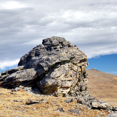
Medicine Bow Curve offers stunning vistas from a rocky outcrop, where visitors can gaze across majestic mountains, expansive meadows, and ancient moraines. This scenic viewpoint is ideal for small gatherings, providing a peaceful space to soak in the natural beauty. Although there are no restrooms on-site, the surrounding landscape promises an unforgettable experience for those who venture to this breathtaking location.

Fairview Curve Viewpoint

Fairview Curve Viewpoint

viewpointAlpine Areas

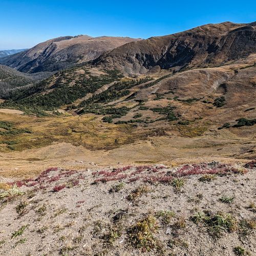
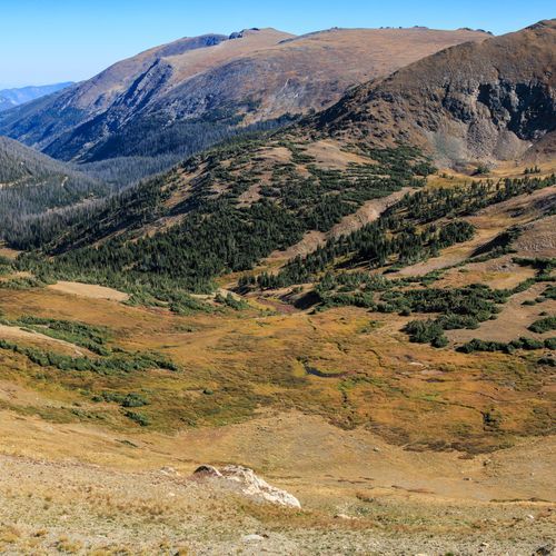
Farview Curve (listed in park distance charts as Farview Curve) sits at 10,120 feet and is identified on park maps as a high-elevation roadside viewpoint in the park's alpine area. The provided sources supply only elevation and distance chart entries for this stop and do not include a descriptive account, parking, restroom, or accessibility details; other pullouts (for example, 3M Curve) have such specifics, but not for Farview.

Viewpoint

Viewpoint

viewpointAlpine Areas
Viewpoint

Viewpoint

viewpointAlpine Areas
Mushroom Rocks

Mushroom Rocks

viewpointAlpine Areas

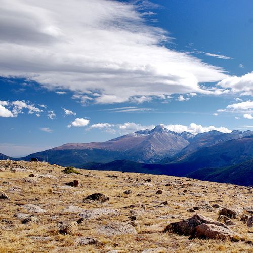
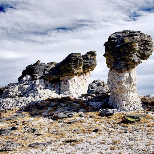
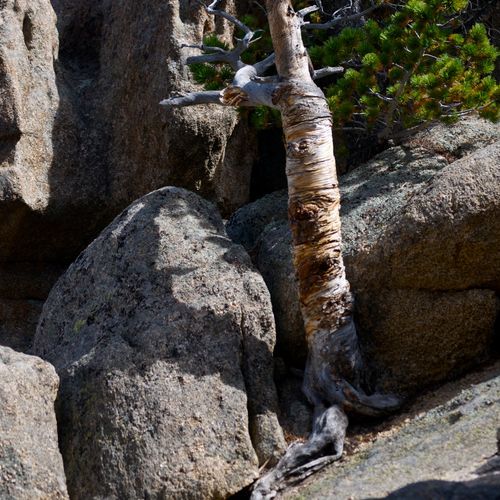
Mushroom Rocks offers one of the most memorable stops along Trail Ridge Road, where weathered outcrops of gneiss and Silver Plume granite emerge from the earth just beside the trail like sentinels of an ancient landscape. The views stretch for miles across the high country, and the surrounding tundra tells a quiet story of survival against the odds. Life here operates on a different clock. Bitter cold, relentless wind, and a growing season measured in weeks force plants to adapt in extraordinary ways. Many hug the ground to avoid the worst of the elements, and a single wildflower bloom may represent decades of slow, patient energy storage. What looks sparse is anything but simple. Watch Your Step: The tundra appears tough, but it is surprisingly easy to damage and extraordinarily slow to recover. A single shortcut off the trail can set back plant communities by centuries. Please stick to the designated path and encourage others to do the same. Know Before You Go: The altitude here catches many visitors off guard. Headaches, fatigue, and nausea are common at this elevation, and symptoms can escalate quickly. Pace yourself, drink plenty of water, and do not push through if you are feeling unwell. Descending is always the right call if symptoms worsen. A Word on Weather: Trail Ridge Road is subject to sudden and dramatic weather changes. Conditions that look clear at the start of your drive can shift fast. Check the forecast ahead of time and stay flexible with your plans.

Viewpoint

Viewpoint

viewpointAlpine Areas
Viewpoint

Viewpoint

viewpointAlpine Areas
Viewpoint

Viewpoint

viewpointAlpine Areas
Viewpoint

Viewpoint

viewpointAlpine Areas
Viewpoint

Viewpoint

viewpointAlpine Areas
Viewpoint

Viewpoint

viewpointAlpine Areas
Viewpoint

Viewpoint

viewpointAlpine Areas
Viewpoint

Viewpoint

viewpointEast Side
Viewpoint

Viewpoint

viewpointEast Side
Viewpoint

Viewpoint

viewpointEast Side
Viewpoint

Viewpoint

viewpointEast Side
Viewpoint

Viewpoint

viewpointEast Side
Viewpoint

Viewpoint

viewpointEast Side
Viewpoint

Viewpoint

viewpointWest Side
Viewpoint

Viewpoint

viewpointEast Side
Viewpoint

Viewpoint

viewpointAlpine Areas
Viewpoint

Viewpoint

viewpointEast Side
Viewpoint

Viewpoint

viewpointAlpine Areas
Balanced Rock

Balanced Rock

poiEast Side

Balanced Rock stands amid striking rock formations, offering an immersive outdoor experience shaped by regional geology and wildlife. The area features Precambrian metamorphic rock and Pikes Peak granite. Visitors can enjoy climbing while adhering to minimum-impact practices: stay on trails, avoid removing vegetation or moving rocks, keep noise low, brush off chalk, and never chip or drill the rock. Be mindful of wildlife such as bats, packrats, black bears, mountain lions, bighorn sheep, and cliff-dwelling wrens.

State Highway 119

poiWest Side

State Highway 119

poiWest Side

State Highway 119

poiWest Side

Caribou Street

poiWest Side

POI

poiEast Side

POI

poiEast Side

POI

poiWest Side

State Highway 119

poiWest Side

State Highway 119

poiWest Side

State Highway 119

poiWest Side

State Highway 119

poiWest Side

State Highway 119

poiWest Side

State Highway 119

poiWest Side

Black Hawk Boulevard

poiWest Side

State Highway 119

poiWest Side

State Highway 119

poiWest Side

State Highway 119

poiWest Side

Black Hawk Boulevard

poiWest Side

State Highway 119

poiWest Side

State Highway 119

poiWest Side

State Highway 119

poiWest Side

State Highway 119

poiWest Side

POI

poiEast Side

POI

poiEast Side

POI

poiEast Side

Black Hawk Boulevard

poiWest Side

State Highway 119

poiWest Side

State Highway 119

poiWest Side

State Highway 119

poiWest Side

State Highway 119

poiWest Side

State Highway 119

poiWest Side

POI

poiWest Side

POI

poiWest Side

POI

poiWest Side

POI

poiEast Side

POI

poiEast Side

POI

poiEast Side

POI

poiEast Side

POI

poiEast Side

POI

poiEast Side

POI

poiEast Side

POI

poiEast Side

POI

poiEast Side

POI

poiEast Side

POI

poiEast Side

POI

poiEast Side

POI

poiEast Side

POI

poiEast Side

POI

poiEast Side

POI

poiEast Side

POI

poiEast Side

POI

poiEast Side

POI

poiEast Side

POI

poiEast Side

POI

poiEast Side

POI

poiEast Side

POI

poiEast Side

POI

poiEast Side

POI

poiEast Side
Peak To Peak Highway

Peak To Peak Highway

poiEast Side

Peak to Peak Highway is the oldest Colorado Scenic Byway, winding through breathtaking landscapes on the edge of Rocky Mountain National Park. This stunning drive showcases the area's natural beauty, featuring panoramic views of towering peaks and lush forests. As you travel along the highway, numerous viewpoints offer perfect spots for photos and a chance to absorb the serene surroundings.

Trail Ridge Road/Beaver Meadow National Scenic Byway

Trail Ridge Road/Beaver Meadow National Scenic Byway

poiAlpine Areas

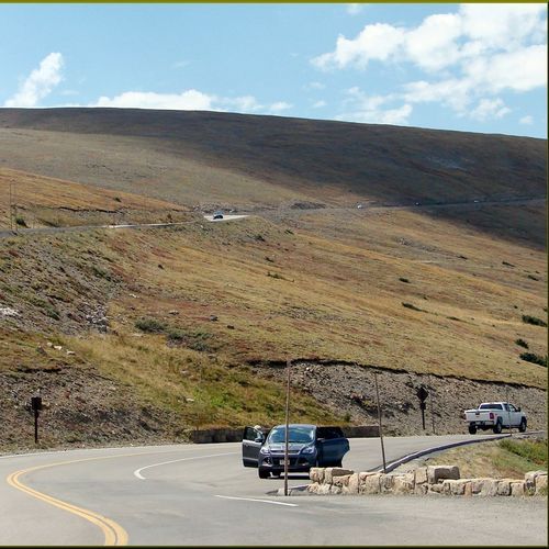
Trail Ridge Road and the Beaver Meadows corridor deliver a dramatic high-elevation drive, as Trail Ridge Road rises above 12,000 feet with eleven miles above treeline, sweeping across alpine tundra and offering expansive vistas. Expect wildlife (including bighorn sheep) and scenic overlooks; note seasonal closures: Trail Ridge Road closes for winter at Many Parks Curve, and Upper Beaver Meadows Road typically closes mid-October to mid-May. Summer vault toilets, small parking areas, a picnic area, and trailheads serve Upper Beaver Meadows.

Old Fall River Road

Old Fall River Road

poiAlpine Areas

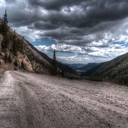
Old Fall River Road, built 1913–1920 as Rocky Mountain's first auto route to the alpine tundra, is a unique, slower-paced “motor nature trail,” a narrow, primarily gravel, one-way climb to Fall River Pass (11,796 feet). The road is seasonal, typically open to vehicles early July through early October but currently closed, and prohibits vehicles over 25 feet or towing trailers; bicyclists may use the road under seasonal rules (when open uphill-only; when closed they may ascend then return).

Discover more activities and plan your visit in the Parka app

Download Parka — It's Free

Plan your Rocky Mountain National Park trip in the app

Free on the App Store

Get Parka

Why Park Lovers Choose Parka

Trip Planner

All the tools for epic adventures

Works Offline

Fully functional without cell service

Updated Weekly

Trail conditions, alerts, and closures

Try Risk-Free

7-day free trial, cancel anytime

Start Your 7-Day Free Trial

Unlock everything you need for your next national park trip. Your first week is on us!

National Park vista

Start your adventure today

Download Parka and plan your perfect national park trip in minutes.