ParkaDownload
Rocky Mountain National Park

Trails in Rocky Mountain National Park

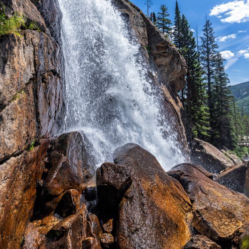
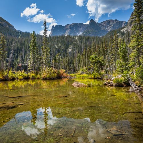
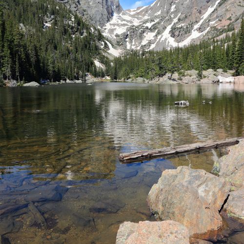
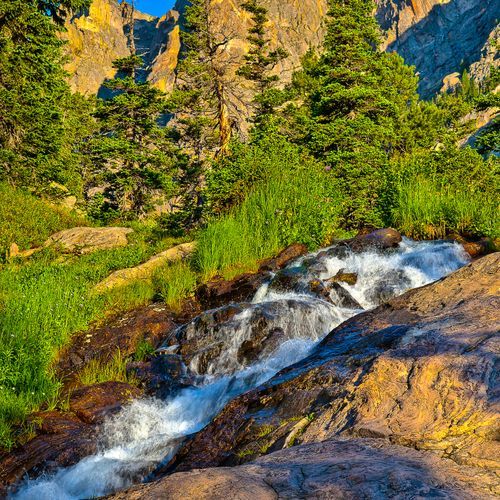
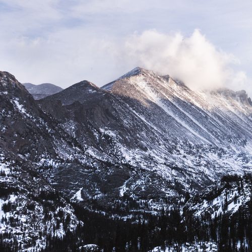
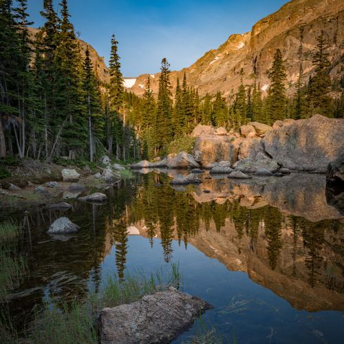
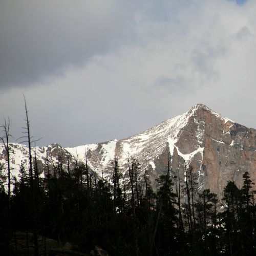
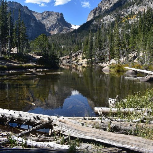
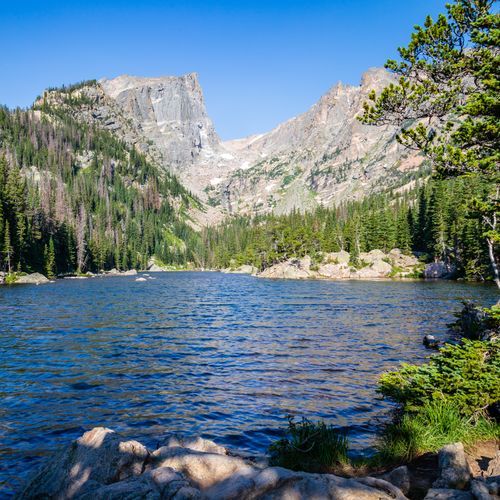
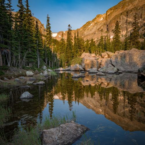
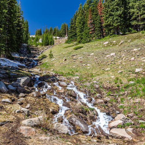
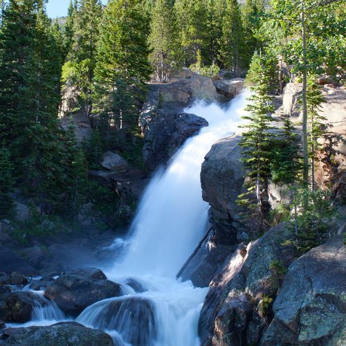
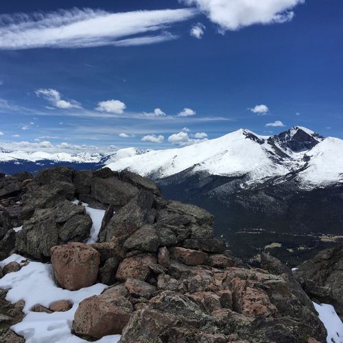
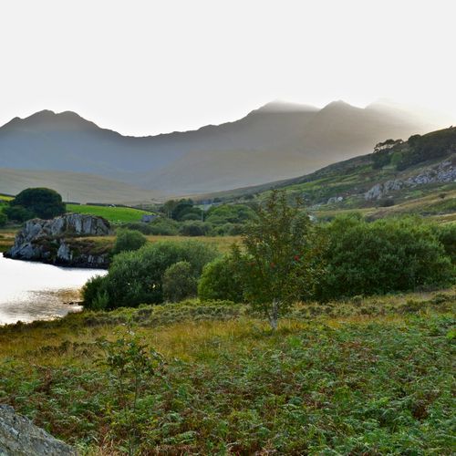
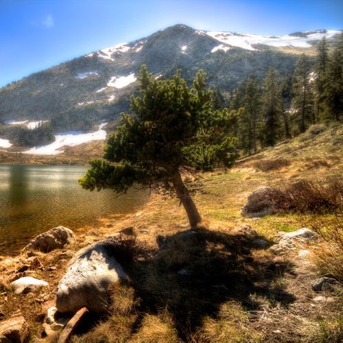
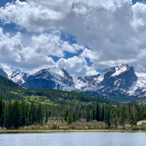
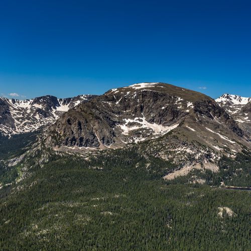
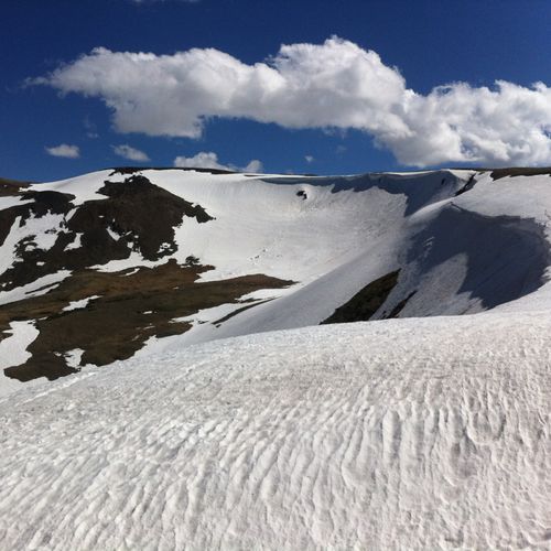
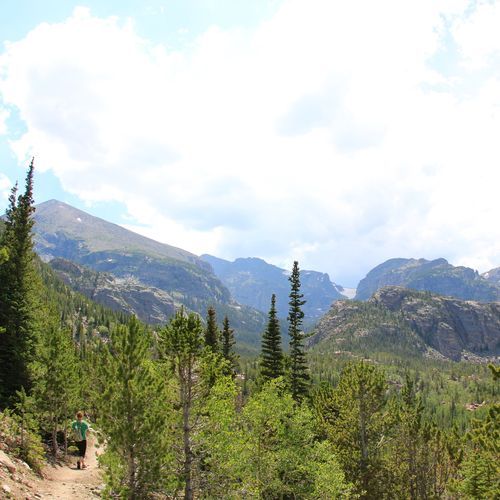
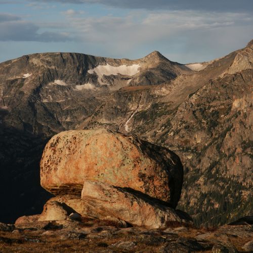
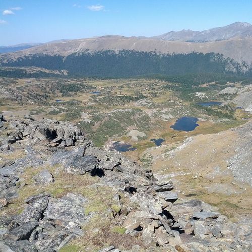
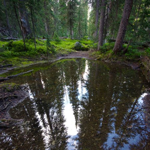
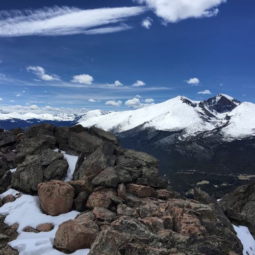
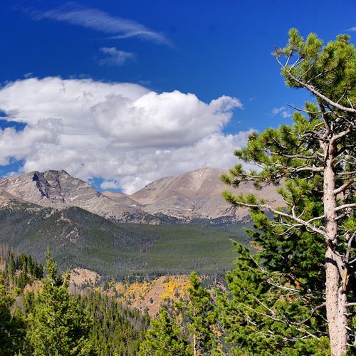
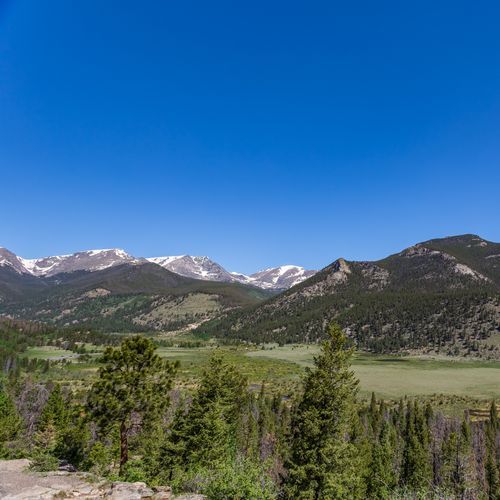
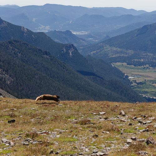
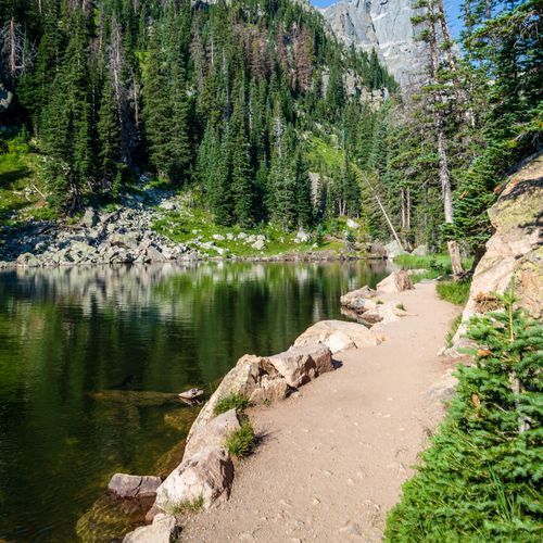
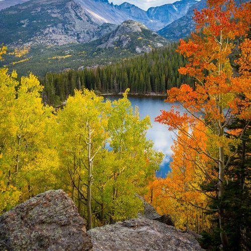
Rocky Mountain National Park is one of America’s great hiking parks because it delivers the full alpine spectrum, from gentle lakeside walks to punishing summit pushes, all within a landscape that feels outsized in every direction. With 139 trails spread across easy, moderate, difficult, and extreme categories, the park works for nearly every kind of hiker. Families and first-timers can ease into the altitude on short, scenic favorites like Bear Lake, Sprague Lake, and Coyote Valley Trail, where level paths, reflective water, and frequent wildlife sightings make the experience immediately rewarding. Moderate routes begin to open up the park’s signature terrain—pine forest, rushing creeks, waterfalls, and bigger mountain views—while the difficult and extreme trails take strong hikers into the high country, where the scenery turns dramatic and the effort becomes part of the appeal. The standout hikes here are famous for good reason. Alberta Falls is a classic quick payoff, while the Dream Lake and Emerald Lake corridor delivers the kind of alpine lake scenery that defines Rocky Mountain National Park for many visitors. Beyond those marquee trails, the park’s deeper magic lies in how quickly it shifts character: one hike may lead through dense forest to a waterfall, another to a windswept tundra overlook, and another across the Continental Divide beneath jagged summits. That variety is what makes hiking here so special. Rocky Mountain is not just a place for a pleasant walk in the woods; it is a place to move through distinct mountain worlds, with soaring peaks, glacier-shaped valleys, wildflower meadows, and a real sense of elevation and exposure. Few parks offer this much range, and fewer still pair it with such a consistently spectacular payoff.

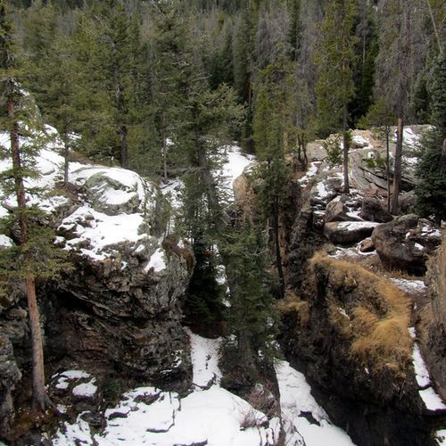
Adams Falls Loop

Adams Falls Loop

Easy0.7 mi

This short hike leads through a mixed forest of pines and aspens to a stunning waterfall, offering breathtaking views and a chance to see wildlife like moose. The trail is ideal for families and beginners, providing a quick and rewarding experience with minimal elevation change.
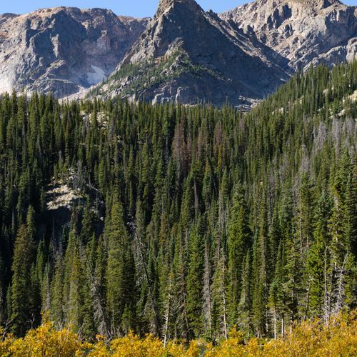
Bear Lake Trail

Bear Lake Trail

Easy0.6 mi

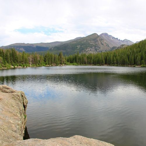
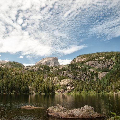
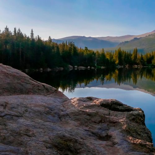
Bear Lake offers picturesque views of an alpine lake, Hallett Peak, and the surrounding mountain peaks. The short loop trail provides a serene environment and is a very popular destination for visitors.

Chasm Lake Trail

Chasm Lake Trail

Difficult8.3 mi

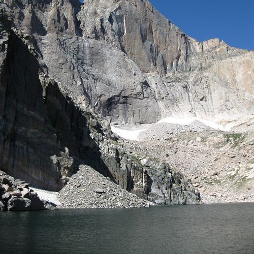
Hike through subalpine forest and alpine tundra to reach a striking alpine lake beneath the dramatic east face of Longs Peak. The trail follows the same route used by many Longs Peak hikers, passing features such as Chasm Junction and Chasm Meadow, and offers expansive views of Longs Peak. The final approach includes steep, rocky terrain and some scrambling to reach the lake.

Copeland Falls Trail

Copeland Falls Trail

Moderate5.8 mi

Stroll along the St. Vrain River to visit both Lower and Upper Copeland Falls, enjoying scenic views of the surrounding forest and wildlife. This trail is a gateway to further exploration of the Wild Basin area, leading to more waterfalls like Calypso Cascades and Ouzel Falls.

Emerald Lake Trail

Emerald Lake Trail

Moderate3.1 mi

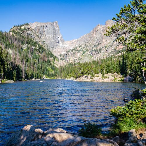
This scenic trail passes through aspen groves and pine forests, offering breathtaking views of Nymph Lake, Dream Lake, and finally, Emerald Lake. The trail follows Tyndall Creek and provides stunning vistas of Hallett and Flattop Mountains. Wildlife such as chipmunks and squirrels are common companions along the way.

Estes Cone Trail

Moderate6.1 mi

This trail offers a challenging climb through forests and rugged terrain, culminating in panoramic views of notable peaks like Twin Sisters and Longs Peak. The ascent involves steep sections and requires careful navigation, especially in inclement weather.

Fern Lake Trail

Fern Lake Trail

Moderate7.5 mi

The Fern Lake Trail, starting from the Fern Lake Trailhead in Moraine Park, takes you past The Pool and Fern Falls en route to Fern Lake. The trail continues to other beautiful destinations such as Spruce Lake and Odessa Lake. As you hike through the serene subalpine forest, you'll enjoy stunning alpine lake scenery and views of the surrounding peaks. This low-traffic route is perfect for those looking to explore multiple alpine lakes.

Longs Peak Trail

Longs Peak Trail

Extreme13.7 mi

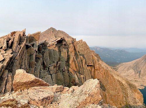
The journey begins with a steep ascent through forested terrain, then crosses the rugged Boulderfield. Beyond the Boulderfield, the Keyhole Route becomes a technical climb rather than a simple hike; it requires scrambling on steep, exposed rock with narrow ledges, loose rock, and sheer vertical faces where an unroped fall could be fatal. Key features along the route include the Boulderfield, the Keyhole, the Ledges, the Trough, the Narrows, and the Homestretch. Each section presents unique challenges that require careful route-finding, appropriate experience and equipment. The reward is a panoramic view from the summit, offering vistas of the surrounding peaks and landscapes.

Odessa Lake Trail

Odessa Lake Trail

Moderate8.5 mi

Passes through dense pine forests and open meadows, offering views of Longs Peak and surrounding mountains. The trail climbs toward Odessa Lake, passing through alpine terrain and arriving at the lake nestled among granite peaks. (The route is a less-crowded alternative to nearby Bear, Emerald, and Dream Lake trails and can be continued onward to Fern Lake.)

Sky Pond Trail

Sky Pond Trail

Difficult8.6 mi

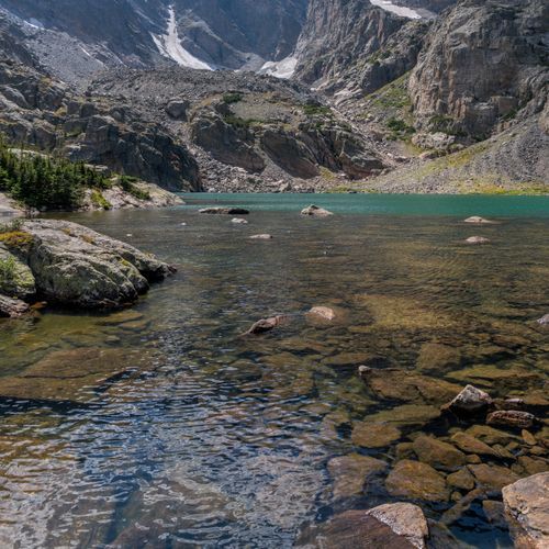
This trail offers breathtaking views of alpine lakes, waterfalls, and high mountain vistas. It features multiple waterfalls, including Timberline Falls, and passes by the serene Lake of Glass before reaching Sky Pond. The hike involves a challenging scramble up a waterfall and traverses rugged terrain with spectacular views of surrounding peaks.

Sprague Lake Trail

Sprague Lake Trail

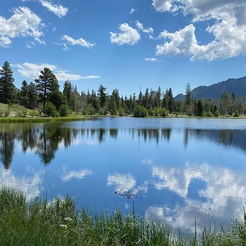
Easy0.8 mi

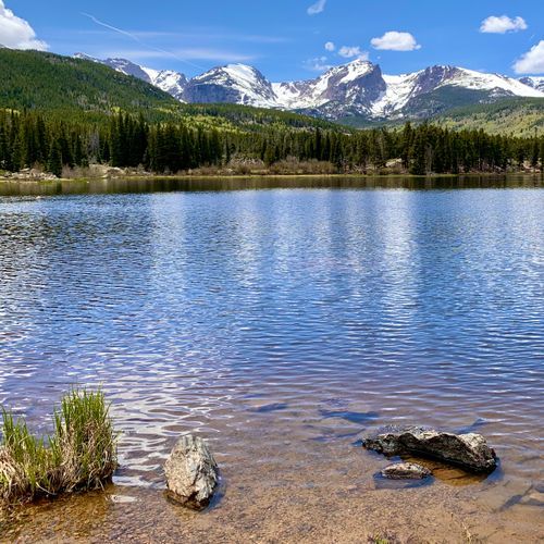
Sprague Lake Loop is a short, wheelchair- and stroller-accessible loop that circles a picturesque alpine lake and offers scenic views of the surrounding mountain peaks along the Continental Divide from the east shoreline. The trail includes benches and lookout points, a dock, a boardwalk and two small bridges. It’s a popular spot for wildlife viewing and birdwatching (sightings vary). Facilities at the parking area include picnic tables and year‑round vault toilets, with seasonal flush restrooms and a summer park shuttle stop.

Tundra Communities Trail

Tundra Communities Trail

Easy1.2 mi

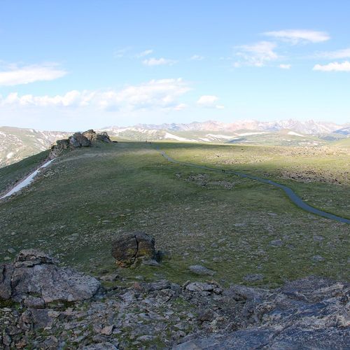
This trail traverses the alpine tundra, offering stunning views and insights into the fragile ecosystem. Interpretive signs guide visitors through the landscape, highlighting the unique plant life and wildlife such as marmots and pikas. A side trail leads to Mushroom Rocks, and the trail ends at a memorial dedicated to Roger Toll, with a geological marker providing information on surrounding peaks.

Bear Lake / Glacier Gorge Trail

Bear Lake / Glacier Gorge Trail

Easy0.8 mi

This trail offers a brief, easy hike near the base of several popular destinations. It provides access to scenic views and is a starting point for more extensive explorations in the area. The proximity to well-known lakes and the ease of the trail make it an attractive choice for those seeking a shorter adventure.

Bierstadt Lake Trail

Bierstadt Lake Trail

Moderate5.6 mi

This trail climbs through stands of aspen to the top of the Bierstadt Moraine, where hikers are rewarded with scenic mountain views, including Longs Peak and views toward Sprague Lake. Several routes converge at Bierstadt Lake, so hikers can approach it from different trailheads (many use the Bear Lake Trailhead or the shuttle-serviced Bierstadt parking area); when started from the Bierstadt Lake Trailhead the route is steep uphill. The lake sits on the moraine and provides picturesque vistas and opportunities for wildlife viewing.

Coyote Valley Trail

Coyote Valley Trail

Easy2.1 mi

Meander through a picturesque valley along the Colorado River, where wildlife abounds. The area is renowned for its prime elk and moose habitats, with frequent sightings near the river and surrounding wetlands. Additional wildlife includes deer, coyotes, beaver, hawks, and eagles. The trail offers sweeping views of the Never Summer Mountains and features interpretive signs detailing the natural and cultural history of the region. It is a level, accessible path that winds through meadows and stands of trees, providing rest stops and opportunities for fishing and wildlife viewing.

Deer Mountain Trail

Deer Mountain Trail

Difficult6 mi

This trail offers stunning views of Estes Park, Moraine Park, and the Continental Divide. It begins in a ponderosa pine forest and ascends through open meadows and switchbacks, culminating in a steep final ascent to the summit. Wildlife sightings are common, including deer and elk.

Flat Top Mountain Trail

Flat Top Mountain Trail

Difficult4.2 mi

Ascend through varied landscapes, from aspen groves to scrub pine and krummholz forests, before reaching a vast tundra plateau. Enjoy stunning views of Longs Peak, Hallett Peak, and the Mummy Range. The trail offers access to additional peaks like Hallett and Otis, providing a gateway to further exploration. Along the way, take in breathtaking vistas of Dream Lake and Emerald Lake, set amidst a backdrop of rugged mountain beauty.

Flattop Mountain Trail

Flattop Mountain Trail

Difficult8.4 mi

This trail offers a challenging ascent through diverse landscapes, culminating at the Continental Divide. Hikers experience a dramatic elevation change, with stunning views of surrounding mountains and valleys. The trail is a popular choice for those seeking a memorable mountain experience.

Gem Lake Trail

Gem Lake Trail

Moderate3.1 mi

This trail ascends through a forest and granite boulders, offering stunning views of Estes Park and Longs Peak. The lake itself is a unique basin filled by snowmelt and rainfall, with no inlet or outlet streams. The trail features interesting rock formations and is suitable for families despite its steep sections.

Glacier Gorge Trail

Glacier Gorge Trail

Difficult5.7 mi

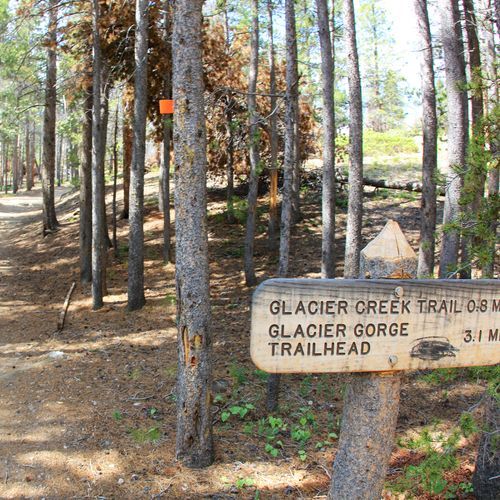
Glacier Gorge Trail winds through a dramatic landscape carved by glaciers, featuring cascading waterfalls, alpine lakes, and towering granite cliffs. The Glacier Gorge Trailhead is a gateway to popular destinations such as Alberta Falls, Mills Lake, and The Loch. Because this corridor is one of the park's most heavily visited areas year-round (the Glacier Gorge parking area often fills early), plan ahead and use Park & Ride/Bear Lake Shuttle or arrive early if you expect crowds.

Lake Haiyaha Trail

Lake Haiyaha Trail

Moderate3.8 mi

This trail offers breathtaking views of the Glacier Basin area, including Bear Lake and Nymph Lake. The hike culminates at Lake Haiyaha, nestled in Chaos Canyon, where hikers must navigate through large boulders to reach the lake's shores. The area is known for its ancient twisted pines and stunning mountain peaks like Otis and Hallett Peaks.

Sandbeach Lake Trail

Sandbeach Lake Trail

Difficult8.4 mi

This trail ascends through a montane pine forest and offers scenic views of the surrounding mountains. The destination, Sandbeach Lake, features a unique sandy beach and is nestled beneath the imposing Mount Meeker. The trail passes several backcountry campsites and offers opportunities for solitude amidst stunning mountain vistas.

Wild Basin Trail

Wild Basin Trail

Moderate3.3 mi

This trail winds through a dense forest, offering stunning views of waterfalls like Ouzel Falls and Calypso Cascades. It leads to serene alpine lakes such as Ouzel Lake and Bluebird Lake, providing a tranquil escape into nature. The trail's steady incline and scenic vistas make it a popular choice for hikers seeking a mix of natural beauty and solitude.

Alpine Ridge Trail

Easy0.3 mi

This short hike traverses alpine tundra, offering stunning views of the Never Summer Mountains and surrounding peaks. The trail features a variety of alpine wildflowers and is known for its steep incline despite its short distance. Educational signage along the path highlights the unique environment and conservation efforts.

Andrews Glacier Trail

Andrews Glacier Trail

Easy1 mi

This challenging hike leads to one of the park's few remaining glaciers, passing through stunning landscapes like Alberta Falls and The Loch. The trail features a mix of forested paths, boulder fields, and scenic views of The Sharkstooth and The Gash. Wildlife such as elk and marmots can often be spotted along the way.

Aspenglen Trail

Aspenglen Trail

Easy0.4 mi

This trail traverses through a forested area near the Aspenglen Campground, offering a serene hiking experience with opportunities to see wildlife such as elk and deer. The surrounding landscape includes a mix of Douglas fir, Lodgepole pine, and Ponderosa pine trees, providing both sun and shade along the path.

Baker Gulch Trail

Baker Gulch Trail

Easy0.5 mi

This trail winds through a diverse landscape of mixed conifers and open glades, offering opportunities to spot wildlife like moose. The route is challenging and requires preparation for its rugged terrain and elevation changes.

Balanced Rock Trail

Balanced Rock Trail

Easy1 mi

Circumnavigate a stunning rock formation, offering diverse perspectives and views of nearby landscapes. The trail is well-maintained, child-friendly, and provides an ideal spot for sunset photography.

Batman/Checkerboard Rock Climbing Access

Batman/Checkerboard Rock Climbing Access

Easy0.7 mi

This trail offers access to Batman Rock and Checkerboard Rock, providing stunning views and climbing opportunities amidst a picturesque landscape. The route is moderately challenging and popular among hikers and climbers alike.

Bear Lake-Bierstadt Trail

Bear Lake-Bierstadt Trail

Easy1.3 mi

This trail ascends through a lodgepole pine forest and an aspen grove, offering panoramic views of the surrounding mountains. The hike culminates at Bierstadt Lake, a tranquil spot surrounded by the Rocky Mountains. The trail is known for its vibrant fall colors and scenic vistas.

Black Lake Trail

Black Lake Trail

Moderate2.9 mi

Hike through pine groves and along streams to a subalpine lake, passing by waterfalls like Alberta Falls and Ribbon Falls. The trail offers stunning views of craggy peaks and diverse landscapes, making it a challenging yet rewarding experience.

Boulder Brook Trail

Boulder Brook Trail

Moderate1.6 mi

Follow Boulder Brook through a lush forest, featuring waterfalls and scenic views. The trail ascends steeply, offering stunning vistas of Longs Peak and the Continental Divide. It then descends via the North Longs Peak Trail, passing through diverse landscapes and wildlife habitats.

Boulder-Grand Pass trail (unmaintained)

Moderate1.4 mi

This trail offers breathtaking views of the alpine landscape as it traverses through Rocky Mountain National Park. Starting from the Wild Basin Trailhead, hikers pass by cascading waterfalls like Calypso Falls and Ouzel Falls before reaching Thunder Lake. The trail then becomes unmaintained, requiring route-finding skills to reach the Boulder-Grand Pass. The journey is steep and demanding, but the scenery is rewarding.

Cache la Poudre Trail

Difficult8.8 mi

Offers a serene journey along the Cache la Poudre River, Colorado's only nationally designated 'Wild and Scenic' river. The trail is known for its stunning river views, abundant wildlife, and wildflower displays in the spring and summer. The path meanders through a variety of landscapes, including dense forests, open meadows, and rocky outcrops. Hikers can enjoy the sounds of the rushing river, spot beavers, moose, and a variety of bird species, or simply take in the beauty of the surrounding mountain peaks. The trail is also popular for fishing, with the river teeming with trout.

Chapin Creek Trail

Chapin Creek Trail

Moderate1.3 mi

This trail traverses through a mix of terrain, providing scenic views of the surrounding landscape. It is a moderately challenging hike suitable for those looking to experience the natural beauty of the area.

Chapin Pass Trail

Difficult3.6 mi

This trail offers breathtaking views as it ascends to the summits of Mt. Chapin, Mt. Chiquita, and Mt. Ypsilon. The hike traverses through alpine tundra and rocky terrain, providing spectacular vistas of the surrounding mountains and valleys. The trailhead is accessible via Old Fall River Road, a scenic route within Rocky Mountain National Park.

Climbing Access, Sundance Buttress

Easy0.3 mi

This short trail provides access to Sundance Buttress, a prominent climbing spot known for its challenging routes like The Guillotine and Kor's Flake. The trail winds through scenic terrain, offering stunning views of the surrounding landscape.

Colorado River Trail

Colorado River Trail

Moderate3.7 mi

This trail parallels the Colorado River, offering serene views and opportunities to spot wildlife like elk and moose. The path is generally flat and shaded, making it a pleasant hike during warmer months. Historical remnants of old mining activities can be seen along the way.

Continental Divide National Scenic Trail - Rocky Mtn Park

Continental Divide National Scenic Trail - Rocky Mtn Park

Extreme40.6 mi

Winding through high-altitude landscapes, the trail offers stunning views of mountain lakes and streams set against a backdrop of towering peaks. Wildlife such as pika, moose, and elk are frequently spotted. The route traverses montane and sub-alpine ecosystems, featuring lodgepole pines and aromatic firs. It provides a glimpse into the region's unique biodiversity and natural beauty.

Cow Creek Trail

Moderate3.1 mi

This trail offers a serene journey through diverse landscapes, featuring meadows, forests, and the soothing sounds of Cow Creek. It connects to other trails, providing access to notable landmarks like Bridal Veil Falls. The trail's tranquil atmosphere and varied scenery make it a compelling choice for those seeking a less crowded experience.

Crystal Lake Trail

Difficult6.3 mi

Winds through dense forests and wildflower-filled meadows before reaching a stunning alpine lake. The lake, cradled in a high mountain cirque, offers breathtaking views of surrounding peaks. Along the way, hikers may spot a variety of wildlife, including marmots, pikas, and even bighorn sheep. The trail's high altitude and rugged terrain make it a challenging but rewarding adventure. The area's beauty and tranquility make it a must-see for nature lovers and photographers.

Cub Lake Trail

Cub Lake Trail

Moderate5 mi

From the Fern/Cub Lake trailhead, the Cub Lake Trail leads through montane forests, meadows, and wetland areas to Cub Lake. The route offers mountain views and opportunities for elk and other wildlife.

East Inlet Trail

East Inlet Trail

Difficult6.7 mi

This trail offers breathtaking views of alpine lakes and surrounding peaks. It passes through diverse landscapes, including meadows and forests, and is known for wildlife sightings such as moose. The trailhead is accessible near Grand Lake, making it a popular choice for backpacking and camping trips.

East Shore Trail

East Shore Trail

Easy2.1 mi

Winds along the eastern shore of Shadow Mountain Lake, offering panoramic views of the water and surrounding mountains. Known for its abundant wildlife, including moose, elk, and a variety of bird species. Wildflowers bloom in profusion during the spring and summer, adding a splash of color to the landscape. The trail is relatively flat, making it a good choice for families and less experienced hikers. In the winter, it's a popular spot for snowshoeing and cross-country skiing.

Eugena Mine Trail

Eugena Mine Trail

Easy1.3 mi

This trail offers a scenic walk through a lodgepole pine forest, leading to an old gold mine site with remnants of past mining activities. The forest environment provides a peaceful setting, while the mine relics offer a glimpse into the area's mining history.

Finch Lake - Pear Lake Trail

Finch Lake - Pear Lake Trail

Difficult12.8 mi

The Finch Lake - Pear Lake Trail offers a beautiful hike through a forested montane setting, leading you to two stunning alpine lakes. Hikers will enjoy established routes that wind through wooded terrain, making it a popular choice for both day hikes and overnight trips. Remember to practice Leave No Trace principles, as campfires are prohibited at these sites. Utilize portable stoves and bear-resistant food storage from April 1 to October 31.

Finch Lake Cutoff Trail

Moderate8.4 mi

Finch Lake Cutoff Trail is a short connector within the park's hiking network near the Finch Lake Trailhead (approx. 8,470 ft). The trail provides access to the Finch Lake area and adjacent routes and travels through forested terrain. Visitors should follow Leave No Trace principles; campfires are prohibited at Finch Lake and carry-in/carry-out bear-resistant food storage is required April 1–October 31.

Haynach Lake Trail

Haynach Lake Trail

Moderate1.8 mi

Climb through a narrow drainage to Big Meadows, where moose and wildflowers abound. The trail follows Tonahutu Creek, passing Granite Falls, before ascending to a series of alpine meadows. These meadows, dotted with small ponds, lead to the serene Haynach Lakes, surrounded by boulder fields and offering stunning views of the surrounding peaks. The area is rich in wildlife, including pikas and large trout.

Hidden Valley Trail

Hidden Valley Trail

Easy0.4 mi

This short loop hike offers an introduction to the park's iconic Joshua trees and unique rock formations. The trail is easy and suitable for families, with educational signs about local flora and fauna. Visitors can enjoy the scenic views and possibly spot wildlife like rattlesnakes.

Hollowell Park Trail

Easy1.1 mi

Enjoy a scenic loop with excellent views of Mill Creek Basin below Longs Peak. The trail offers picnic areas and is a relaxing destination within a beautiful natural setting.

Lake Helene Trail

Lake Helene Trail

Easy0.3 mi

Begin at Bear Lake and ascend through aspen groves and dense pine forests, offering spectacular views of Longs Peak and surrounding summits. The trail passes through sub-alpine meadows and boulder fields, eventually reaching a serene alpine lake. Notchtop Mountain dominates the northern horizon, while Knobtop and Flattop Mountains frame the scenic landscape. Wildlife viewing opportunities abound, making this route ideal for nature enthusiasts and photographers.

Lake Irene Trail

Lake Irene Trail

Easy1.6 mi

This trail offers a peaceful stroll around a picturesque lake, providing opportunities to enjoy wildflowers and subalpine trees like Engelmann spruce. The area is ideal for family outings and picnics, with nearby amenities and scenic overlooks offering views of meadows and distant mountains.

Lake Nanita Trail

Extreme20.4 mi

Lake Nanita Trail offers scenic views and a tranquil hiking experience. It's a beautiful trek that leads you through the stunning landscapes of Rocky Mountain National Park, showcasing the area's natural beauty. Enjoy the diverse flora and fauna as you explore this peaceful trail.

Lake of the Clouds

Lake of the Clouds

Easy1.3 mi

This trail offers a tranquil experience amidst the natural beauty of the alpine environment. However, specific details about the trail's features and attractions are not available due to discrepancies in the provided data.

Lawn Lake Trail

Lawn Lake Trail

Difficult12.6 mi

This trail follows the Roaring River through a mixed forest of pine and aspen, offering scenic views of the surrounding mountains. The path is marked by remnants of the 1982 Lawn Lake Flood and leads to a picturesque subalpine lake. Wildlife such as moose and elk can be spotted along the way.

Lily Mountain Trail

Moderate1.9 mi

This trail offers stunning views of nearby peaks like Longs Peak and Twin Sisters. It begins with a gentle slope before ascending steeply through a dense evergreen forest. The final scramble to the summit provides breathtaking 360-degree views.

Lion Lake Trail

Lion Lake Trail

Moderate2.1 mi

This trail offers breathtaking views of alpine landscapes, passing by several waterfalls including Copeland Falls, Calypso Cascades, and Ouzel Falls. Hikers can enjoy diverse wildlife such as elk, deer, and moose, amidst beautiful meadows filled with wildflowers. The trail's remote location often requires an overnight stay at one of the park's backcountry campsites.

Little Horseshoe Park Trail

Little Horseshoe Park Trail

Moderate2.9 mi

Meander through a stand of mature ponderosa pine and into a broad grassy meadow, offering stunning views of mountains like Mt. Chapin and Ypsilon Mountain. This trail is known for its diverse wildlife, including elk and mule deer, and a variety of bird species. Wildflowers are plentiful during the late spring and early summer.

Little Yellowstone

Little Yellowstone

Easy1.7 mi

This trail passes through a unique volcanic rock canyon, offering a scenic hike with views of the surrounding landscape. The area is known for its geological features and diverse wildlife.

Lower Lawn Lake Trail

Lower Lawn Lake Trail

Easy0.2 mi

Venture through a landscape of dense forests, lush alpine meadows, and rugged mountain terrain. The journey culminates at a picturesque subalpine lake, offering breathtaking views of the surrounding peaks. Along the way, hikers may encounter a variety of wildlife, including elk, mule deer, and a plethora of bird species. The trail also passes through the site of the 1982 Lawn Lake Flood, providing a glimpse into the park's geological history and the power of its natural forces. Despite the trail's challenging nature, the diverse scenery and abundant wildlife make it a rewarding experience.

MacGregor Falls Trail

MacGregor Falls Trail

Easy0.9 mi

This lesser-known trail winds through old ranch land meadows and alongside the captivating Lumpy Ridge rock formations, offering views of Longs Peak. The hike transitions into stands of Ponderosa pine and eventually leads to a unique slab waterfall. The area is rich in wildlife and scenic beauty, with aspen trees and mountain vistas.

Moraine Park Nature Trail

Moraine Park Nature Trail

Easy0.1 mi

This trail offers a gentle stroll through a variety of natural habitats, providing insights into the local flora and fauna. It's an ideal choice for those seeking a short, easy hike with scenic views.

Moraine Park Trail

Moraine Park Trail

Easy3.2 mi

Wander through a lush meadow carved by ancient glaciers, surrounded by towering mountain peaks. The trail offers stunning views of wildlife, including elk and deer, amidst a backdrop of wildflowers and the serene Big Thompson River. It's a haven for nature lovers and photographers alike.

Mount Ida Trail

Mount Ida Trail

Moderate4.1 mi

This trail offers breathtaking panoramic views as it traverses along the Continental Divide. Starting from Milner Pass, it climbs through subalpine forests before emerging into expansive tundra landscapes. The summit provides stunning 360-degree views of surrounding mountains and lakes. Wildlife such as bighorn sheep and elk can be spotted along the way.

Mt Ida Route (alternate)

Easy0.8 mi

This trail offers breathtaking views of the Never Summer Mountains and the surrounding landscape. It traverses through alpine tundra, providing opportunities to spot wildlife like bighorn sheep and elk. The hike is challenging due to its rugged terrain and exposure to elements, but the views from the summit are unparalleled.

Mummy Pass Trail

Mummy Pass Trail

Extreme10.6 mi

This trail offers breathtaking views as it traverses from the Comanche Peak Wilderness into Rocky Mountain National Park. It provides access to Mirror Lake and Comanche Peak, featuring diverse landscapes and challenging terrain.

North Fork Trail

Difficult4.8 mi

This trail offers a moderate hike through a diverse forest landscape, featuring dirt paths and scenic views. The trail's moderate difficulty makes it suitable for a wide range of hikers, though specific features and attractions are not detailed in the provided sources.

North Inlet Junction Privy

Easy0.1 mi

Located near the North Inlet Junction, this area offers access to a privy and serves as a point of interest for hikers exploring the surrounding trails. The nearby North Inlet Trail offers stunning views and access to various lakes and waterfalls.

North Longs Peak Trail

North Longs Peak Trail

Difficult5.4 mi

This trail offers stunning views of the surrounding granite peaks and alpine landscapes. While details are sparse, it likely connects with other trails in the area, providing access to unique geological formations and diverse wildlife habitats.

Old Ute Trail

Old Ute Trail

Easy0.6 mi

Experience the alpine tundra, where dense turfs of sedges and grasses support a variety of wildlife, including pikas and marmots. Enjoy panoramic views of surrounding mountains and valleys, with the trail offering a glimpse into the historical routes used by Native American tribes.

Onahu Creek Trail

Difficult5.7 mi

This trail offers scenic views of meadows and forests, with opportunities to spot wildlife like moose and elk. It follows Onahu Creek, passing through areas affected by the pine beetle infestation and offering access to several backcountry campsites. The trail connects to other routes, forming a loop that includes Big Meadows and offers stunning mountain vistas.

Ouzel Falls Viewpoint

Ouzel Falls Viewpoint

Moderate5.3 mi

This trail offers a picturesque journey through a montane ecosystem, featuring wildflowers, forested areas, and the impressive Ouzel Falls. Along the way, hikers can also visit Copeland Falls and Calypso Cascades, enjoying views of surrounding mountains like Longs Peak and Mt. Meeker.

Ouzel Lake Trail

Ouzel Lake Trail

Moderate3.7 mi

This trail ascends through a forested valley, passing notable waterfalls such as Copeland Falls and Calypso Cascades before reaching Ouzel Falls. The path continues through areas affected by the 1978 Ouzel Fire, offering expansive views of surrounding mountains. The serene Ouzel Lake is a prime destination for fly-fishing and offers campsites for overnight stays.

Pear Climbing Access

Easy0.5 mi

This short dirt path offers a gentle hike with minimal elevation change. It is not associated with any prominent features or landmarks found in the national parks mentioned.

Saint Vrain Mountain Summit Route

Saint Vrain Mountain Summit Route

Moderate1.2 mi

This trail ascends through a forested gulch, transitioning into alpine tundra with wildflowers. The summit offers expansive views of surrounding peaks like Long's and Audubon. The hike involves a steep climb and rocky terrain, with sections above treeline providing no shelter from weather.

Shadow Mountain Lookout trail

Moderate3.3 mi

This hike offers expansive views of the Grand Lake area, starting through a sagebrush meadow and alongside Shadow Mountain Lake. The trail climbs through a lodgepole forest, featuring switchbacks and scenic rock formations. At the summit, enjoy panoramic views of the Never Summer Mountains and the Continental Divide, though the lookout itself is not accessible[1][2].

Shelf and Solitude Route

Easy0.7 mi

Hidden high above Glacier Gorge, these alpine lakes are accessible via unmaintained trails, requiring experienced hikers with strong navigation skills. The route passes by Alberta Falls, Mills Lake, and Shelf Creek Falls, offering stunning views of Longs Peak and the Keyboard of the Winds. The final ascent is steep and challenging, but rewards hikers with vibrant alpine wildflowers and cascading waterfalls. The lakes are surrounded by majestic peaks such as Thatchtop and Arrowhead, providing a serene and isolated experience amidst the rugged beauty of the Rockies.

South Lateral Moraine Trail

South Lateral Moraine Trail

Easy2.2 mi

This trail offers a unique opportunity to explore the remnants of glacial activity, with scenic views of surrounding landscapes. The path traverses varied terrain, providing insights into the geological history of the region. It is a moderate hike suitable for those interested in both nature and geology.

Spruce Lake Trail

Spruce Lake Trail

Moderate1.4 mi

Pass through a mixed forest of aspens and pines, featuring wildflowers and waterfalls. The trail follows the Big Thompson River and offers views of the valley. Highlights include Arch Rocks and Fern Falls. The area is known for its historic significance and diverse wildlife.

Storm Pass Trail

Storm Pass Trail

Extreme7.4 mi

This trail offers panoramic views of Longs Peak and the surrounding mountains. It begins at Lily Lake and ascends through forested terrain, providing occasional glimpses of the peaks. The trail is known for its scenic vistas and challenging climbs, making it a rewarding hike for those seeking a mix of natural beauty and physical challenge.

Stormy Peaks Trail

Stormy Peaks Trail

Extreme10.3 mi

This challenging hike ascends through a forest of lodgepole pines into alpine tundra, offering breathtaking views of snow-capped peaks and lush woodlands. The trail features dispersed backcountry campsites and requires careful navigation due to its steep and exposed terrain.

Thunder Lake Trail

Thunder Lake Trail

Difficult12.9 mi

This trail traverses a subalpine forest, passes by Copeland Falls and continues along North St. Vrain Creek. It offers mountain views and access to several backcountry campsites. The trail culminates at Thunder Lake, a picturesque alpine lake in the Wild Basin area of the park.

Thunder Pass Trail

Difficult2.8 mi

This trail offers a challenging hike through diverse landscapes, including alpine tundra and meadows. It connects State Forest State Park and Rocky Mountain National Park, providing stunning views of the surrounding mountains.

Timber Lake Trail

Timber Lake Trail

Difficult10.2 mi

This trail winds through lush forests, crosses cascading streams, and opens up into beautiful mountain meadows. It offers stunning views of the Never Summer Mountains and culminates at a picturesque alpine lake, perfect for those seeking a peaceful retreat.

Tonahutu Creek Trail

Tonahutu Creek Trail

Extreme13.6 mi

This trail offers a diverse landscape of alpine meadows, forests, and high-altitude lakes. It passes by Granite Falls, a popular day hike destination, and continues to Haynach Lake, providing stunning views of the surrounding mountains. The trail also traverses areas affected by past wildfires, showcasing nature's resilience.

Twin Owls Climbing Access West

Moderate0.4 mi

This trail provides access to the Twin Owls, a notable rock formation known for challenging climbs and scenic views. The area is popular among rock climbers due to its unique formations and variety of routes.

Twin Sisters Trail

Twin Sisters Trail

Moderate7.5 mi

This hike offers expansive views of Longs Peak and the surrounding mountains. It begins in montane forest (lodgepole pine and aspen), ascending through switchbacks to an alpine boulder field near the treeline. The trail includes rocky sections and finishes with a short scramble to the Twin Sisters summit, providing panoramic views of the eastern plains and Rocky Mountain National Park. The route also crosses between Rocky Mountain National Park and the Roosevelt National Forest.

Upper Beaver Meadows Trail

Upper Beaver Meadows Trail

Extreme6.7 mi

This loop traverses through large meadows and forests, offering panoramic views of Moraine Park and Longs Peak. The trail passes through areas affected by wildfires, providing unique vistas. It is a popular spot for bird-watching and observing wildlife like elk.

Ute Trail

Ute Trail

Moderate4.6 mi

Hike through exposed alpine tundra, offering panoramic views of the Never Summer Mountains and the Cache la Poudre river valley. The trail descends from the alpine environment into subalpine forests, providing a diverse range of ecosystems and wildlife viewing opportunities.

Valley Trail

Valley Trail

Easy2.6 mi

This trail offers a mix of landscapes, traversing through diverse terrains with scenic views. It provides a moderate challenge suitable for hikers looking to explore varied natural settings.

West Creek Falls Trail

Easy0.7 mi

This hike offers a scenic journey to a picturesque waterfall, traversing through diverse landscapes typical of the region. The trail is a popular choice for those seeking a moderately challenging hike with rewarding views.

Wind River Trail

Easy2.2 mi

This trail winds through dense pine forests and aspens, past meadows, and along a gurgling alpine creek. It offers stunning views of surrounding peaks and is a great escape into the wilderness, suitable for older children and those seeking a secluded hike.

Ypsilon Lake Trail

Ypsilon Lake Trail

Difficult9.5 mi

This trail ascends through a dense pine forest, offering views of surrounding mountains like Deer Mountain and Longs Peak. It passes by the remains of the Lawn Lake dam failure and crosses the Roaring River. The hike culminates at Ypsilon Lake, where hikers can enjoy reflections of Ypsilon Mountain in nearby Chipmunk Lake and explore the tiered Ypsilon Falls.

Ypsilon Summit Route

Ypsilon Summit Route

Difficult7.4 mi

Climb through rugged terrain to reach three sequential summits, offering breathtaking views of the surrounding mountains. The route traverses talus slopes and grassy tundra, providing a challenging yet rewarding experience. From the summits, enjoy commanding views of Longs Peak, the Never Summer Mountains, and the Poudre River Valley. Spectacle Lakes and other alpine lakes are visible from the highest peak, adding to the scenic beauty of this challenging hike.

Beaver Mountain Trail

Difficult5.6 mi

This trail offers a serene journey through a forested area, featuring diverse wildlife and scenic views. It is suitable for hikers looking for a moderately challenging experience with opportunities to observe natural beauty.

Beaver Ponds

Easy0.1 mi

This trail offers a mix of forested and open landscapes, providing habitat for elk, deer, and various bird species. The scenic route includes several beaver ponds, though beavers are rarely seen. The hike is known for its wildlife viewing opportunities and offers expansive views of the surrounding mountains and valleys.

Black Canyon Trail

Extreme9.5 mi

No description available

Box-Eagle Lakes Route

Easy1.1 mi

Chiquita Mountain Bypass

Easy0.8 mi

Cony Lake Trail

Moderate2.1 mi
Cub Lake-Mill Creek Basin Trail

Cub Lake-Mill Creek Basin Trail

Difficult4 mi

This trail winds through a serene forest, offering scenic views around Cub Lake and the tranquil Mill Creek Basin. The area is known for its diverse wildlife and picturesque landscapes, making it a popular choice for nature lovers and those seeking a peaceful hike.

Ditch Road

Moderate2.7 mi

This trail offers a scenic loop around Grand Lake, featuring varied terrain and scenic views of the surrounding landscape. It provides a challenging yet rewarding hike with opportunities to enjoy the local flora and fauna.

Glacier Creek Trail

Extreme7.8 mi

No description available

Grand Ditch Trail

Difficult15 mi

Jim's Grove Trail

Easy1.2 mi

Left Book Climbing Access

Easy0.2 mi

This short trail provides access to the popular Lumpy Ridge climbing area, known for its granite formations and scenic views. It serves as a gateway for climbers to reach various routes, including those on The Book and Sundance.

Marmot Point Hiking Trail

Easy0.4 mi

Ascend through alpine tundra to a summit offering 360-degree vistas of the surrounding mountains. This trail is notable for its steep incline and abundant wildlife, including marmots and elk. The scenic views make it a rewarding hike despite its short length.

"The Saddle" trail

Moderate1.3 mi

This trail offers a gentle hike suitable for families, winding through diverse landscapes that showcase the park's natural beauty. The trail's easy grade makes it accessible to a wide range of hikers, providing an enjoyable experience for those seeking a leisurely outdoor adventure.

Babcock Drive

Easy0.2 mi

No description available

Bear Lake Stock Trail

Bear Lake Stock Trail

Easy0.1 mi

This trail offers a chance to experience diverse natural environments. However, specific details about its features and attractions are not available due to the lack of information about a trail named 'Bear Lake Stock Trail' in the provided sources.

Book Area Climbing Access

Easy0.5 mi

This trail provides easy access to climbing areas, offering a straightforward dirt path suitable for hikers of all skill levels. The short distance makes it an ideal choice for those seeking quick access to climbing spots without extensive hiking.

CRD Admin Trail

Easy0.3 mi

This short trail offers a gentle walk through a forested area, providing an easy and accessible experience for visitors. The trail's short length and minimal elevation change make it suitable for those looking for a brief, leisurely hike.

Comanche Peak Trail

Moderate3.4 mi

Hike through dense forests of ponderosa pine and spruce-fir, leading to alpine tundra. The trail offers stunning views of the surrounding mountain ranges and access to lakes like Browns Lake and Comanche Lake. Wildlife abounds, including elk, moose, and mountain lions.

Dark Mountain Trail

Easy0.1 mi

This trail offers a scenic hike through a forested area, providing opportunities to observe local flora and fauna. The trail's proximity to Estes Park makes it a convenient option for those visiting the region.

Discovery Center Trail

Easy0.1 mi

This short trail provides an introduction to the local flora and fauna, offering a quick and accessible hike suitable for families and beginners. It features a gentle terrain that allows visitors to appreciate the natural surroundings without extensive physical exertion.

Hidden Falls

Easy0.8 mi

This trail features a picturesque waterfall set amidst a forested area, offering a serene hiking experience. The trail's short length makes it accessible for a variety of visitors.

Horse Trail

Easy0.1 mi

This trail offers a peaceful journey through a forested area, providing a tranquil experience for riders. The easy terrain makes it suitable for beginners or those seeking a leisurely ride.

Husted Trail

Moderate3 mi

This trail offers stunning alpine views, particularly towards unofficially named 13,000-foot peaks and the permanent snowfield of Icefield Pass. It involves cross-country travel with no established trail, requiring hikers to navigate through fragile tundra.

Lens Rock Climbing Access

Easy0.1 mi

This short trail offers a straightforward dirt path to a scenic overlook. It's suitable for families and beginners due to its easy terrain and minimal elevation change. The trail provides a quick escape into nature with minimal physical demands.

Livery Tr ail

Easy0.6 mi

This trail offers a serene hike through varied terrain, providing opportunities to observe local flora and fauna. The gentle slope makes it accessible for a wide range of hikers, offering a peaceful experience amidst nature.

Livery Trail

Easy1 mi

This trail offers a brief yet scenic journey, suitable for those seeking a short hike with minimal elevation change. The surroundings provide a glimpse into the park's diverse landscapes, though specific features may vary.

Long Meadows Trail

Easy0.6 mi

This trail offers a tranquil loop through a picturesque meadow, providing opportunities for spotting wildlife. It is less frequented than other trails, making it a peaceful escape from the crowds.

Mirror Lake Trail

Easy1.6 mi

Meander through Tenaya Valley, surrounded by iconic granite domes like Half Dome and North Dome. This trail is particularly popular for its serene views and accessibility, making it a favorite among photographers and families. The area transforms seasonally, from a peaceful lake in spring to a serene meadow in late summer.

Moraine Tuxedo Cutoff Trail

Easy1.5 mi

This trail offers a tranquil journey through a mix of forest and meadow, providing a peaceful alternative route for hikers. It connects key areas of the park, allowing visitors to enjoy diverse landscapes without the need for longer, more demanding trails.

North Boundary Trail

Difficult4.6 mi

This trail offers a moderate hike through varied landscapes, providing opportunities to experience nature's beauty. The trail's features and exact route details are not well-documented in available sources.

Old Entrance Livery Trails

Easy0.5 mi

This trail offers a gentle hike suitable for families and beginners, allowing visitors to enjoy the natural beauty of the park's surroundings without extensive elevation changes. The trail is accessible by foot and horse, providing a versatile experience for different types of explorers.

Red Mountain Trail

Moderate2.7 mi

Hike into the exposed core of an ancient volcano, offering panoramic views of the surrounding landscape. The trail features unique geological formations, including erosional pillars similar to those found in Bryce Canyon. It provides a rare opportunity to explore the interior of a volcanic structure.

River Trail

Easy1.2 mi

This trail offers a peaceful journey along a river, providing a tranquil escape into nature. The surrounding landscape is rich in biodiversity, making it a haven for wildlife and nature enthusiasts alike.

Sandbeach Lake Campsite access

Sandbeach Lake Campsite access

Moderate1 mi

This trail leads to a unique mountain lake featuring a sandy beach, a rare sight in the high mountains. The hike offers scenic views of the surrounding peaks, including Mount Meeker, and provides access to several backcountry campsites. The trail is moderately challenging, with a gradual elevation gain through a forested area.

Serenity Lane

Easy0.2 mi

Sheep Rock Trail

Easy0.1 mi

This trail offers a short, easy hike through historic fields and orchards, leading to an overlook with stunning views of the river valley. The trail starts near the historic Cant Ranch and features a dedication to Thomas Condon, highlighting the area's rich geological and historical significance.

Signal Mountain Trail

Moderate3.5 mi

This trail offers a scenic hike through lodgepole pine forests, culminating in stunning views of the Teton Range, Jackson Lake, and Jackson Hole from Jackson Point Overlook. Wildlife such as moose and black bears can be spotted along the way, and the trail includes a loop option with varying landscapes.

Skeleton Gultch Trail

Easy1.2 mi

No description available

Specimen Ditch Trail

Easy1.6 mi

This trail traverses a picturesque spruce-fir forest on the northwestern flank of Specimen Mountain. It offers a serene and less crowded hiking experience, providing stunning views of the surrounding landscape.

Sprague Lake Stable Trail

Easy0.2 mi

Surrounded by the majestic Rocky Mountains, this trail offers a peaceful walk around a picturesque lake. It is renowned for its accessibility and stunning views, making it ideal for spotting wildlife such as elk and moose. The trail features a mix of forest and marshland, offering diverse habitats for birds and small mammals.

Summit Loop Trail

Easy1.4 mi

This loop trail traverses diverse landscapes, though specific details are not available from the provided sources. Generally, loop trails offer a mix of terrain and scenery, making them appealing for hikers seeking a comprehensive experience.

Timber Creek Cmpgnd-Beaver Ponds Picnic Area Trail

Easy0.6 mi

This trail offers a gentle journey through varied landscapes, though it does not align with any prominent trails in Yellowstone National Park. The actual Beaver Ponds Trail in Yellowstone features sagebrush meadows and stands of trees, with potential wildlife sightings.

Tuxedo Park Trail

Easy0.1 mi

This short trail offers a gentle stroll through natural scenery, suitable for casual hikers looking for a brief outdoor experience.

Wind River Pass Trail

Easy0.5 mi

This trail offers a brief, easy hike suitable for all skill levels. It features a gentle elevation change, making it accessible for those looking for a quick, scenic walk in a beautiful mountain setting.

Get offline trail maps and detailed hiking info in the Parka app

Download Parka — It's Free

Get offline trail maps for Rocky Mountain National Park

Free on the App Store

Get Parka

Why Park Lovers Choose Parka

Trip Planner

All the tools for epic adventures

Works Offline

Fully functional without cell service

Updated Weekly

Trail conditions, alerts, and closures

Try Risk-Free

7-day free trial, cancel anytime

Start Your 7-Day Free Trial

Unlock everything you need for your next national park trip. Your first week is on us!

National Park vista

Start your adventure today

Download Parka and plan your perfect national park trip in minutes.