Arches National Park guide · 2 min read
From 1929 Monument to 1971 National Park
President Herbert Hoover made the area a national monument in 1929, guarding its sandstone formations from its arches and spires to its balanced rocks.
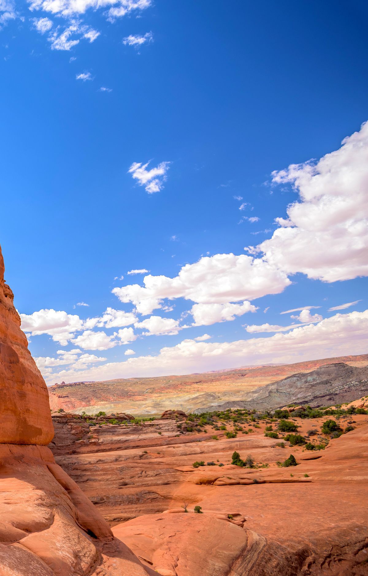
Congress upgraded it to a national park in 1971. Today the park covers roughly 77,000 acres about 4 miles north of Moab, Utah, alongside the Colorado River.
A prospector set the process in motion. Alexander Ringhoffer had come across the scenic land in 1922 and then contacted the Denver and Rio Grande Western Railroad, hoping to draw attention and support for a national park. Frank Wadleigh, the railroad's passenger traffic manager, visited the site in September 1923 with railroad photographer George Beam. Railroad leaders saw the formations as a way to lure riders, and government research teams were sent to look into the area.
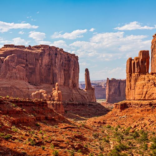
Stacked layers preserve a geologic record that spans millions of years, built up and then worn down over time. The land sits in high desert, with elevations from 4,085 feet to 5,653 feet above sea level. Within it, the park holds over 2,000 sandstone arches, along with hundreds of tall pinnacles, long fins of rock, and huge balanced rocks. Erosion across those layers also affects soil chemistry and the paths rainwater follows.
People have lived in this region since the end of the last ice age, about 10,000 years ago. Fremont people and Ancestral Puebloans lived in the area until roughly 700 years ago. When Spanish missionaries passed through in 1775, Ute and Paiute tribes were living there, and Ute petroglyphs can still be seen along the Delicate Arch trail. Moab was settled in the late 1870s by ranchers, farmers, and prospectors, and word of the rock formations spread as a possible tourist destination.
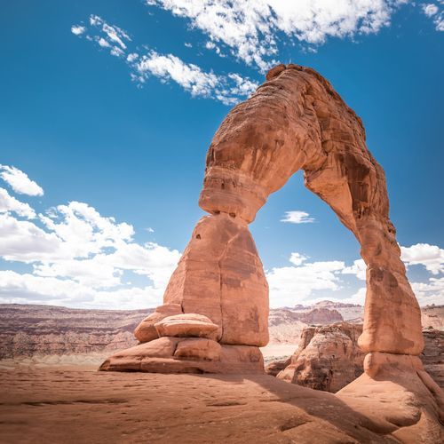
Delicate Arch stands with the La Sal Mountains rising in the background. Trails lead through the park, and hikers can follow them to the arch itself.