
Zion National Park, located in southwestern Utah, is a sanctuary of massive sandstone cliffs soaring into the sky, narrow slot canyons, and diverse ecosystems. This park showcases the beauty and power of natural forces through its iconic sculpted rock formations, created by millions of years of sedimentation, uplift, and erosion.
The region's unique geography makes it a crossroads of the Colorado Plateau, Great Basin, and Mojave Desert, contributing to its incredible biodiversity. The Virgin River, which has carved Zion Canyon over millions of years, remains one of the park's primary forces shaping the landscape. This river not only sculpts sweeping vistas but provides a vital water source that supports the array of life within the park.
Zion National Park is also a site with a rich tapestry of human history. Ancient native peoples, including the Basketmaker Ancestral Puebloans and later the Southern Paiute tribes, have left marks on the park, from rock art to seasonal habitation sites. Early Mormon settlers, who were awed by the majesty of the park's landscapes, named it Zion, signifying a place of peace and refuge.
Hiking in Zion offers a range of experiences from easy walks along the Riverside Walk, leading to the Narrows, where the walls are so close you can touch both sides. More ambitious hikers can tackle Angels Landing, known for breathtaking views at the summit, secured by chains bolted into the cliffside. Other notable sites include the Emerald Pools with their waterfalls and lush vegetation, and the Kolob Canyons section, featuring high crags and secluded trails.
Wildlife enthusiasts can spot mule deer, golden eagles, and the California Condor. The park's elevation and isolated environment make it an ideal spot for stargazing, especially during the new moon. Zion National Park's captivating scenery and deep history offer endless exploration, a testament to the power of natural forces that sculpt and shape the earth.
Zion National Park
Utah
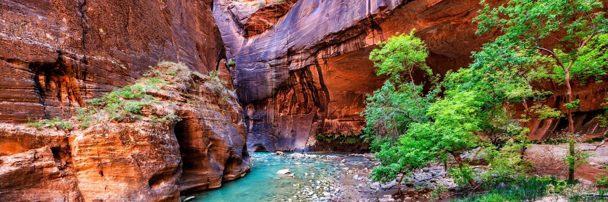
Utah
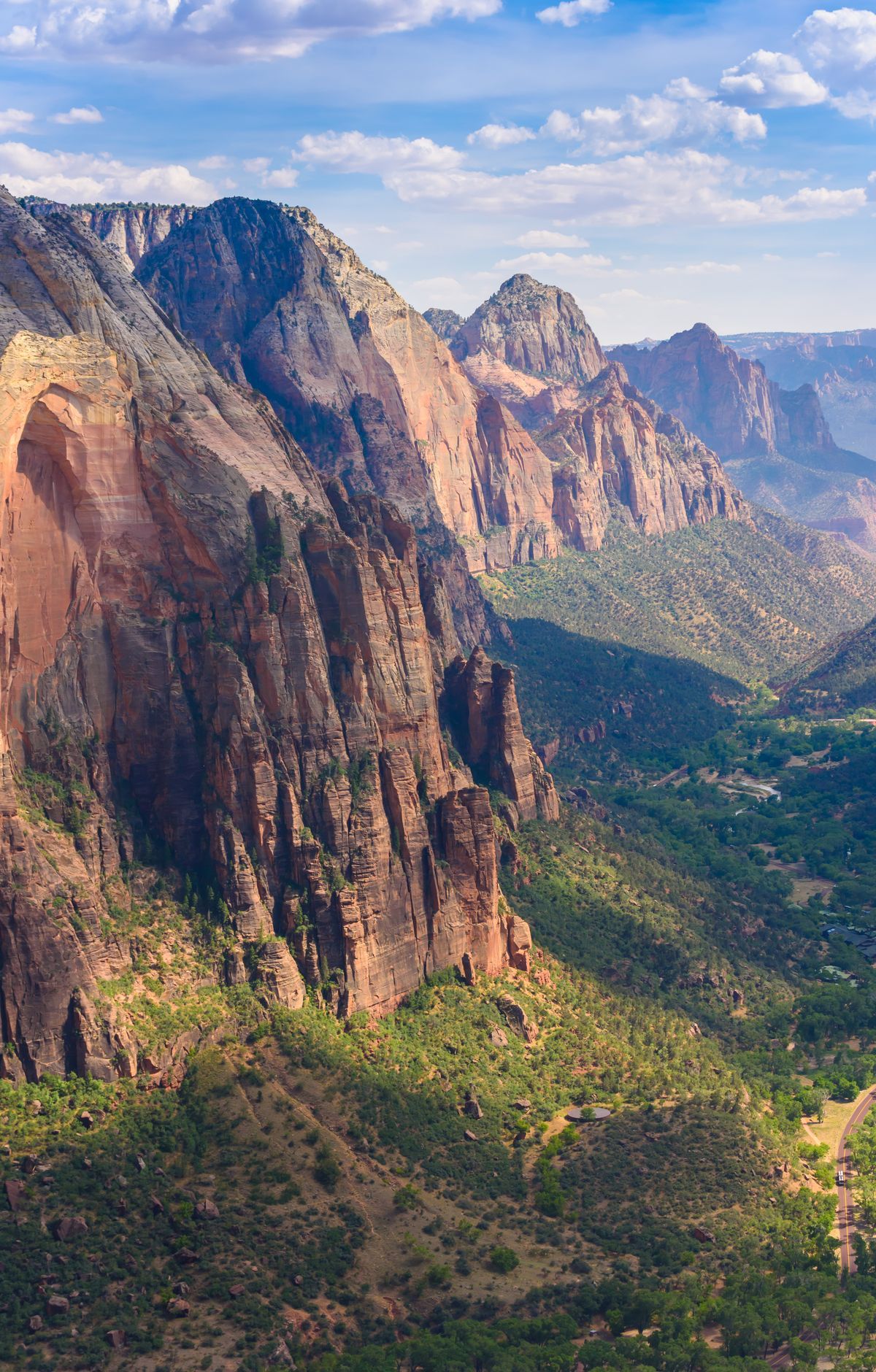
Cliffs of cream, pink, and red Navajo sandstone rise above a maze of deep canyons in southwestern Utah, where Zion National Park sits at the meeting point of the Colorado Plateau, Great Basin, and Mojave Desert. That mix of life zones supports unusual diversity, including 289 bird species and 19 kinds of bats. Most visitors hike trails in Zion Canyon, many reached by shuttle, and two routes draw particular attention: Angels Landing, which requires a lottery permit, and The Narrows. Technical canyoneers use ropes and harnesses to descend tight slot canyons. Beyond the main canyon, visitors can drive the Zion-Mount Carmel Highway, explore the Kolob Canyons section, join ranger programs, or go stargazing.
Park Areas
All areas →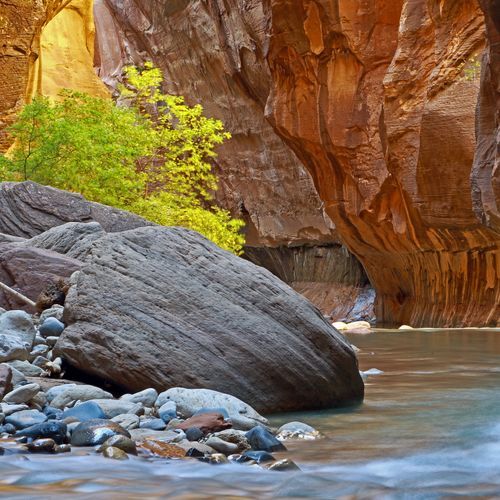
Zion Canyon
On the canyon floor, visitors look up at cream, pink and red sandstone cliffs as the Virgin River winds between them. Zion Canyon Scenic Drive runs about 8 miles from the visitor center to the Temple of Sinawava, and the park shuttle stops at trailheads, Zion Lodge and viewpoints along the route. Hiking draws most visitors. Angels Landing ends on a narrow ridge with chain-assisted scrambling high above the valley, and The Narrows heads upstream from Riverside Walk through a slot canyon where hikers wade the river. The Emerald Pools trails start at Zion Lodge. The paved Pa'rus Trail follows the river and is the only trail in the park open to pets and bicycles, while the strenuous trail to Observation Point overlooks the canyon.
East Rim
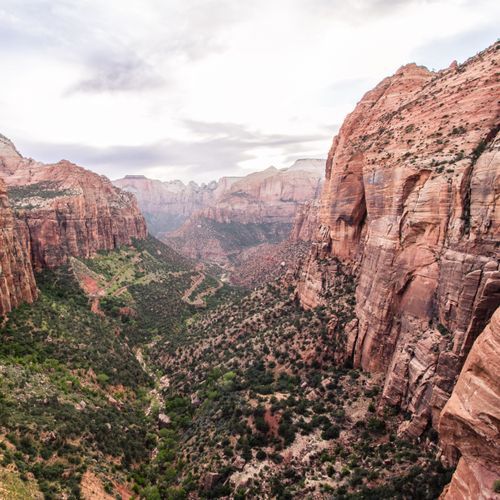
The East Rim is a high plateau of slickrock and ponderosa forest, reached by the East Rim Trail from a trailhead just west of the East Entrance on the Zion-Mount Carmel Highway. Hiking starts with a 1,000-foot climb onto the rim, with views over the east side slickrock and into Jolley Gulch before the path enters the pines. About 5.9 miles in, it reaches Stave Spring, an unreliable water source near the junction with trails to Cable Mountain and Deertrap Mountain. Past the junction, the trail opens onto the Echo Canyon basin and drops into Echo Canyon toward Observation Point, which looks down the length of Zion Canyon. With no established campsites, backpackers need an overnight permit and must camp at least a quarter mile from the spring.
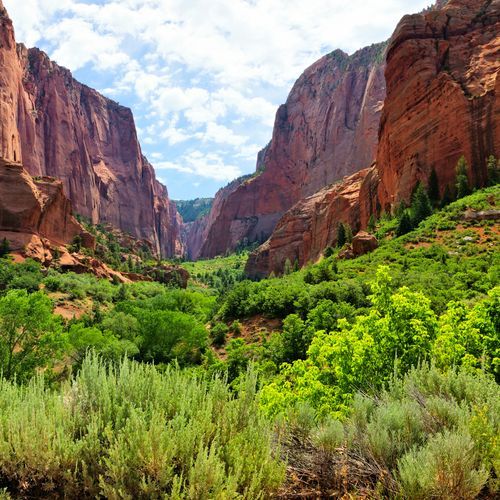
Kolob Canyons
Narrow, parallel box canyons slice into the western edge of the Colorado Plateau in this quiet, remote northwest corner, where crimson peaks rise above 2,000-foot cliff walls. The five-mile Kolob Canyons Road scenic drive twists past viewpoints and trailheads, and no hiking is needed to take in the views. From the end of the road, the Timber Creek Overlook Trail follows a ridge for a one-mile round trip to a small peak facing Timber Creek, Kolob Terrace and the Pine Valley Mountains. The Taylor Creek Trail traces the Middle Fork past two homestead cabins to a double arch alcove. From Lee Pass, a strenuous 14-mile round-trip hike or backpack along Timber and La Verkin Creeks leads to a viewpoint of Kolob Arch, the world's second longest freestanding arch. Rangers give 30-minute talks at Kolob Canyons Viewpoint.
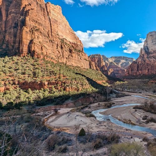
Zion Wilderness
Designated wilderness covers 84 percent of the park, taking in colorful canyons, wooded mesas and stark desert country. Protected since 2009, it is managed so that nature stays untrammeled and people pass through only as visitors. More than 90 miles of trails cross this backcountry, with dozens of designated campsites for backpackers and several at-large camping areas, giving real room for solitude and adventure. Places within it include The Subway, Wildcat Canyon Trail and Northgate Peaks. Any overnight backpacking trip needs a Wilderness Permit. Groups on wilderness trails are capped at 12 people, a limit that also covers the Virgin River Narrows past the Orderville Canyon junction. Long hikes here are out-and-back rather than loops. Beyond hiking, the wilderness supports canyoneering, climbing, river trips and stock use.
Popular Hiking Trails
All trails →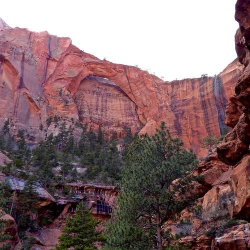
Kolob Arch
Difficult13.9 mi
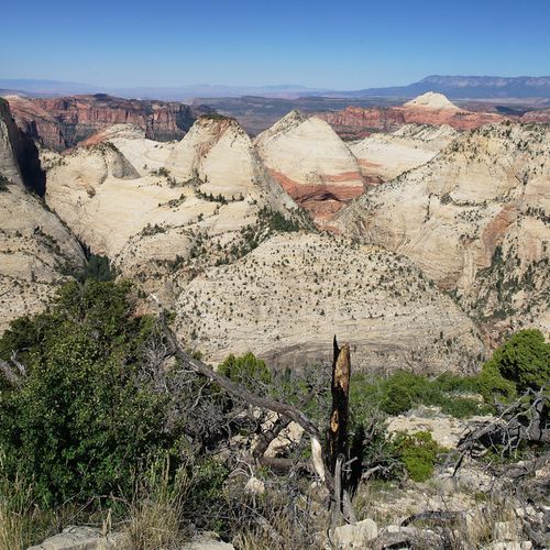
West Rim Trail
Difficult14.6 mi
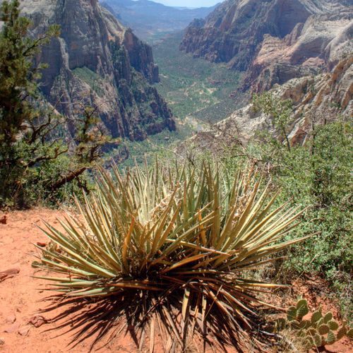
East Rim Trail
Difficult10.5 mi
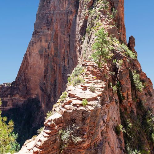
Angels Landing Trail
Extreme4.3 mi
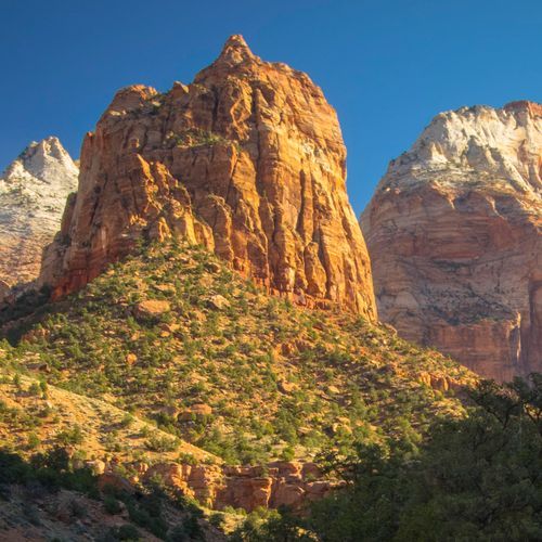
Pa'rus Trail
Easy3.2 mi
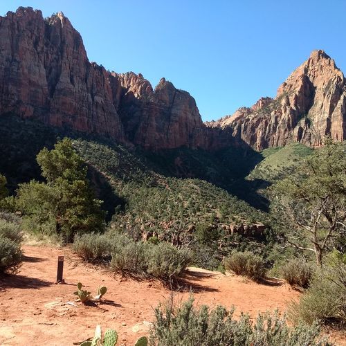
Watchman Trail
Moderate3.4 mi
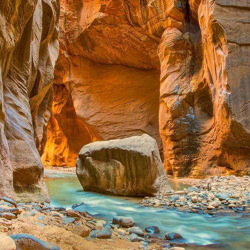
Zion Narrows Bottom-Up Day-Hiking Route
Difficult8.9 mi
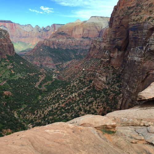
Canyon Overlook Trail
Easy0.9 mi
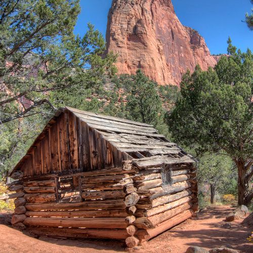
Taylor Creek Trail
Moderate5.0 mi
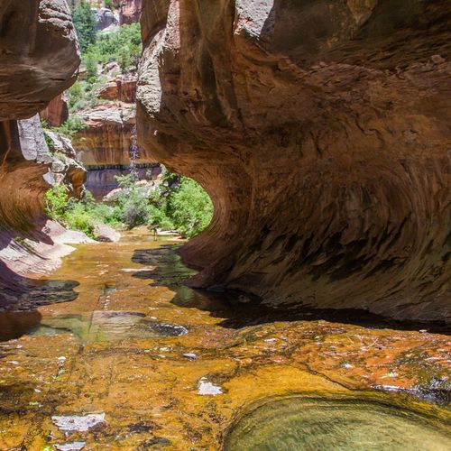
The Subway Bottom-Up Approach
Moderate7.3 mi
Visitor Centers
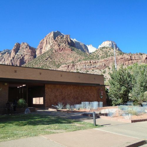
Human History Museum
9:00AM - 6:00PM
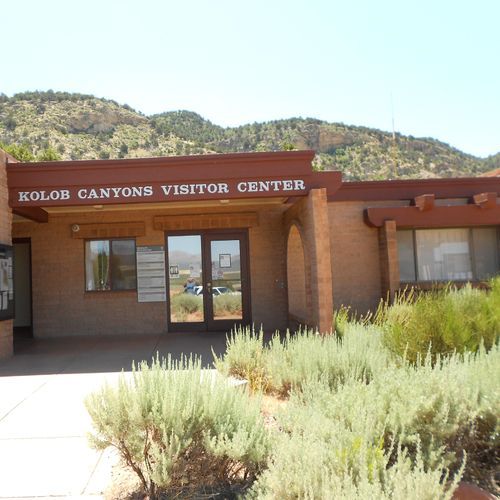
Kolob Canyons Visitor Center
8:00AM - 5:00PM
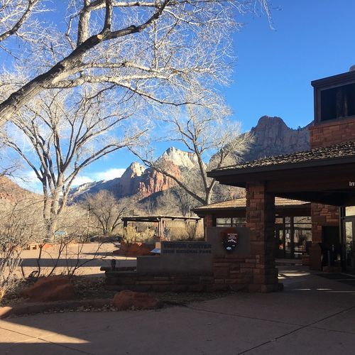
Zion Canyon Visitor Center
8:00AM - 7:00PM
Campgrounds
Camping guide →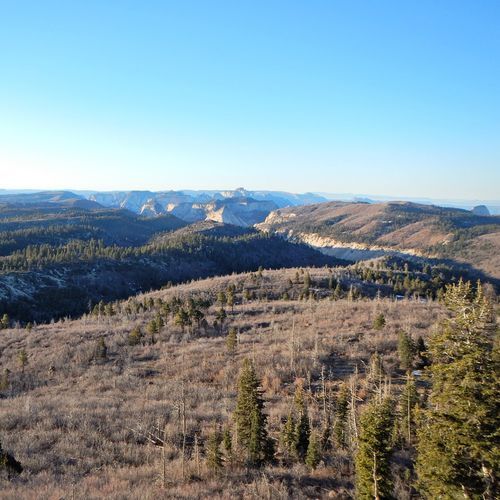
Lava Point Campground
Zion Wilderness
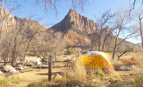
South Campground - Closed for Rehabilitation
Zion Canyon
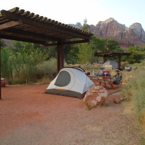
Watchman Campground
Zion Canyon
About the Park
Park Areas
Zion Canyon is renowned for its breathtaking geological features, including towering red rock cliffs of Navajo Sandstone and diverse ecosystems. It is a prime destination for visitors due to its accessible trails, such as the iconic Angels Landing and The Narrows. The canyon is distinguished by its unique slot formations and abundant wildlife, with the Virgin River carving through the landscape, offering ample opportunities for exploration and photography.
The East Rim provides expansive vistas and a more tranquil experience compared to Zion Canyon. It features diverse landscapes, including high plateaus and sandstone cliffs, with trails known for their challenging terrain and rewarding views, attracting seasoned hikers. The quieter environment allows for more frequent wildlife sightings, offering a different perspective from the park's more popular areas.
Kolob Canyons presents a quieter alternative with its striking red rock formations and expansive views. It offers several trails, such as the Taylor Creek Trail, though access is currently limited due to the closure of Kolob Canyons Road at the trailhead. This area remains less crowded, providing a serene hiking experience and showcasing a landscape shaped by distinct geological processes.
Zion Wilderness offers a peaceful retreat with its diverse landscapes and fewer visitors. It features challenging trails like the West Rim Trail and secluded spots perfect for solitude. Spanning elevations from 3,666 to over 8,726 feet, it supports varied ecosystems and activities such as backpacking and birdwatching, enhancing the experience of Zion’s natural beauty.
Park Guides
All 12 guides →Riding the Zion Canyon Scenic Drive Shuttle
Zion Canyon Scenic Drive runs north from Canyon Junction through the heart of Zion Canyon, ending at the Temple of Sinawava along the Virgin River.
Zion Seasons: 100°F Summers, Monsoon Flash Floods
Summer temperatures in Zion regularly climb past 100 degrees Fahrenheit. Elevation shapes the heat, and the gap between daytime and nighttime readings can top 30 degrees.
Walking the Floor Beneath Zion's Walls
In much of the Southwest, you stand on a rim and peer down into a canyon. Zion works the other way around.
Wading the Zion Narrows of the Virgin River
The North Fork of the Virgin River has cut the Zion Narrows, a gorge 16 miles long that pinches down to about 30 feet wide in places.
Angels Landing and Scout Lookout
Angels Landing is one of the most popular hikes in Zion National Park, a strenuous 5.4-mile round trip with about 1,500 feet of elevation gain.
