
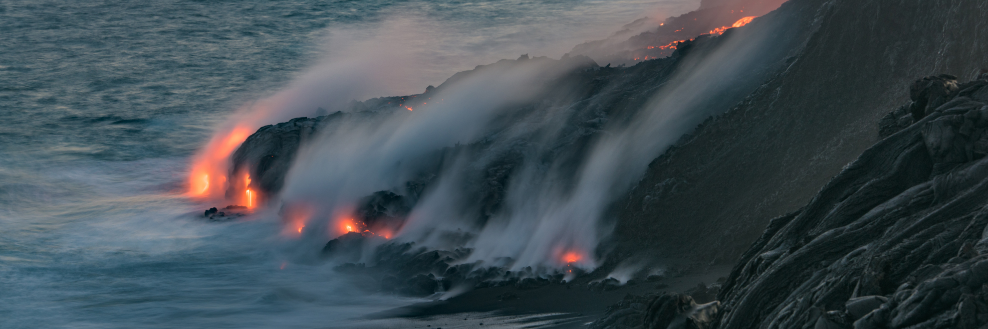
Hawaii Volcanoes National Park is a captivating destination where visitors can observe the raw forces of creation and destruction. Located on the Big Island of Hawaii, this park features two of the world's most active volcanoes: Kīlauea and Mauna Loa. These colossal volcanoes provide both scientists and visitors with a unique perspective on the formation of the Hawaiian Islands and the immense power of the Earth's molten core. Earthquakes and volcanic eruptions are part of the ongoing natural processes here, contributing to the ever-changing landscape.
Hawaii Volcanoes National Park also offers a precious look at unique ecosystems and rare biological diversity. The park protects numerous endemic species, from ferns that grow in newly formed volcanic soil to the nēnē, the endangered Hawaiian goose. As you travel through different elevation zones, the vegetation changes dramatically, from lush tropical rainforests to barren volcanic craters.
Ancient Hawaiians were deeply connected to these lands, viewing the volcanoes as sacred. Sites like the Pu'u Loa petroglyphs—rock carvings made by native Hawaiians—can still be viewed along the trails, offering a glimpse into the culture and beliefs of early inhabitants.
The park offers various ways to explore, from scenic drives like Crater Rim Drive, which circles the summit of Kīlauea, to challenging hikes across volcanic craters and through rainforests. Despite the park's beauty and allure, visitors are reminded to respect nature's power and adhere to safety guidelines due to the active volcanic activity. It's not just a park; it's a glimpse into Earth's inner workings.
Hawaiʻi Volcanoes National Park
Hawaii
Hawaii
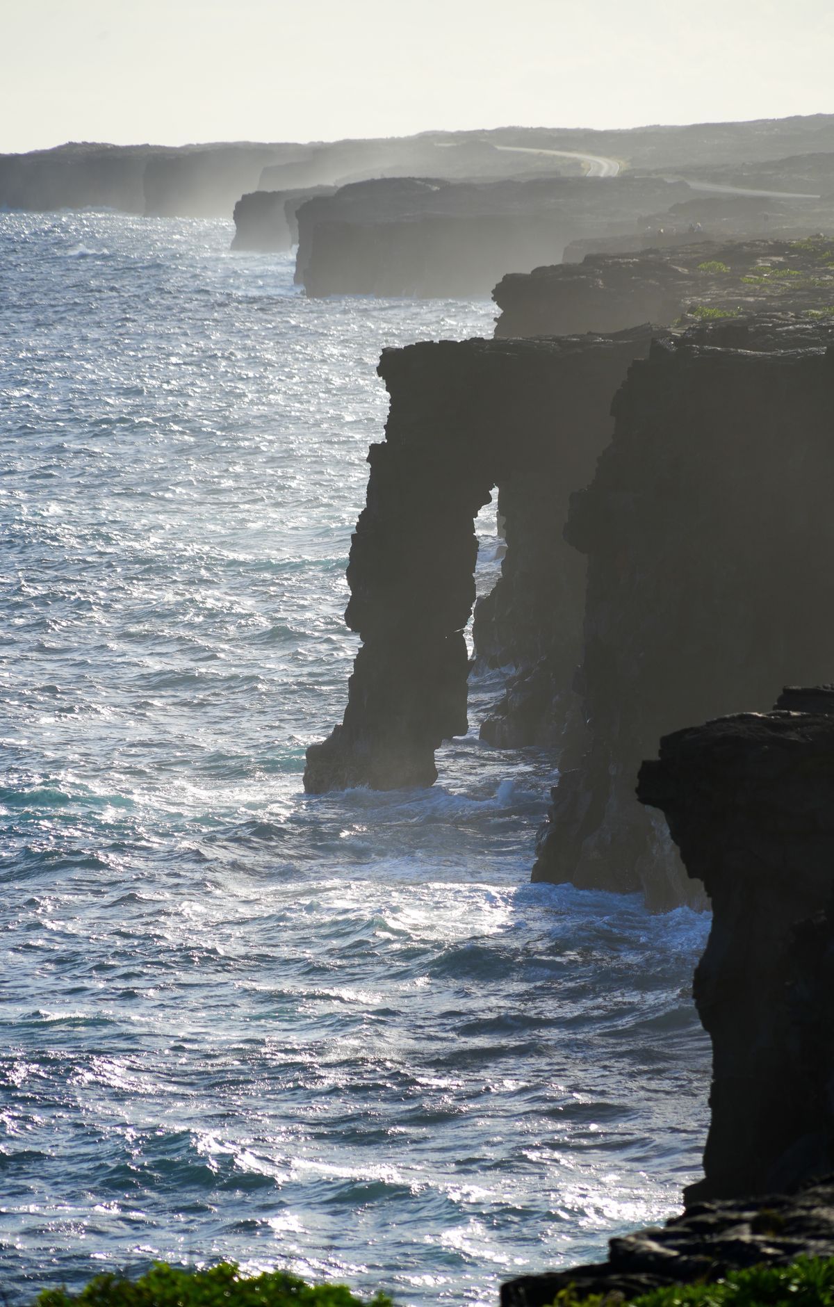
Few places let visitors watch new land form in real time. Hawaiʻi Volcanoes National Park contains Kīlauea, among the most active volcanoes anywhere, and Mauna Loa, the biggest shield volcano on the planet. When Kīlauea is erupting, lava flows can be seen from the park. Crater Rim Drive circles Kīlauea's summit, while Chain of Craters Road descends to the coast past recent lava flows. Visitors can walk through the Thurston Lava Tube and hike to the Puʻu Loa Petroglyphs, which hold more ancient rock carvings than any other site in Hawaiʻi. The park's ecosystems stretch from sea level to Mauna Loa's summit, and many native plants and animals, such as the nēnē, are found nowhere else in the world.
Park Areas
All areas →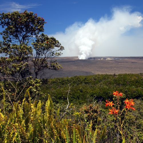
Kīlauea Visitor Center Area
Just inside the park entrance, the Kīlauea Visitor Center anchors a cluster of starting points. Its exhibits cover island formation, ecosystems from sea to summit, and the stories of Hawaiʻi's indigenous people, and a film plays in its auditorium. Rangers can supply trail information, maps and permits, and the bookstore is run by the Hawaiʻi Pacific Parks Association, with sales supporting park programs. The Haʻakulamanu (Sulphur Banks) Trail begins at the far end of the center, where volcanic gases leave colorful crystals on the rocks. The Volcano Art Center Gallery, next door, shows local and native Hawaiian art in the original Volcano House hotel building, and the hotel is close by. The Welcome Center sits just beyond the entrance station and offers trail and road information. The Crater Rim Drive tour starts at Uēkahuna.
Kahuku Unit
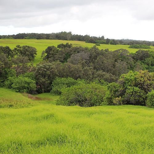
A former cattle ranch on the southwestern flank of Mauna Loa, this area is known for rolling pastures and scattered ʻōhiʻa trees left from the ranching era. Paniolo once managed livestock here, and old ranch roads now serve as trails. The 1868 eruption of Mauna Loa sent lava across the land, and the Palm Trail follows the fissure from that event. Day hikers can climb Puʻu o Lokuana, a cinder cone with a historic cinder quarry inside it, or take the easy Kamakapaʻa Trail to a small cinder cone with views over lower Kaʻū. The Kona Trail crosses the 1887 lava flow. The Kahuku Visitor Contact Station provides park information, books and gifts.
Popular Hiking Trails
All trails →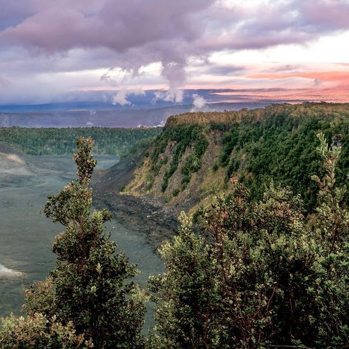
Kīlauea Iki Trail
Moderate3.2 mi
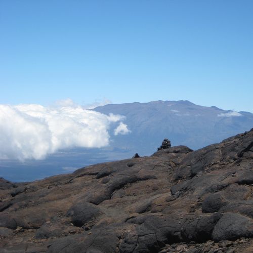
Mauna Loa Trail
Extreme36.9 mi
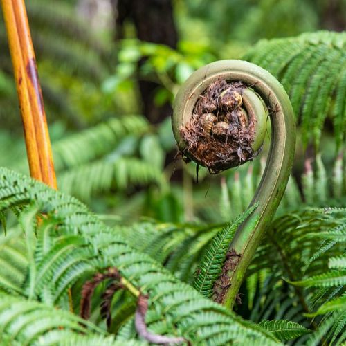
Lava Tube Trail
Easy0.4 mi
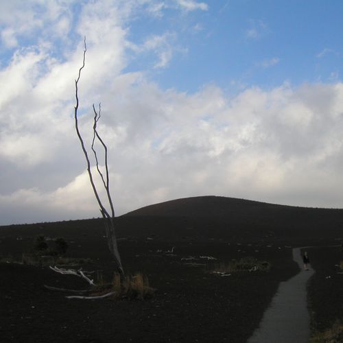
Devastation Trail
Easy1.1 mi
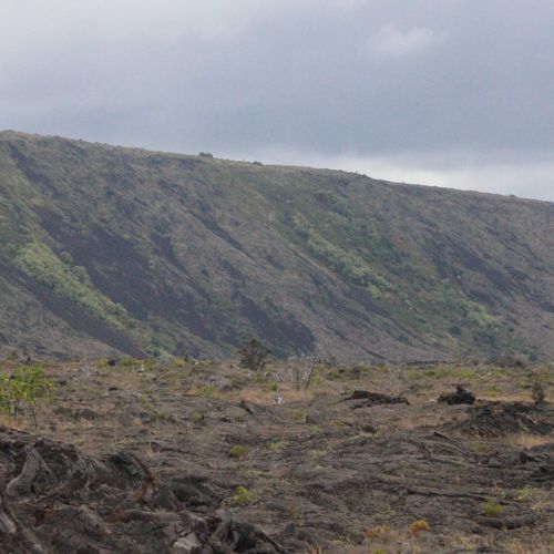
Puʻu Loa Petroglyphs Trail
Difficult9.9 mi
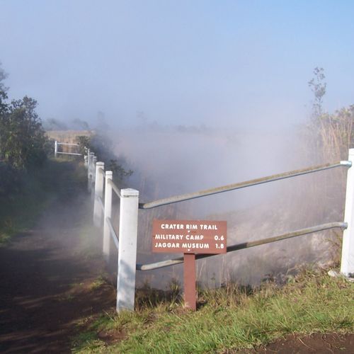
Crater Rim Trail
Difficult11.3 mi
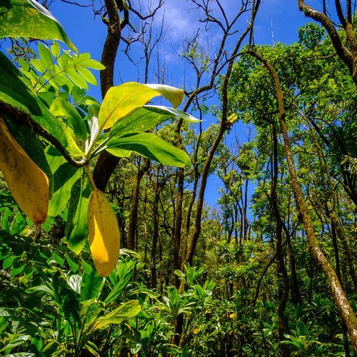
Ainapo Trail
Extreme12.8 mi
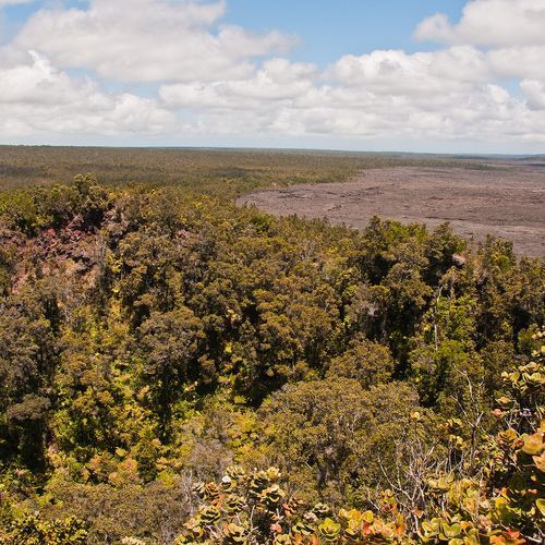
Puʻu Huluhulu Trail
Difficult6.5 mi
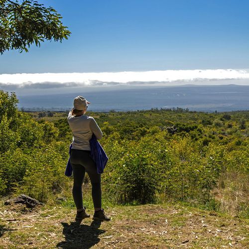
Mauna Loa Summit Trail
Difficult6.2 mi
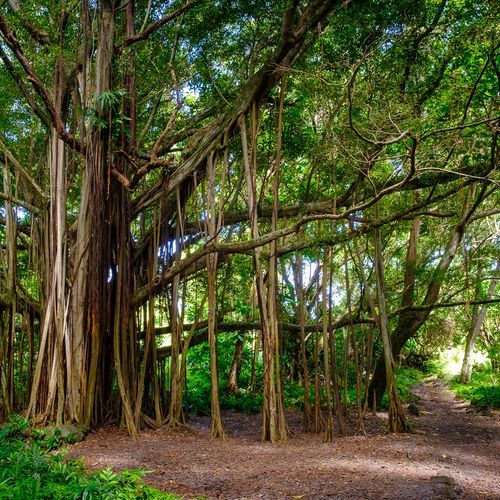
Nāulu Trail
Moderate6.4 mi
Visitor Centers

Kahuku Visitor Contact Station
Closed
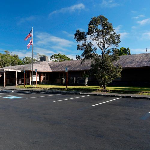
Kīlauea Visitor Center
9:00AM - 5:00PM
Campgrounds
Camping guide →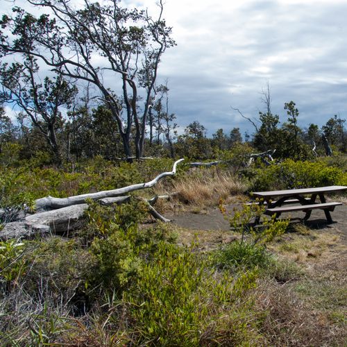
Kulanaokuaiki
Kīlauea Visitor Center Area
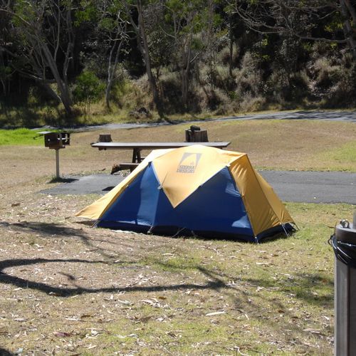
Nāmakanipaio
Kīlauea Visitor Center Area
About the Park
Park Areas
The Kīlauea Visitor Center Area is an essential starting point for visitors seeking to understand the park's volcanic activity. It features educational exhibits, films, and ranger-led programs that provide comprehensive geological insights, including information on recent eruptions and the island's formation. Its proximity to trails and scenic viewpoints makes it an ideal launchpad for exploring the park's diverse landscapes.
Chain of Craters Road offers a unique driving experience through a dynamic volcanic landscape, descending 3,700 feet from the summit of Kilauea volcano to the coast. Visitors can observe steam vents, lava flows, and petroglyphs, such as those at Pu’u Loa. The road often ends at a lava blockage, highlighting the park's ongoing volcanic activity and providing a distinct perspective on Hawaii’s volcanic environment.
The Kahuku Unit presents a quieter alternative, spanning over 116,000 acres with trails through native forests and pastures. It features unique geological formations like pit craters and cinder cones and offers birdwatching opportunities, including sightings of the Hawaiian hawk. Kahuku also emphasizes cultural history with remnants of ranching activities and ancient Hawaiian settlements.
Thurston Lava Tube (Nāhuku) provides a distinctive experience of walking through a subterranean tunnel formed by lava approximately 500 years ago. This well-lit and accessible tube offers a cooler, sheltered environment with lush vegetation at the entrance, making it a popular educational stop to understand the dynamic forces shaping the Hawaiian landscape.
Park Guides
All 12 guides →Packing for Summit Chill and Coastal Heat
Conditions at the summit of Kīlauea, about 4,000 feet up, shift from day to day, and rain and chill can arrive in any month.
Watching the Halemaʻumaʻu Eruption Safely
Halemaʻumaʻu is the crater inside the Kīlauea caldera where the current eruption takes place.
Chain of Craters Road: Pit Craters to Sea
Chain of Craters Road is about 18.8 miles long and runs from the summit area of Kīlauea Volcano down to the coast.
Climbing Mauna Loa's Summit Trail
Mauna Loa is a shield volcano on Hawaiʻi island, and its summit rises to about 13,680 feet above sea level.
Hiking the Kīlauea Iki Trail
The Kīlauea Iki Trail is a loop of 3.3 miles, or 5.3 kilometers, that begins at the Kīlauea Iki Overlook.
