
Wrangell-St. Elias National Park and Preserve is a monumental expanse of wilderness, larger than many countries. Encompassing over 13 million acres in south central Alaska, it's the largest national park in the United States and part of a UNESCO World Heritage Site.
This immense park is where four major mountain ranges meet: the Wrangell, St. Elias, Chugach, and the eastern part of the Alaska Range, featuring some of the highest peaks in North America, including Mt. St. Elias, which soars to 18,008 feet. The landscape offers glaciers, rivers, and vast valleys that have shaped its geography and challenged its visitors.
The park's Malaspina Glacier is the largest piedmont glacier in North America, spreading over 1,500 square miles. Hubbard Glacier, the longest tidewater glacier in Alaska, is another highlight, filling the park with blue ice that dominates the dynamic and dramatic topography.
The ecosystems here are diverse, supporting a wide array of wildlife including bears, moose, caribou, and Dall sheep. Eagles soar overhead, while the rivers teem with salmon, drawing anglers and wildlife enthusiasts alike.
Human presence in the park dates back over millennia with the Ahtna and Eyak people, and traces of their rich heritage can be explored today. Historic sites like the old mining town of Kennecott offer a glimpse into the area's copper mining boom in the early 20th century, now a ghost town that tells a tale of human endeavor and resilience.
Wrangell-St. Elias is a place for the adventurous – accessible primarily by small aircraft, boats, or on foot, the park encourages backcountry hiking, mountaineering, and river rafting. Experience the solitude and pristine beauty of American wilderness in a park so vast, it's possible to wander and explore without seeing another soul. Visitors should come prepared for the challenges posed by this rugged landscape and the unpredictable Alaskan weather.
Wrangell - St Elias National Park & Preserve
Alaska
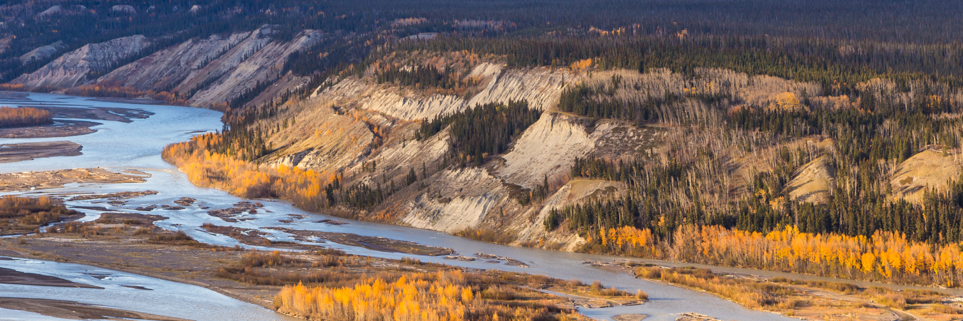
Alaska
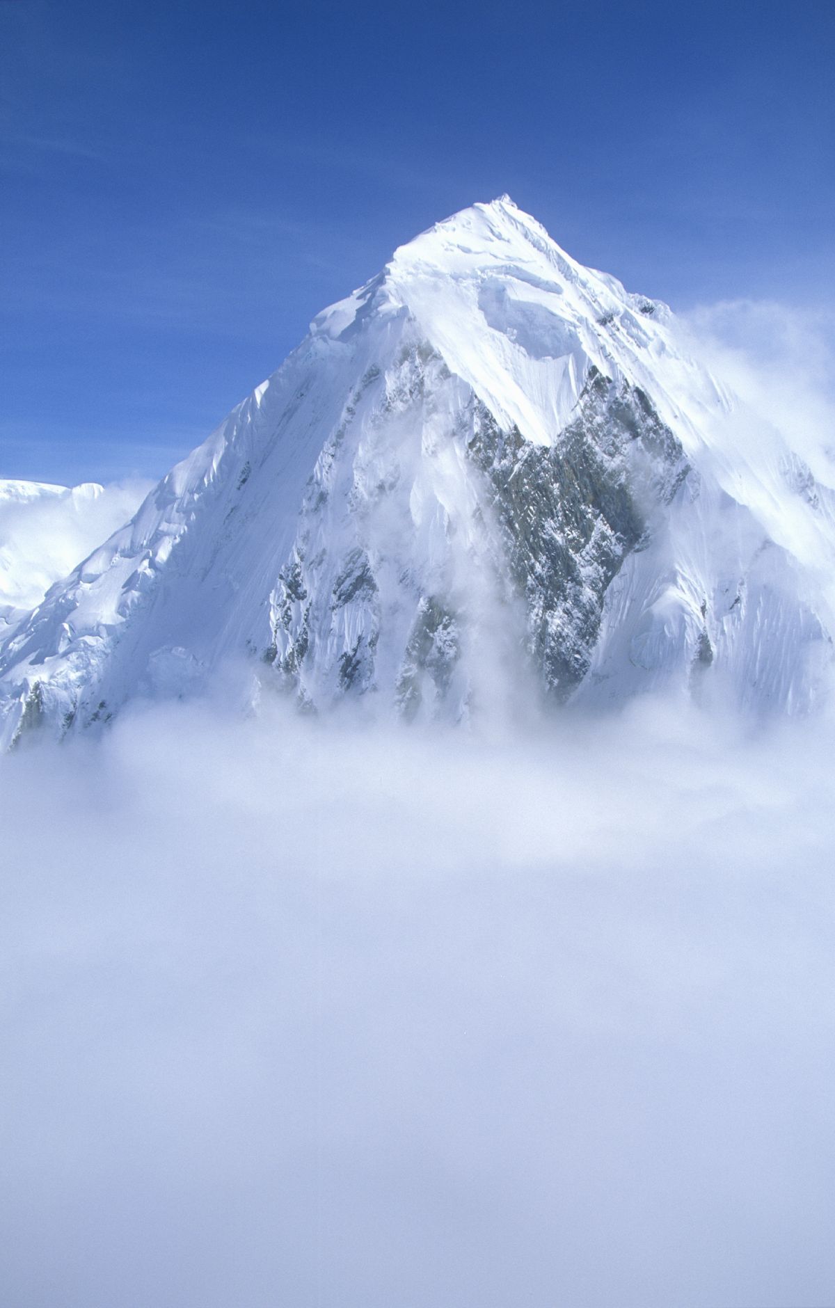
Few places rival this Alaskan park, which spans about 13.2 million acres and tops every other US national park in size. Glaciers and icefields cover much of the high country, including the Hubbard Glacier, which runs longer than any other tidewater glacier on the continent. Four mountain ranges rise here, among them the St. Elias Mountains, home to Mount St. Elias, which ranks second in height in both the US and Canada. Only McCarthy Road and Nabesna Road reach into the park. Kennecott and McCarthy, deep inside, serve as a base for glacier hiking, including the Root Glacier Hike, and flightseeing. Backpacking and mountaineering draw others deeper into the backcountry.
Park Areas
All areas →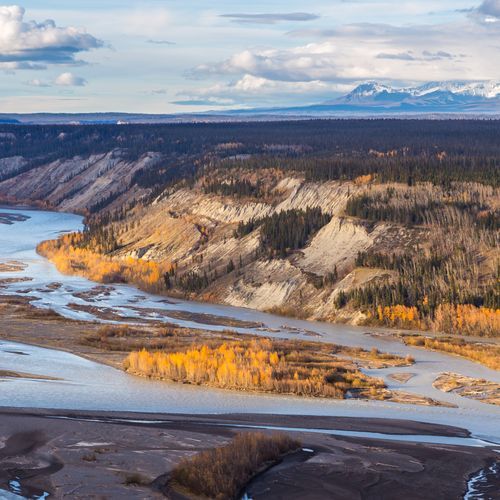
Copper Center
Views of the Wrangell Mountains open up from the walking trails beside the main visitor center, a campus-like complex that makes a sensible first stop. Inside, you can watch the park film, join a guided talk by a ranger, and study a 3D map of the park. The Boreal Forest Trail is an easy half-mile loop through the forest around the building, while the Copper River Bluff Trail is a moderately strenuous half-mile loop to an overlook above the river. The Ahtna Cultural Center is on the same grounds. Short day hikes lie nearby, though most are outside the park, and camping is available at private and other public campgrounds in the area, since none are inside the park.
Chitina
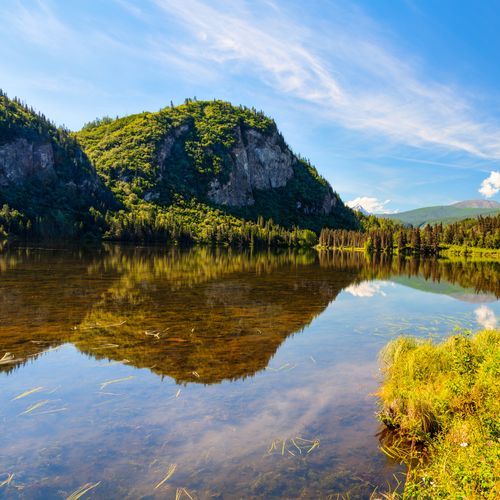
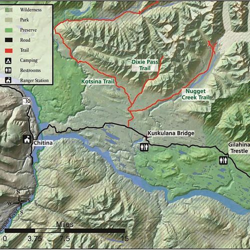
Once a bustling railroad stop, this town took shape in 1910 to serve trains hauling copper ore from Kennecott toward the coast. The tracks are gone now, but the town remains a gateway into the park and onto the McCarthy Road. Summer brings the fishing season, when salmon draw anglers to the rivers. The Chitina Ranger Station, a log cabin built in 1910, offers road updates, trip planning and area information, and the Chitina Wayside downtown has restrooms and panels. Heading out, the road crosses the Copper River Bridge, where the Copper and Chitina rivers meet in view of several pull-outs. Further along, the scenic McCarthy Road passes rock units of basalt, greenstone and limestone. The Nugget Creek Trail, roughly 15 miles one way, starts off Kotsina Road.
Kennecott
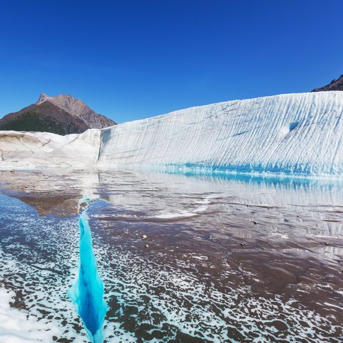
Early 1900s copper mining left a well-preserved set of buildings and artifacts here, many still on site. The Kennecott Mines National Historic Landmark covers the mines high in the mountains, where ore was extracted, and the mill town below, where it was processed. Guided tours of the 14-story mill last about two hours and take you from top to bottom, past old mining equipment, down ladders and steep staircases. The Visitor Center, housed in the historic Blackburn School, is where most trails begin, including the Root Glacier hike. Ore came from the Bonanza Mine and several other mines, and the town overlooks the Root and Kennicott Glaciers. Getting here means driving the McCarthy Road, which follows part of a former railway route, then riding a shuttle the final five miles.
Slana
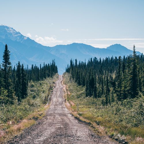
The northern gateway to the park starts at the Slana Ranger Station, where Nabesna Road begins. Staff there share road conditions and park information, and they issue the off-road vehicle permits needed to use designated ORV trails that branch off the road. Scenic driving along Nabesna Road offers chances for wildlife viewing, and several day hikes start from roadside trailheads. The Caribou Creek Trail, reached near mile 19, is a moderate day hike with good views. Farther along, near mile 24, the Tanada Lake Trail is a long, muddy route that is generally better suited to off-road vehicles than to hikers, though some hikers use it to reach nearby lakes.
Popular Hiking Trails
All trails →
The Goat Trail
Extreme7.4 mi
Dixie Pass trail
Extreme11.6 mi
Tanada Lake Trail
Moderate15.3 mi
Copper Lake Trail
Difficult15.7 mi
McCarthy Creek Road Trail
Difficult16.1 mi
Visitor Centers
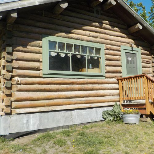
Chitina Ranger Station
Closed
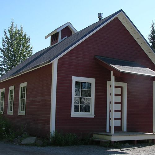
Kennecott Visitor Center
Closed
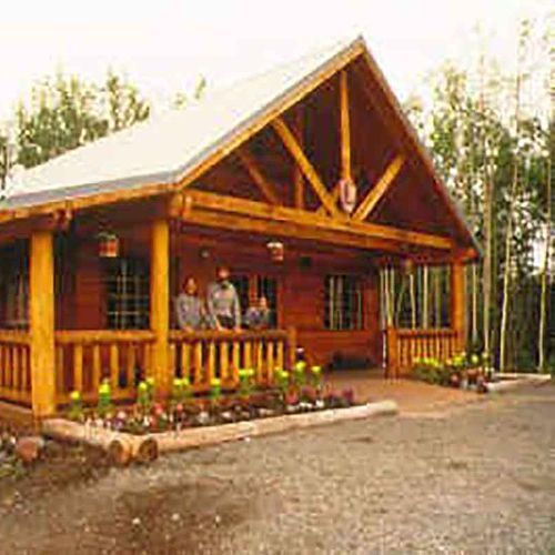
Slana Ranger Station
Closed
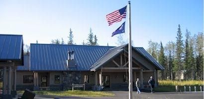
Wrangell-St. Elias Visitor Center in Copper Center
Closed
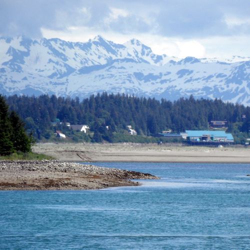
Yakutat
Campgrounds
Camping guide →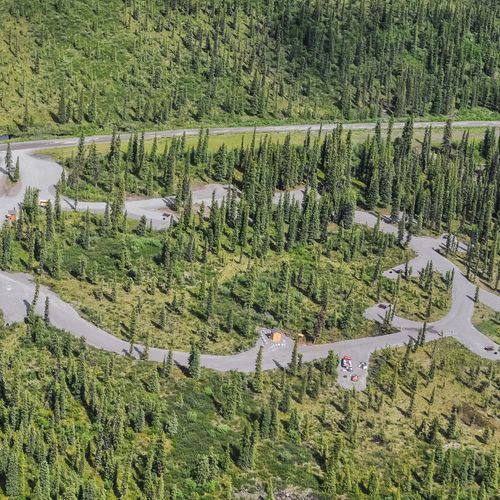
Kendesnii Campground
Slana
About the Park
Park Areas
Copper Center is a key access point to Wrangell-St. Elias National Park, offering both convenience and cultural insights. It houses the park’s visitor center, which features educational exhibits and resources, making it an ideal spot for day trips. The area is accessible and offers fishing and hiking opportunities, with stunning views of the Wrangell Mountains.
Chitina provides a quieter, more secluded gateway to the park, appealing to those seeking solitude and local culture. Known for its rustic charm and historical significance, Chitina is a prime location for salmon fishing on the Copper River, enhancing its appeal as a notable stop for travelers.
Kennecott stands out as a historical mining site with well-preserved structures, offering a glimpse into early 20th-century industrial life. Accessible during warmer months, it provides guided tours of the mill and town buildings. Kennecott is also a popular entry point for exploring the Root Glacier, combining historical and natural attractions.
Slana offers access to the Nabesna Road, ideal for wildlife viewing and hiking in a less crowded setting. Known for its panoramic mountain views and rich cultural history, including Ahtna heritage, Slana provides a distinct, quieter experience compared to more frequented regions.
Park Guides
All 11 guides →Driving the McCarthy Road to the Footbridge
The McCarthy Road runs about 60 miles of gravel from Chitina into the heart of the park. In the first few miles, pull-outs look over the meeting of the Chitina and Copper rivers, an easy first stop.
Timing Your Trip Around Rain and Early Snow
The best window for a visit to Wrangell-Saint Elias National Park and Preserve runs from late May through mid-September, when daylight lasts long and the air runs from cool to warm.
Where Four Mountain Ranges Meet
Four distinct mountain ranges come together in this park: the Wrangell Mountains, the Saint Elias Mountains, the Chugach Mountains and the Alaska Range.
Mount Wrangell and the Park's Active Volcanoes
Mount Wrangell rises to 18,008 feet and ranks as the biggest volcano in the nation apart from those in Hawaii.
Hiking onto the Root Glacier
The Root Glacier is the most accessible glacier in Wrangell-Saint Elias National Park and Preserve, which makes it a practical first step for anyone who wants to walk on ice.
