
Acadia National Park in Maine offers a landscape carved by glacier-fed waters and etched with granite cliffs. This 49,075 acre park stands out for its rich biodiversity and the striking contrast between mountain and maritime experiences.
The park is famous for Cadillac Mountain, the highest point along the North Atlantic seaboard. During certain times of the year, it's the first place in the United States to see the sunrise, a spectacle that attracts hundreds of early risers. Acadia's landscape is a product of glacial movements thousands of years ago, which left behind a rugged and intricate topography that includes a fjard, cliffs, and islands.
The park is a haven for wildlife enthusiasts, offering a home to black bears, moose, and otters, and a variety of birds including peregrine falcons and bald eagles. Acadia is also notable for its seasonal palette of colors from lush greens in spring and summer to vibrant oranges and reds during the fall, making it a popular destination for leaf peepers.
Acadia's cultural history is demonstrated in its carriage roads built by philanthropist John D. Rockefeller, Jr., which are excellent for walking and cycling, and remain car-free year-round. The park also holds significant Native American history, as it was originally inhabited by the Wabanaki people who have lived in the region for thousands of years.
Acadia National Park's network of hiking trails, including the challenging Precipice Trail, attracts both casual visitors and avid outdoors enthusiasts. The park also features a historic motor road, the 27-mile Park Loop Road, offering stunning coastal views, access to the rugged coastline, and the chance to explore the park's natural beauty by car.
Acadia National Park
Maine
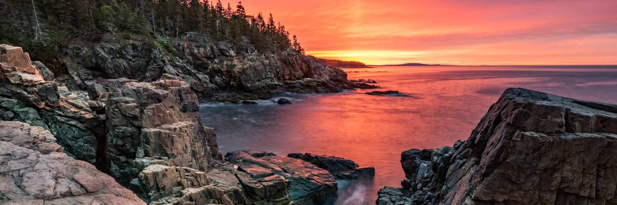
Maine
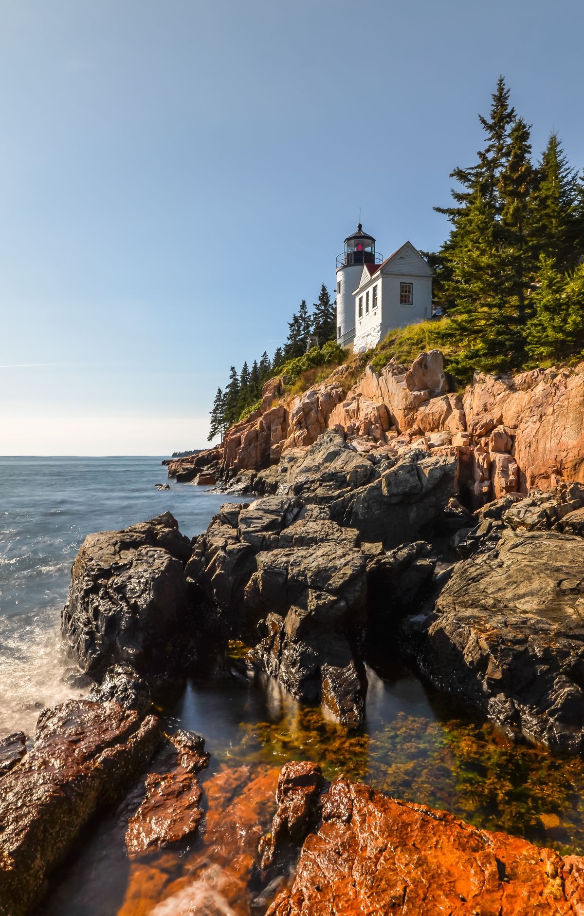
The highest rocky headlands along the Atlantic coast of the United States rise from the sea at Acadia National Park in Maine, which spreads across Mount Desert Island, the Schoodic Peninsula, Isle au Haut and other coastal islands. Drivers can follow the Park Loop Road and other historic motor roads, and a summit road climbs Cadillac Mountain. Hikers have 158 miles of trails, while 45 miles of carriage roads with 16 stone bridges stay closed to cars and welcome bicycles and horses. Forests, wetlands and ponds are home to about 50 mammal and 300 bird species. Paddlers kayak and canoe on lakes and ponds, and swimmers head to Sand Beach and Echo Lake.
Park Areas
All areas →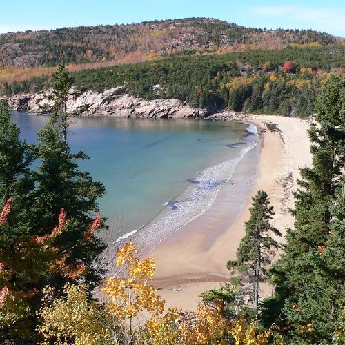
Mount Desert Island (East)
Separated from the quieter west side by Somes Sound, the east side of Mount Desert Island is the most visited part of the park. The 27-mile Park Loop Road is the go-to scenic drive here, linking lakes, mountains and shoreline on its way to Sieur de Monts, Sand Beach, Otter Point, Jordan Pond and the top of Cadillac Mountain. Thunder Hole and Otter Cliffs are other highlights. Pinkish Cadillac Mountain granite makes up much of the island's bedrock, and glaciers carved the U-shaped valleys that hold Jordan Pond and Eagle Lake and shaped The Bubbles, two rounded granite knobs. Hiking is especially popular on this side of the island, and trailheads fill quickly, so the fare-free Island Explorer bus is a handy way to reach them. Non-motorized carriage roads also wind through the area, and Bar Harbor sits close by.
Mount Desert Island (West)
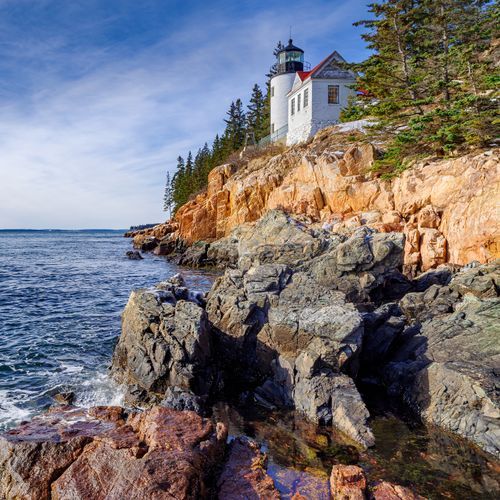
Across Somes Sound from the busier east side, the west side of Mount Desert Island offers quieter, more secluded recreation among wooded mountains and glacier-shaped lakes and ponds. Trails climb through forest and along ridgelines to summits such as Acadia, Beech, St. Sauveur and Flying mountains. The Western Mountain Loop, a challenging 3.8-mile route over Mansell and Bernard mountains, ascends more than 300 cut granite steps on the historic Perpendicular Trail. Paddlers and boaters can explore Long Pond, Echo Lake, Hodgdon Pond and Seal Cove Pond, and swimmers head to Echo Lake Beach. Seawall has camping, hiking and ranger programs, while Bass Harbor Head Light Station in Tremont marks the entrance to Bass Harbor and Blue Hill Bay. The Carroll Homestead shows how farm life on the island changed through the 19th and early 20th centuries.
Schoodic Peninsula
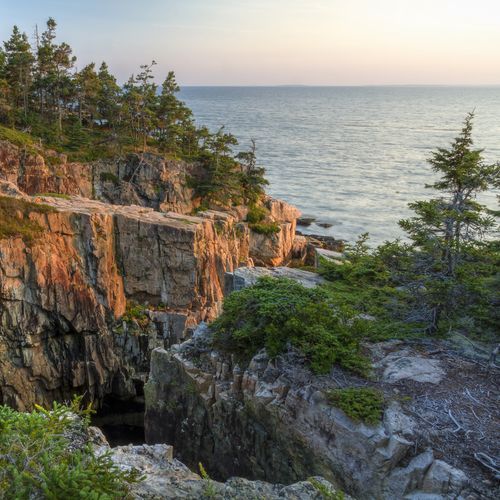
The only section of the park on the mainland, this peninsula is managed to stay quiet, with minimal development and a more secluded feel than Mount Desert Island. Its granite headlands show the wear of storm surf and flood tides. Past Winter Harbor, the park road leads by the Schoodic Woods Campground and Ranger Station, then the Frazer Point Picnic Area, where tables and fire rings overlook coves, rocky beaches and islands. From there a one-way stretch hugs the western shore, with turnouts for watching lobster boats and gulls and looking across to Mount Desert Island, before reaching Schoodic Point. A 7.5-mile trail network crosses spruce-fir forest, pine woodland and shrubland, with lookouts from the Anvil and the 440-foot summit of Schoodic Head. Another 8.3 miles of packed gravel paths suit cyclists and walkers alike.
Isle au Haut
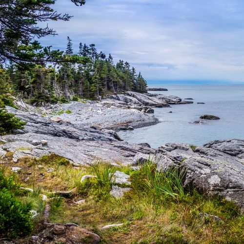
Reached only by passenger ferry from Stonington, this island in Penobscot Bay is the most remote corner of the park. Samuel Champlain named it "High Island" in 1604. The park manages about half the land, and the rest is private, shared by summer residents and a fishing community living there year-round. Eighteen miles of rough trails wind past marshes, bogs, a mile-long freshwater lake, forested uplands and rocky coast. Duck Harbor is the best place to start a hike, and Western Head and Eastern Head are among the island's highlights. Duck Harbor Mountain is the most strenuous climb, while the Goat Trail traces a rocky stretch of coast. Cyclists get five miles of paved road and seven of rough unpaved road, suited to mountain bikes, though trails are off-limits to bikes. Duck Harbor Campground offers five designated sites.
Outer Islands
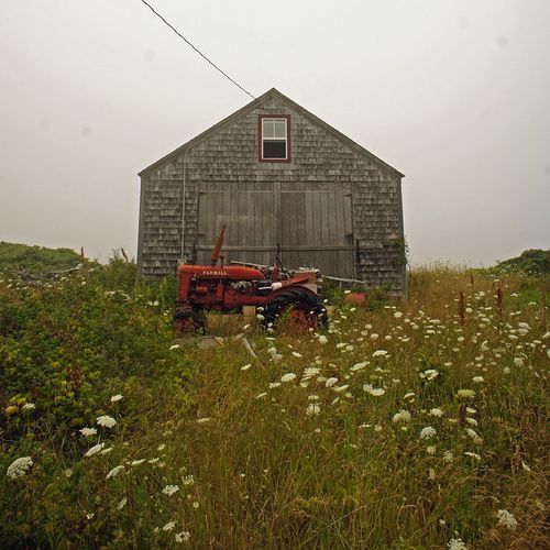
South of Mount Desert Island, the Cranberry Isles, Baker Island and more than a dozen other outlying islands hold park land and structures alongside communities whose residents have worked these waters and waterfronts for generations. These islands are reached only by water, on passenger ferries, personal watercraft or tour boats. The main way to experience the area is a ranger-led boat tour to Islesford on Little Cranberry Island, home of the Islesford Historical Museum. Passport collectors can pick up the Islesford stamp at the museum. Baker Island, marked by Baker Island Light, is another landmark. Beyond Little Cranberry, the islands are closed to the public; some are owned by the park, others protected through conservation easements. Camping and fires are prohibited on all of them.
Popular Hiking Trails
All trails →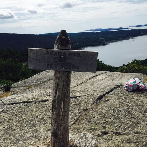
Acadia Mountain Trail
Moderate2.5 mi
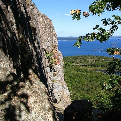
Precipice Trail
Difficult2.5 mi
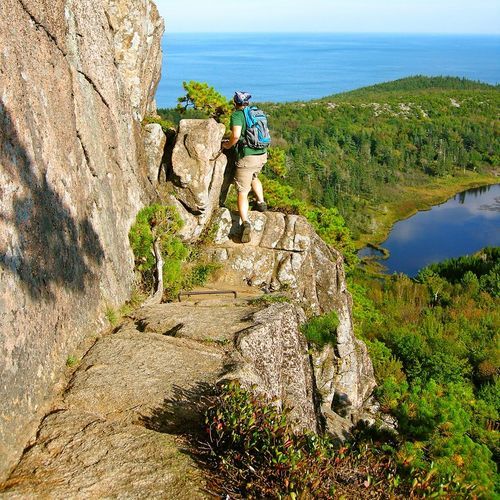
Beehive Trail
Difficult1.5 mi
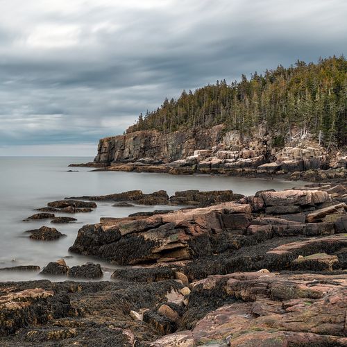
Ocean Path
Easy4.2 mi
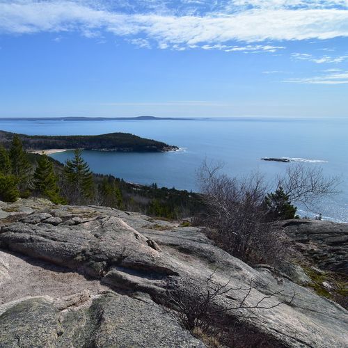
Gorham Mountain Trail
Moderate2.7 mi
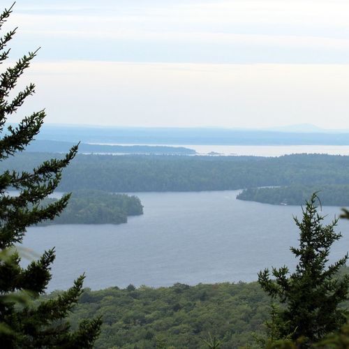
Giant Slide Trail
Difficult5.0 mi
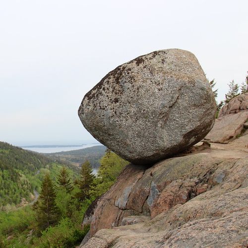
Bubbles Trail
Moderate1.7 mi
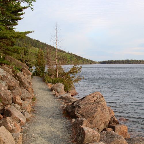
Jordan Pond Path
Easy3.2 mi
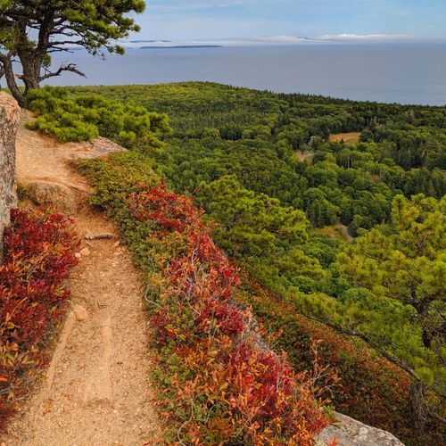
Beech Mountain Loop Trail
Moderate1.1 mi
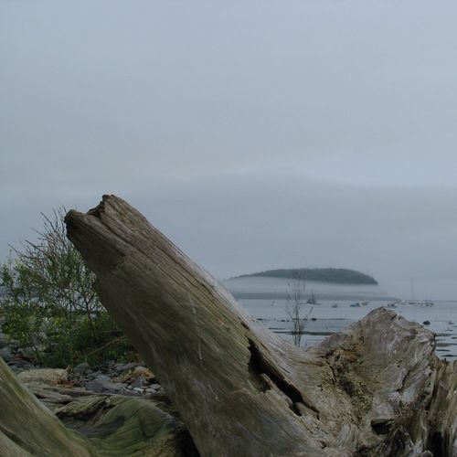
Bar Island Trail
Easy1.7 mi
Visitor Centers
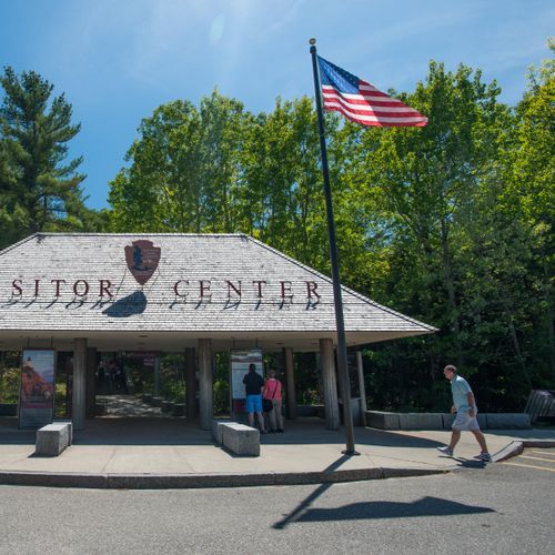
Hulls Cove Visitor Center
8:30AM - 4:30PM

Islesford Historical Museum
10:30AM - 4:00PM
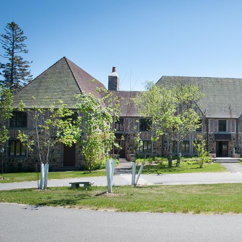
Schoodic Institute Welcome Center at Rockefeller Hall
10:00AM - 4:00PM
Schoodic Woods Campground Ranger Station
8:00AM - 3:00PM
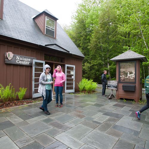
Sieur de Monts Nature Center
9:00AM - 5:00PM
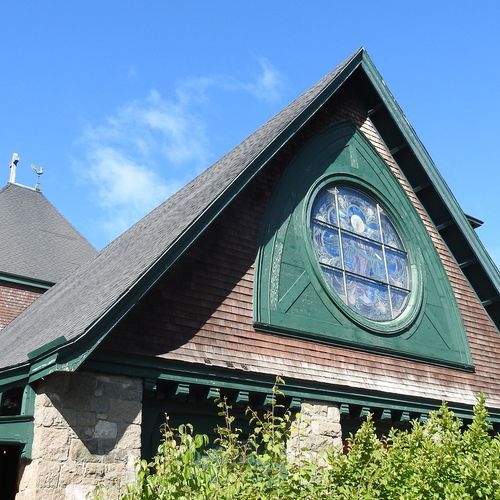
Winter Information: Bar Harbor Chamber of Commerce
8:00AM - 4:00PM
Campgrounds
Camping guide →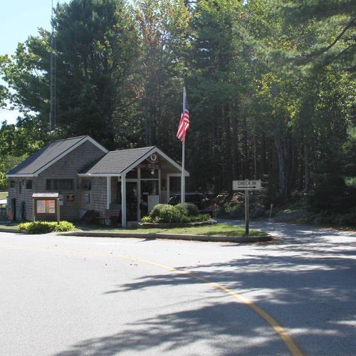
Blackwoods Campground
Outer Islands
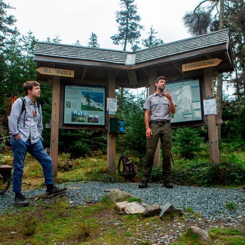
Duck Harbor Campground
Isle au Haut
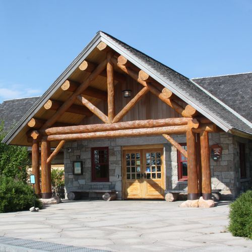
Schoodic Woods Campground
Schoodic Peninsula
Seawall Campground
Outer Islands
About the Park
Park Areas
Mount Desert Island's eastern side is a focal point for visitors, featuring Cadillac Mountain, the highest peak on the U.S. Atlantic coast, renowned for its sunrise views. The area combines rugged coastlines with the serene Jordan Pond, ideal for hiking. Historical carriage roads offer opportunities for biking and walking, while Bar Harbor provides a hub of amenities. The island's diverse ecosystems support unique flora and fauna, making it a vibrant destination.
In contrast, the west side of Mount Desert Island offers a quieter experience with serene landscapes, including the Bass Harbor Head Lighthouse. Less crowded hiking trails, such as Acadia Mountain, provide vistas of Somes Sound, and Echo Lake offers a family-friendly swimming spot. The area's cultural heritage is evident in small communities like Southwest Harbor, known for their maritime history.
The Schoodic Peninsula presents a tranquil alternative with rugged coastlines and panoramic views. It is less crowded, allowing for peaceful exploration via the Schoodic Loop Road and diverse hiking trails. As the only mainland part of Acadia, it offers a unique perspective of Mount Desert Island.
Isle au Haut provides a secluded experience with rugged hiking trails and striking coastal views, accessible by boat. The island's diverse ecosystems and wildlife sightings, including seabirds and seals, appeal to nature enthusiasts. Duck Harbor Campground offers primitive camping options.
The Outer Islands offer a serene escape with diverse ecosystems and opportunities for birdwatching and marine life observation. Accessible primarily by boat, they provide a secluded experience with historical sites like old lighthouses, adding cultural interest.
Park Guides
All 12 guides →Island Explorer Shuttle and Beating the Parking Crunch
Parking in Acadia is extremely limited. With roughly four million visits a year, drivers often face long waits and crowded lots.
Acadia Seasons: July Crowds to October Foliage
July and August are Acadia's busiest months, drawing about one-third of the park's yearly visitors.
Driving the 27-Mile Park Loop Road
Park Loop Road runs 27 miles, or 43 kilometers, around the east side of Mount Desert Island, tying together Acadia's lakes, mountains and shoreline.
Iron Rungs: Precipice, Beehive and Jordan Cliffs
Acadia has an unusual number of trails where iron rungs and ladders are bolted straight into the granite.
Rockefeller's Carriage Roads and Stone Bridges
Forty-five miles of car-free, broken-stone roads curve through the interior of Mount Desert Island.
