
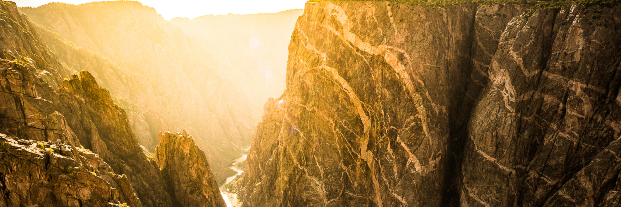
Black Canyon of the Gunnison National Park is a stunning testament to the raw power of nature. The park is named for its most striking feature, the Black Canyon, so deep and narrow that sunlight struggles to penetrate its depths, giving the canyon walls a perpetually shadowed appearance. This dramatic gorge, carved by the Gunnison River over millions of years, plunges an impressive 2,722 feet at its deepest point making it one of the steepest and most breathtaking canyons in North America.
The canyon's walls showcase some of the oldest exposed rock on the planet. These Precambrian gneisses tell a geological story that spans nearly two billion years. The dramatic spires, sheer cliffs, and cragged peaks attract rock climbers and geologists alike, drawn by the challenging terrain and the canyon's geological significance.
The park hosts a variety of wildlife including mule deer, elk, black bears, and Rocky Mountain bighorn sheep. Birdwatchers might catch a glimpse of the peregrine falcon, known to nest along the canyon walls. The Gunnison River, flowing at the bottom of the canyon, provides habitat for trout and is a popular spot for fishing.
Black Canyon of the Gunnison is a paradise for hearty adventurers. With rigorous inner canyon routes like the Gunnison Route and the more accessible Rim Rock Nature Trail, each path offers unique vantage points to view the steep canyon walls and diverse ecosystem. The park's remote nature and minimal light pollution also make it an excellent location for stargazing.
Whether you're a seasoned climber looking to tackle the park's menacing rocks or a nature lover eager to explore the simpler trails and soak in the panoramic views, Black Canyon of the Gunnison National Park offers a profound reminder of our planet's history and natural beauty.
Black Canyon Of The Gunnison National Park
Colorado
Colorado
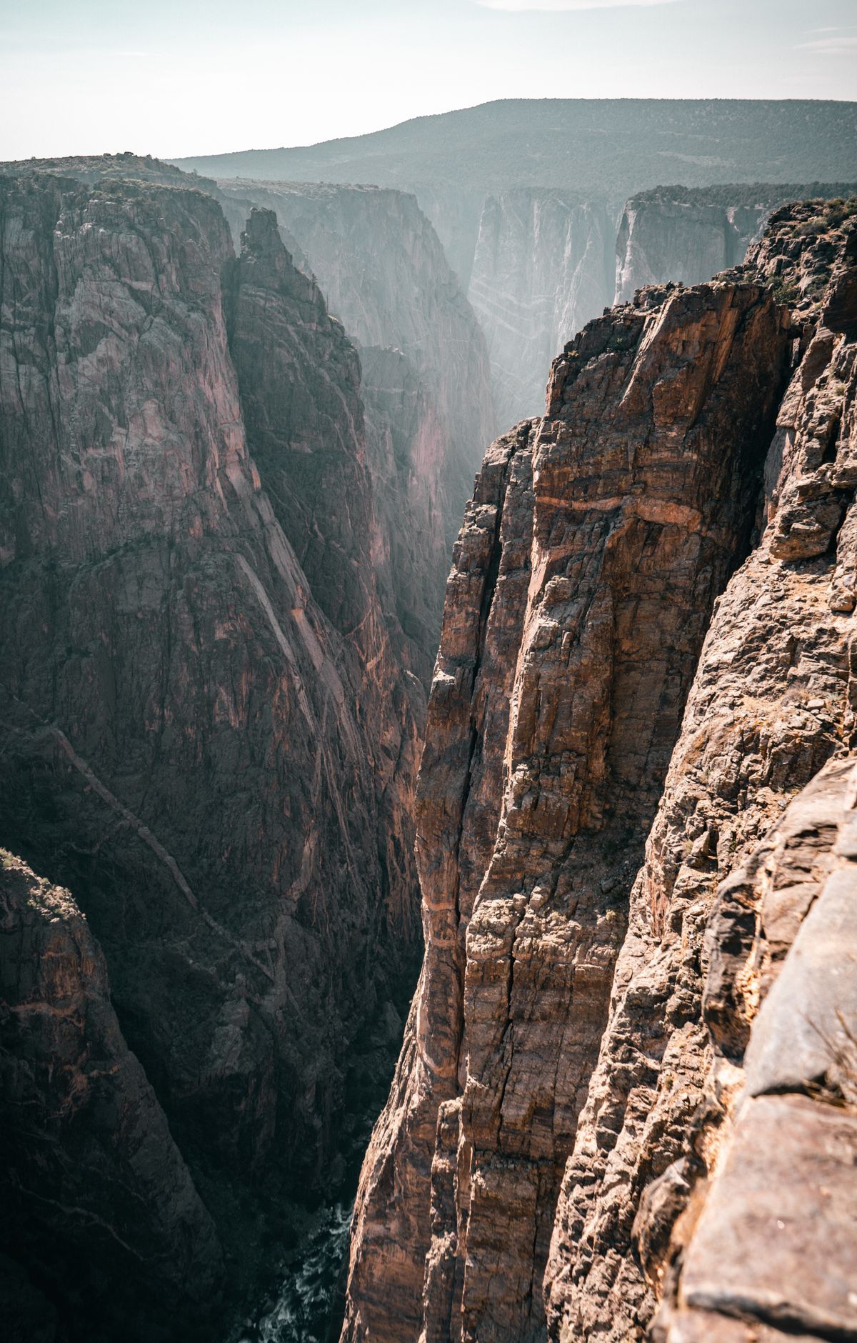
The Gunnison River carved this gorge over two million years, leaving sheer cliffs, rock that ranks among the oldest on the continent, and jagged spires along its walls. The canyon divides the park into a North Rim and a South Rim, and no road or bridge links the two inside the park. The South Rim Drive is a 7-mile paved scenic road with 12 overlooks. Visitors can hike the rim trails or go below the rim on a more demanding adventure. Ranger programs run through the year, and two campgrounds offer everything from full facilities to primitive sites. Kayaking the Gunnison River is for experts only, since its rapids are class V and some sections cannot be run.
Park Areas
All areas →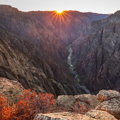
North Rim
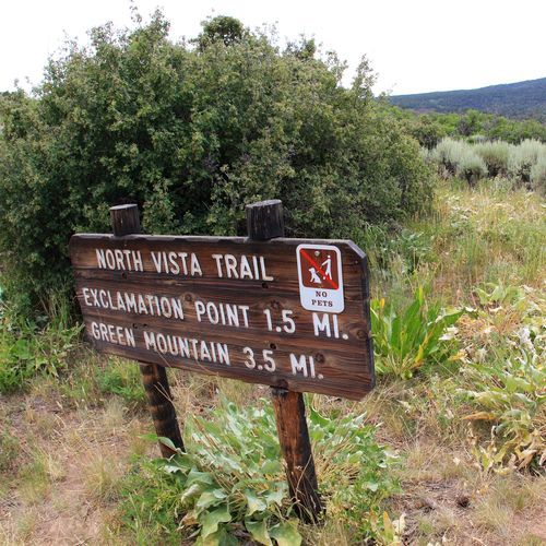
The North Rim is rugged and primitive, with limited services. Its canyon walls are nearly vertical, and the unpaved North Rim Road links six overlooks along the rim, so allow two to three hours. The North Vista Trail starts at the ranger station and climbs through pinyon and juniper forest to Exclamation Point, where the inner canyon comes into view, and continues on to Green Mountain for wider views. The Chasm View Nature Trail starts at the end of the North Rim Campground loop and leads to an overlook high above the river. The North Rim Campground can serve as a base camp. The Deadhorse Trail begins at Kneeling Camel Overlook and follows an old service road past views toward East Portal. Overlooks far from the road, such as Kneeling Camel Overlook, are good for stargazing.
South Rim
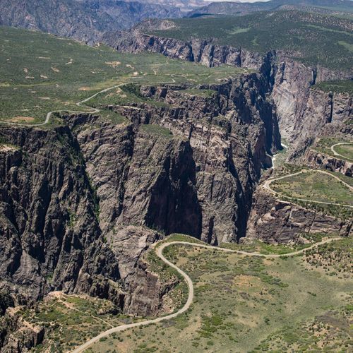
The canyon's steep cliffs and ancient rock are on full display from the South Rim. South Rim Drive is a paved road that follows the edge for 7 miles from Tomichi Point to High Point, with 12 scenic overlooks, most reached by a short walk. Chasm View, Pulpit Rock and Sunset View are handicap-accessible, and Painted Wall rewards anyone with limited time. The South Rim Visitor Center at Gunnison Point offers exhibits on the canyon. Rim Rock Trail is a relatively flat, self-guided walk past sagebrush, Gambel oak and pinyon pine, with views of the Gunnison River. In winter, the area beyond the visitor center is used for cross-country skiing and snowshoeing.
East Portal
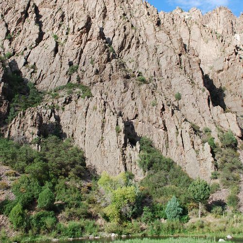
At the end of a steep, winding road, this spot puts you beside the Gunnison River, not above it. The drive down East Portal Road offers scenic views, and the paved two-way road has a 16 percent grade in places, so drivers should use low gear. No other road reaches the river from the rim. Vehicles over 22 feet, trailers included, cannot use the road, which makes tent camping the practical choice at East Portal Campground. Wayside exhibits tell the story of workers who built the Gunnison Tunnel and people who lived here, and the Gunnison Diversion Dam is nearby. Rangers may lead guided walks in summer. Birders can spot river-loving species such as the American Dipper and the Common Merganser. Experienced visitors can enter the inner canyon, a designated wilderness that requires a permit.
Popular Hiking Trails
All trails →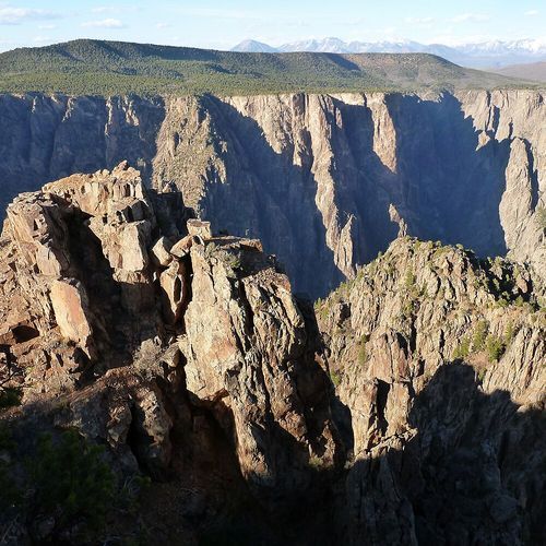
Warner Point Nature Trail
Moderate1.5 mi
North Vista Trail
Moderate6.7 mi
Painted Wall View Trail
Easy0.2 mi
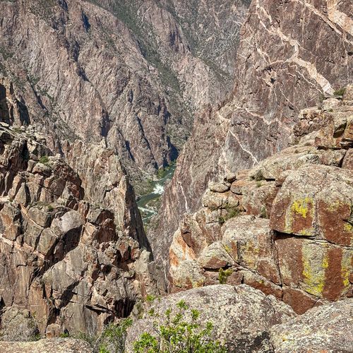
Cedar Point Nature Trail
Easy0.3 mi
Warner Route
Moderate4.3 mi
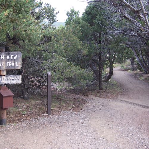
Chasm View Trail
Easy0.5 mi
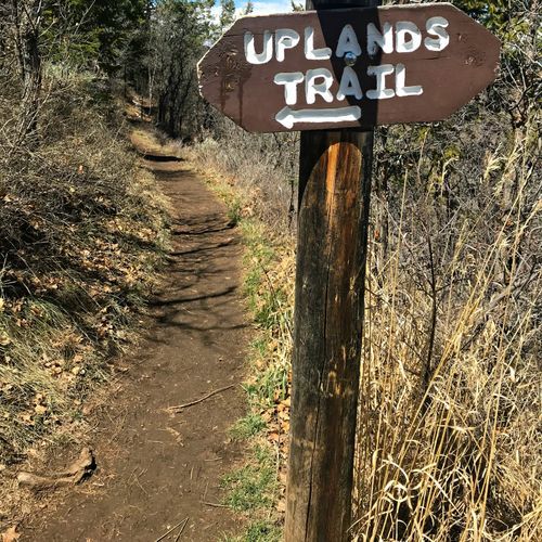
Uplands Trail
Easy1.9 mi
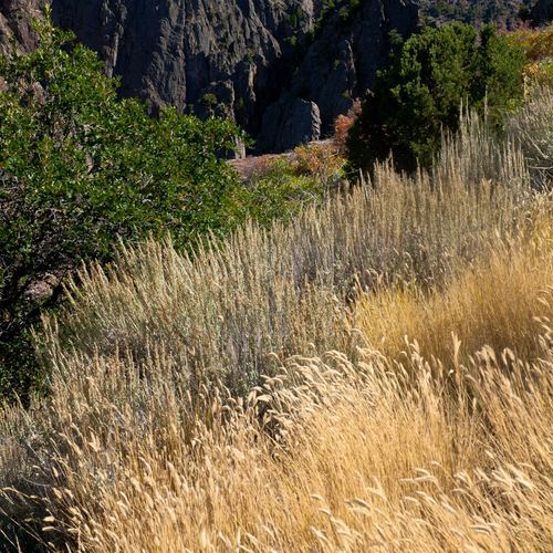
Rim Rock Nature Trail
Easy1.7 mi
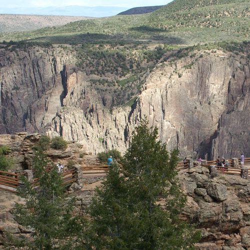
Gunnison Route
Moderate1.6 mi
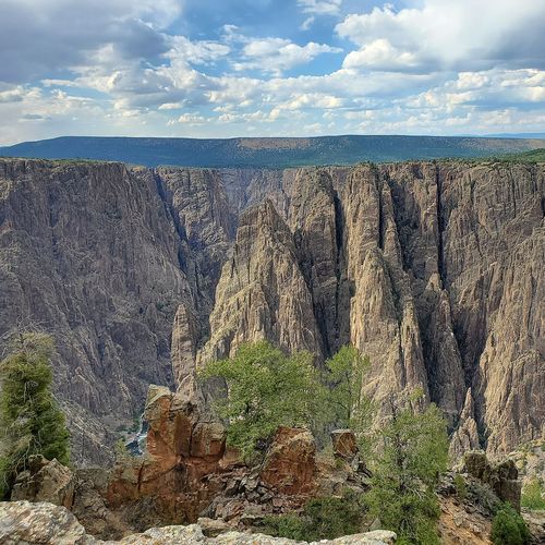
Oak Flat Loop Trail
Easy1.2 mi
Visitor Centers
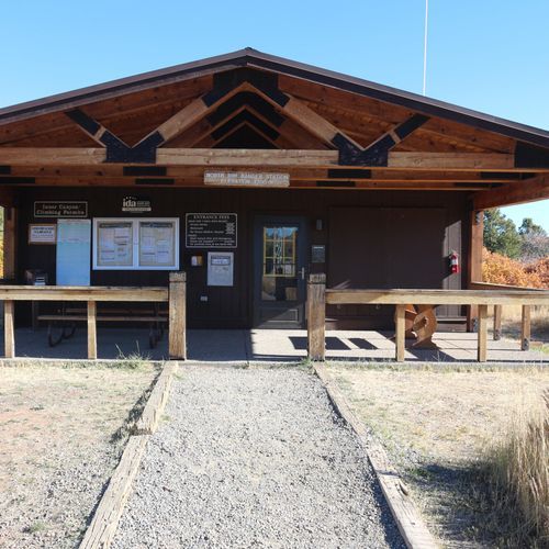
North Rim Ranger Station
All Day
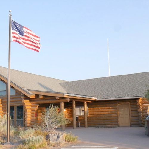
South Rim Visitor Center
9:00AM - 4:00PM
Campgrounds
Camping guide →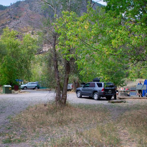
East Portal Campground
East Portal
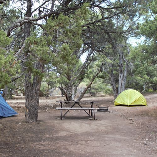
North Rim Campground
North Rim
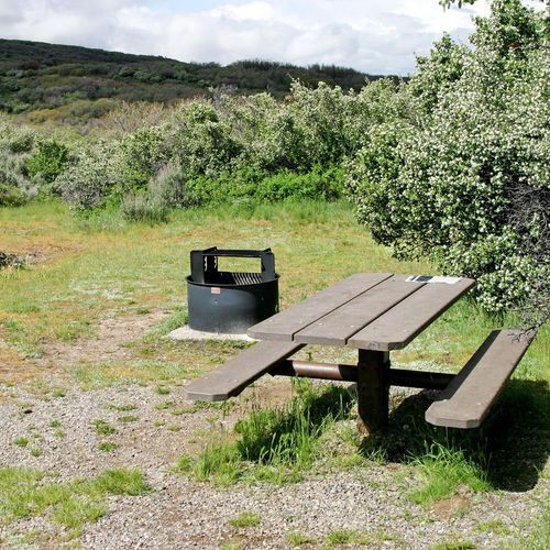
South Rim Campground
South Rim
About the Park
Park Areas
The North Rim of Black Canyon of the Gunnison National Park offers a quieter, more secluded experience with several short trails and overlooks, such as Narrows View, Balanced Rock View, Big Island View, and Kneeling Camel View. These spots provide breathtaking views of the canyon's sheer walls. The area is characterized by dirt roads and fewer amenities, creating a rugged, natural environment where wildlife, including mule deer and birds of prey, are frequently seen.
In contrast, the South Rim provides expansive views of the canyon's steep, dramatic cliffs and is more accessible, with developed facilities and a variety of scenic overlooks. Visitor-friendly trails, such as the popular Rim Rock Nature Trail, lead to stunning vantage points. The South Rim's accessibility and infrastructure make it a preferred option for visitors seeking convenience while exploring the canyon's unique geological features.
East Portal offers a unique perspective with calm access to the Gunnison River, contrasting with the park's dramatic cliffs. This area provides a rare opportunity to experience the canyon's depths, where the river's power is evident yet approachable. Fishing and picnicking are popular activities here, and unlike the park’s rim viewpoints, East Portal allows visitors to directly engage with the river environment, offering insight into the canyon's geological history.
Park Guides
All 11 guides →Two Rims, No Bridge: Planning Your Route
The canyon divides the park into two sides, and no bridge or road crosses it to connect the North and South Rims.
Winter on the Rim: Skiing and Closures
In winter, vehicles cannot go past the South Rim Visitor Center at Gunnison Point. When staff and snow allow, the road beyond is groomed for skate and classic cross-country skiing as well as snowshoeing, and it then becomes the South Rim Ski and Snowshoe Trail.
Painted Wall and Chasm View: The Canyon's Core
Painted Wall is the tallest sheer cliff in Colorado, rising 2,250 feet. Lighter-colored pegmatite dikes stand out clearly across its face.
South Rim Drive: Twelve Overlooks to High Point
South Rim Drive is a paved scenic road that follows the canyon rim for seven miles, running from Tomichi Point to High Point.
Inner Canyon Routes: Gunnison, Warner, Red Rock
Anyone who travels below the rim needs a Wilderness Use Permit. The inner canyon has no maintained or marked trails.
