
Virgin Islands National Park, located on the island of St. John in the U.S. Virgin Islands, is a tropical paradise that encompasses about 60% of the island along with 5,650 acres of submerged lands.
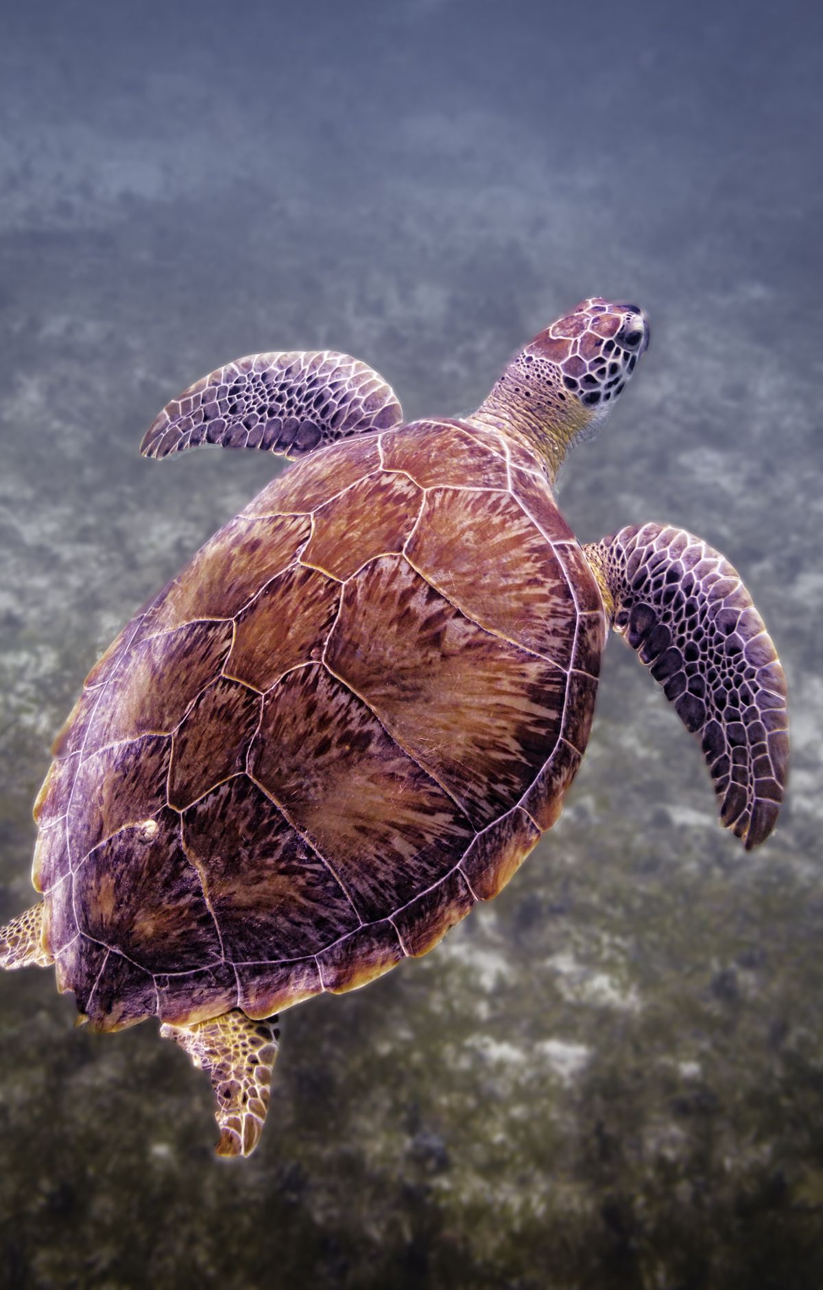
This park is renowned for its breathtaking beaches, vibrant coral reefs, and lush forests, offering a unique blend of marine and terrestrial environments to explore. The park's pristine waters are home to an incredible diversity of marine life, including colorful corals, sea turtles, and hundreds of species of fish, making it a prime location for snorkeling and diving.
On land, visitors can hike through tropical forests filled with exotic flora and fauna, discovering remnants of the island's historical plantations along the way. The park's cultural heritage is rich, with archaeological sites that provide insight into the lives of the pre-Columbian Arawak people, as well as ruins of sugar plantations from the colonial era, such as the Annaberg Sugar Mill. These historical sites narrate stories of the island's past economies and the transition from indigenous habitation through European colonization to modern day.
Virgin Islands National Park
Virgin Islands
Virgin Islands
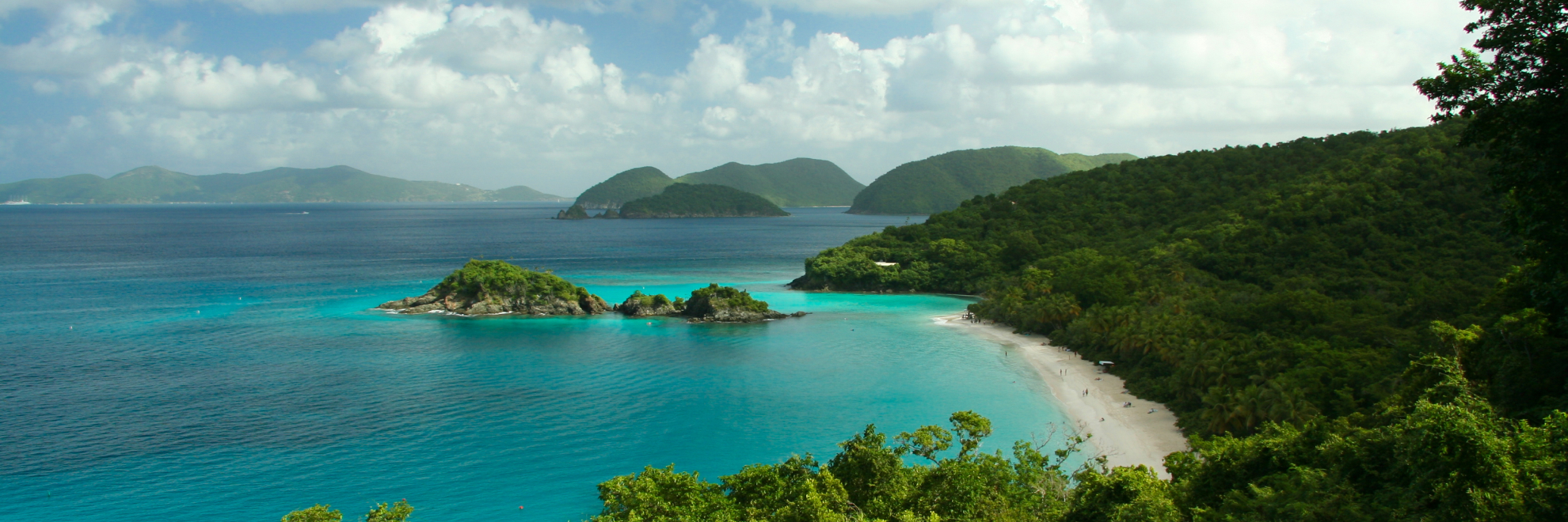
About 60% of St. John, in the U.S. Virgin Islands, is protected within the park, which stretches from hiking trails on the ridge tops down to white-sand beaches and the coral reefs offshore. Trunk Bay Beach is a popular stop, with an underwater snorkel trail. Snorkeling and scuba diving reveal coral reefs and marine life. Hikers can follow the Reef Bay Trail to see ancient petroglyphs left by the island's Indigenous people, and visit sugar plantation ruins such as Annaberg, which recall a past shaped by sugar production and enslaved labor. Visitors also go sailing, kayaking and windsurfing, or join day-sail charters and snorkeling tours run by private operators.
Park Areas
All areas →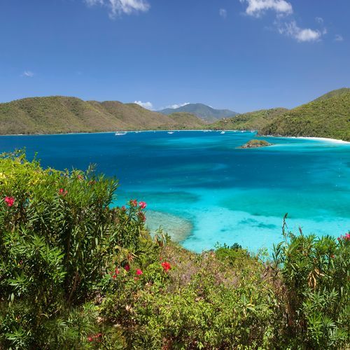
North Shore
The scenic drive on North Shore Road leads to the turn-out at Trunk Bay Viewpoint, one of the best views in the park and one of the easiest to reach. White-sand beaches line this coast, and the coral reefs just offshore invite snorkelers to explore. The Lind Point Trail leaves from just behind the visitor center and finishes at either Honeymoon or Solomon Bay, and along the way a bench lets you watch boats sail by. Salomon and Honeymoon Bays, two white-sand beaches, are a short hike from the road or reachable by boat. Cinnamon Bay has a boardwalk that takes visitors past historic ruins, and Annaberg Sugar Plantation has a path through its ruins as well.
South Shore
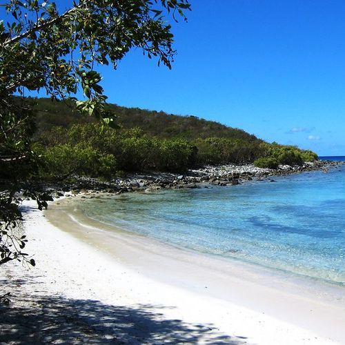
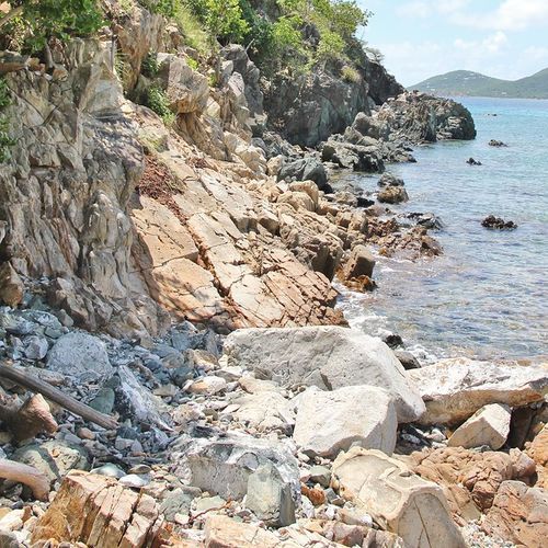
Dry, desert-like coastal cliffs set the South Shore apart, with cacti growing near the point at Ram Head. Salt Pond Bay is a long, curved beach where the sand slopes gently into the water, reached by a quarter-mile walk along an old road bed with only a slight grade. Visitors snorkel there, and hikers who continue along Ram Head Trail may spot whales or dolphins offshore. The 0.7-mile Tektite Trail starts with a moderately strenuous climb from Lameshur Road to scenic views atop the cliffs, passing through the same arid terrain. Little Lameshur Bay and Great Lameshur Bay are other spots worth a visit, and coral reefs offshore hold hidden marine life for snorkelers. Reef Bay Trail leads to ancient petroglyphs left by Indigenous people.
East End
Salt Pond Bay is known for its long, curved beach, which has a gentle slope into the water and suits visitors of every age. Reaching it is an easy hiking outing: a quarter mile along an old road bed with only a slight grade from the parking area. Snorkeling is a popular pastime here. For a longer walk, the Ram Head Trail continues past the beach to Ram Head Point, where cacti grow and the viewpoint looks out over the water. Keep an eye on the waters below, since whales and dolphins are sometimes seen from the point.
Central
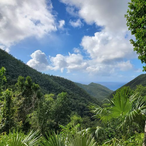
Hiking here doubles as a walk through the island's sugar history. The Cinnamon Bay Sugar Plantation ruins sit beside the path, and a wheelchair-accessible boardwalk winds through the old buildings, a reminder of a time when sugar crops and enslaved workers defined daily life. For a longer outing, the strenuous Cinnamon Bay Trail climbs uphill through shaded forest, where kapok and mammee apple trees mix with mango, genip and guava berry. A branch of roughly 0.38 miles leads to the America Hill great house ruins. Along the way, the leaves of bay rum trees are fragrant, and these trees were once the raw material for St John Bay Rum Cologne. The route reaches Centerline Road at its far end. For a different view, the Trunk Bay Outlook on North Shore Road looks over Trunk Bay.
Popular Hiking Trails
All trails →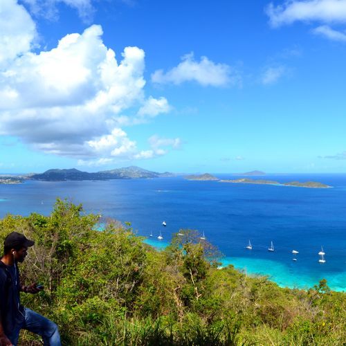
Caneel Hill Trail
Moderate2.1 mi
Lind Point Trail
Easy1.9 mi
Reef Bay Trail
Easy5.7 mi
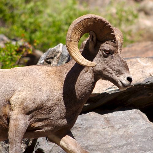
Ram Head Trail
Easy1.8 mi
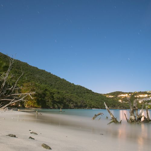
L'Esperance Trail
Moderate2.7 mi
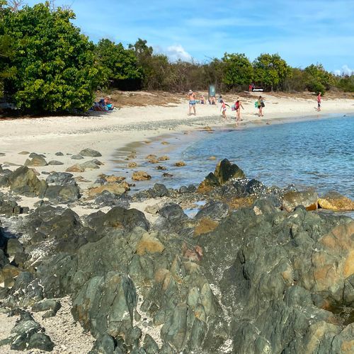
Saltpond Bay Trail
Easy1.1 mi
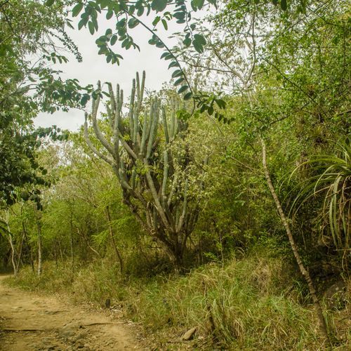
Johnny Horn Trail
Difficult3.8 mi
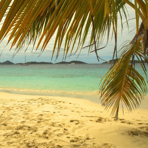
Yawzi Point Trail
Easy0.7 mi
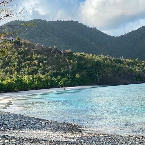
Francis Bay Trail
Easy0.5 mi
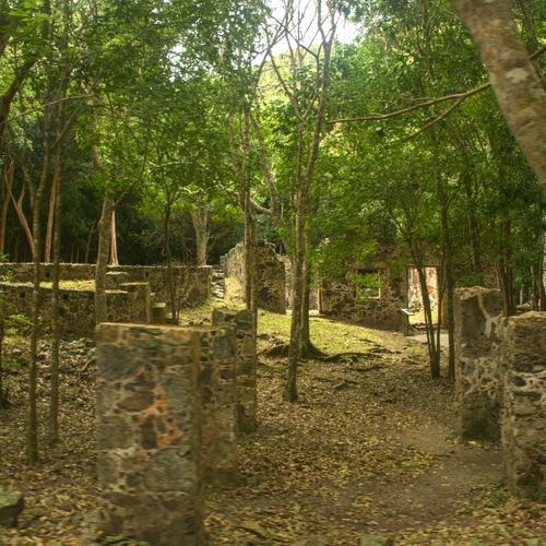
Cinnamon Bay Trail
Easy1.9 mi
Visitor Centers
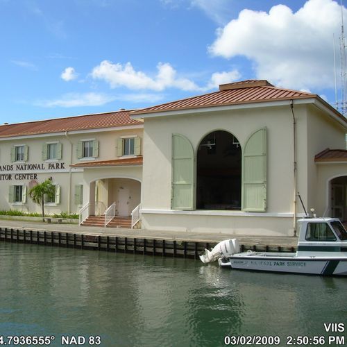
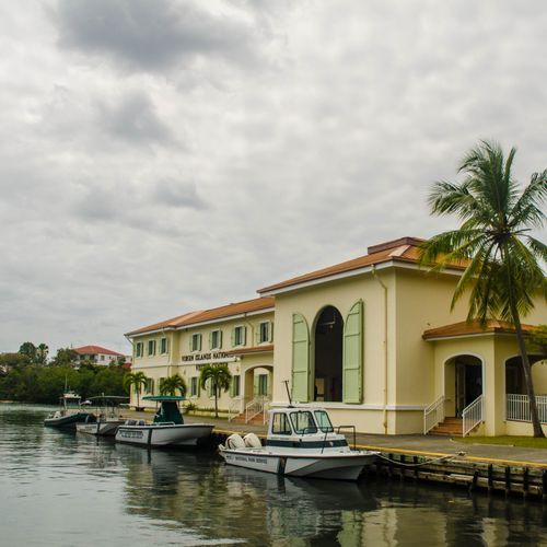
Cruz Bay Visitor Center
8:15AM - 1:30PM
Campgrounds
Camping guide →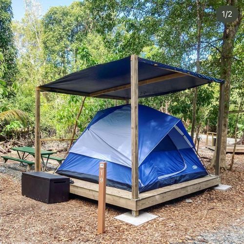
Cinnamon Bay Beach and Campground
North Shore
About the Park
Park Areas
The North Shore is a prime destination, renowned for its pristine beaches and vibrant coral reefs, making it a hotspot for snorkelers and swimmers. This area offers a unique coastal experience, contrasting with the park's dense forests and mountainous terrains. Visitors are drawn to Trunk Bay's underwater trail, celebrated for its clear visibility and rich marine life. The historical sugar plantation ruins add a layer of cultural depth to the natural beauty, enhancing its appeal. Its accessibility and diverse offerings make the North Shore a popular choice among visitors.
The South Shore is distinguished by its pristine beaches and clear waters, ideal for snorkeling and observing diverse marine life. It features tranquil hiking trails with scenic views of the Caribbean Sea and historical ruins that provide insight into the island's past. This area offers a quieter, more secluded experience, appealing to those seeking solitude and natural beauty.
The East End provides a serene environment with secluded beaches and clear waters perfect for snorkeling. Known for its rich cultural history, including remnants of early settlements, it offers a peaceful retreat for observing local wildlife and exploring unique landscapes.
The Central area is characterized by diverse hiking trails and historical ruins, offering a tranquil alternative to the bustling beaches. The Reef Bay Trail leads to petroglyphs and sugar plantation remnants, providing a deeper understanding of the island's cultural and natural history. Its varied terrain supports a wide range of wildlife, making it a favored spot for nature enthusiasts.
Park Guides
All 10 guides →Arriving via Cruz Bay and Driving Left
To get here, fly into Saint Thomas, then take a ferry to Cruz Bay on Saint John. Passenger boats leave from Red Hook or Charlotte Amalie, and vehicles board at Red Hook.
Trade Winds, Swells and Hurricane Season
Trade winds shape the weather here. The Tradewinds, also known as the Easterlies, carry air from east to west over the tropical Atlantic, and in winter they can blow between 11 and 21 knots.
North Shore Road Beaches: Trunk to Maho
North Shore Road runs along the island's north side, linking many of the park's best stops, including beaches and hiking trails.
Ridge to Reef: Corals, Turtles and Fish
Virgin Islands National Park protects 5,650 acres of submerged lands alongside its land area on Saint John.
Reef Bay Trail and the Taino Petroglyphs
The Reef Bay Trail is a strenuous hike that starts on Centerline Road and heads downhill for most of its length.
