
Canyonlands National Park, located in southeastern Utah, is a sprawling landscape of deep canyons, towering mesas, and stunning buttes carved by the Colorado River and its tributaries. This vast park encompasses over 337,000 acres divided into four distinct districts: Island in the Sky, The Needles, The Maze, and the rivers themselves, each offering unique experiences and adventures.
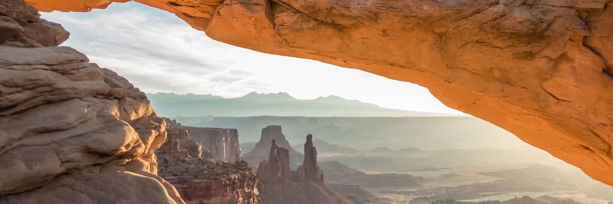
Island in the Sky, the most accessible section, provides panoramic overlooks at Grand View Point and dramatic vistas along the Mesa Arch trail. The Needles district features colorful spires of Cedar Mesa Sandstone that jut up from the ground like ancient petroglyphs. The Maze, known for its remote and rugged allure, challenges even the most skilled adventurers with its labyrinth of deep canyons and towering walls. The Green and Colorado rivers carve through the park's heart, creating spectacular backcountry opportunities for kayaking, canoeing, and rafting.
Human history in Canyonlands stretches back over 10,000 years, from early Native American inhabitants to Mormon pioneers and uranium prospectors. Visitors can view ancient rock paintings and carvings as they explore the park's trails, which range from leisurely walks to strenuous backcountry hikes.
Despite its harsh, desert environment, Canyonlands supports diverse ecosystems including hardy desert plants, and a range of wildlife from mule deer and bighorn sheep to hundreds of species of birds. Cryptobiotic soils, also known as biological soil crusts, are a critical component of the desert ecosystem in Canyonlands National Park. These soils are composed of living organisms, including cyanobacteria, lichens, mosses, green algae, microfungi, and bacteria. They form a crust on the soil surface which helps with stabilization and water retention. Cryptobiotic soils are very fragile and can be easily damaged by foot traffic, so it's important to stay on designated trails.
Canyonlands National Park
Utah
Utah
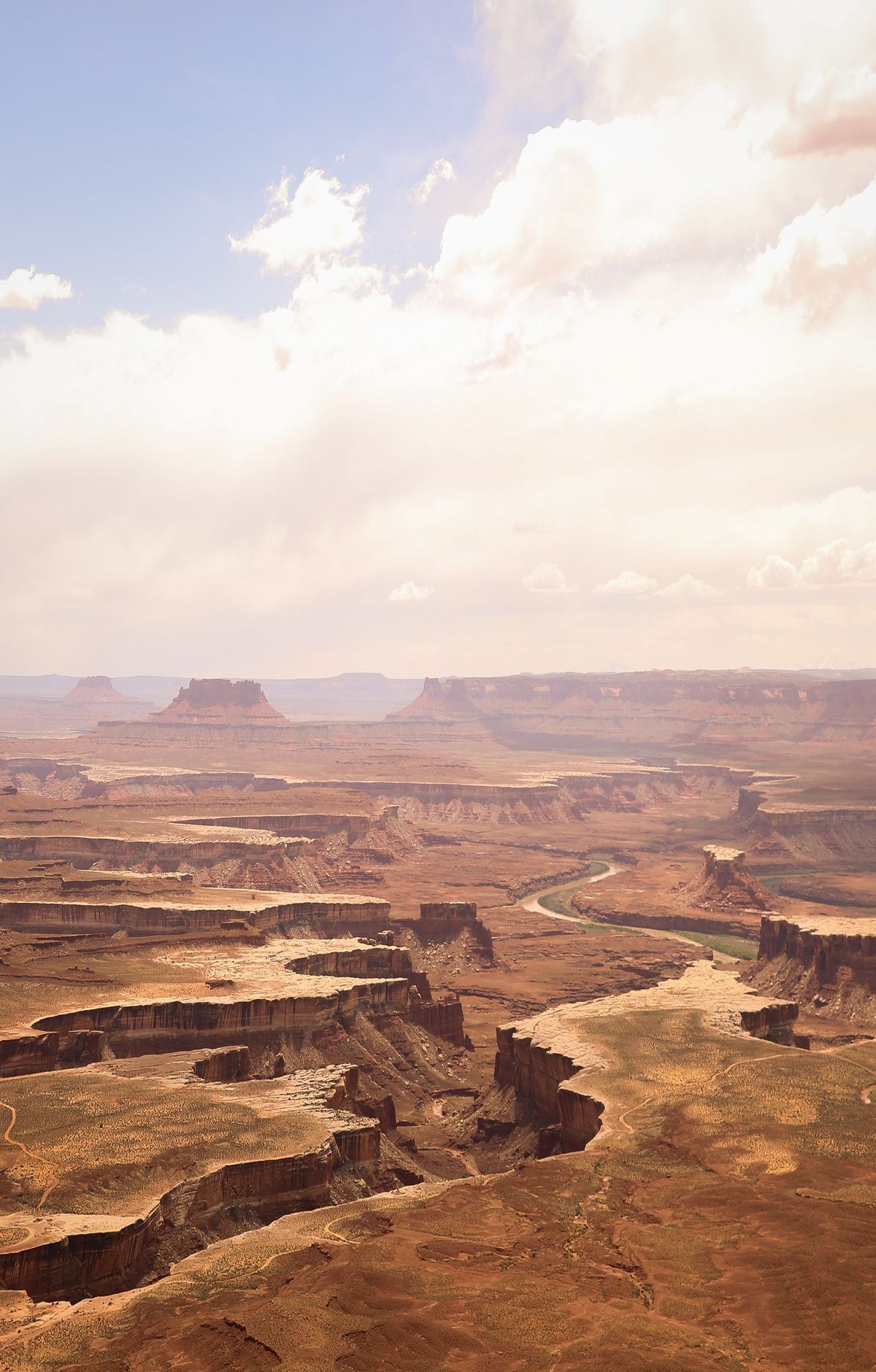
Canyons, mesas and buttes carved by the Colorado and Green rivers define this park in southeastern Utah. Its four districts are divided by the rivers, and each has its own character. Island in the Sky, the most visited district, offers overlooks and a mix of easy and difficult trails. The Needles has uniquely shaped sandstone spires and is a destination for hikers and backpackers. The Maze is a remote area best explored by four-wheel-drive vehicles. White Rim Road, a scenic route, draws mountain bikers and four-wheel-drive drivers. Visitors can go hiking and backpacking, or take flatwater and white water trips on the rivers. Archeological sites record more than 10,000 years of human presence and are protected.
Park Areas
All areas →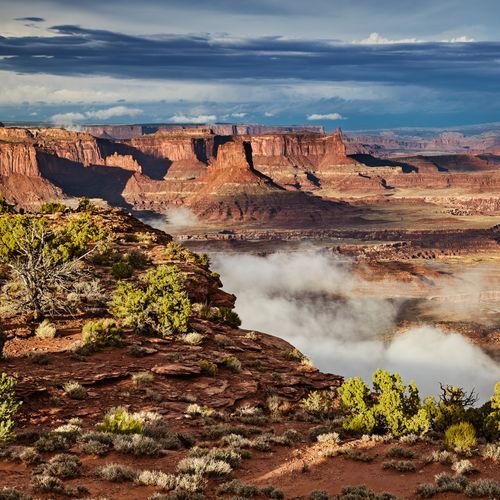
Island in the Sky
Set atop sandstone bluffs more than 1,000 feet over the surrounding country, this flat mesa lets visitors look down into canyons and the rivers that cut them. A 34-mile round-trip paved drive follows the rim, with pullouts at many overlooks, so it is possible to see much of the district in a short visit. Grand View Point is known for its sunset light, and Green River Overlook gazes across the river that helped shape the land. Hikers can pick from easy walks on the top or longer, tougher routes that drop toward the White Rim Road, a 100-mile road that circles below the mesa with wide views. Upheaval Dome, an unusual crater, is reached by a brief hike that takes real effort. Visitors can stop at the visitor center for displays, backcountry permit sales and water.
The Needles
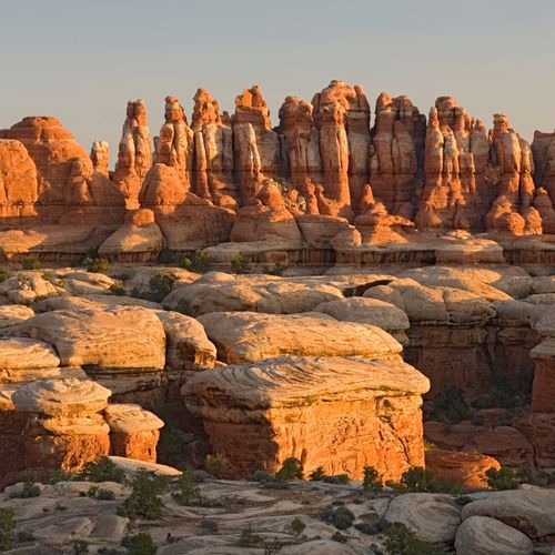
Colorful spires of Cedar Mesa Sandstone rise across this southeastern corner of the park and gave the district its name. Over 60 miles of interconnecting trails range from short walks to overnight routes, and backpackers can link canyons and mesa tops into loops. A three-mile trail from the Elephant Hill trailhead leads to a saddle overlooking Chesler Park, an open expanse of desert grasses and shrubs. Confluence Overlook looks down on the meeting of the Colorado and Green rivers and can be reached on foot or by four-wheel-drive vehicle. About 50 miles of challenging backcountry roads serve campsites, trailheads and cultural sites, including Tower Ruin, an ancient Puebloan structure. Prehistoric pictographs appear along several trails. Four short self-guided trails line the 13-mile scenic drive, and the campground amphitheater hosts evening and night sky ranger programs.
The Maze
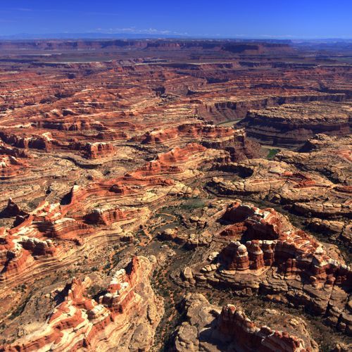
This is the least accessible district of the park, and reaching it takes more time than elsewhere. Difficult roads and trails mean visitors must bring the right equipment and be ready for self-rescue. Four-wheel-drive roads are extremely remote and should not be tried by inexperienced drivers. Backpacking here is primitive, and many canyons look alike without a topographic map. Routes drop through deep canyons, past steep slickrock and pour-offs, so basic climbing skills help. The Maze Overlook Trail descends steeply from the overlook to a wash bottom. Landmarks include the Chocolate Drops, a series of sandstone mesas rising above the land around them, and The Doll House. Hans Flat Ranger Station sells maps and books and can tell you about the reliable springs in the canyons.
The Rivers
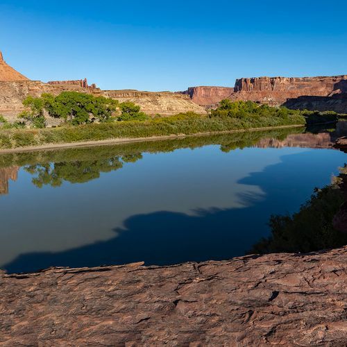
The Colorado and Green Rivers have cut deep canyons into layered sandstone, and the view from the water is quite different from the view above. Upstream of The Confluence, the current slows and the channels open into flatwater for canoes and kayaks. Below that meeting point, the joined river drops into Cataract Canyon, a fourteen-mile run of whitewater rated Class III to V and well suited to rafting. Boats put in at Green River State Park, Ruby Ranch or Mineral Bottom on the Green, and at the Potash or Moab ramps on the Colorado. Vehicles cannot reach the river near The Confluence or inside Cataract Canyon. Trips through these stretches typically involve several nights of riverside camping. Outfitters in the area run guided floats that last from half a day to a week.
Horseshoe Canyon
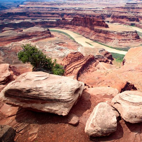
Tucked into a very small section north of The Maze, this canyon holds some of the most significant pictographs in North America. The Great Gallery, its best-known panel, shows well-preserved, life-sized figures decorated with intricate designs. Reaching it means a strenuous round trip of about seven miles, with a steep descent at the start and a steep climb at the end, over rocky ground and deep sand. Rangers lead hikes here, and riders can bring horses or mules, though animals must stay in the wash bottom and cannot be ridden up to the rock art. Sheer sandstone walls rise above an intermittent stream lined with mature cottonwood groves, and spring wildflowers brighten the canyon floor. A four-wheel-drive road to the east rim starts at the Hans Flat Ranger Station, where horse permits are obtained.
Popular Hiking Trails
All trails →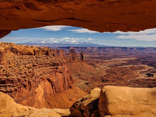
Mesa Arch Loop
Easy0.7 mi
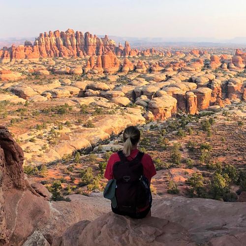
Chesler Park Trail
Difficult10.2 mi
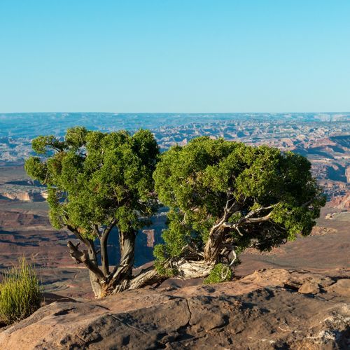
Murphy Point Trail
Easy3.3 mi
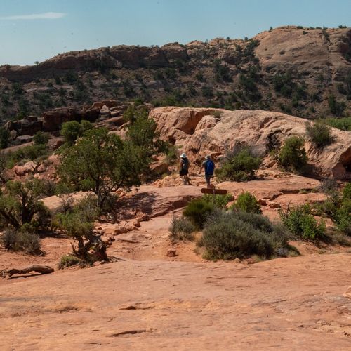
Syncline Loop Trail
Difficult7.8 mi
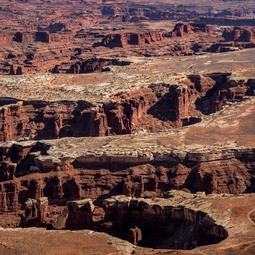
Grand View Point Trail
Easy1.8 mi
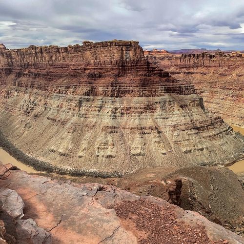
Confluence Overlook Trail
Difficult9.8 mi
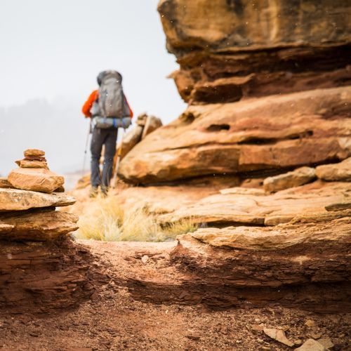
Lost Canyon Trail
Moderate8.2 mi
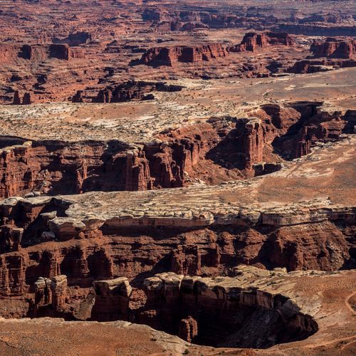
Cave Spring Trail
Easy0.6 mi
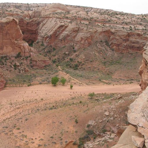
Horseshoe Canyon Trail
Difficult5.1 mi
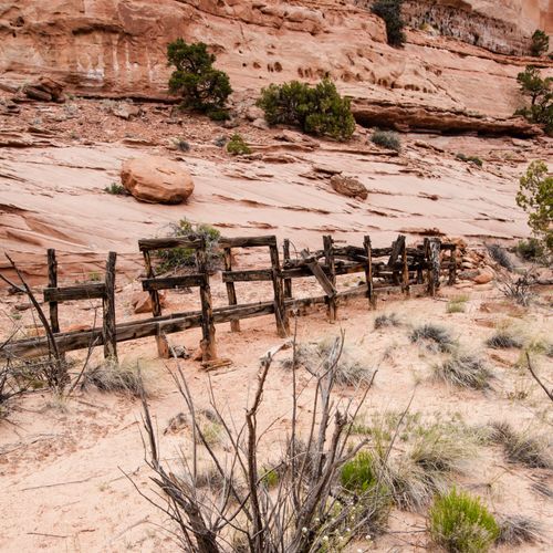
Neck Spring Trail
Moderate5.6 mi
Visitor Centers
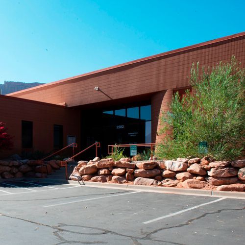
Canyonlands Backcountry Office
8:00AM - 4:00PM
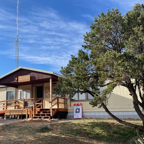
Hans Flat Ranger Station
8:00AM - 3:00PM
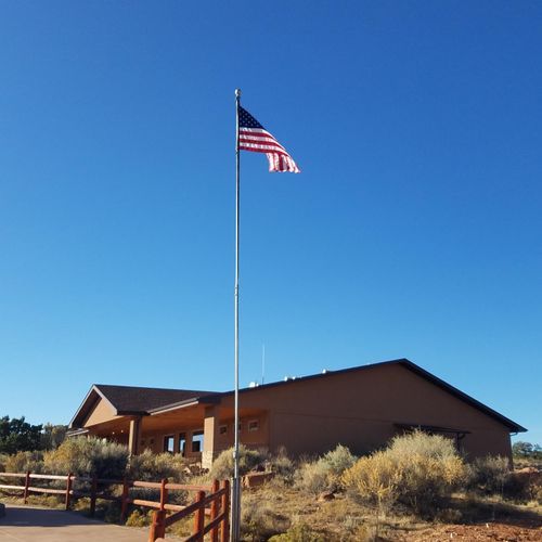
Island in the Sky Visitor Center
8:00AM - 5:00PM
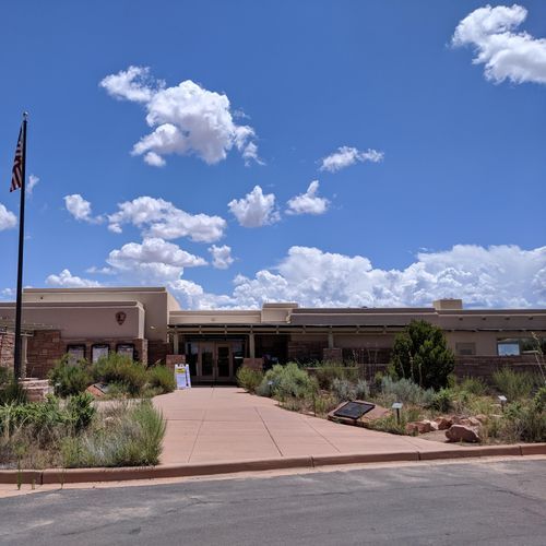
The Needles Visitor Center
8:00AM - 5:00PM
Campgrounds
Camping guide →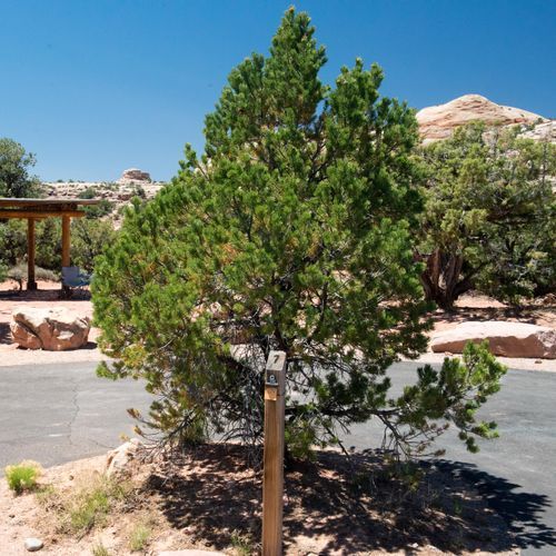
Island in the Sky (Willow Flat) Campground
Island in the Sky
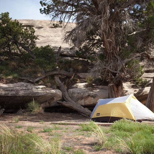
The Needles Campground
The Rivers
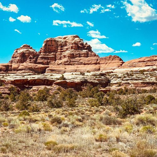
The Needles District Group Campsites
The Rivers
About the Park
Park Areas
Island in the Sky is the most accessible area in Canyonlands National Park, featuring expansive views from its elevated mesa. Visitors can easily reach popular viewpoints like Grand View Point and Mesa Arch via paved roads. The region's flat-topped mesas contrast with the park's rugged canyons, and the White Rim Trail offers adventurous driving and biking opportunities with dramatic cliffs and switchbacks.
The Needles district is known for its colorful sandstone spires and unique rock formations, including entrenched canyons, natural arches, and sheer-walled cliffs. It offers extensive hiking trails for various skill levels, providing a more intimate experience than Island in the Sky. The area is rich in cultural history, with numerous petroglyphs and ancient dwellings, and features diverse ecosystems, making it ideal for geology and history enthusiasts.
The Maze provides a remote and challenging experience, requiring advanced navigation skills due to its scarce marked trails and intricate network of canyons. Its isolation offers a chance to witness unspoiled landscapes and ancient rock art, appealing to those seeking a rugged and immersive adventure.
The Colorado and Green Rivers carve majestic canyons, offering a unique perspective with opportunities for white-water rafting and serene paddle trips. The river corridors support lush vegetation, creating diverse ecosystems, and the confluence of these rivers is a notable geological attraction.
Horseshoe Canyon, though remote, rewards visitors with solitude and significant rock art, including the Great Gallery's life-sized pictographs. Its archaeological significance and unique beauty make it a compelling destination for those willing to make the effort to access it.
Park Guides
All 12 guides →Desert Extremes: Best Seasons for Canyonlands
Canyonlands sits on the Colorado Plateau, a high desert where temperatures can swing by more than 40 degrees in a single day.
Island in the Sky Overlooks Tour
The mesa top of Island in the Sky rests on sheer sandstone cliffs more than 1,000 feet above the land around it.
Driving the White Rim Road
Running 100 miles of dirt, the White Rim Road circles beneath the Island in the Sky mesa. The route follows cliff edges and passes canyons the Colorado and Green Rivers have cut.
Floating the Green and Colorado Rivers
The Green and Colorado Rivers sliced two deep gorges into the layered sandstone at the heart of Canyonlands.
Stargazing in an International Dark Sky Park
A moonless night over the Colorado Plateau can be dark enough to catch many visitors off guard.
