
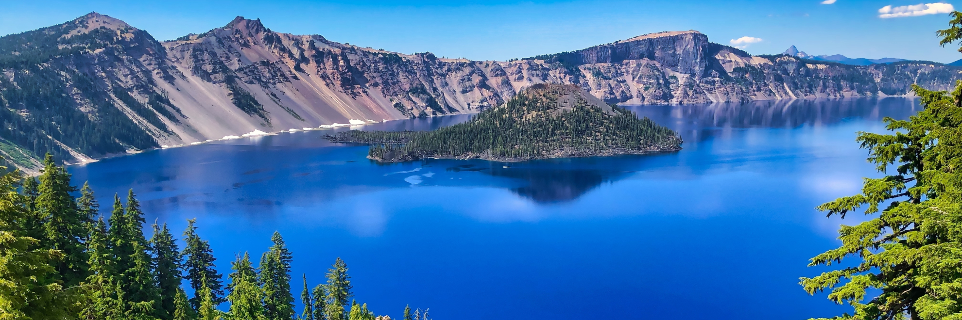
Crater Lake National Park, located in the Cascade Mountains of southern Oregon, is renowned for its stunning deep blue lake and surrounding cliffs. The lake itself is the deepest in the United States and one of the clearest and purest bodies of water in the world. Formed about 7,700 years ago by the collapse of the volcano Mount Mazama, Crater Lake has no rivers flowing into or out of it. Its level is maintained solely by rain and snowfall, making it a pristine natural reservoir.
Visitors to Crater Lake National Park can explore the Rim Drive, a 33-mile scenic route that encircles the lake, offering overlooks with spectacular views. The park also features more than 90 miles of hiking trails which meander through ancient forests and alpine meadows. Wizard Island, a cinder cone volcano that rises from the lake's surface, is a popular destination for boat tours and hiking.
In addition to its natural beauty, Crater Lake National Park supports diverse ecosystems and is home to a variety of wildlife including black bears, elk, and bald eagles. The park's history is also rich with Native American culture, particularly the Klamath Tribe who revered Crater Lake as a spiritual site. Today, the park offers not only a haven for nature lovers but also an insight into geologic and human history. Whether enveloped in the deep snows of winter or basked in the floral displays of summer, Crater Lake continues to awe with its vivid colors and profound depths.
Crater Lake National Park
Oregon
Oregon
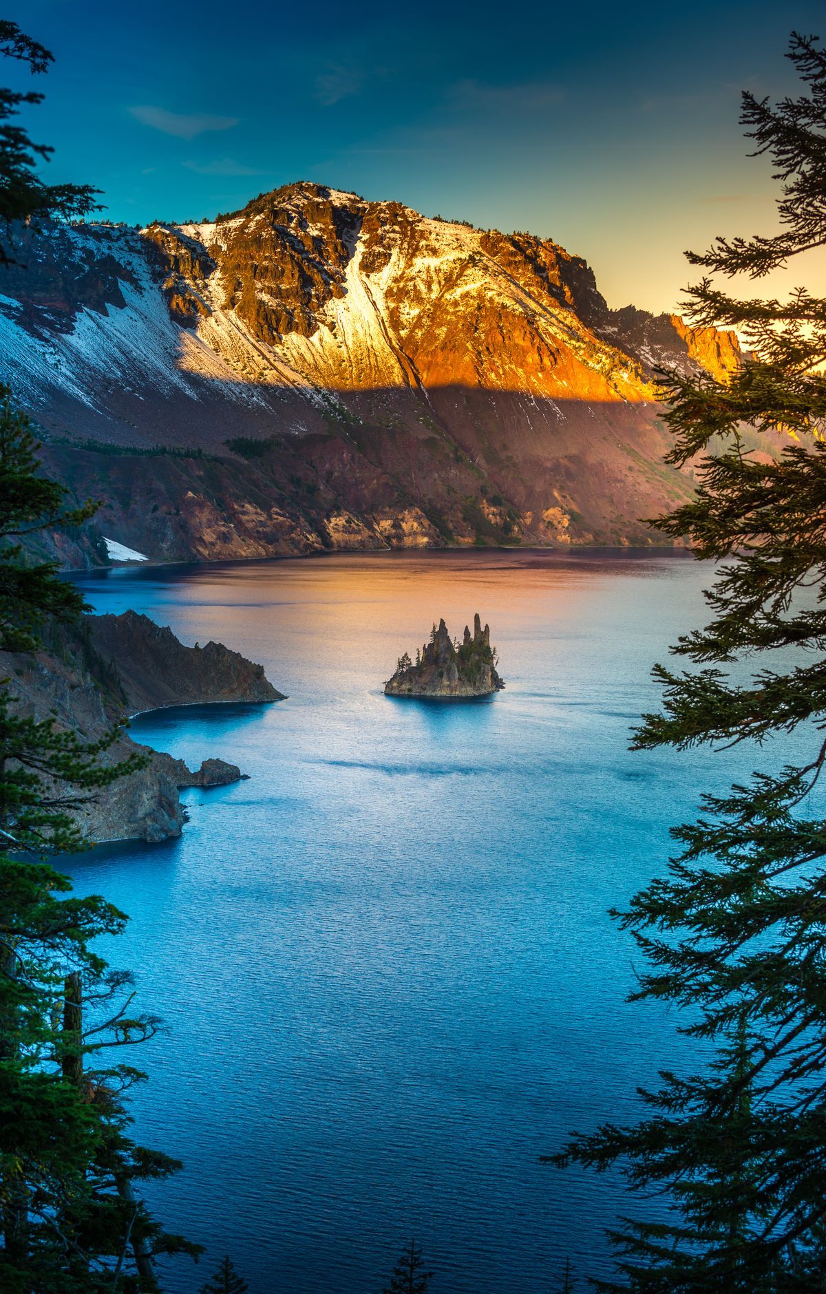
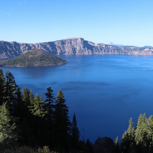
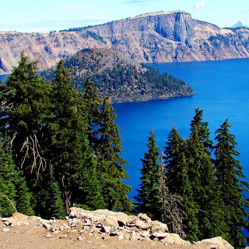
Crater Lake is the deepest lake in the United States, and its blue water fills a caldera left when Mount Mazama collapsed about 7,700 years ago. Only rain and snow feed the lake, which gives it remarkable clarity. The 33-mile Rim Drive circles the rim with views from about 30 overlooks. The Sinnott Memorial Observation Station is a stone overlook that blends into the caldera walls. About 90 miles of trails wind through forests and climb to peaks with lake views. Popular hikes include the Garfield Peak Hike along the south rim and the Watchman Peak Trail, which ends at a historic fire tower. From several overlooks, Wizard Island rises from the water and draws the eye.
Park Areas
All areas →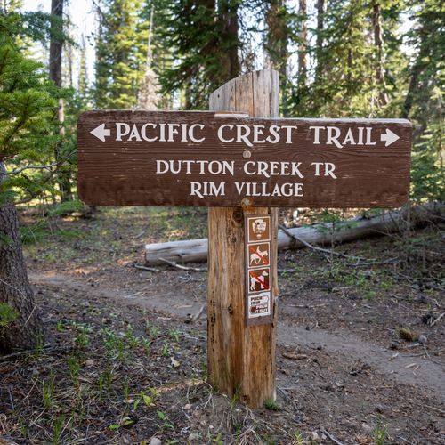
Rim Village
Built around a historic district of native stone and log buildings, this village sits on the caldera rim with views onto the lake. The Rim Village Promenade follows a native stone parapet wall for about a third of a mile, with three observation bays along the edge. Nature and art shaped the rustic architecture, and walkways trace natural plantings. The Community House is the oldest structure the National Park Service built in the park. Sinnott Memorial Overlook, the most popular viewpoint, was designed as a trailside museum with exhibits on the geology of Mount Mazama. The historic Crater Lake Lodge overlooks the water, and the Rim Visitor Center occupies the historic Kiser Studio. Visitors can take a self-guided walk or join a ranger program, including Junior Ranger activities for kids.
Cleetwood Cove
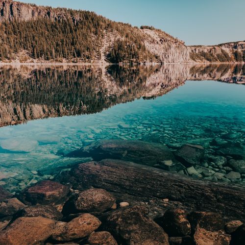
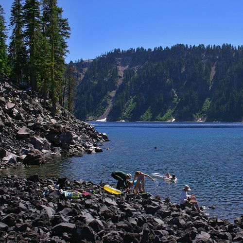
The Cleetwood Cove Trail is the only legal way to reach the shoreline of the lake, and visitors use it to swim, wade and fish. Over roughly 1.1 miles, the path drops about 700 feet in long switchbacks, so the descent is steep and strenuous, and the climb back is the harder part. Loose crushed pumice covers the surface and turns slippery when dry, so sturdy shoes and trekking poles help. The bottom offers no sandy beach, only boulders along the water's edge. Concession-run boats leave from the Cleetwood Marina dock for loops around the lake, with a call at Wizard Island where riders can get on and off. Toilets are available both up at the parking area and down by the water. Cloudcap Overlook, also on the rim, is a convenient stop before or after the hike.
Mazama Village
Set among old-growth lodgepole pines near the south entrance, this village pairs lodging with camping. Ten cabins, each holding four private rooms, have a rustic exterior but feel like a contemporary inn inside. At Mazama Campground nearby, trees overhang most sites, and each one has a table for meals, a ring for campfires, and a locker for bear-safe food storage. The Mazama Village Store carries groceries, camping supplies and firewood, while a restaurant, a cafe and an amphitheater are close by. The upper stretch of the Annie Creek Canyon Trail begins at the campground amphitheater and runs wide and nearly level, though roots and rocks may be underfoot. The drop into the canyon is steep, yet the view from the top is excellent.
Wizard Island
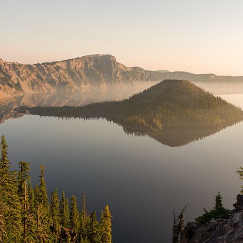
A small cinder cone volcano rising from the water, Wizard Island is reached by boat. A shuttle leaves from Cleetwood Cove, the only place where a trail reaches the lake itself, and carries visitors across to the island for a few hours of exploring. From the summit, hikers get wide views of the lake, and visitors look down into the island's crater, the Witches Cauldron. Fumarole Bay is another spot to explore, and swimming and fishing are also options here. The return trip ends with the steep Cleetwood Cove Trail, a strenuous climb back up to the rim. From the rim itself, Watchman Peak and overlooks along Rim Drive give good views of the island.
Popular Hiking Trails
All trails →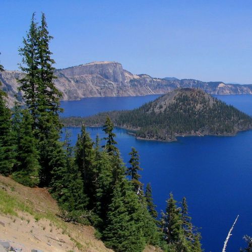
Wizard Island Summit Trail
Moderate2.2 mi
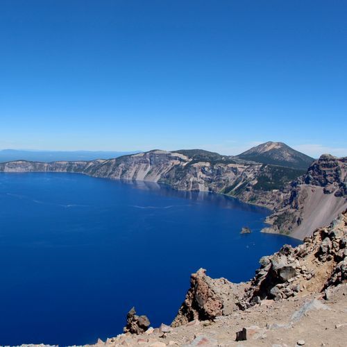
Garfield Peak Trail
Moderate3.5 mi
Watchman Peak Trail
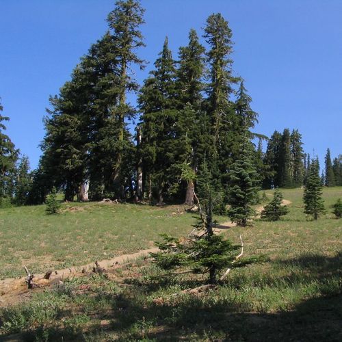
Moderate1.7 mi
Mount Scott Trail
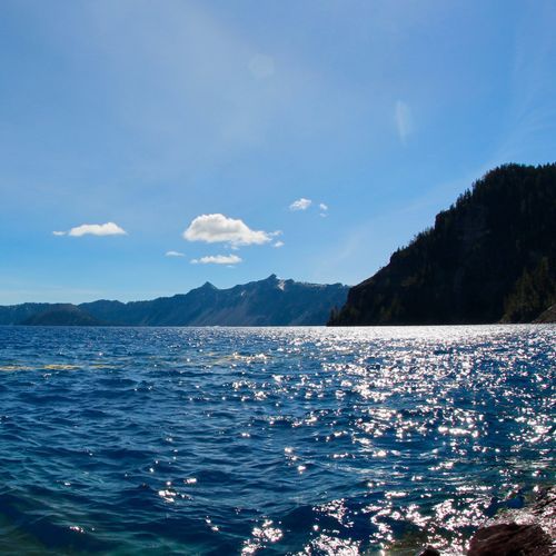
Moderate4.4 mi
Cleetwood Cove Trail
Easy1.9 mi
Fumarole Bay Trail
Easy1.5 mi
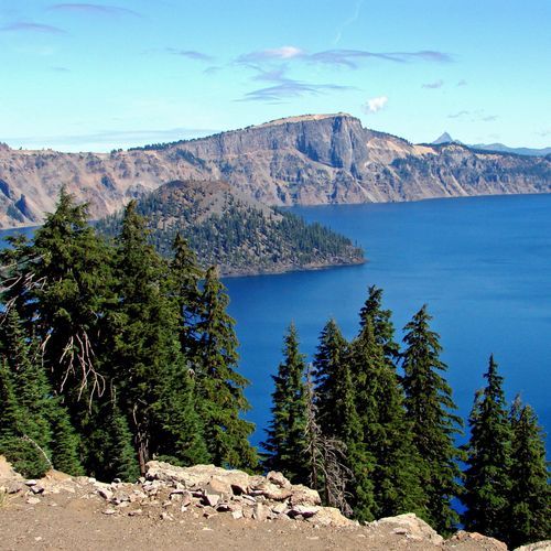
Bald Crater Loop Trail
Difficult12.4 mi
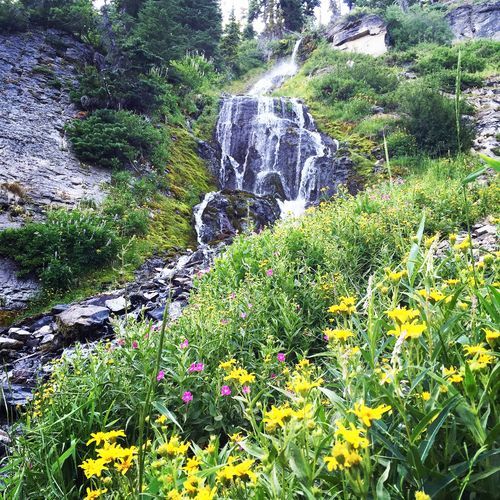
Grayback Road
Difficult8.1 mi
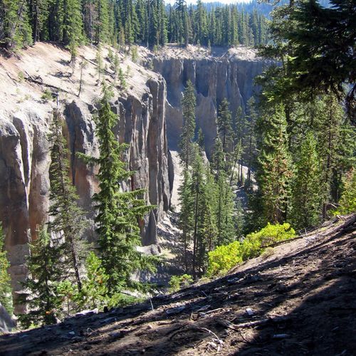
Godfrey Glen Trail
Easy1.1 mi
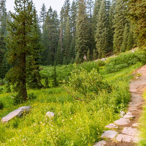
Lady of the Woods Trail
Easy0.7 mi
Visitor Centers
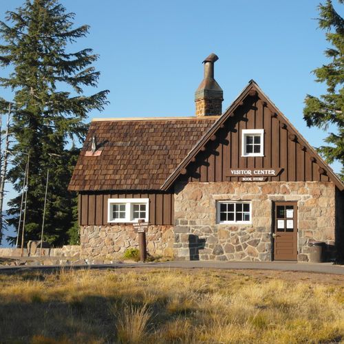
Rim Visitor Center
9:30AM - 5:00PM
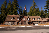
Steel Information Center
9:00AM - 5:00PM
Campgrounds
Camping guide →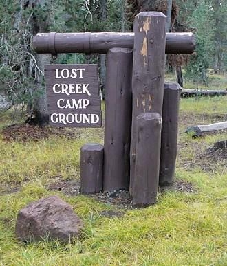
Lost Creek Campground
Rim Village
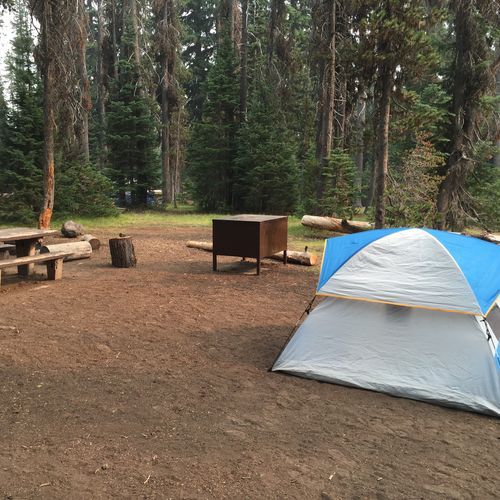
Mazama Campground
Mazama Village
About the Park
Park Areas
Rim Village is the primary hub for visitors, offering essential services such as a visitor center and dining facilities. It provides a strategic vantage point for observing the caldera and Crater Lake, with easy access to several trails, including the scenic Rim Promenade. The area is known for its historic architecture and serves as a popular starting point for first-time visitors due to its accessibility and development.
Rim Drive is a 33-mile scenic route encircling the lake, offering unparalleled views of the caldera and its deep blue waters. It provides access to numerous viewpoints and trailheads, allowing for comprehensive exploration by car. Open seasonally from late June through October, Rim Drive is noted for its geological features and panoramic vistas.
Cleetwood Cove is the only legal access point to the waters of Crater Lake. Visitors can hike the steep 1.1-mile Cleetwood Trail to the cove, where boat tours explore Wizard Island. Unique to this area is the opportunity for swimming in the lake, making it a focal point during the summer.
Mazama Village, located near the park's southern entrance, offers camping and dining amenities, serving as a convenient base for exploring the park. It is a hub for educational programs, providing insights into the area's geological and ecological significance.
Wizard Island, accessible by boat tours, features a volcanic cinder cone with unique geological formations. It offers a 2.2-mile trail to the summit, allowing exploration of its crater and Fumarole Bay.
Munson Valley houses the park's headquarters and visitor services, offering a unique perspective of the lake's rim. It remains accessible during winter, providing snowshoeing opportunities and seasonal ranger-led programs.
Park Guides
All 12 guides →Crater Lake's Short July-to-September Window
July through mid-September is when most visitors come, and roads and trails are clear of snow then.
41 Feet of Snow: Crater Lake Winters
Crater Lake receives an average of 41 feet of snow each year, carried in by storms that roll off the Pacific Ocean.
Rim Drive's 33-Mile Loop of Overlooks
Rim Drive runs 33 miles along the caldera and passes 30 historic overlooks. Each one was planned to frame a particular view, whether a stretch of the lake, a geologic formation, or a subalpine meadow.
Cleetwood Cove: The Only Way to the Shore
Cleetwood Cove Trail is the sole legal path to the shore of Crater Lake, so it is the way to stand at the water's edge instead of viewing the lake from above.
Boat Tours and Fishing at Wizard Island
Boat tours on Crater Lake offer a view of the water from lake level. The concessioner Explor Crater Lake runs them daily through summer, and a ranger joins most trips.
