
Arches National Park hiking guide
Skyline Arch Trail
A 0.4-mile out-and-back with 34 ft of climbing in Devils Garden, rated easy.
Key facts
- Length
- 0.4 mi (0.7 km)
- Elevation gain
- 34 ft (10 m)
- Route type
- Out and back
- Difficulty
- Easy
- Area
- Devils Garden
- Highest point
- 5,200 ft
- Lowest point
- 5,168 ft
About Skyline Arch Trail
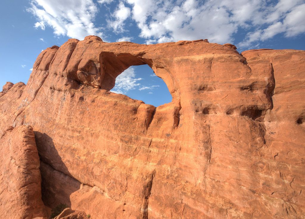
This short hike leads to a picturesque arch situated high on sandstone fins, providing spectacular views. The arch is notable for its recent geological history, having doubled in size due to a rockfall in 1940. Its proximity to the Devils Garden Campground makes it a convenient stop for those exploring the area.
Route map
This route was checked by Parka editors.
