Indiana Dunes National Park guide · 2 min read
How Lake Michigan Built the Indiana Dunes
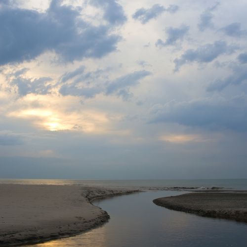
Lake Michigan has shaped this shore for thousands of years, and its changing levels are written into the land.
The story starts with the last Ice Age. More than 20,000 years ago, the Michigan Lobe of the continental glacier began pulling back to the north, and meltwater gathered into lakes that rose and fell as the ice gave ground.
Moraines, the ridges of debris the ice left behind, blocked meltwater from draining south. When a lake cut through a low point in one of them, its level fell and it left a new shoreline behind. The Valparaiso Moraine is the main glacial ridge in this area. The oldest shoreline still visible is a sand ridge that runs beside Ridge Road through Lake and Porter Counties. It is known as the Calumet Shoreline.
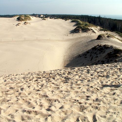
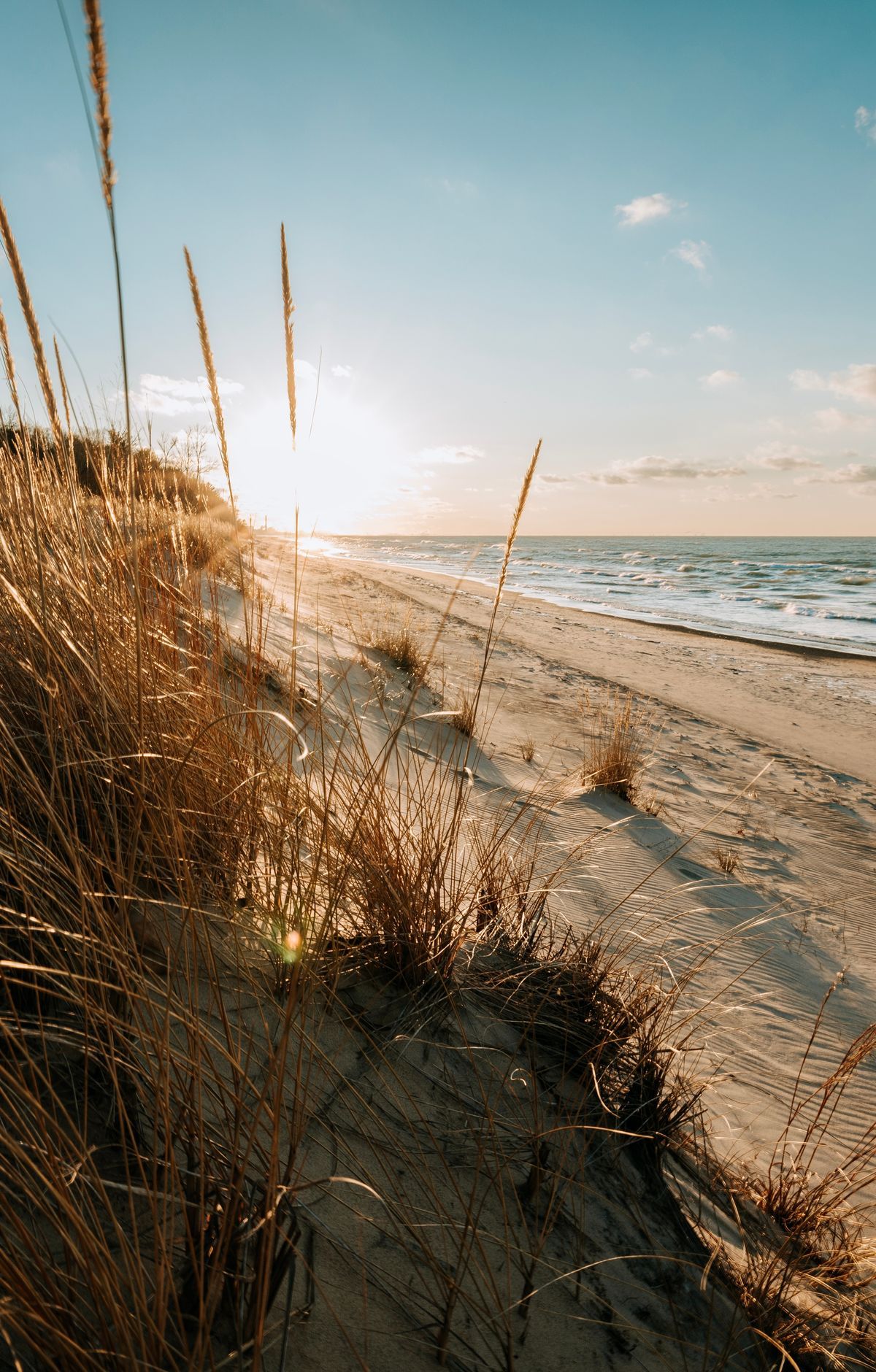
Much of the dune landscape is young. It was built up on the southern tip of Lake Michigan by wave erosion and wind erosion working on sand. Earlier lake levels, higher than today's, laid down beaches that now sit inland. Waves and currents still carry sand ashore from the lake bottom, and wind shapes it into the ridges and hollows visitors climb.
Not every dune has lasted. The Hoosier Slide was one of the largest dunes on this shore, and its sand was mined for glass making. Much of it was hauled to glass plants in Muncie. The dune was gone by 1920, and a power plant now stands where it was. Its disappearance was one reason people pushed to protect what remained.
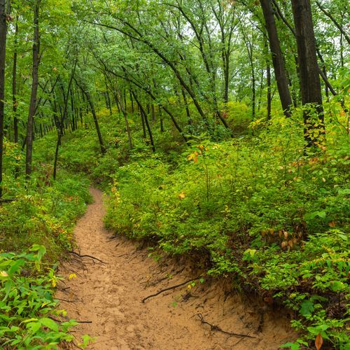
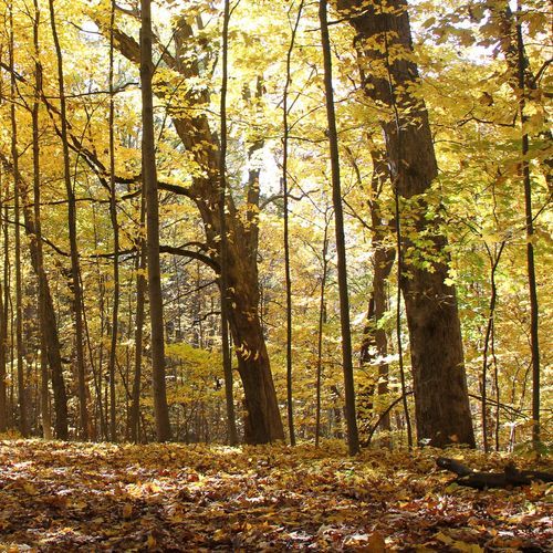
Today the park contains beaches, dunes, wetlands, bogs, prairies, oak savannas and forests, a patchwork of habitats that supports more than 1,100 kinds of flowering plants and over 350 types of birds. Trails cover more than 50 miles, and some also permit bicycles and horses. At Mount Baldy, tiny pebbles worn smooth by water are mixed into the sand underfoot.