Kenai Fjords National Park guide · 2 min read
Sinking Mountains and Drowned Fjords
The Pacific Plate is sliding beneath the North American Plate in a process called subduction, and that movement has shaped the land above it.
As the Pacific Plate goes down, the Kenai Mountains have been lowered over time. Glacial features that once stood on high ground are gradually being pulled down into the sea, which is rising at the same time.
The result is a coastline of drowned valleys. Glaciers carved long, steep-sided valleys that now run as deep inlets, and their floors lie between 600 and 1,000 feet below present sea level. Aialik Bay, Harris Bay, McCarty Fjord and Nuka Bay are among the most significant of these fjords.
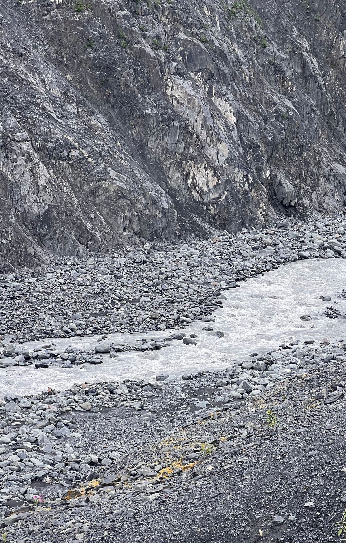
Much of the coastal rock did not originate here. The motion of the Pacific Plate has attached a variety of terranes to the shoreline, so the coast is a mix of rock that formed elsewhere and local igneous rock. Shale and graywacke are the most common rock types, along with greenstone, tuff and chert.
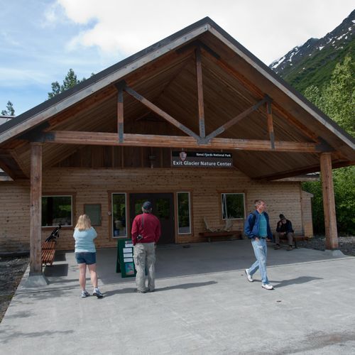
The Harding Icefield covers much of the interior and is one of four major ice caps in the United States. More than thirty glaciers flow from it, and it receives about 60 feet of snow a year. The 7.4-mile Harding Icefield Trail is one of the trails that begins at the Exit Glacier Nature Center, which is reachable by road from Seward.
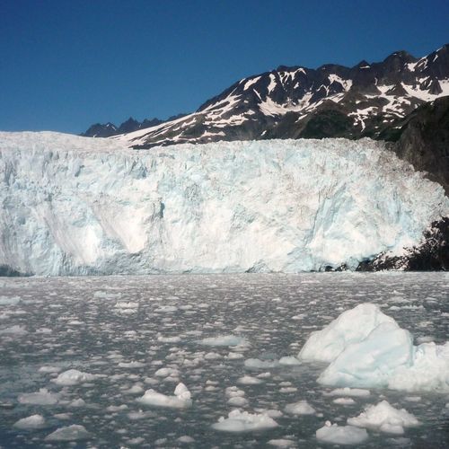
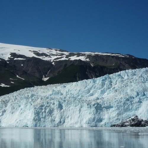
Where glacier meltwater mixes with seawater, the fjords form an unusual estuary. Rock flour ground off by the ice colors the water near glacier fronts and carries minerals that feed phytoplankton, which in turn sustain larger animals. Tidewater glaciers calve ice into these waters, and kayakers can see whales, otters and sea lions from the water. The fjords face the Gulf of Alaska with few sheltered coves, so landings can involve surf, and inexperienced paddlers should consider a guided tour.