Lassen Volcanic National Park guide · 1 min read
Driving the 30-Mile Lassen Park Highway
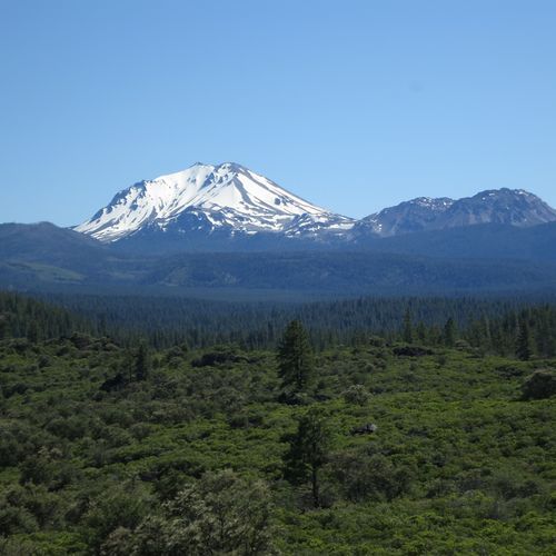
The main road through Lassen Volcanic runs 30 miles from the northwest entrance by Manzanita Lake to the southwest entrance, skirting the east side of Lassen Peak as it goes.
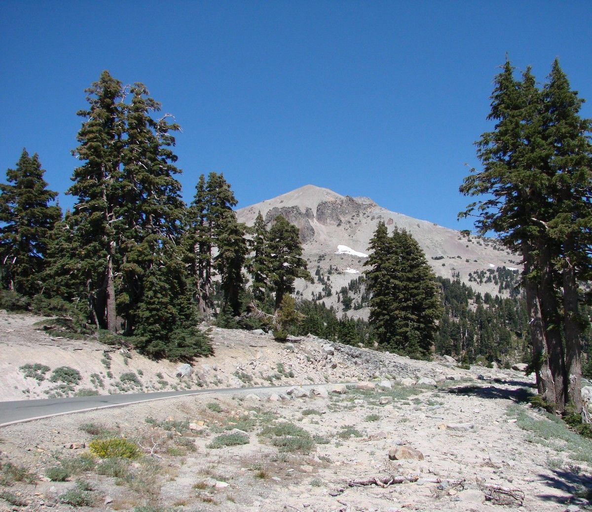
Expect the trip to take roughly an hour if you never pull over, though the roadside sights reward a slower pace. You can drive it in either direction. Dense forest gives way to open ridgelines as the road climbs.
The road reaches its highest point, 8,512 feet, close to the Lassen Peak trailhead. From a ridge segment, you can look south across Lake Almanor. Past that high point, the road falls steeply over volcanic slopes toward the southwest area.
Expect a twisting southern stretch with several switchbacks and no guardrails, a design choice tied to snow removal needs. Slow down for the curves and keep your eyes on the lane ahead.
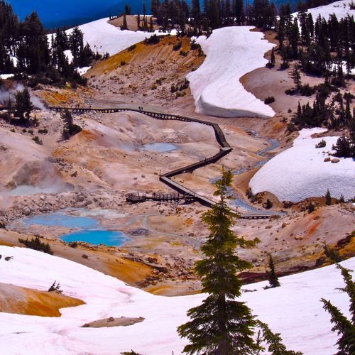
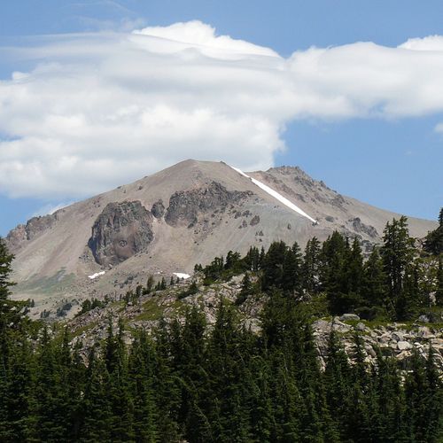
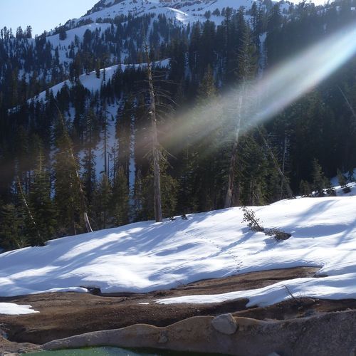
Sulphur Works sits right alongside the road, where thermal vents send up steam. Farther along, the route passes Emerald Lake and Lake Helen, then curls around Lassen Peak itself. Wide views of the valleys and mountains around you open up at many points along the way.
For a roadside audio tour, download the National Park Service app before your visit and select Lassen Volcanic National Park Highway under Self-Guided Tours. The 16 audio files match numbered posts along the road, so the commentary lines up with each marker you pass.