
Lassen Volcanic National Park hiking guide
Lassen Peak Trail
A 4.8-mile out-and-back with 1,990 ft of climbing in Southwest, rated difficult.
Key facts
- Length
- 4.8 mi (7.8 km)
- Elevation gain
- 1,990 ft (607 m)
- Route type
- Out and back
- Difficulty
- Difficult
- Area
- Southwest
- Highest point
- 10,448 ft
- Lowest point
- 8,455 ft
About Lassen Peak Trail
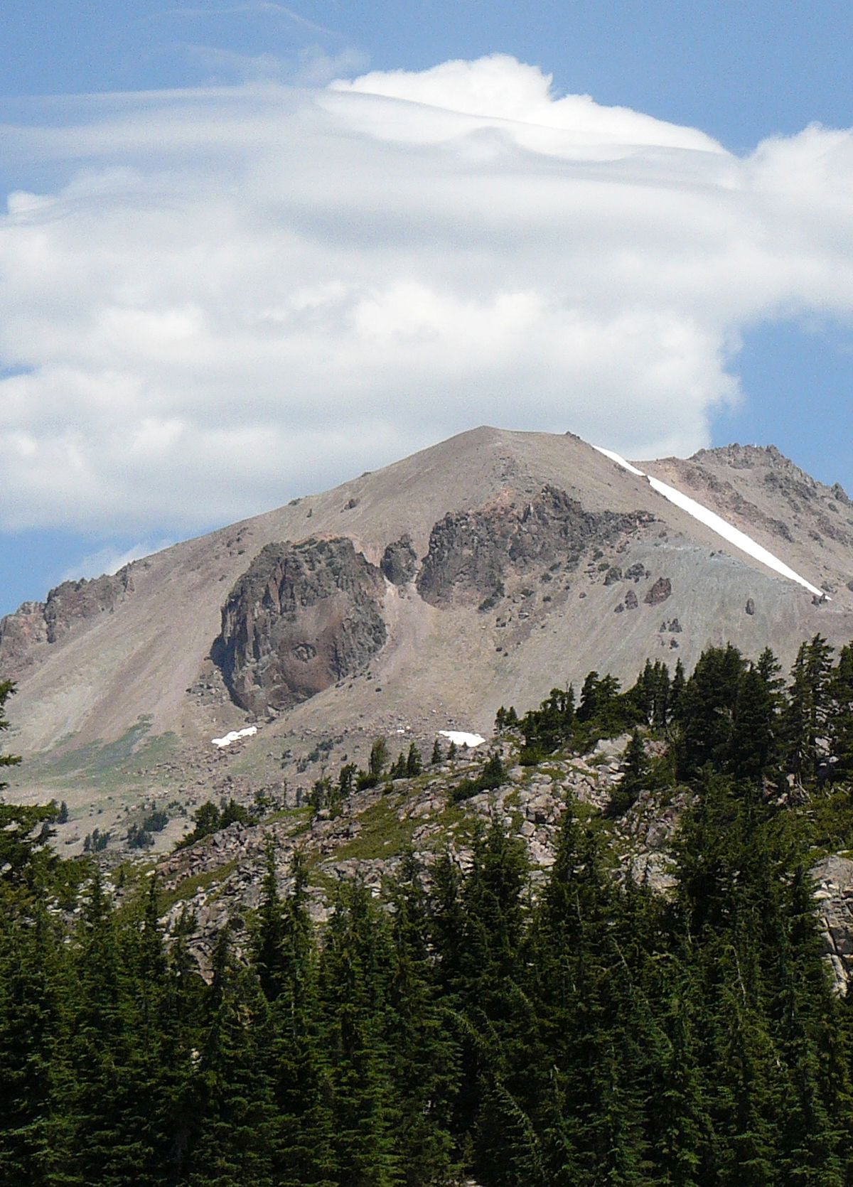
The route climbs out of a forest of twisted mountain hemlock and whitebark pine, then winds up a rocky ridge in a series of switchbacks. Sandy cinders underfoot give way to wide views over the park's volcanic landscape, including the Devastated Area left by past eruptions. The maintained trail ends at a first summit with interpretive signs, and a steeper route continues to the true high point for those who want more.
Route map
This route was checked by Parka editors.
