Voyageurs National Park guide · 1 min read
A Park Built on Water: 500 Islands
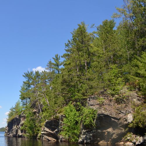
Water covers roughly 84,000 acres of this park, and its shoreline runs 655 miles, much of it left undeveloped.
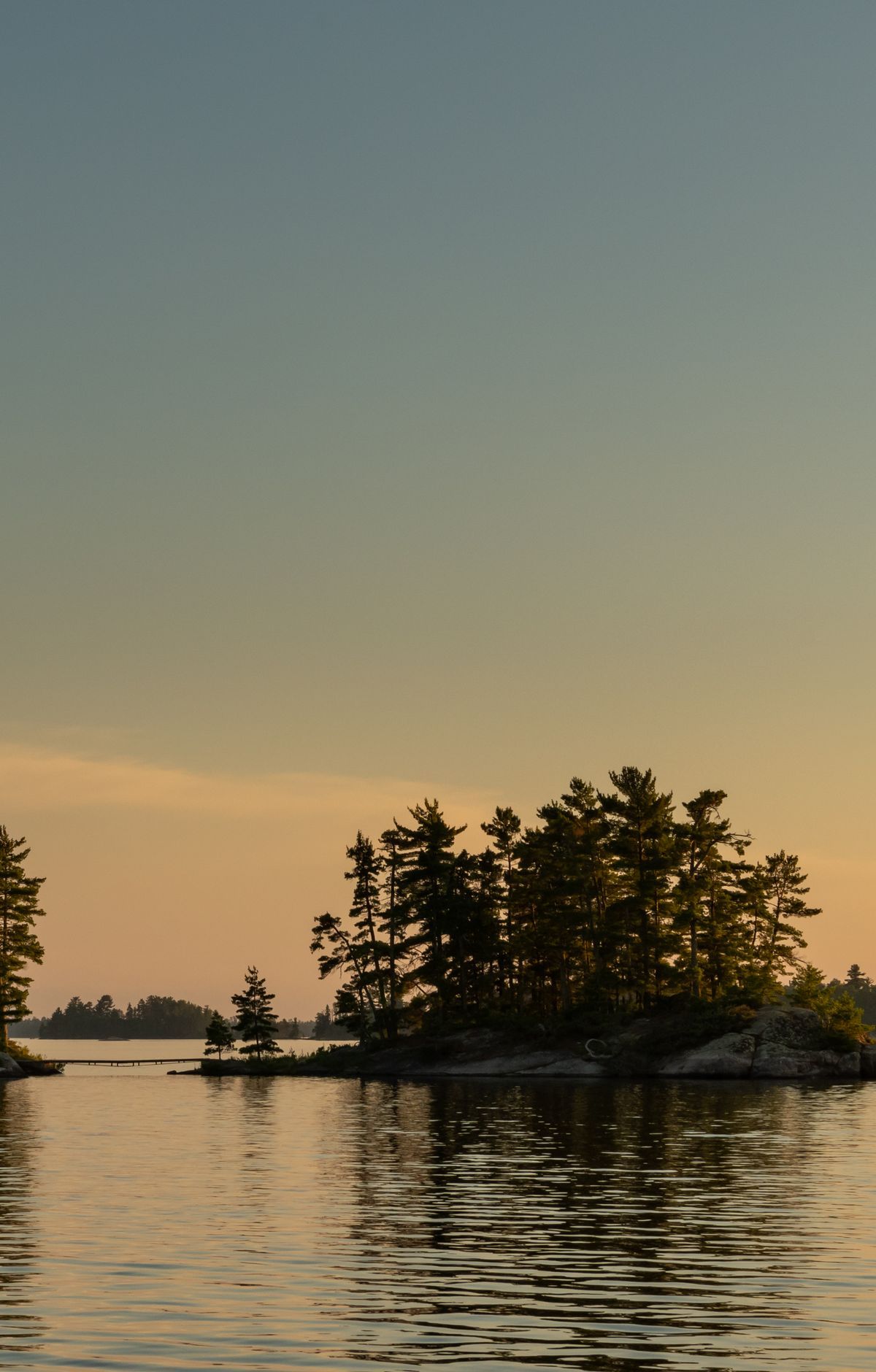
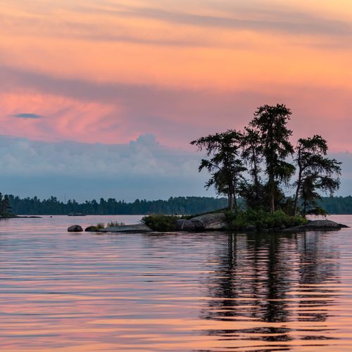
More than 500 islands are scattered across the lakes, so it can be hard to tell where the land ends and the water begins. A water flow map in the park uses arrows to show which way water moves through the connected lakes.
Four large lakes anchor the park: Rainy, Kabetogama, Namakan and Sand Point. Twenty-six smaller interior lakes sit among them and open up campsites, trails and plenty of other things to do on the water. Much of the interior is best reached by boat.
Visitors travel the lakes and islands by canoe, kayak, motorboat and sailboat. Learning to handle a larger boat on big open water is worth doing before you head out, since safe navigation matters here. Visitors can rent canoes and boats at several interior lakes, and ranger-led boat tours also cover the park's natural setting and its history.
More than 270 campsites are spread through the park. Frontcountry sites on the large lakes can be entered from any boat launch in the park, and many campsites sit on lakeshores where you may feel you have the place to yourself. Every campsite except the primitive ones requires a boat to reach.
Houseboaters can stay overnight at designated and undesignated sites. Designated sites come with a sign marking them, metal fire rings, and posts or rings for tying up a vessel. Undesignated sites are simply stretches of untouched shore kept at least 200 yards from anything built, and no more than two houseboats may occupy a single site.