
Voyageurs National Park hiking guide
Anderson Bay Overlook Trail
A 2.1-mile loop with 560 ft of climbing in Namakan Lake, rated easy.
Key facts
- Length
- 2.1 mi (3.5 km)
- Elevation gain
- 560 ft (169 m)
- Route type
- Loop
- Difficulty
- Easy
- Area
- Namakan Lake
- Highest point
- 1,233 ft
- Lowest point
- 1,114 ft
About Anderson Bay Overlook Trail
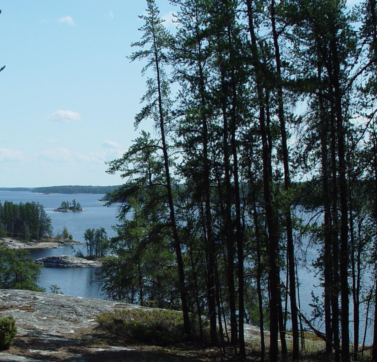
Boats are the only way in, so the route crosses pink granite outcrops scraped smooth by glaciers. Jack, red and white pines grow straight out of bare rock, and openings give wide views across Rainy and Peary Lakes. Beaver flowages and wetlands sit between the ridges, and a stretch follows the Rainy Lake shoreline. Expect rocky footing and the chance to hear warblers in the conifers.
Route map
This route was checked by Parka editors.
