Arches National Park guide · 1 min read
Driving the 19-Mile Arches Scenic Drive
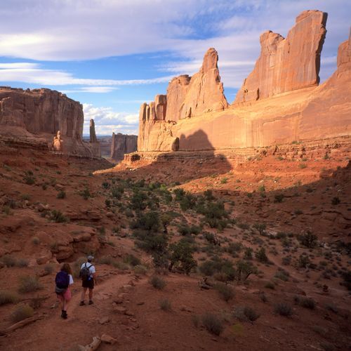
The Arches Scenic Drive is the only road through Arches National Park. It stretches 19 miles between Highway 191 and the Devils Garden trailhead, at the park's far end.
Covering the whole stretch is roughly a thirty-minute drive, yet visitors usually spend much longer pausing at arches and viewpoints.
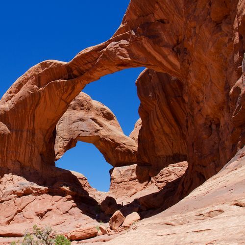
Many well-known arches are visible from the road itself. With one and a half hours, you can drive to The Windows Section, where some of the largest arches stand, or to Delicate Arch Viewpoint, then pause at Wolfe Ranch during the return trip. Three hours is enough to cover the entire road with a ten-minute stop at every viewpoint. Half a day leaves room for the full drive plus a brief stroll near The Windows Section, Delicate Arch Viewpoint, or Balanced Rock.
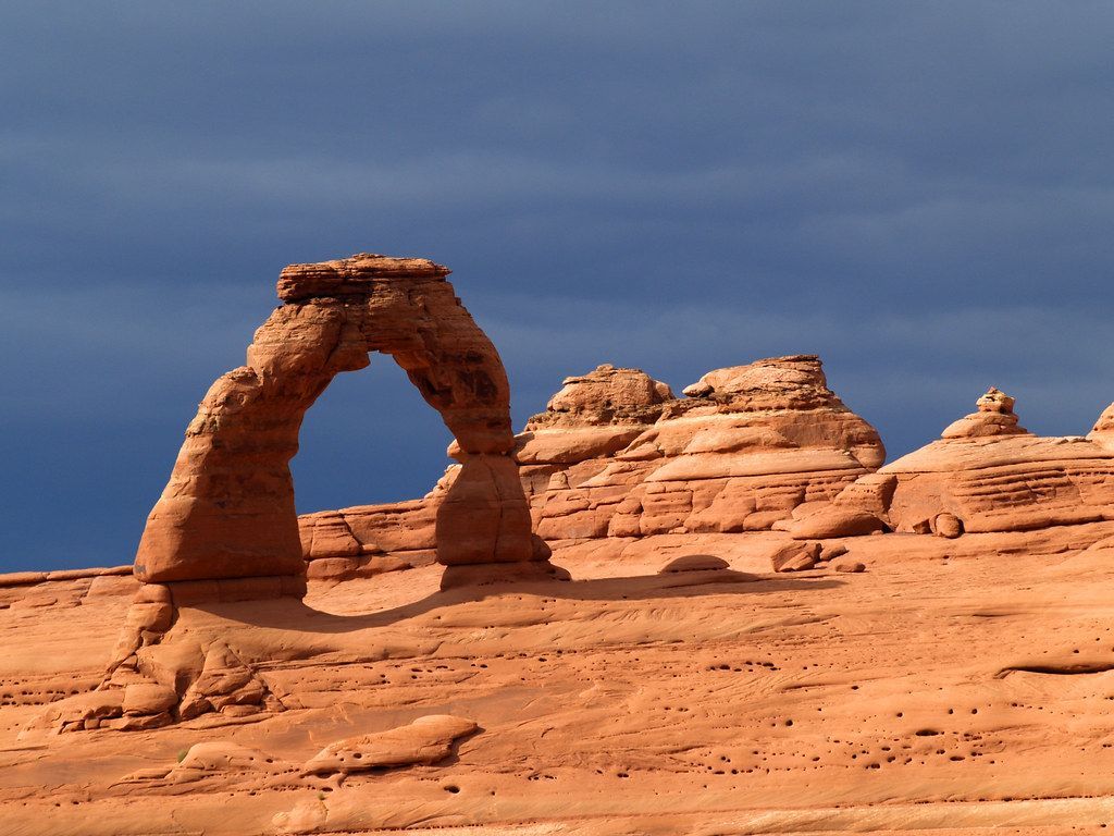
From the viewpoint, Delicate Arch is about a mile away. Its opening measures 46 feet high and 32 feet across, and of the park's free-standing arches, none is larger. The formation has become one of the most recognizable images of Utah. Wolfe Ranch takes visitors back to the late 1800s, when homesteaders worked this fairly barren ground.
Visitors favor Devils Garden, which marks the end of the scenic drive. The Devils Garden Trail loops 7.8 miles and passes eight arches, including Landscape Arch, which looks its best in the early hours of the morning. Hikers clamber over rock and pick their way along thin ridges of sandstone. Those wanting more of a challenge can take the longer primitive trail instead.
Parking is limited at every destination on the drive. Trailheads such as Delicate Arch and Devils Garden can remain full for hours, and weekends and holidays bring the heaviest traffic.