Canyonlands National Park guide · 1 min read
The Needles: Zebra-Striped Spires and Druid Arch
The Needles fills the southeast corner of Canyonlands National Park and takes its name from the striped spires of Cedar Mesa Sandstone that rise across the landscape.
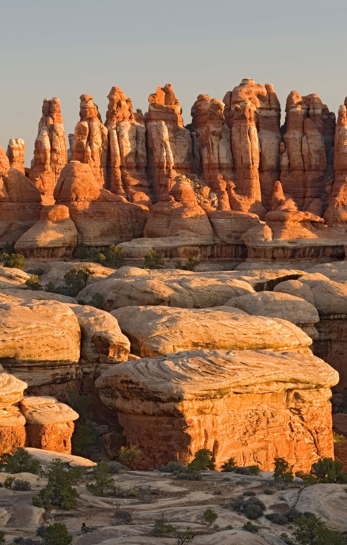
Many of these pinnacles are banded in red and white rock, which gives the district its distinctive look. Chesler Park is one of the best places to get close to them. A short out-and-back hike is enough to reach it, and visitors who want more distance can follow a longer loop.
The district offers more than 60 miles of connected trails, and the network works for everything from a single day on foot to multi-night backpacking trips. Tower Ruin, an ancient Puebloan structure, can be reached on foot or by four-wheel-drive vehicle. Confluence Overlook, where the Colorado and Green rivers come together, is another stop that requires either hiking or a four-wheel-drive vehicle. Druid Arch is a natural arch at the far end of a long canyon, and hikers reach it on foot. Pothole Point Trail offers another trail to explore.
Roughly 50 miles of unpaved backcountry roads connect campsites, trailheads and many natural and cultural sites, and their difficulty ranges from intermediate to extremely technical. Most of these routes call for a high-clearance vehicle with low-range four-wheel drive. The only paved approach is Utah Route 211, which terminates at The Needles. Carry a map and plan the route well ahead, since GPS units frequently lead people astray.
Camping at The Needles gives overnight visitors a place to stay within the district. For details on individual sites, reservations and facilities, the park's website is the best place to check.