
Canyonlands National Park hiking guide
Chesler Park Trail
A 10.2-mile loop with 1,810 ft of climbing in The Rivers, rated difficult.
Key facts
- Length
- 10.2 mi (16.4 km)
- Elevation gain
- 1,810 ft (552 m)
- Route type
- Loop
- Difficulty
- Difficult
- Area
- The Rivers
- Highest point
- 5,669 ft
- Lowest point
- 5,138 ft
- Trip length
- Multi-day
About Chesler Park Trail
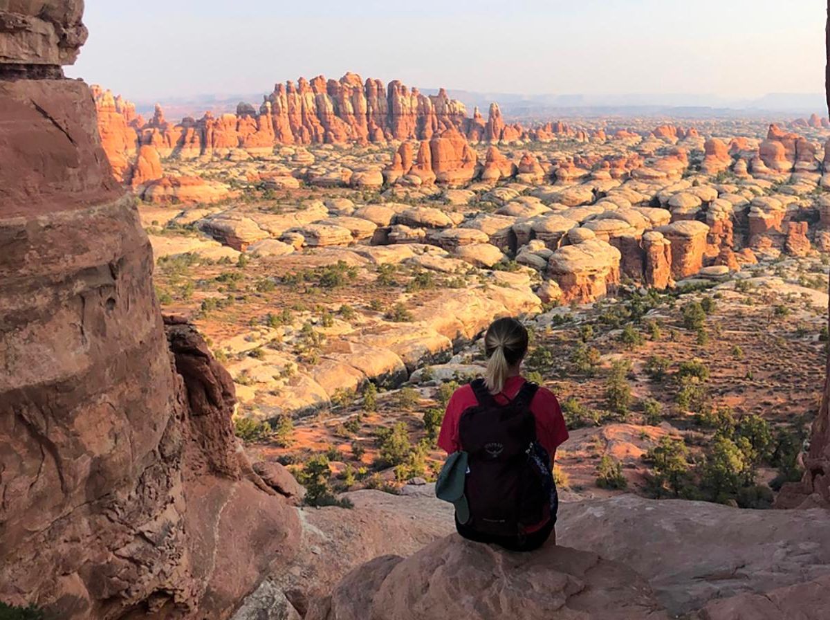
This trail offers a unique blend of grassy meadows and sandstone formations, featuring a walk through narrow rock fractures known as the Joint Trail. The area is dotted with cryptobiotic soil and sparse vegetation, providing a serene backdrop to the dramatic rock formations. Hikers can enjoy stunning views of the Needles District's characteristic spires.
Route map
This route was checked by Parka editors.
