Parka
Congaree National Park

Trails in Congaree National Park

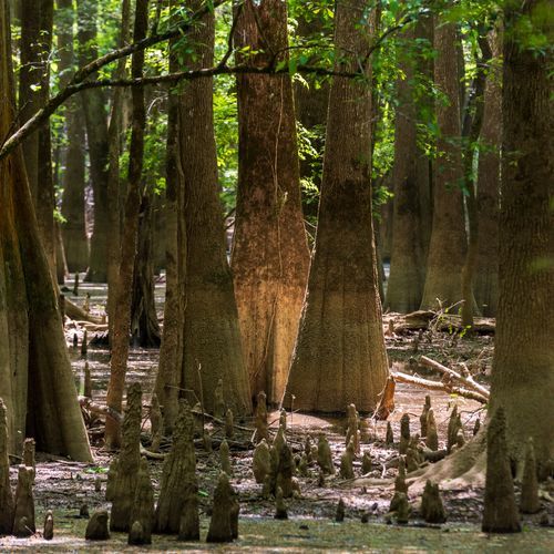
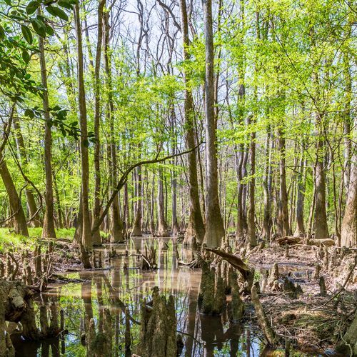
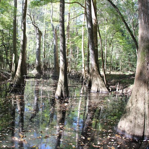
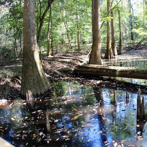
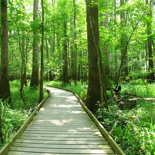
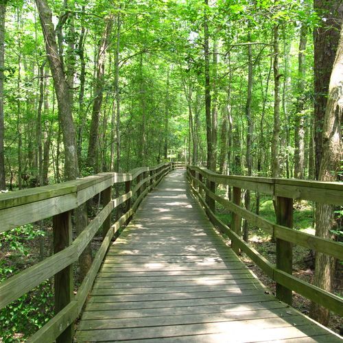
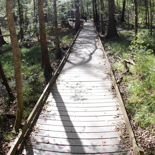
Congaree National Park’s 11 hiking trails range from an easy, highly accessible introduction to the forest to longer, quieter routes that push deep into designated wilderness. The essential first hike is the Boardwalk Loop Trail, an elevated route that brings visitors into the heart of the old-growth bottomland forest without requiring a rugged backcountry outing. It is the park’s signature walk and the best choice for first-time visitors, families, and anyone hoping to see towering hardwoods, bald cypress, tupelo, and the shadowy sloughs that define Congaree’s landscape. Beyond the boardwalk, trails lead farther into the floodplain toward oxbow lakes, forest interior, and the Congaree River. The River Trail offers a long, flat backcountry trek for hikers seeking solitude and a full day in the woods, while the shorter Bates Ferry Trail provides a more efficient route toward river views. Other paths branch through the park’s swamp forest, where the reward is less about elevation or sweeping overlooks than immersion: enormous trees, birdsong, water-stained ground, and a sense of moving through one of the East’s last great wild forests. Hiking here is generally gentle underfoot, but Congaree is never entirely predictable. This is a living floodplain, and high water can close trails or turn familiar paths muddy and wet. Mosquitoes, humidity, and changing conditions are part of the experience, especially in warmer months. Come prepared, check trail conditions before setting out, and embrace the park on its own terms: Congaree is not a summit-chasing destination, but a place to slow down and explore an extraordinary forest at ground level.

Boardwalk Loop

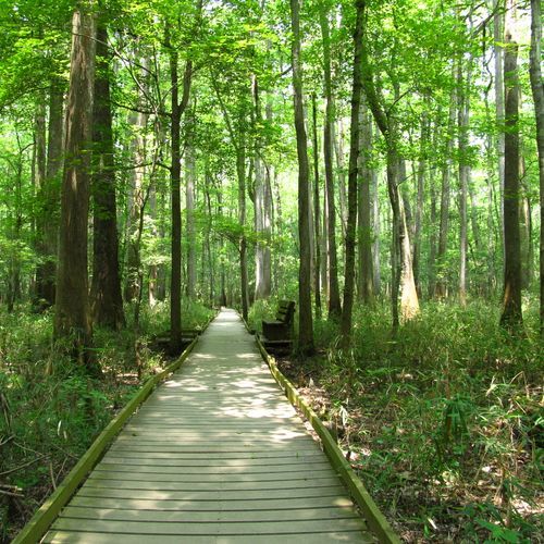
Boardwalk Loop

2.7 mi99 ft gain

This loop runs on raised planks through the forested floodplain, with bald cypress and giant tupelo trees rising from the water on either side. The flat, all-boardwalk surface makes it one of the most accessible ways to see the park's bottomland. Numbered stops along the way match a self-guided brochure from the visitor center, which explains the forest's natural and cultural history. The park floods often, so parts of the route can close after heavy rain.

Kingsnake Trail

Kingsnake Trail

3.7 mi62 ft gain

Birders often call this the park's best route, winding through tupelo and cypress sloughs alongside Cedar Creek. Old bridges cross the wet bottomland, with forest views around many bends. The path is flat but can be muddy, and downed trees or flooding sometimes block it. Parts are hard to follow, so carry a GPS, and the route ends at a junction where you can turn back or continue.

Weston Lake Loop

Weston Lake Loop

2.9 mi48 ft gain

This route winds through old growth forest of tupelo and bald cypress, with Cedar Creek running alongside for almost a mile. The flat path rejoins the boardwalk and leads out to a viewpoint over the lake. Wise Lake, a short side path away, sits among old growth trees and is worth a detour.

Bates Ferry Trail

1.1 mi58 ft gain

This quiet walk follows the remains of an old ferry road through Congaree National Park, on a wide grassy path that stays flat from start to finish. It ends at a view of the Congaree River, which shapes the bottomland forest around it. Fork Swamp Trail is within walking distance, so it's simple to pair the two on one visit.

Fork Swamp Trail

0.6 miLoop

This flat route winds through bottomland forest to the southern channel of Bates Old River, an oxbow lake formed where a former river bend was cut off from the main flow. The trail lies within the floodplain and can flood or turn muddy after heavy rain, so check park alerts before you go. Because it sits close to the Bates Ferry Trail, the two make a natural pairing for a longer walk in the same area.

Oakridge Trail

Oakridge Trail

3.1 mi69 ft gainLoop

This backcountry route leads into the floodplain forest, where the path can be hard to follow and a GPS unit is considered necessary. Its far end meets the Kingsnake Trail and the Weston Lake Trail, so hikers can extend a day or loop back. Expect a quiet, remote walk among tall hardwoods and cypress trees.

River Trail

River Trail

5.2 mi45 ft gain

Within walking distance of the Oakridge and Weston Lake trailheads

Firefly Trail

Firefly Trail

0.3 mi20 ft gain

This flat path runs through the woods just south of the Harry Hampton Visitor Center, a short walk from the Boardwalk Loop. It is one of the park's known spots for synchronous fireflies, which flash in unison through the trees in late spring. Unlike most other trails here, it is not subject to periodic flooding, so it stays clear of the rising water that affects many paths.

Bluff Spur

Bluff Spur

0.1 mi

Short spur near Bluff Campground and the visitor center

Longleaf Trail

Longleaf Trail

0.3 mi16 ft gain

The trail lies a short walk from the Harry Hampton Visitor Center and Longleaf Campground, convenient for a stop before or after a visit. Most of Congaree sits in a floodplain, but parts of this route are elevated and stay dry when the nearby river overflows. Much of the park is nearly level, and brown blazes mark the route through the trees.

Sims Trail

Sims Trail

1.0 mi30 ft gain

This wide, gravel-surfaced route is a former road that links the park's boardwalk with several longer trails. Its flat track works mainly as a connector, since the section crossing the Boardwalk Loop misses much of the bottomland forest. Lying on the floodplain, it is subject to periodic flooding, and summer heat and humidity make early starts sensible.

Length is the full route as drawn on the Parka map, so out-and-back trails count both directions. Gain is the total ascent over that route.

Get offline trail maps and detailed hiking info in the Parka app

Download Parka — It's Free

Get offline trail maps for Congaree National Park

Free on the App Store

Get Parka

Why Park Lovers Choose Parka

Trip Planner

All the tools for epic adventures

Works Offline

Fully functional without cell service

Updated Weekly

Trail conditions, alerts, and closures

Try Risk-Free

7-day free trial, cancel anytime

Start Your 7-Day Free Trial

Unlock everything you need for your next national park trip. Your first week is on us!

National Park vista

Start your adventure today

Download Parka and plan your perfect national park trip in minutes.

Explore All 63 National Parks

Browse parks by region and discover your next adventure