Parka

Cuyahoga Valley National Park hiking guide

detour for OET Towpath

A 1.4-mile trail with 340 ft of climbing in Cuyahoga Valley National Park, rated easy.
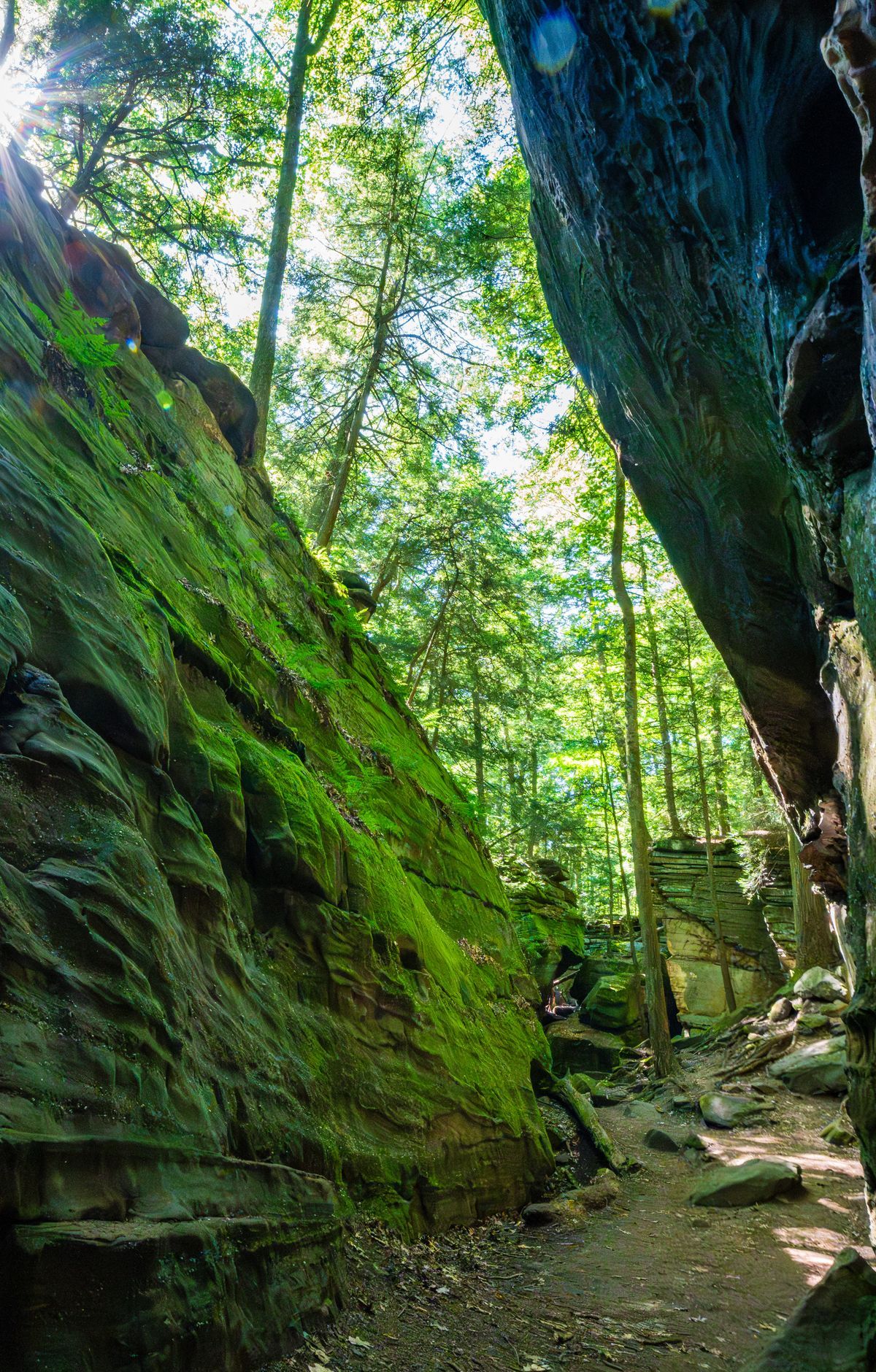
detour for OET Towpath, Cuyahoga Valley National Park
Photo: aparlette

Key facts

Length
1.4 mi (2.3 km)
Elevation gain
340 ft (103 m)
Difficulty
Easy

About detour for OET Towpath

Follow the path of the historic Ohio & Erie Canal, where mules once pulled canal boats. The route winds through a diverse landscape, offering scenic views of the Cuyahoga River and opportunities to see nocturnal wildlife. Highlights include restored locks, historic homes, and bridges. The trail provides a unique blend of natural beauty and cultural heritage, with access to visitor centers like the Canal Exploration Center at Lock 38.

Route map

Route map of detour for OET Towpath in Cuyahoga Valley National Park0.25 miN
StartFinishNorth is up. Drawn from the route in the Parka app.

More trails in Cuyahoga Valley National Park

Why Park Lovers Choose Parka

Trip Planner

All the tools for epic adventures

Works Offline

Fully functional without cell service

Updated Weekly

Trail conditions, alerts, and closures

Try Risk-Free

7-day free trial, cancel anytime

Start Your 7-Day Free Trial

Unlock everything you need for your next national park trip. Your first week is on us!

National Park vista

Start your adventure today

Download Parka and plan your perfect national park trip in minutes.

Explore All 63 National Parks

Browse parks by region and discover your next adventure