Glacier National Park guide · 1 min read
Hiking the Highline Trail
The Highline Trail runs 11.6 miles between Logan Pass and The Loop, and many hikers consider it the signature day hike in Glacier National Park.
Because it links two separate trailheads, it works as a one-way, point-to-point route rather than a loop or an out-and-back. Most people finish in five to seven hours, and the overall difficulty is moderate.
Direction matters on this trail. Starting at Logan Pass means you climb about 800 feet in total while dropping roughly 3,000 feet, so most of the day trends downhill toward The Loop. That small amount of climbing is a big part of the appeal. You get high alpine scenery without first having to haul yourself up a large mountain.
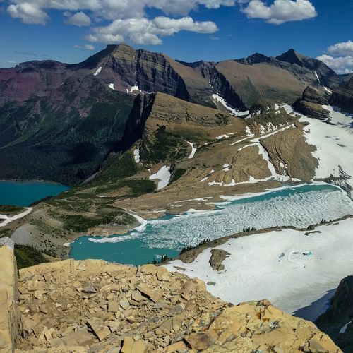
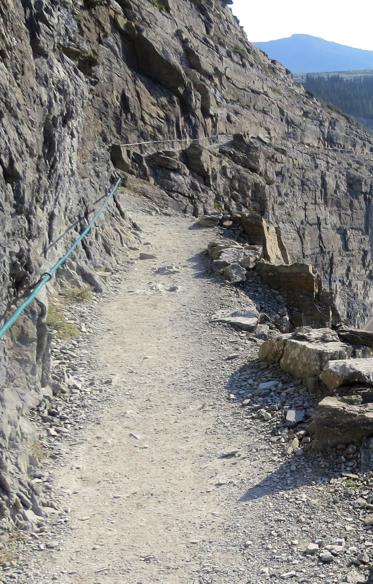
Much of the route follows the cliffs, with Going-to-the-Sun Road far below you. From this high line along the mountainside, the views stretch across the park, and glaciers come into sight along the way. Watch your footing where the path hugs the cliffs, and stop on solid ground when you want to take in the scenery.
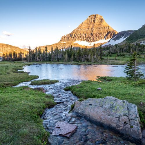
The trail also passes through meadows filled with alpine wildflowers, which add color between the rocky stretches. Wildlife sightings are frequent here, so keep a camera handy and give any animals you meet plenty of room.
Plan the day around the point-to-point layout, since you will end at The Loop rather than back at Logan Pass. With an early start and an easy pace, the hike leaves time to linger at the viewpoints and meadows that make this one of the most popular walks in Glacier.