Glacier National Park guide · 1 min read
Two Climates Clash at the Continental Divide
Glacier straddles the Continental Divide, a line that splits the park into two very different climate zones.
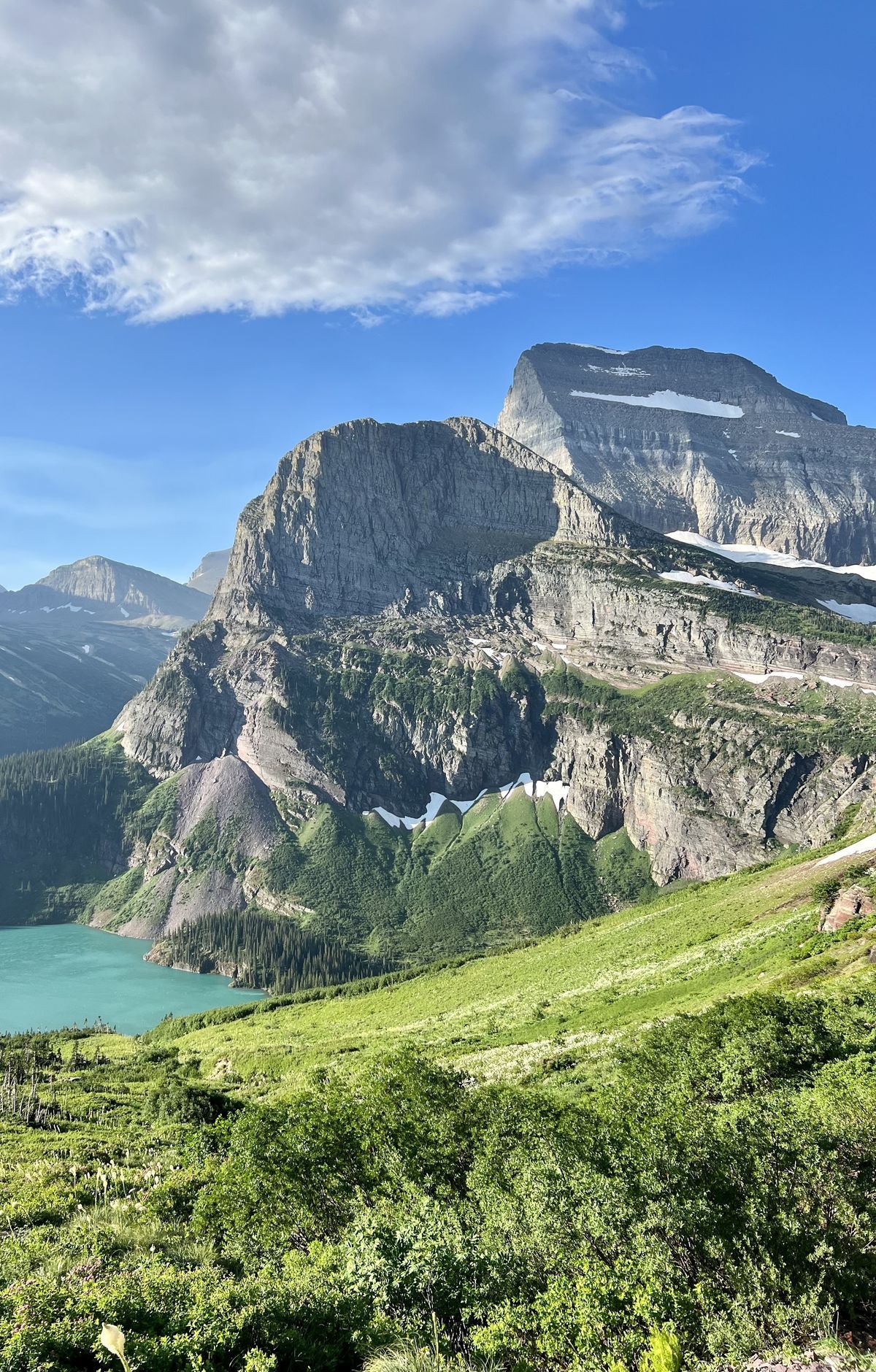
From the west, warm and moist air drifts in off the Pacific. From the northeast, cold and dry Arctic air pushes south. The Rocky Mountains disrupt the flow of these air masses, and they collide right along the Divide.
On the west side, which drains toward the Pacific and sits lower, the climate is milder and wetter. The western valleys collect the most rain in the park, and winter brings the deepest snow there. Even so, summer afternoons in these lowlands can climb past 90 degrees Fahrenheit.
Cross to the east side and the ground rises higher overall. Expect cooler air, brighter skies, and steady, often strong wind. Winter cold snaps tend to settle in longer on this side of the Divide. On any given day, the two halves of the park can feel like separate places.
Elevation adds another layer. The park spans more than 7,000 feet from its lowest to its highest ground, and the high country runs about 10 to 15 degrees cooler than the valleys. Logan Pass is a good example, where cold and blustery conditions can show up while it is warm below. Nights can dip to freezing anywhere in the park, and snow has fallen in every month.
Because conditions differ so much, the National Weather Service publishes separate forecasts for each side, with detailed outlooks for West Glacier and St. Mary. Check both online or at a park information station before heading out. Hikers on the Continental Divide Trail feel these shifts firsthand, since 110 miles of the route cross Glacier before it leaves the park at Marias Pass and continues south toward Mexico.