
Glacier National Park hiking guide
Granite Park Trail
An 11.1-mile loop with 1,430 ft of climbing in Logan Pass, rated difficult.
Key facts
- Length
- 11.1 mi (17.9 km)
- Elevation gain
- 1,430 ft (434 m)
- Route type
- Loop
- Difficulty
- Difficult
- Area
- Logan Pass
About Granite Park Trail
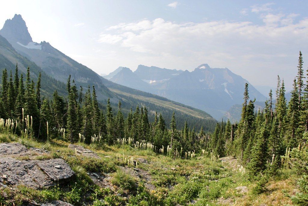
This one-way, point-to-point hike follows the famed Highline Trail from Logan Pass to the Loop Trailhead and finishes at the historic Granite Park Chalet. Reached only by foot, the chalet stands as a backcountry landmark high above sweeping alpine terrain. To complete the route as mapped, plan to use the park shuttle for transportation. Carry plenty of water since there is no potable source at the chalet, and filter before arriving if needed. Overnight stays require advance reservations, so plan ahead for this iconic adventure.
Route map
This route was checked by Parka editors.
