
Glacier National Park hiking guide
Running Eagle Falls
A 0.5-mile out-and-back with 19 ft of climbing in Two Medicine, rated easy.
Key facts
- Length
- 0.5 mi (0.9 km)
- Elevation gain
- 19 ft (6 m)
- Route type
- Out and back
- Difficulty
- Easy
- Area
- Two Medicine
- Highest point
- 4,949 ft
- Lowest point
- 4,929 ft
About Running Eagle Falls
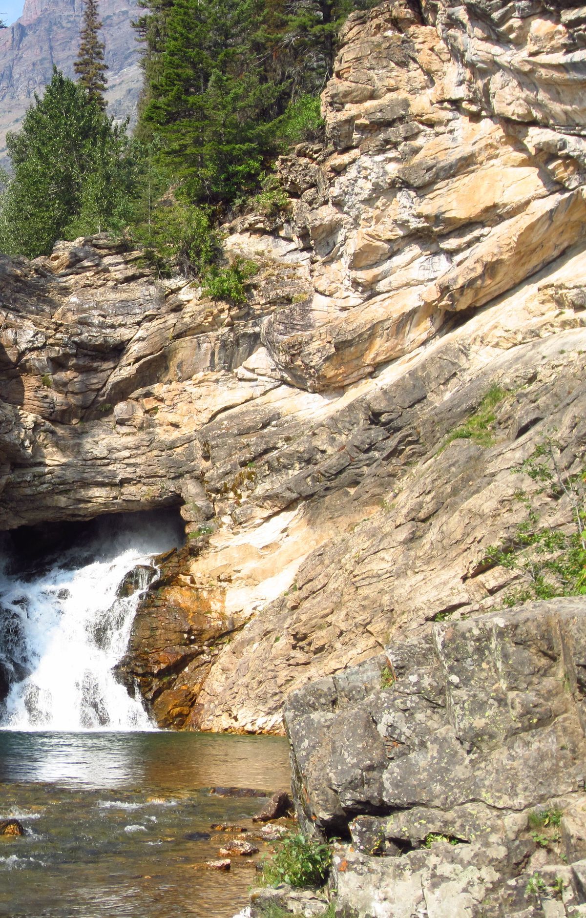
Running Eagle Falls, also called Trick Falls, appears to spill straight from a cavern in the cliff as mountain water rushes downward. This short interpretive walk includes educational signs along the way and leads to a viewing platform and a large rock near the base of the falls, perfect for resting and taking in the scene. Snow can linger in spring and fall, and the road to the trailhead closes seasonally, sometimes requiring a longer walk along the park road. Traction devices may be helpful when conditions are icy, and cell service is limited, so download offline maps in advance.
Accessibility: This National Park Service maintained trail is generally accessible for visitors using wheelchairs, mobility equipment, or strollers, though all terrain or motorized assistance may be helpful depending on conditions. The surface is typically hard packed gravel or paved asphalt and at least four feet wide, with grades estimated at five percent or less. Two designated van accessible parking spaces with striped access aisles are available in the paved lot off Two Medicine Road near the southeast end of the trail. About 0.2 miles in, a short narrow bridge without edge barriers requires a step up and may require assistance. Public restrooms are located near the trailhead, but potable water is not available.
Route map
This route was checked by Parka editors.
