
Grand Canyon National Park hiking guide
North Kaibab Trail [CLOSED]
A 14.3-mile trail with 5,300 ft of climbing in North Rim, rated difficult.
Key facts
- Length
- 14.3 mi (23.1 km)
- Elevation gain
- 5,300 ft (1,614 m)
- Difficulty
- Difficult
- Area
- North Rim
- Trip length
- Multi-day
About North Kaibab Trail [CLOSED]
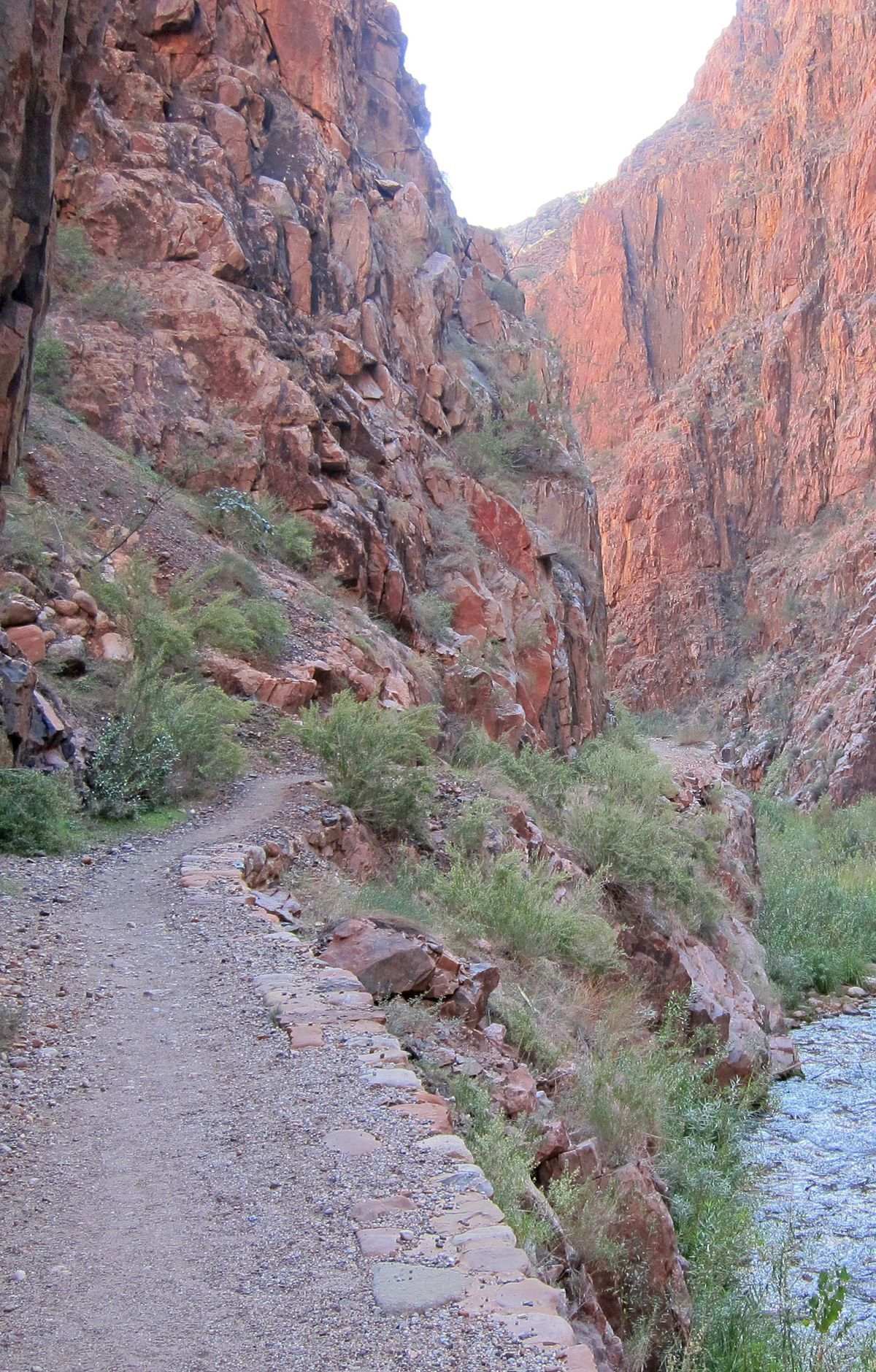
The North Kaibab Trail is closed until further notice. The Dragon Bravo Fire closed the North Rim developed area and its trails, and the park lists the entire North Kaibab Trail, including Cottonwood Campground, as closed. When open, the trail descends through switchbacks from fir and aspen forest into desert, past the Supai Tunnel and Roaring Springs, with a side trip to Ribbon Falls, then through the Inner Gorge to the Colorado River.
Route map
This route was checked by Parka editors.
